Kirk Cleuch

Valley in Roxburghshire

Scotland

Kirk Cleuch

The B3157 heading for Old Castleton In Roxburghshire, Scottish Borders.
The B3157 heading for Old Castleton Credit: James Denham

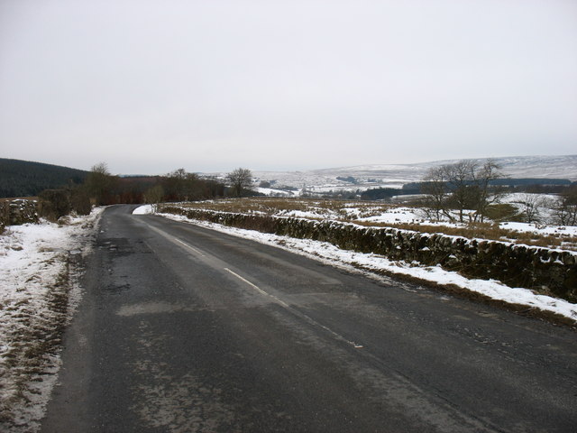
Kirk Cleugh, also known as Kirk Cleuch Valley, is a picturesque area located in the historical county of Roxburghshire, Scotland. Situated in the southern part of the country, this valley is nestled within the beautiful landscapes of the Scottish Borders. Kirk Cleugh is renowned for its stunning natural scenery, making it a popular destination for nature enthusiasts and outdoor lovers.

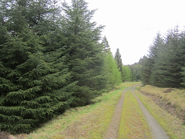
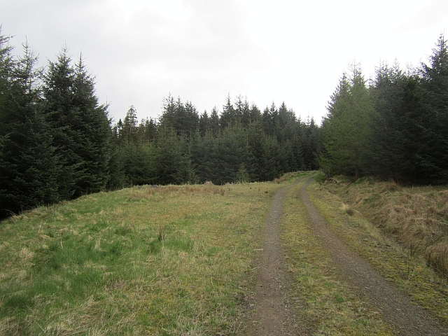
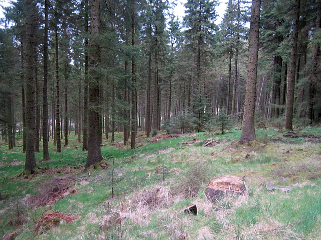
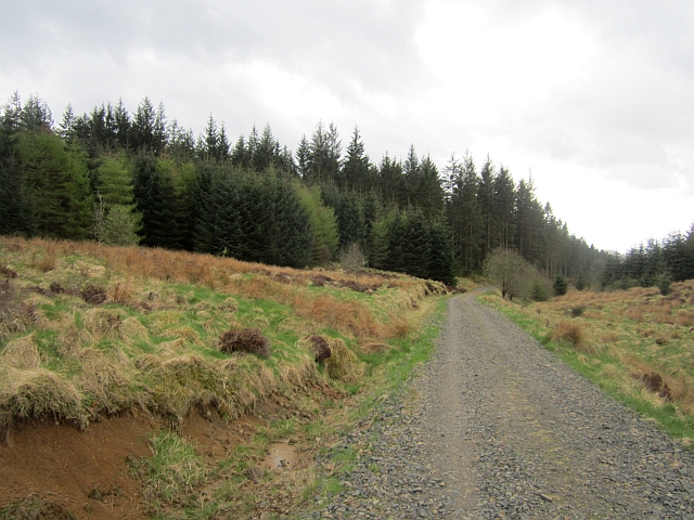
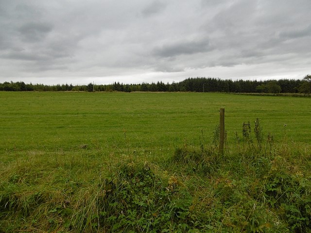
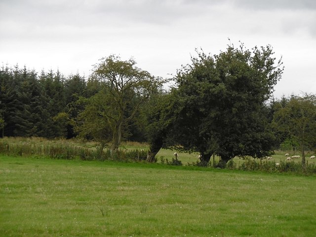
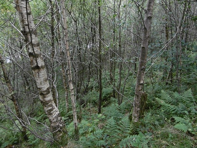
The valley is characterized by its rolling hills, lush green meadows, and meandering rivers, which create a tranquil and serene atmosphere. The area is adorned with several small streams that flow into the larger Kirk Cleugh Burn, adding to its charm. The valley's landscape is dotted with patches of woodland, providing shelter to a diverse range of flora and fauna.

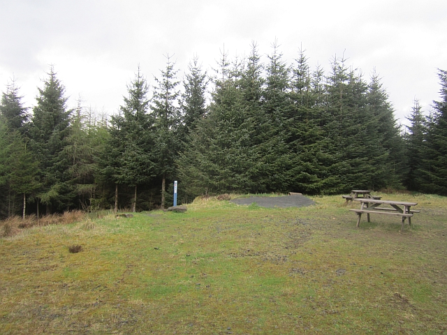
Kirk Cleugh is also home to various walking trails and hiking routes, offering visitors the opportunity to explore and discover the area's natural treasures. The valley's paths wind through the hills and valleys, providing breathtaking views of the surrounding countryside.

In addition to its natural beauty, Kirk Cleugh has historical significance. The name "Kirk Cleugh" derives from the presence of an old church or Kirk that once stood in the area. Although the church is no longer present, the remnants of its history can still be seen, adding an extra layer of interest to the valley.

Overall, Kirk Cleugh Valley is a hidden gem in Roxburghshire, offering visitors a peaceful retreat into nature's embrace. With its stunning landscapes, abundant wildlife, and historical charm, it is a must-visit destination for those seeking tranquility and natural beauty in Scotland's Borders.

If you have any feedback on the listing, please let us know in the comments section below.

Kirk Cleuch Images

Images are sourced within 2km of 55.200553/-2.7692682 or Grid Reference NY5189. Thanks to Geograph Open Source API. All images are credited.

The B3157 heading for Old Castleton In Roxburghshire, Scottish Borders.
The B3157 heading for Old Castleton
In Roxburghshire, Scottish Borders.
Logging road, Newcastleton Forest The road climbs gently and has settled down a bit after being resurfaced a few years ago. It is used by the blue mountainbike route - quite a slog out but repaid by a singletrack return in the woods to the left.
Logging road, Newcastleton Forest
The road climbs gently and has settled down a bit after being resurfaced a few years ago. It is used by the blue mountainbike route - quite a slog out but repaid by a singletrack return in the woods to the left.
Logging road, Newcastleton Forest A gentle climb on the blue mountain bike route.
Logging road, Newcastleton Forest
A gentle climb on the blue mountain bike route.
Mature conifers, Newcastleton Forest Some trees have been left to grow while most of the bank here has been felled and replanted. The hillside has many cleuchs and reentrants and is used by the blue mountain bike trail.
Mature conifers, Newcastleton Forest
Some trees have been left to grow while most of the bank here has been felled and replanted. The hillside has many cleuchs and reentrants and is used by the blue mountain bike trail.
Picnic tables, Newcastleton  Forest The end of the road slog on the blue mountain bike route. The return to Dykecrofts is mostly singletrack.
Picnic tables, Newcastleton Forest
The end of the road slog on the blue mountain bike route. The return to Dykecrofts is mostly singletrack.
Logging road, Newcastleton Forest At the foot of The Caddrouns singletrack descent on the blue route. The route uses the road before resuming as singletrack in the mature woods on the skyline.
Logging road, Newcastleton Forest
At the foot of The Caddrouns singletrack descent on the blue route. The route uses the road before resuming as singletrack in the mature woods on the skyline.
Blue route, Newcastleton A singletrack section leaves the logging road beside the Priesthill Burn. The singletrack section is named Pouter Lampert after a long abandoned farm on this hillside.
Blue route, Newcastleton
A singletrack section leaves the logging road beside the Priesthill Burn. The singletrack section is named Pouter Lampert after a long abandoned farm on this hillside.
Blue route, Newcastleton Raised timber walkway on the rather fun singletrack return from Priesthill. Well worth the slog up the forest road to get to it.
Blue route, Newcastleton
Raised timber walkway on the rather fun singletrack return from Priesthill. Well worth the slog up the forest road to get to it.
Blue route, Newcastleton Towards the end of the last bit of singletrack.
Blue route, Newcastleton
Towards the end of the last bit of singletrack.
Northshore, Newcastleton No skinnies or balance beams, just easy boardwalk which makes a lovely noise with tyres.

The blue at Newcastleton, also the last bit of the red.
Northshore, Newcastleton
No skinnies or balance beams, just easy boardwalk which makes a lovely noise with tyres. The blue at Newcastleton, also the last bit of the red.
Mature conifers, Newcastleton Forest These must be some of the few surviving trees from when I first visited the forest, orienteering, in 1980.
Mature conifers, Newcastleton Forest
These must be some of the few surviving trees from when I first visited the forest, orienteering, in 1980.
Cemetery in Liddesdale
Field near Florida During the 1980s fields beyond this one were planted with conifers.
Field near Florida
During the 1980s fields beyond this one were planted with conifers.
Fields near Florida There was an area of rough grazing behind this field when I was orienteering here in 1980. Since then it was planted with conifers.
Fields near Florida
There was an area of rough grazing behind this field when I was orienteering here in 1980. Since then it was planted with conifers.
Woodland above the Liddel Water A steep slope falls to the river.
Woodland above the Liddel Water
A steep slope falls to the river.
Liddel Water Steep slopes on the outside of a meander at Mains.
Liddel Water
Steep slopes on the outside of a meander at Mains.
Castleton Muir A rashy field on the site of Castleton, a lost village.
Castleton Muir
A rashy field on the site of Castleton, a lost village.
The B6357 heading for Newcastleton
Show me another place!

Kirk Cleuch is located at Grid Ref: NY5189 (Lat: 55.200553, Lng: -2.7692682)

Unitary Authority: The Scottish Borders

Police Authority: The Lothians and Scottish Borders

What 3 Words

///leaps.bluffing.refusals. Near Langholm, Dumfries & Galloway

Related Wikis

Liddel Castle

Liddel Castle is a ruined castle in Liddesdale, by the Liddel Water, near Castleton in the Scottish Borders area of Scotland, in the former county of Roxburghshire...

Dinlabyre

Dinlabyre is a village on the B6357 in Liddesdale, on the edge of the Newcastleton Forest, close to Castleton, in the Scottish Borders area of Scotland...

Steele Road railway station

Steele Road railway station served the hamlet of Steele Road, Scottish Borders, Scotland, from 1862 to 1969 on the Border Union Railway. == History... ==

Newcastleton railway station

Newcastleton railway station served the village of Newcastleton, Scottish Borders, Scotland from 1862 to 1969 on the Border Union Railway. == History... ==

Castleton, Scottish Borders

Castleton (Scottish Gaelic: Baile Chaisteil) is a civil parish in the Scottish Borders area of Scotland, in the former Roxburghshire, in the extreme south...

Newcastleton

Newcastleton, also called Copshaw Holm, is a village in Liddesdale, the Scottish Borders, a few miles from the border with England, on the Liddel Water...

Ettleton

Ettleton is a village near Castleton, in the Scottish Borders area of Scotland, in the former Roxburghshire. == Etymology and history == Ettleton Parish...

Hermitage Water

The Hermitage Water is a river in Liddesdale, in the Scottish Borders area of Scotland. Among its many feeder burns are Braidley Burn, Dinley Burn, Gorrenberry...

Nearby Amenities

Located within 500m of 55.200553,-2.7692682
Bus Stop
Old Castleton
Naptan AtcoCode: 69001550
Naptan Bearing: SW
Naptan BusStopType: CUS
Naptan CommonName: Old Castleton
Naptan Indicator: opp Entrance
Naptan Landmark: Farm
Naptan NaptanCode: 72728458
Naptan Street: B6357
Naptan Verified: no
Source: naptan_import
Lat/Long: 55.202186/-2.7667896
Bus Stop
Old Castleton
Naptan AtcoCode: 69001551
Naptan Bearing: NE
Naptan BusStopType: CUS
Naptan CommonName: Old Castleton
Naptan Indicator: at entrance
Naptan Landmark: Farm
Naptan NaptanCode: 72728382
Naptan Street: B6357
Naptan Verified: no
Source: naptan_import
Lat/Long: 55.202329/-2.7669023
Power: pole
Lat/Long: 55.2021509/-2.7628939
Power: pole
Lat/Long: 55.2015248/-2.7638755
Power: pole
Lat/Long: 55.2008888/-2.7649256
Power: pole
Lat/Long: 55.2003714/-2.7674415
Power: pole
Lat/Long: 55.2001204/-2.7686753
Power: pole
Lat/Long: 55.1999122/-2.7697133
Power: pole
Lat/Long: 55.1996519/-2.7709713
Power: pole
Lat/Long: 55.1993933/-2.7722909
Power: pole
Lat/Long: 55.1991445/-2.7735475
Power: pole
Lat/Long: 55.1988988/-2.7747492
Power: pole
Lat/Long: 55.1986393/-2.7760072
Liddel Castle
Heritage: yes
Historic: archaeological_site
Wikidata: Q15242326
Wikipedia: en:Liddel Castle
Lat/Long: 55.20142/-2.7719101
Annett Hill
Ele: 160
Natural: peak
Lat/Long: 55.198546/-2.7674741
Power: pole
Lat/Long: 55.2015763/-2.7658039
Power: pole
Lat/Long: 55.2022229/-2.766633
Power: pole
Lat/Long: 55.2023566/-2.766821
The data included in this document is from www.openstreetmap.org. The data is made available under ODbL.

Have you been to Kirk Cleuch?

Leave your review of Kirk Cleuch below (or comments, questions and feedback).