Woodacre Pasture
Downs, Moorland in Lancashire Wyre
England
Woodacre Pasture
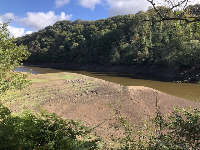
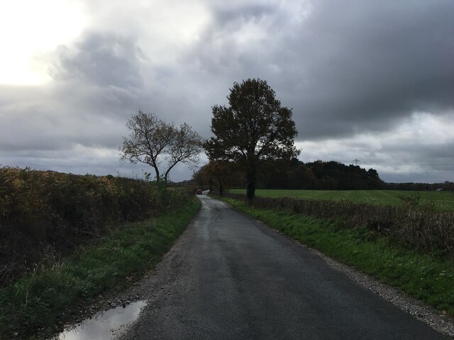
Woodacre Pasture is a vast and picturesque area located in the county of Lancashire, in the northwest region of England. Known for its diverse landscape, it encompasses a mix of downs, moorland, and lush green pastures. Spanning over several square miles, Woodacre Pasture offers a tranquil and idyllic setting for both locals and visitors alike.
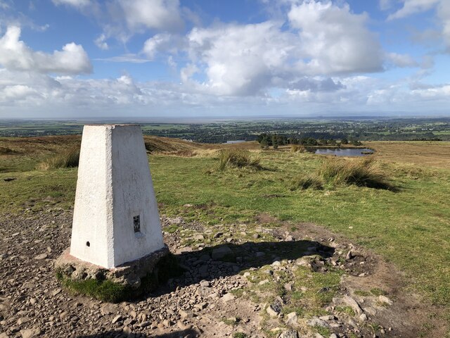
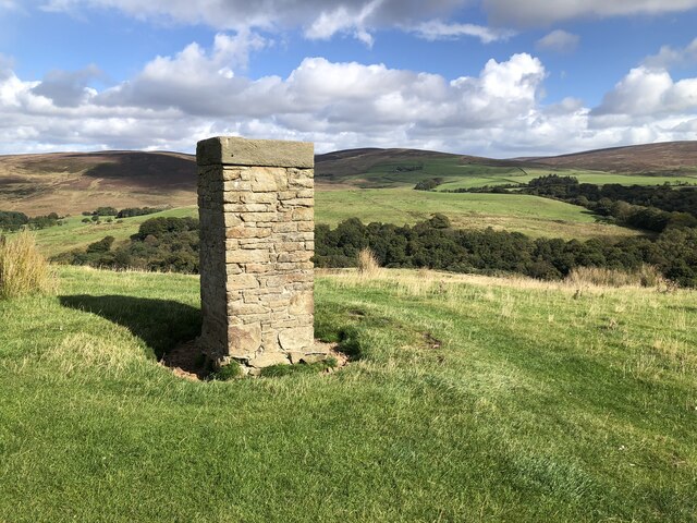
The downs of Woodacre Pasture are characterized by rolling hills and open grasslands, providing panoramic vistas of the surrounding countryside. These downs are often grazed by livestock such as sheep and cattle, contributing to the pastoral charm of the area. The moorland, on the other hand, features a more rugged terrain with heather-covered hills and scattered patches of woodland, creating a unique and wild atmosphere.
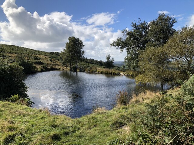
The pastureland in Woodacre is rich and fertile, supporting a variety of flora and fauna. Wildflowers, including orchids and bluebells, bloom during the spring and summer months, painting the landscape in vibrant colors. The area is also home to an array of wildlife, including red deer, rabbits, and numerous bird species.
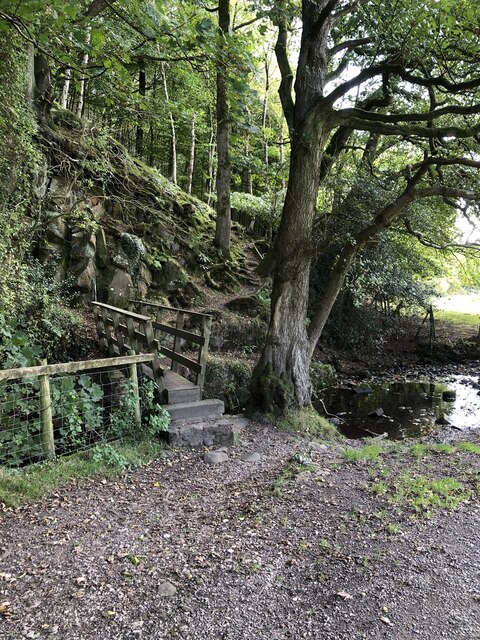
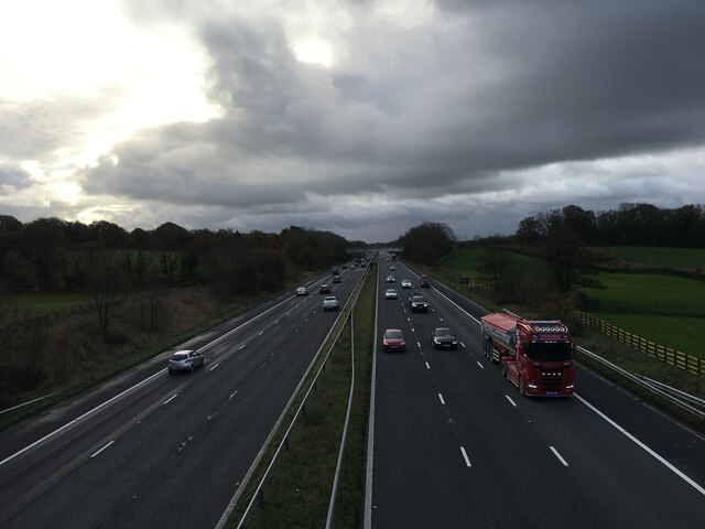
Woodacre Pasture offers ample opportunities for outdoor activities and exploration. The downs and moorland provide excellent hiking and walking trails, allowing visitors to immerse themselves in the natural beauty of the area. Additionally, the pastureland is a perfect spot for picnics, with its peaceful ambiance and scenic views.
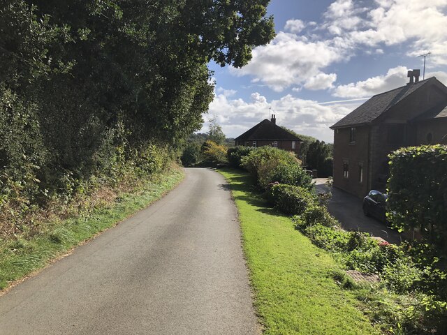
Overall, Woodacre Pasture in Lancashire is a captivating destination that showcases the natural beauty of England's countryside. Its combination of downs, moorland, and lush pastures make it a haven for nature enthusiasts and a place where one can truly appreciate the charm of rural Lancashire.
If you have any feedback on the listing, please let us know in the comments section below.
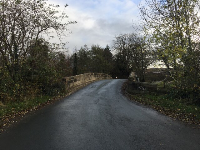
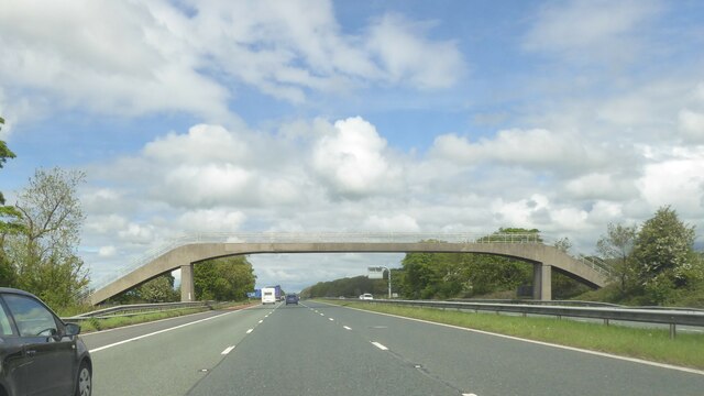
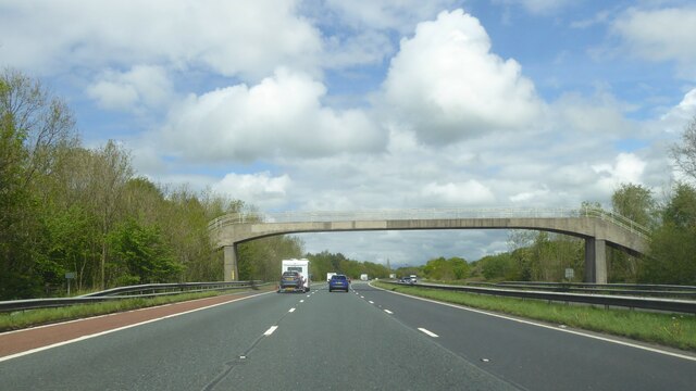
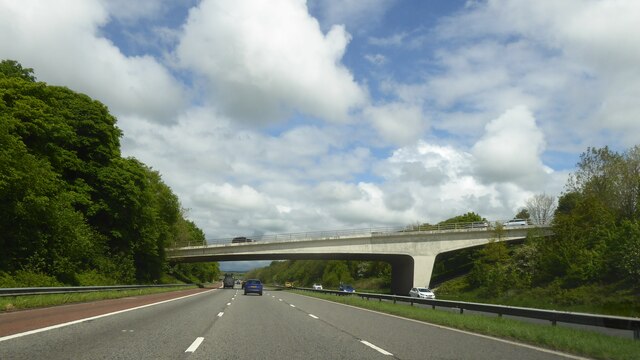
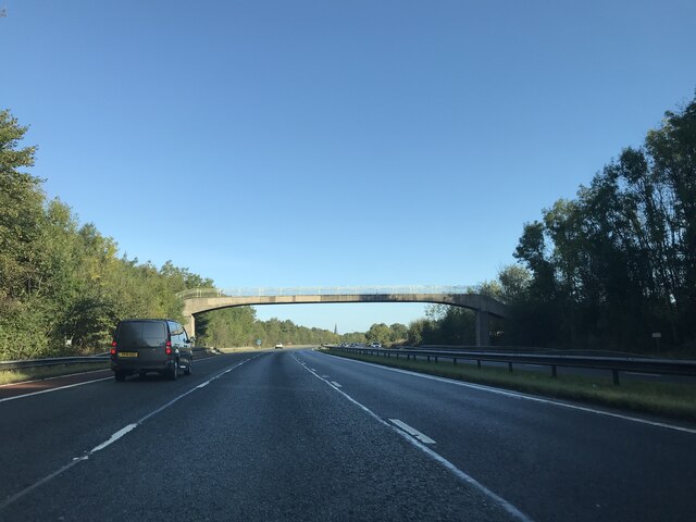
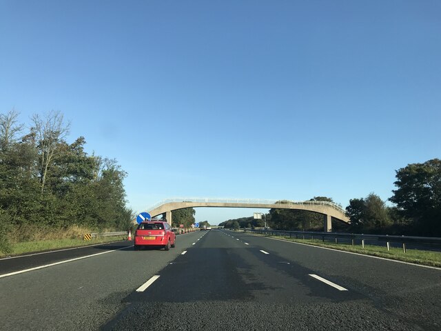
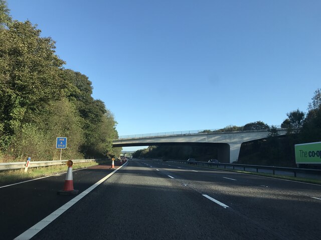
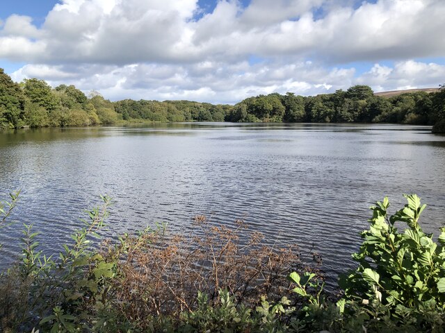
Woodacre Pasture Images
Images are sourced within 2km of 53.921925/-2.7408254 or Grid Reference SD5147. Thanks to Geograph Open Source API. All images are credited.
Woodacre Pasture is located at Grid Ref: SD5147 (Lat: 53.921925, Lng: -2.7408254)
Administrative County: Lancashire
District: Wyre
Police Authority: Lancashire
What 3 Words
///gateway.recruiter.snipped. Near Garstang, Lancashire
Nearby Locations
Related Wikis

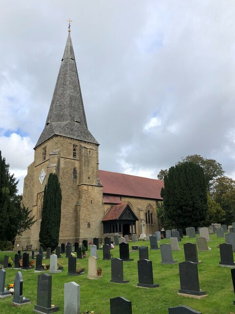
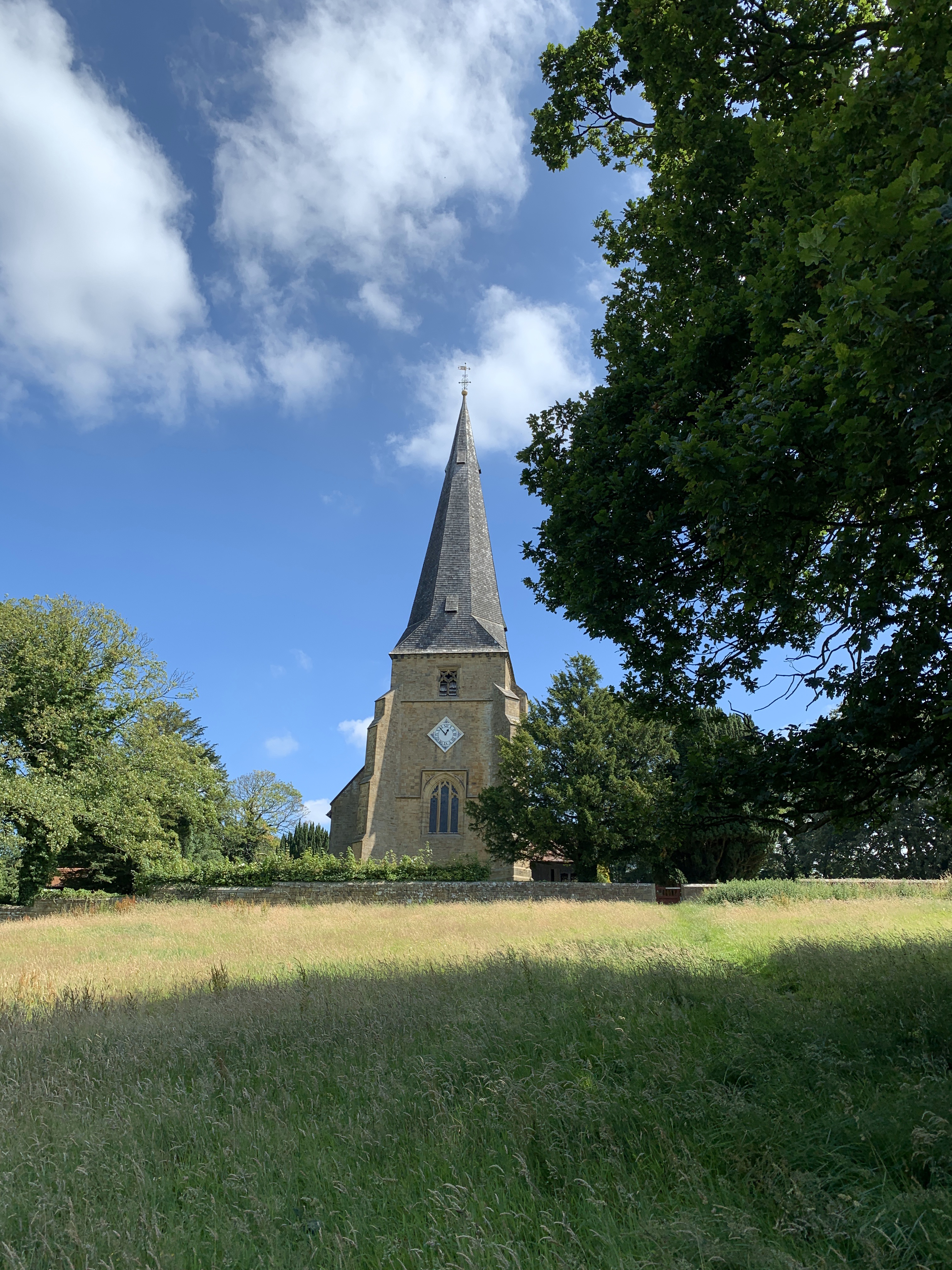
All Saints Church, Barnacre
All Saints Church is in Delph Lane, Barnacre-with-Bonds, Lancashire, England. It is an active Anglican parish church in the deanery of Garstang, the archdeaconry...

St Peter's Church, Scorton
St Peter's Church is in the village of Scorton, Lancashire, England. It is an active Anglican parish church in the deanery of Garstang, the archdeaconry...

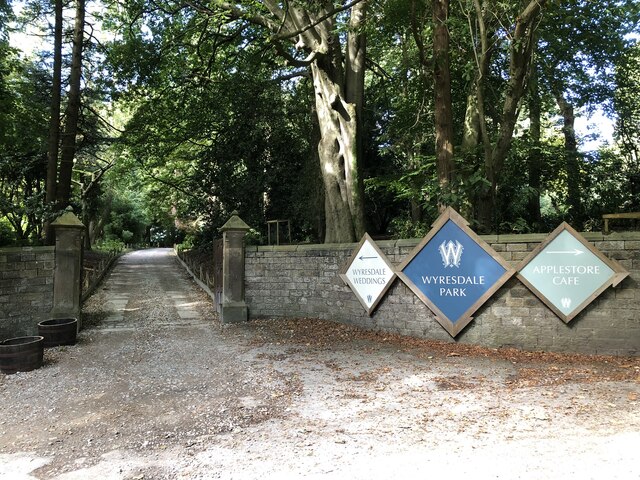
Wyresdale Park
Wyresdale Park is an English country house and licensed wedding ceremony venue located within the Forest of Bowland, to the northeast of Scorton, Lancashire...
Scorton, Lancashire
Scorton is a small village near the River Wyre, in the Wyre district of Lancashire, England. It is located north of Garstang. The name means "farmstead...
Nearby Amenities
Located within 500m of 53.921925,-2.7408254Have you been to Woodacre Pasture?
Leave your review of Woodacre Pasture below (or comments, questions and feedback).