Gorse Covert
Wood, Forest in Lancashire Wyre
England
Gorse Covert
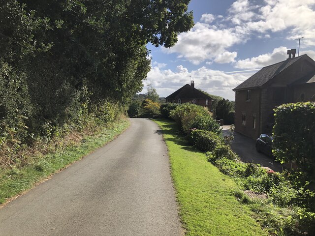
Gorse Covert, located in Lancashire, England, is a charming woodland area that has become a popular destination for nature enthusiasts and visitors seeking tranquility. Situated within close proximity to the town of Warrington, Gorse Covert is easily accessible and offers a peaceful retreat from the hustle and bustle of urban life.
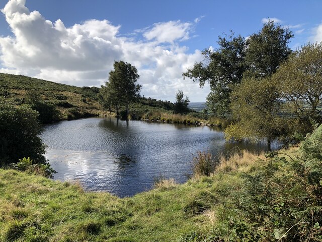
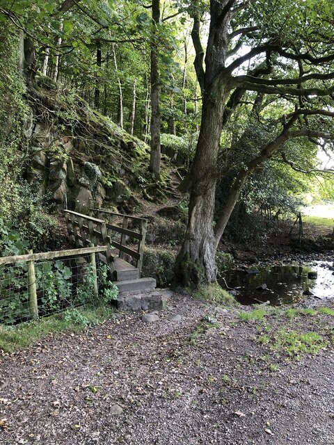
Covering an expansive area, Gorse Covert is characterized by its dense forest of mixed woodland, predominantly consisting of oak, birch, and beech trees. These majestic trees create a lush canopy overhead, providing shade and shelter for the diverse array of flora and fauna that call the area home. The woodland floor is adorned with vibrant wildflowers, adding bursts of color to the serene environment.
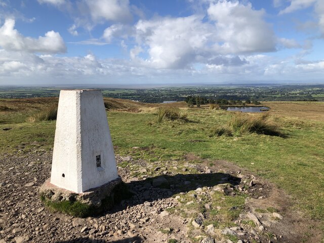
Visitors to Gorse Covert can enjoy a variety of recreational activities. There are numerous walking trails and paths that wind through the woodland, allowing visitors to explore and immerse themselves in the natural beauty of the area. Wildlife enthusiasts will be delighted by the presence of numerous bird species, including woodpeckers, owls, and various songbirds. In addition, the woodland is also home to a variety of small mammals, such as squirrels and foxes.
Gorse Covert offers a tranquil escape for individuals seeking solace in nature. The peaceful ambiance and breathtaking scenery make it an ideal location for picnics, photography, or simply enjoying a leisurely stroll. With its convenient location and abundant natural beauty, Gorse Covert is a hidden gem in Lancashire, attracting visitors from near and far.
If you have any feedback on the listing, please let us know in the comments section below.
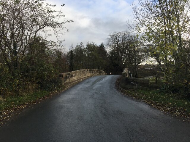
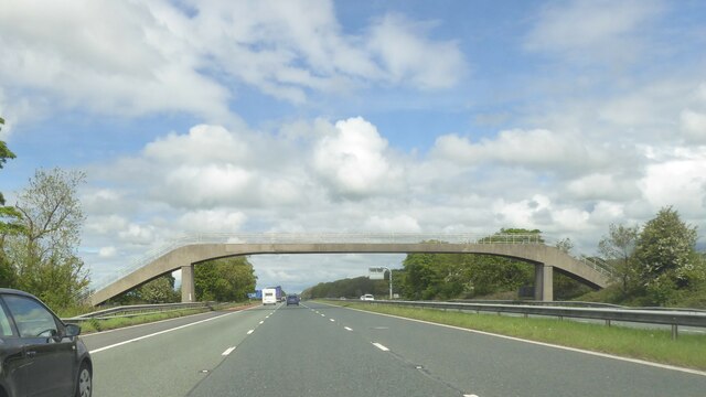
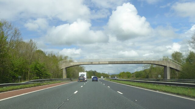
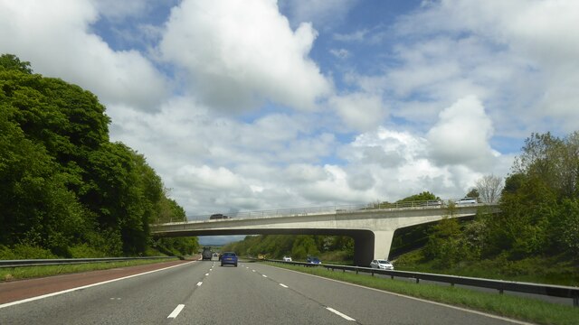
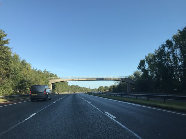
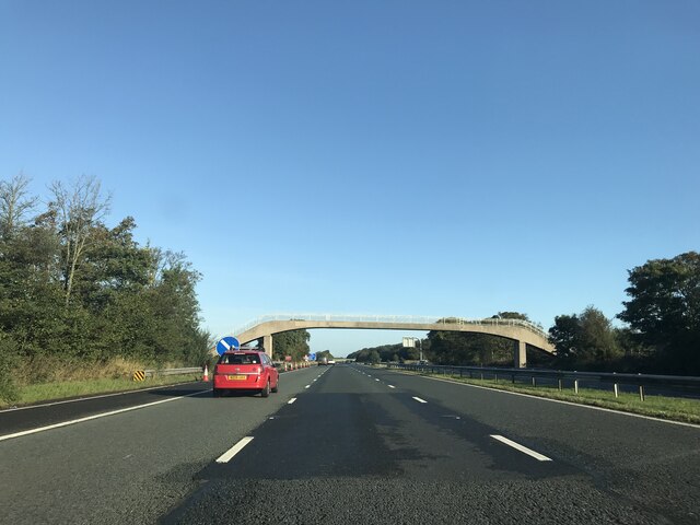
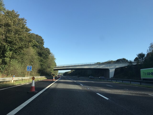
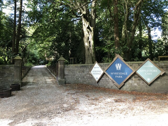
Gorse Covert Images
Images are sourced within 2km of 53.917504/-2.7435334 or Grid Reference SD5147. Thanks to Geograph Open Source API. All images are credited.


Gorse Covert is located at Grid Ref: SD5147 (Lat: 53.917504, Lng: -2.7435334)
Administrative County: Lancashire
District: Wyre
Police Authority: Lancashire
What 3 Words
///quilt.civil.memo. Near Garstang, Lancashire
Nearby Locations
Related Wikis

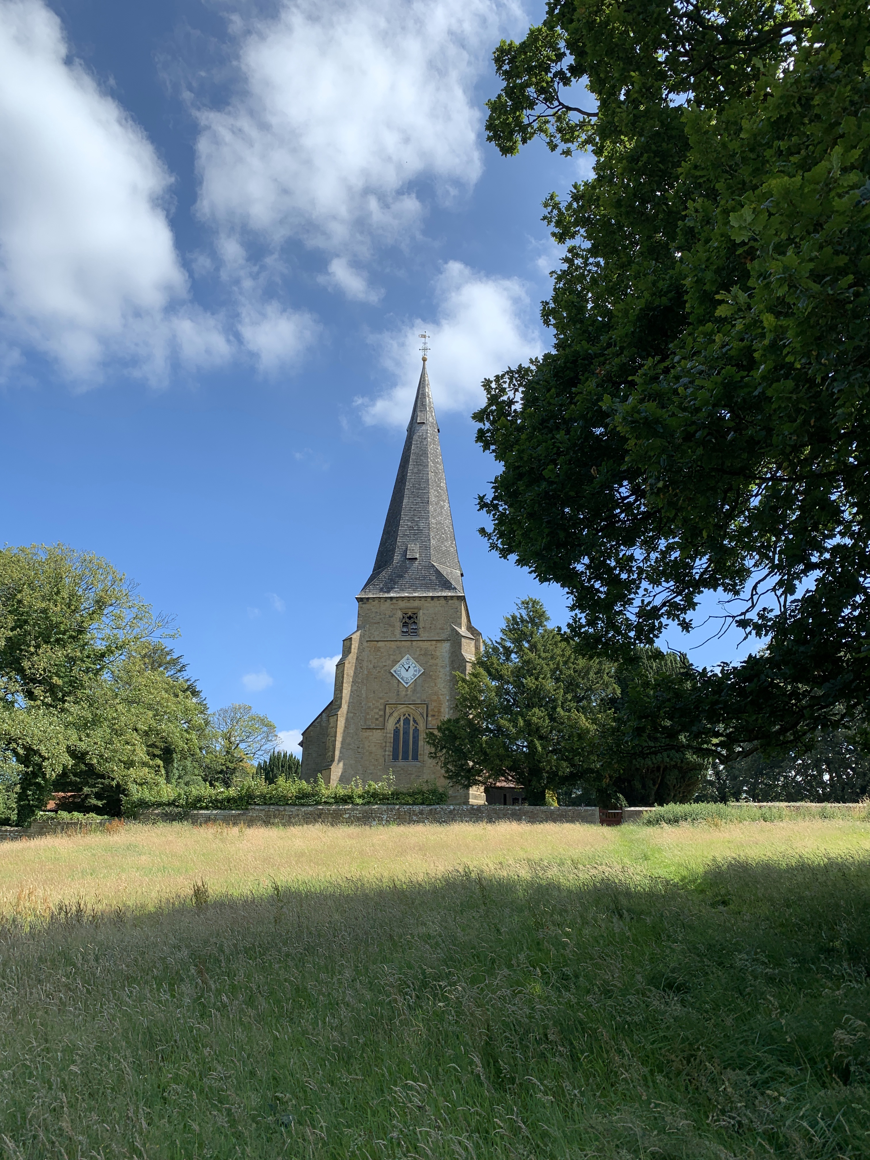
All Saints Church, Barnacre
All Saints Church is in Delph Lane, Barnacre-with-Bonds, Lancashire, England. It is an active Anglican parish church in the deanery of Garstang, the archdeaconry...

Barnacre-with-Bonds
Barnacre-with-Bonds is a civil parish in the Wyre district of Lancashire, England. According to the 2001 census it had a population of 1,751 increasing...

St Peter's Church, Scorton
St Peter's Church is in the village of Scorton, Lancashire, England. It is an active Anglican parish church in the deanery of Garstang, the archdeaconry...
Scorton, Lancashire
Scorton is a small village near the River Wyre, in the Wyre district of Lancashire, England. It is located north of Garstang. The name means "farmstead...
Nearby Amenities
Located within 500m of 53.917504,-2.7435334Have you been to Gorse Covert?
Leave your review of Gorse Covert below (or comments, questions and feedback).