Pasture Wood
Wood, Forest in Lancashire Wyre
England
Pasture Wood
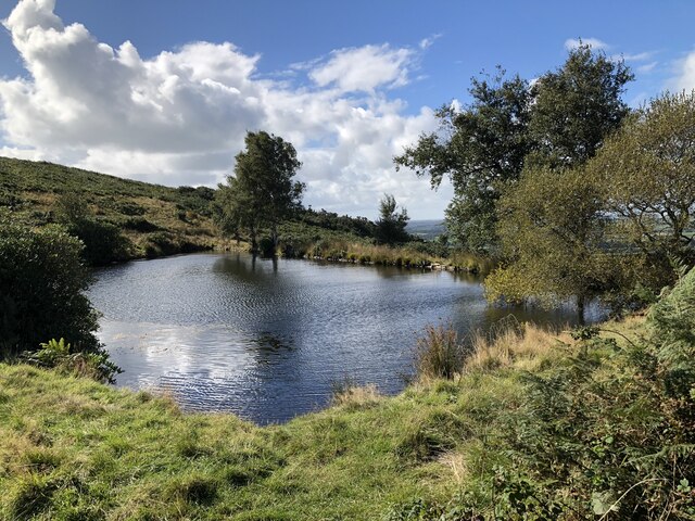
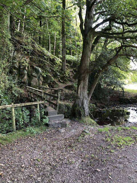
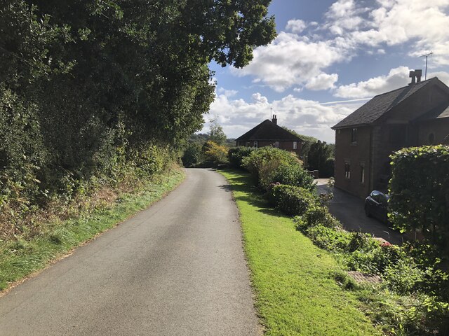
Pasture Wood is a charming woodland located in the county of Lancashire, England. Spanning over a vast area, it is a prominent natural feature that offers a peaceful and serene environment for visitors to enjoy.
The wood is predominantly made up of various species of trees, including oak, beech, and birch, which create a diverse and visually appealing landscape. The dense canopy provides ample shade during the summer months and a colorful spectacle during autumn when the leaves change their hues.
Pasture Wood is home to a wide array of wildlife, making it a popular spot for nature enthusiasts and bird watchers. Visitors may spot common woodland creatures such as squirrels, rabbits, and deer, as well as an abundance of bird species including woodpeckers, owls, and thrushes.
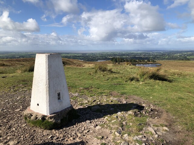
A network of well-maintained walking trails wind through the wood, allowing visitors to explore its beauty at their own pace. These trails are suitable for all ages and fitness levels, making it an ideal destination for families and individuals seeking a leisurely stroll or a more challenging hike.
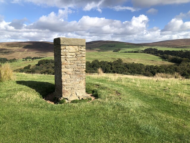
For those interested in the history of the area, Pasture Wood has a rich past. It is believed that the wood has been in existence for centuries and has witnessed various historical events unfold. Remnants of old structures and artifacts can still be found within the wood, adding to its allure and intrigue.
Overall, Pasture Wood is a picturesque and serene woodland that offers a wealth of natural beauty, wildlife, and historical significance. It is a perfect destination for those seeking an escape from the bustle of city life and a chance to immerse themselves in nature's wonders.
If you have any feedback on the listing, please let us know in the comments section below.
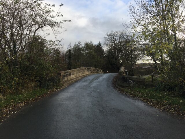
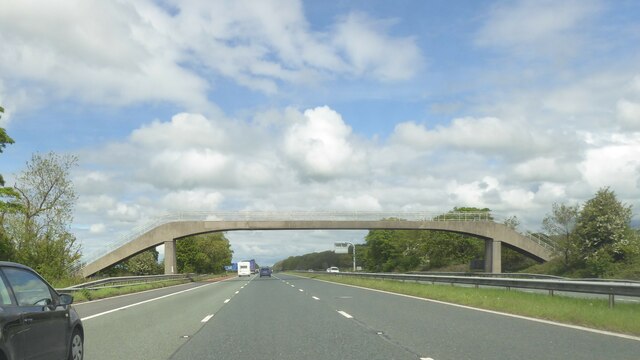
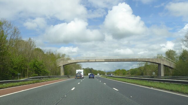
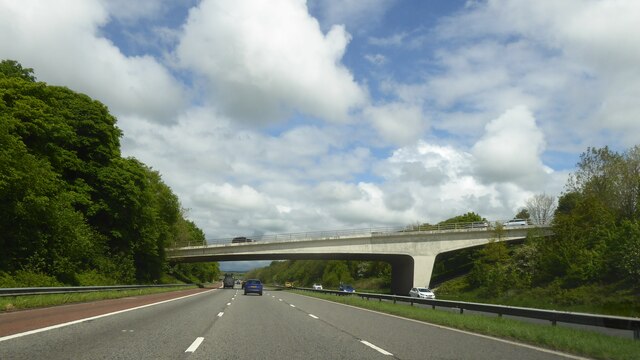
Pasture Wood Images
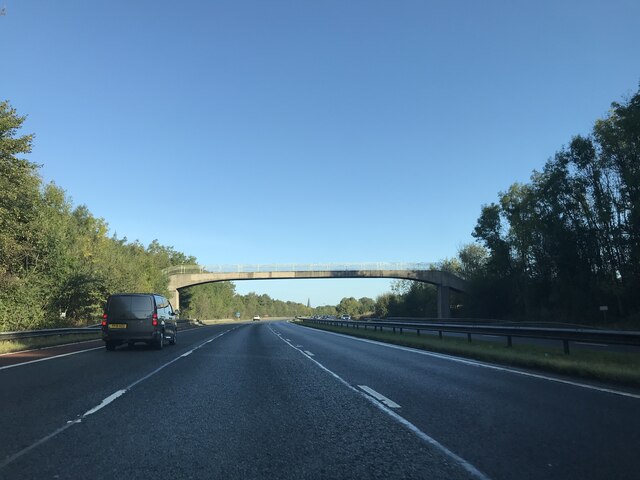
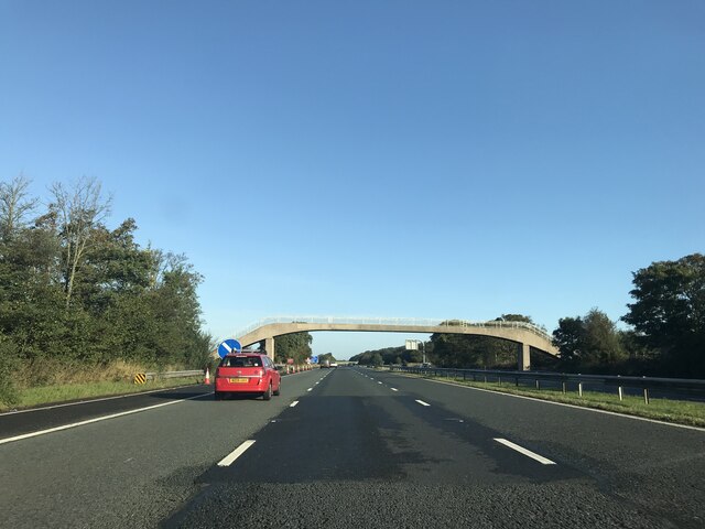
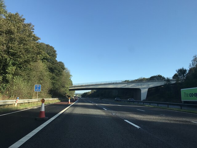
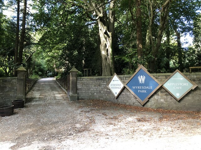
Images are sourced within 2km of 53.919006/-2.7447629 or Grid Reference SD5147. Thanks to Geograph Open Source API. All images are credited.


Pasture Wood is located at Grid Ref: SD5147 (Lat: 53.919006, Lng: -2.7447629)
Administrative County: Lancashire
District: Wyre
Police Authority: Lancashire
What 3 Words
///often.twigs.dozens. Near Garstang, Lancashire
Nearby Locations
Related Wikis

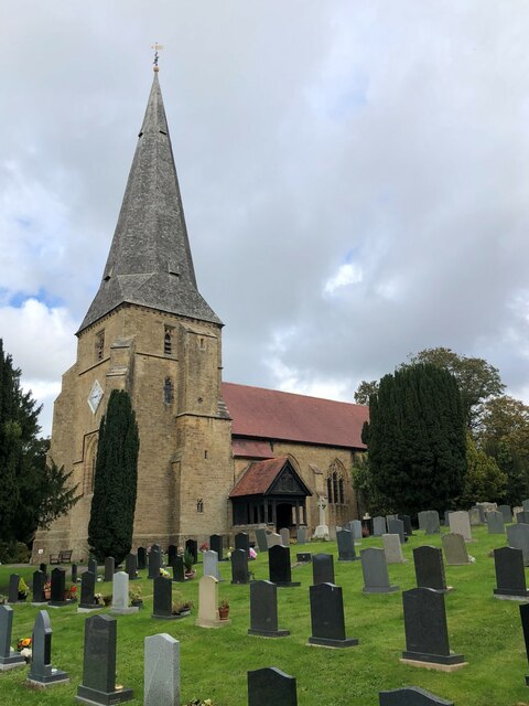
All Saints Church, Barnacre
All Saints Church is in Delph Lane, Barnacre-with-Bonds, Lancashire, England. It is an active Anglican parish church in the deanery of Garstang, the archdeaconry...

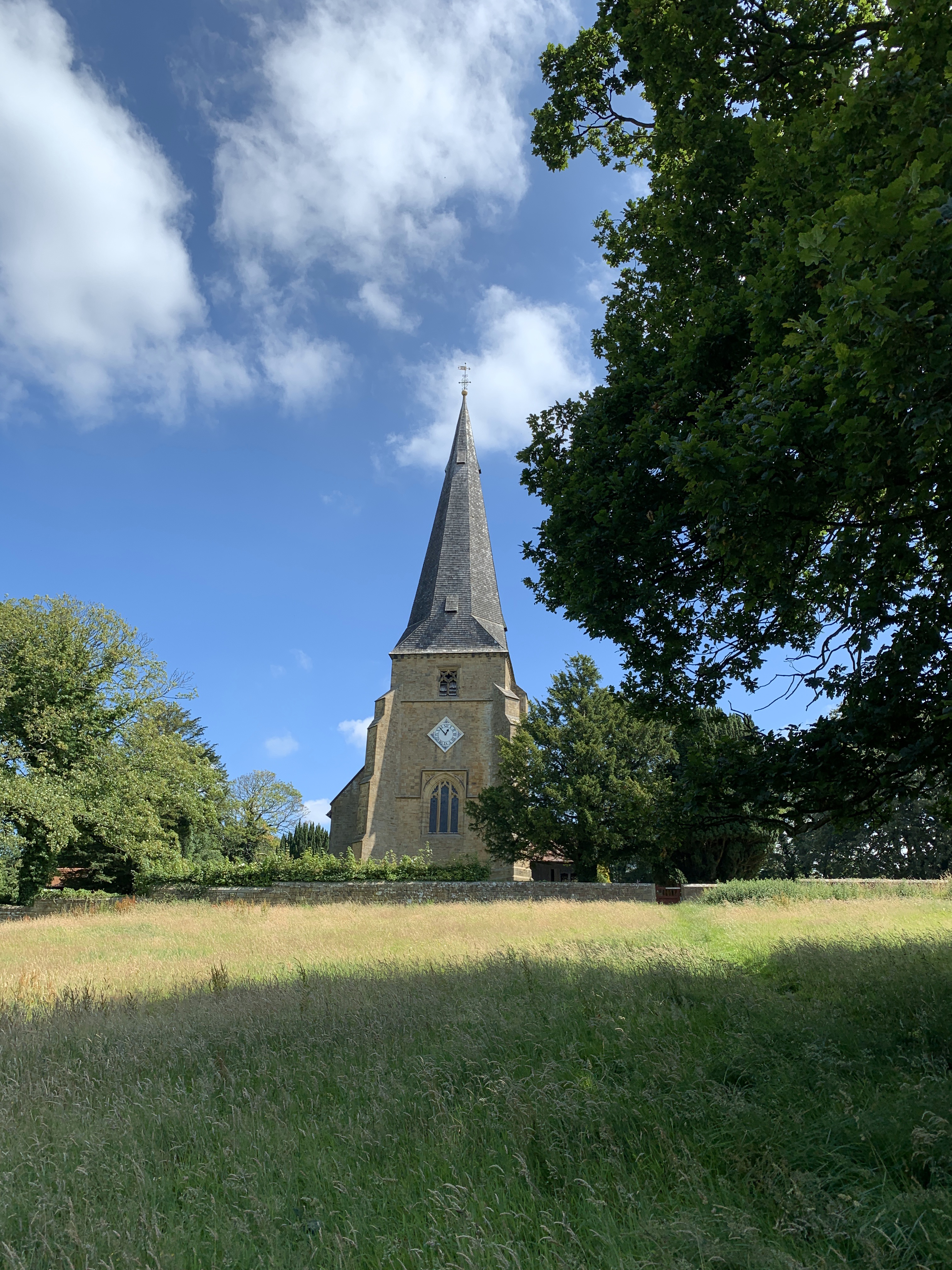
St Peter's Church, Scorton
St Peter's Church is in the village of Scorton, Lancashire, England. It is an active Anglican parish church in the deanery of Garstang, the archdeaconry...

Barnacre-with-Bonds
Barnacre-with-Bonds is a civil parish in the Wyre district of Lancashire, England. According to the 2001 census it had a population of 1,751 increasing...
Scorton, Lancashire
Scorton is a small village near the River Wyre, in the Wyre district of Lancashire, England. It is located north of Garstang. The name means "farmstead...
Nearby Amenities
Located within 500m of 53.919006,-2.7447629Have you been to Pasture Wood?
Leave your review of Pasture Wood below (or comments, questions and feedback).