Todd Fell
Hill, Mountain in Westmorland South Lakeland
England
Todd Fell
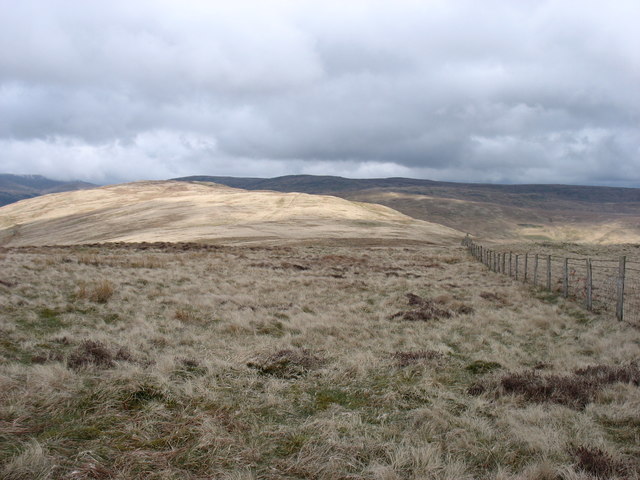
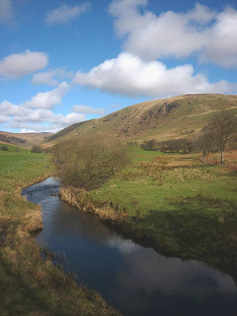
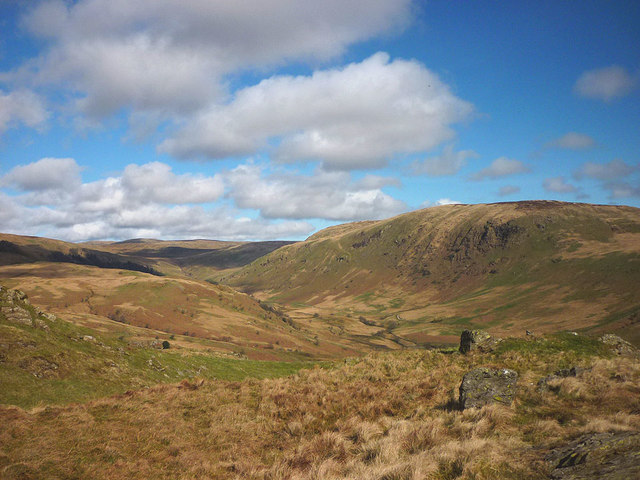
Todd Fell is a prominent hill/mountain located in the county of Westmorland, in the northwestern region of England. Standing at an impressive height of 622 meters (2,041 feet) above sea level, it is a well-known landmark within the picturesque Lake District National Park.
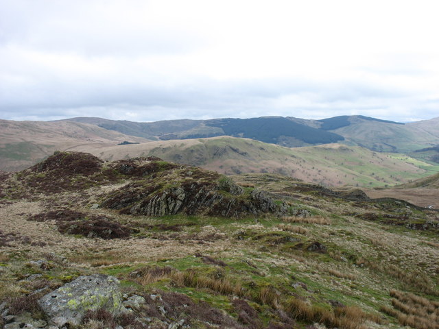
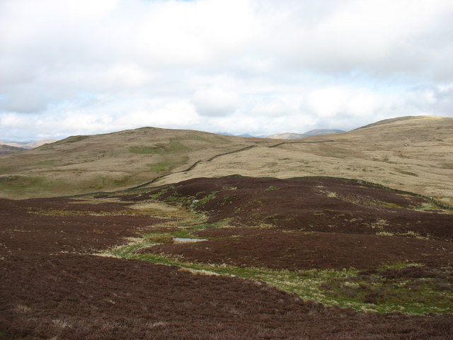
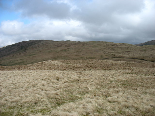
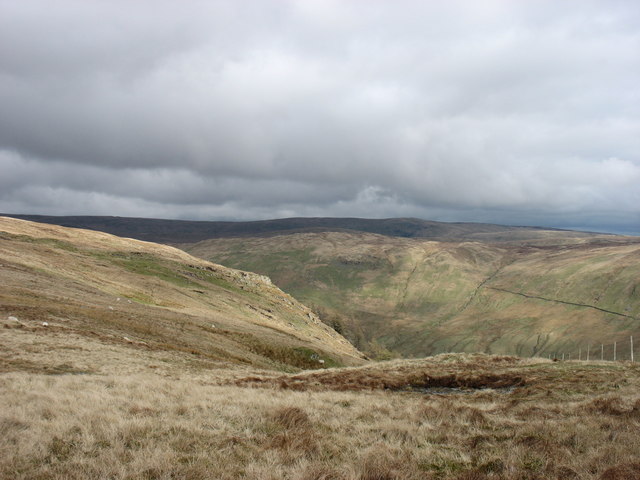
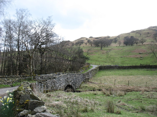
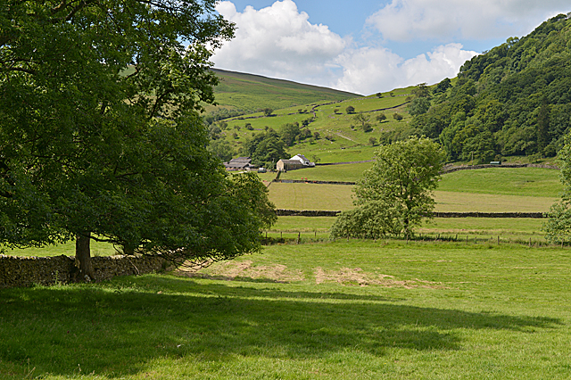
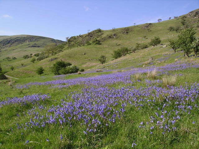
The fell is characterized by its distinctive shape, with a gentle sloping ascent leading to a rounded summit. It is primarily composed of sedimentary rocks, with the lower slopes covered in grassland and heather, while the higher reaches are adorned with rocky outcrops and scree slopes. The vegetation on Todd Fell is rich and diverse, supporting a variety of plant species, including heather, bilberry, and grasses.
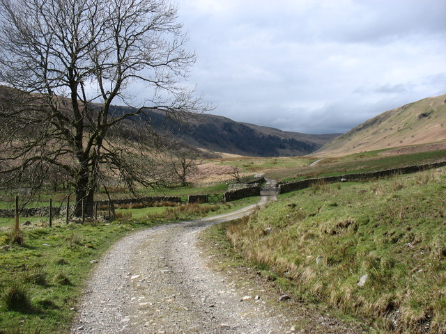
Renowned for its breathtaking views, Todd Fell offers panoramic vistas of the surrounding landscape. On a clear day, one can behold the majestic sight of nearby mountains, including Helvellyn, Skiddaw, and Scafell Pike, the highest peak in England. The fell is a popular destination for hikers and walkers, who can enjoy several well-defined paths leading to the summit. These routes vary in difficulty, catering to both experienced and novice adventurers.
Due to its location within the Lake District National Park, Todd Fell is also home to various wildlife species. Visitors may spot red deer, roe deer, and a variety of birdlife, such as buzzards and kestrels, soaring above.
Overall, Todd Fell is a captivating and accessible hill/mountain, offering a rewarding outdoor experience for nature enthusiasts and providing a glimpse into the stunning natural beauty of Westmorland.
If you have any feedback on the listing, please let us know in the comments section below.
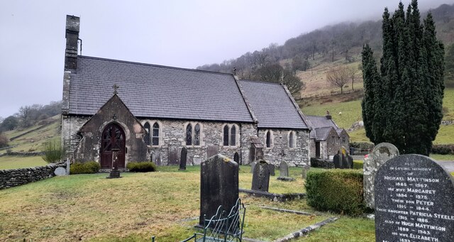
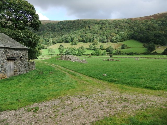
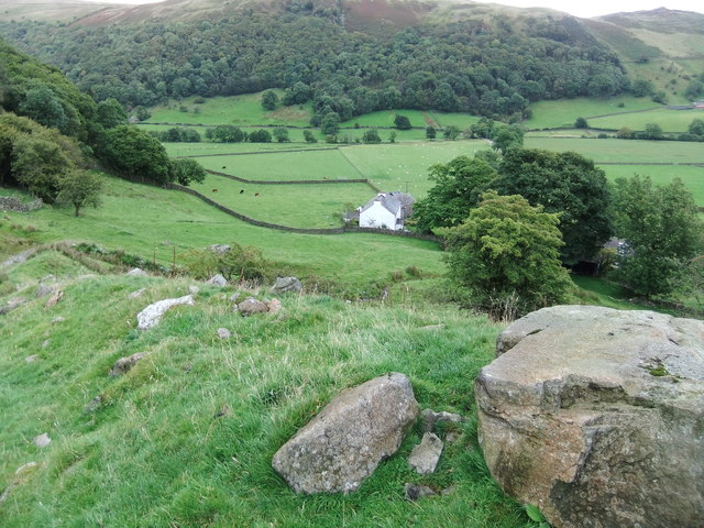
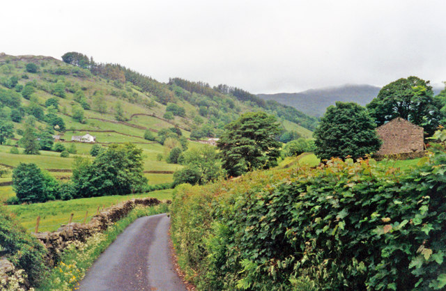
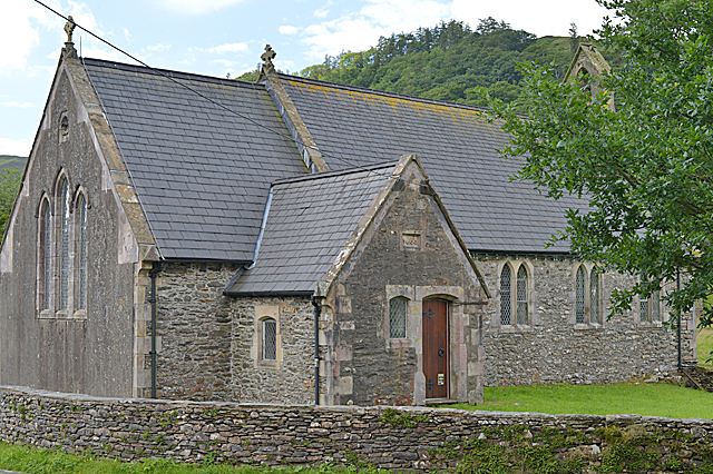
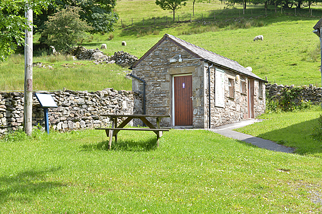
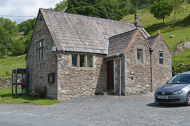
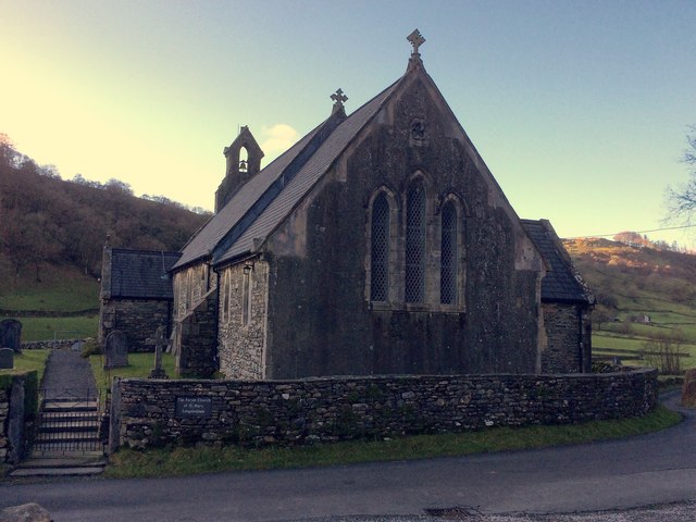
Todd Fell Images
Images are sourced within 2km of 54.411631/-2.7529729 or Grid Reference NY5102. Thanks to Geograph Open Source API. All images are credited.
Todd Fell is located at Grid Ref: NY5102 (Lat: 54.411631, Lng: -2.7529729)
Administrative County: Cumbria
District: South Lakeland
Police Authority: Cumbria
What 3 Words
///monkeys.scrum.reflected. Near Staveley, Cumbria
Nearby Locations
Related Wikis

River Sprint
The River Sprint is a river in Cumbria, England with its source high up on the south-facing side of Harter Fell. It flows into the River Kent just to...

Longsleddale
Longsleddale () is a valley and civil parish in the South Lakeland district of Cumbria, England. It includes the hamlet of Sadgill. The parish has a population...

Bannisdale Horseshoe
The Bannisdale Horseshoe is an upland area in Cumbria, England, near the eastern boundary of the Lake District National Park, surrounding the valley of...

Lowbridge Estate
The Lowbridge Estate is a country estate of approximately 2000 acres in the Lake District region of England that was in the continuous ownership of the...
Fawcett Forest
Fawcett Forest is a former civil parish, now in the parish of Selside and Fawcett Forest, in the South Lakeland district of the English county of Cumbria...

Garnett Bridge
Garnett Bridge is a hamlet in Cumbria, England, on the River Sprint. It is located three miles by foot southeast of Long Sleddale. It consists mainly of...

Potter Fell
Potter Fell is a fell near the villages of Burneside and Staveley, Cumbria, England, reaching a maximum height of 1,400 feet (430 m) at Brunt Knott. Alfred...

Whitwell and Selside
Whitwell and Selside is a former civil parish, now part of the parish of Selside and Fawcett Forest, in the Westmorland and Furness district, in the ceremonial...
Nearby Amenities
Located within 500m of 54.411631,-2.7529729Have you been to Todd Fell?
Leave your review of Todd Fell below (or comments, questions and feedback).