Beacon Hill
Hill, Mountain in Monmouthshire
Wales
Beacon Hill

Beacon Hill is a prominent hill located in the county of Monmouthshire, Wales. It is situated in the southeastern part of the county, near the picturesque town of Monmouth. Standing at an elevation of approximately 350 meters (1148 feet), Beacon Hill offers breathtaking views of the surrounding countryside.
The hill is known for its historical significance, as it was once used as a beacon site during the medieval era. In times of war or danger, fires would be lit on the summit of Beacon Hill to warn nearby settlements and castles of impending threats.
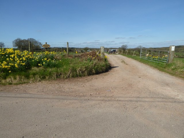
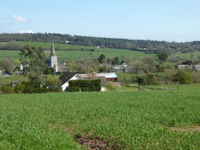
The terrain of Beacon Hill is characterized by rolling hills, lush green pastures, and dense woodland. The hill is rich in biodiversity and is home to a variety of flora and fauna, including rare species of wildflowers and birds.
Numerous walking trails and footpaths traverse the hill, making it a popular destination for outdoor enthusiasts and nature lovers. Hikers and walkers can explore the stunning landscapes, enjoying the peaceful atmosphere and the stunning panoramas that unfold at the summit.
Beacon Hill is also an ideal spot for picnics and outdoor activities. Its vast open spaces provide ample room for families and friends to gather and enjoy a day out in nature. Additionally, the hill is a great location for stargazing, as its elevated position offers clear views of the night sky.
Overall, Beacon Hill is a remarkable natural landmark in Monmouthshire, offering visitors a chance to immerse themselves in the beauty of the Welsh countryside while experiencing its rich historical heritage.
If you have any feedback on the listing, please let us know in the comments section below.
Beacon Hill Images
Images are sourced within 2km of 51.744948/-2.7079892 or Grid Reference SO5105. Thanks to Geograph Open Source API. All images are credited.


Beacon Hill is located at Grid Ref: SO5105 (Lat: 51.744948, Lng: -2.7079892)
Unitary Authority: Monmouthshire
Police Authority: Gwent
What 3 Words
///smashes.dreading.total. Near Mitchel Troy, Monmouthshire
Nearby Locations
Related Wikis
Beacon Hill, Monmouthshire
Beacon Hill is the highest hill in eastern Monmouthshire, South Wales. It is located 0.6 miles (0.97 km) due east of the village of Trellech, and 1 mile...

Trellech United
Trellech United is a community and electoral ward in the county of Monmouthshire, Wales. It lies south of the county town of Monmouth next to the Wales...

Maryland, Monmouthshire
Maryland, Monmouthshire is a small village in Monmouthshire, south east Wales, United Kingdom. == Location == Maryland is located six miles south east...
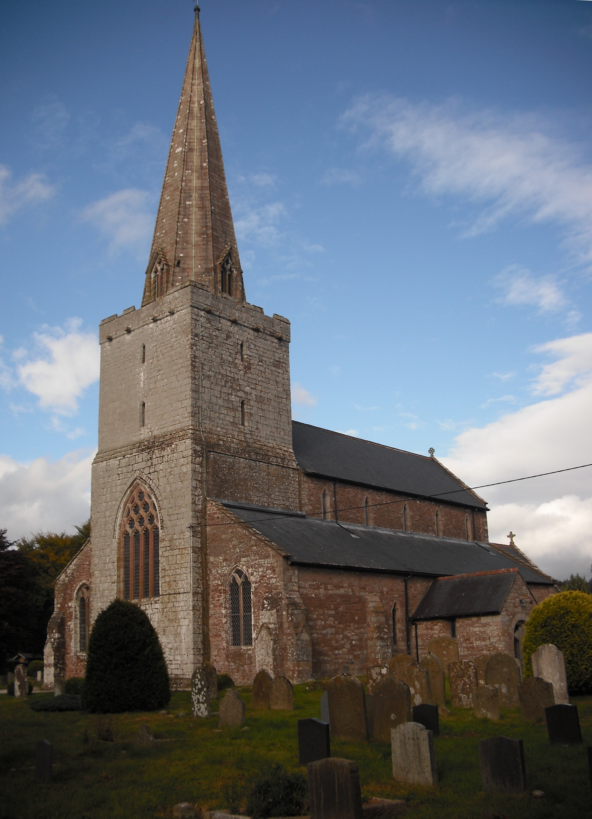
Church of St Nicholas, Trellech
The Church of St Nicholas, Trellech, Monmouthshire is a parish church with its origins in the 14th century. The historical and architectural evidence suggests...

Trellech
Trellech (occasionally spelt Trelech, Treleck or Trelleck; Welsh: Tryleg) is a village and parish in Monmouthshire, south-east Wales. Located 5 miles...

Cleddon Hall
Cleddon Hall, formerly known as Ravenscroft, is a 19th-century Victorian country house in Trellech, Monmouthshire, Wales. In the later 19th century it...

Cleddon Bog
Cleddon Bog (grid reference SO509039) is a bog in the vice-county of Monmouthshire which has been notified as a biological Site of Special Scientific Interest...

The Narth
The Narth (Welsh: Pennarth) is a village in Monmouthshire, Wales. It is located about 6 miles (9.7 km) south of Monmouth, and about 2 miles (3.2 km) east...
Nearby Amenities
Located within 500m of 51.744948,-2.7079892Have you been to Beacon Hill?
Leave your review of Beacon Hill below (or comments, questions and feedback).