Plumpton Head

Hill, Mountain in Cumberland Eden

England

Plumpton Head

River Pettril road bridge. A lot of surface debris has caught up in the fence across this normally placid river.
River Pettril road bridge. Credit: John Holmes

Plumpton Head, located in the beautiful county of Cumberland in northwest England, is a prominent hill/mountain that stands at an elevation of approximately 1,764 feet (537 meters) above sea level. Situated within the Lake District National Park, this natural landmark offers breathtaking panoramic views of the surrounding picturesque countryside.

Plumpton Head is characterized by its distinctive shape, with a gradual ascent that leads to a summit adorned with craggy rocks and lush greenery. The hill/mountain is predominantly composed of sedimentary rocks, such as sandstone and shale, which have been shaped by millions of years of geological processes.

The area surrounding Plumpton Head is a haven for outdoor enthusiasts and nature lovers. Numerous walking trails and hiking routes traverse the hill/mountain, allowing visitors to explore its diverse flora and fauna. The hill/mountain is home to a variety of plant species, including heather, bilberry, and a wide array of grasses. It also provides a habitat for several bird species, such as the curlew, skylark, and peregrine falcon.

Plumpton Head holds historical significance as well, with evidence of human activity dating back to ancient times. Archaeological remnants, including stone circles and burial mounds, have been discovered in the vicinity, hinting at the hill/mountain's importance in past communities.

Overall, Plumpton Head stands as an enchanting natural landmark in Cumberland, offering visitors a chance to immerse themselves in the region's captivating beauty, explore its rich history, and revel in the tranquility of its surroundings.

If you have any feedback on the listing, please let us know in the comments section below.

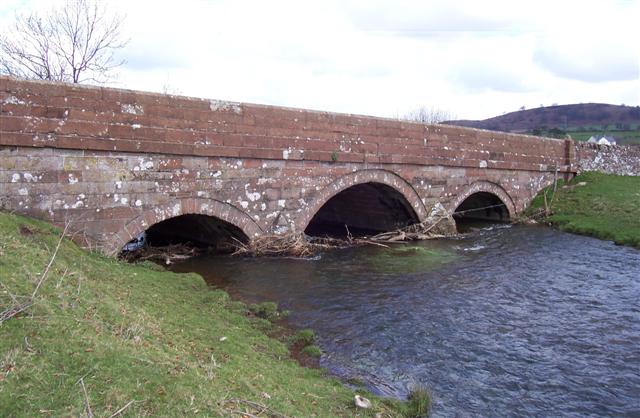
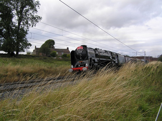
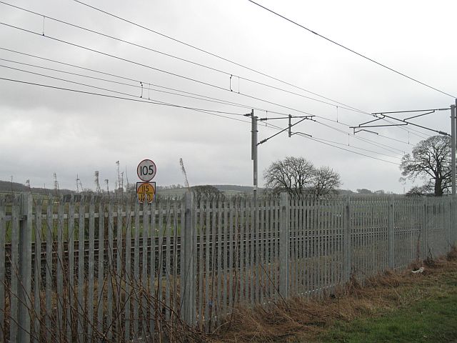
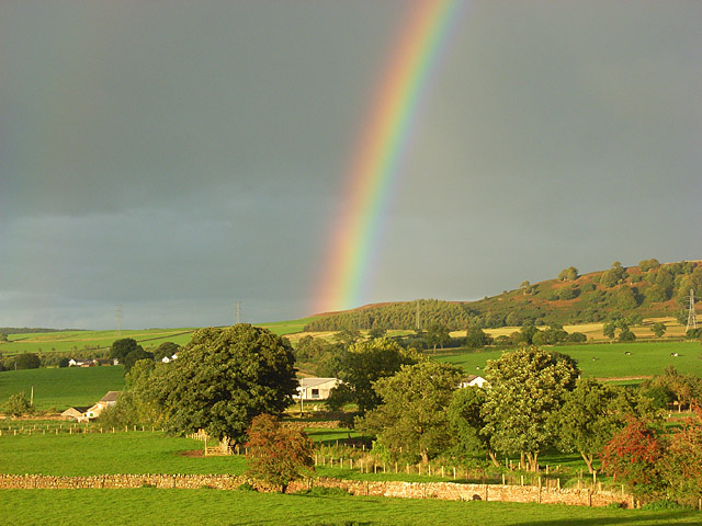
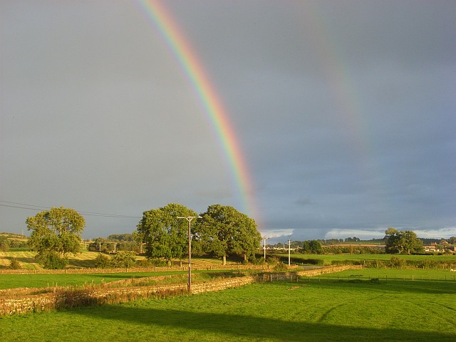
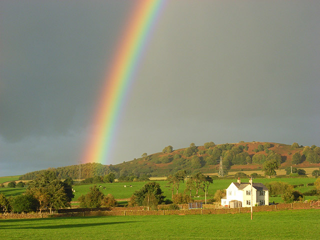
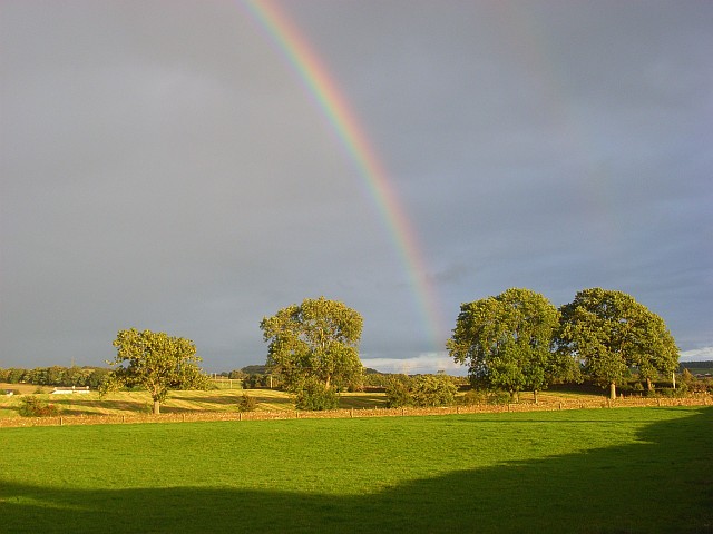
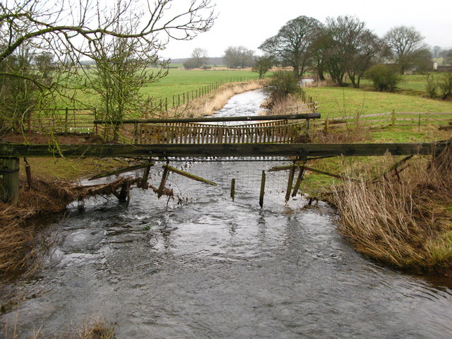
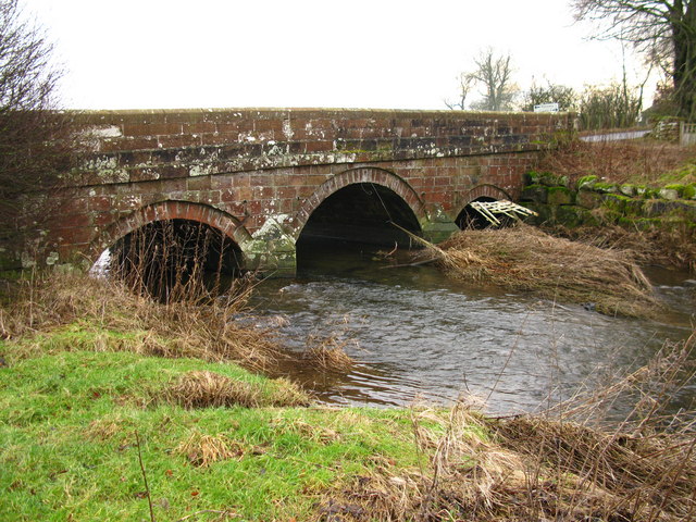
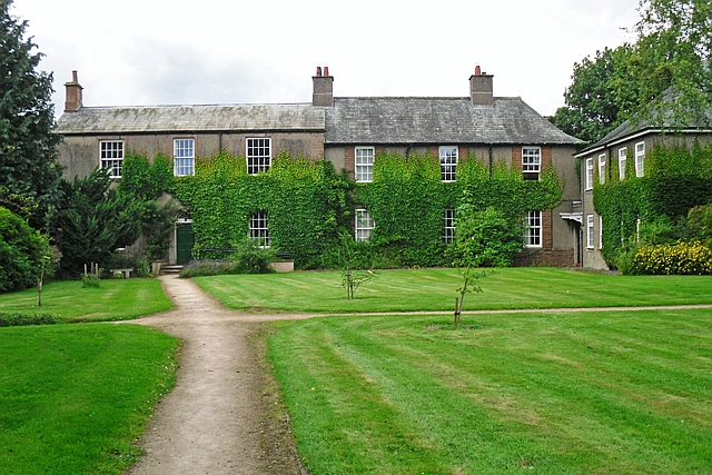
Plumpton Head Images

Images are sourced within 2km of 54.711189/-2.758437 or Grid Reference NY5135. Thanks to Geograph Open Source API. All images are credited.

River Pettril road bridge. A lot of surface debris has caught up in the fence across this normally placid river.
River Pettril road bridge.
A lot of surface debris has caught up in the fence across this normally placid river.
West coast main line at Kitchenhill Duke of Gloucester South bound hauling steam special. Kitchenhill cottages in background
West coast main line at Kitchenhill
Duke of Gloucester South bound hauling steam special. Kitchenhill cottages in background
Speed limits, West Coast Mainline Behind the new fencing, some speed limits on the Glasgow - London railway. Presumably still in miles per hour.
Speed limits, West Coast Mainline
Behind the new fencing, some speed limits on the Glasgow - London railway. Presumably still in miles per hour.
Pastures in the Petteril valley near Penrith The view from the railway bridge at Kitchenhill. Buildings at Holme Head can be seen though the trees.
Pastures in the Petteril valley near Penrith
The view from the railway bridge at Kitchenhill. Buildings at Holme Head can be seen though the trees.
Pastures near Penrith Looking towards the nearby crossroads from Kitchenhill Bridge.
Pastures near Penrith
Looking towards the nearby crossroads from Kitchenhill Bridge.
Rainbow over the Petteril valley The house is called Heatherlea and stands on the edge of the grid-square near Holme Head. The high ground rises towards Wan Fell on the ridge that separates the Eden and Petteril valleys.
Rainbow over the Petteril valley
The house is called Heatherlea and stands on the edge of the grid-square near Holme Head. The high ground rises towards Wan Fell on the ridge that separates the Eden and Petteril valleys.
Pastures near Penrith The trees are on the road south of Plumpton Head and viewed from the road just east of Kitchenhill Bridge.
Pastures near Penrith
The trees are on the road south of Plumpton Head and viewed from the road just east of Kitchenhill Bridge.
River Petteril View downstream from Kitchenhill Bridge.
River Petteril
View downstream from Kitchenhill Bridge.
Kitchenhill Bridge Downstream view from the banks of the River Petteril.
Kitchenhill Bridge
Downstream view from the banks of the River Petteril.
Dairy pasture south of Plumpton This is the shallow valley of the Petteril just west of the A6.
Dairy pasture south of Plumpton
This is the shallow valley of the Petteril just west of the A6.
Harvested barley crop near Plumpton Hall Looking south-west towards approaching rainclouds.
Harvested barley crop near Plumpton Hall
Looking south-west towards approaching rainclouds.
Track junction at Boggle Hall
Beck in field on west side of A6 south of Plumpton
Sheep in field NE of Plumpton Hall
Benchmark on Plumpton Old Hall farmhouse Ordnance Survey flush bracket (serial number 1416) benchmark levelled at 140.705m above Newlyn Datum in 1953 and verified in 1969. See <span class="nowrap"><a title="www.bench-marks.org.uk/bm2426" rel="nofollow ugc noopener" href="http://www.bench-marks.org.uk/bm2426">Link</a><img style="margin-left:2px;" alt="External link" title="External link - shift click to open in new window" src="https://s1.geograph.org.uk/img/external.png" width="10" height="10"/></span>
Benchmark on Plumpton Old Hall farmhouse
Ordnance Survey flush bracket (serial number 1416) benchmark levelled at 140.705m above Newlyn Datum in 1953 and verified in 1969. See LinkExternal link
Farmhouse at Plumpton Old Hall There is an Ordnance Survey benchmark <a href="https://www.geograph.org.uk/photo/7069240">NY4936 : Benchmark on Plumpton Old Hall farmhouse</a> on the right hand side of the house at its back corner
Farmhouse at Plumpton Old Hall
There is an Ordnance Survey benchmark NY4936 : Benchmark on Plumpton Old Hall farmhouse on the right hand side of the house at its back corner
Benchmark on top of Carlisle 14 milestone on east side of A6 opposite Boggle Hall Ordnance Survey rivet benchmark levelled at 146.904m above Newlyn Datum verified 1969. The mark was cut during the 1841-1844 1GL Liverpool to Port Carlisle Survey and levelled at 481.646 feet above Liverpool Datum. The surveyor's description was 'No. 410. Mark on top of the 4th milestone from Penrith ; 4.54 ft. above surface of road'.
See <span class="nowrap"><a title="www.bench-marks.org.uk/bm68650" rel="nofollow ugc noopener" href="http://www.bench-marks.org.uk/bm68650">Link</a><img style="margin-left:2px;" alt="External link" title="External link - shift click to open in new window" src="https://s1.geograph.org.uk/img/external.png" width="10" height="10"/></span>
Benchmark on top of Carlisle 14 milestone on east side of A6 opposite Boggle Hall
Ordnance Survey rivet benchmark levelled at 146.904m above Newlyn Datum verified 1969. The mark was cut during the 1841-1844 1GL Liverpool to Port Carlisle Survey and levelled at 481.646 feet above Liverpool Datum. The surveyor's description was 'No. 410. Mark on top of the 4th milestone from Penrith ; 4.54 ft. above surface of road'. See LinkExternal link
Carlisle 14 Penrith 4 milestone on east side of A6 opposite Boggle Hall There is an Ordnance Survey benchmark <a href="https://www.geograph.org.uk/photo/7070856">NY4936 : Benchmark on top of Carlisle 14 milestone on east side of A6 opposite Boggle Hall</a> on top of the stone which has Milestone Society National ID CU_PRCL04
Carlisle 14 Penrith 4 milestone on east side of A6 opposite Boggle Hall
There is an Ordnance Survey benchmark NY4936 : Benchmark on top of Carlisle 14 milestone on east side of A6 opposite Boggle Hall on top of the stone which has Milestone Society National ID CU_PRCL04
Show me another place!

Plumpton Head is located at Grid Ref: NY5135 (Lat: 54.711189, Lng: -2.758437)

Administrative County: Cumbria

District: Eden

Police Authority: Cumbria

What 3 Words

///hiring.into.runways. Near Penrith, Cumbria

Related Wikis

Plumpton, Cumbria

Plumpton or Plumpton Wall is a small village and former civil parish, in the parish of Hesket, in the Westmorland and Furness district, in the traditional...

Brockleymoor

Brockleymoor was a hamlet in Cumbria, England, but it is now part of the village of Plumpton. It is located several miles north of Penrith, not far from...

Plumpton railway station (Cumbria)

Plumpton railway station in Hesket parish in what is now Cumbria but was then Cumberland in the north west of England, was situated on the Lancaster and...

Great Salkeld

Great Salkeld is a small village and civil parish in the Eden District of Cumbria, England, a few miles to the north east of Penrith and bordering the...

Penrith and The Border (UK Parliament constituency)

Penrith and The Border is a constituency in Cumbria represented in the House of Commons of the UK Parliament since 2019 by Neil Hudson, a Conservative...

Penrith Rural District

Penrith was a rural district within the administrative county of Cumberland, England that existed from 1894 to 1974 with slight boundary changes in 1934...

Catterlen

Catterlen is a small village and civil parish 3 miles (4.8 km) north west of Penrith, Cumbria. At the 2001 census the civil parish had a population of...

Newton Rigg College

Newton Rigg College was an agricultural college near Penrith, Cumbria, England, founded in 1896 as the Cumberland and Westmorland Farm School. From 2011...

Nearby Amenities

Located within 500m of 54.711189,-2.758437
Design: three-level
Power: tower
Lat/Long: 54.7118959/-2.765101
The data included in this document is from www.openstreetmap.org. The data is made available under ODbL.

Have you been to Plumpton Head?

Leave your review of Plumpton Head below (or comments, questions and feedback).