Middle Crag
Hill, Mountain in Lancashire Lancaster
England
Middle Crag
Middle Crag is a prominent hill located in the county of Lancashire, England. It is part of the larger Pennine Range, which stretches across the northern part of the country. Rising to an elevation of approximately 400 meters (1,312 feet), Middle Crag offers breathtaking panoramic views of the surrounding countryside.
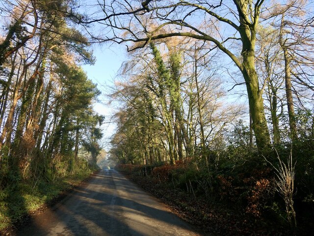
Situated in a rural area, Middle Crag is a popular destination for outdoor enthusiasts, offering a range of activities such as hiking, mountain biking, and birdwatching. The hill is accessible via several well-marked trails that cater to different levels of difficulty, making it suitable for both experienced hikers and beginners.
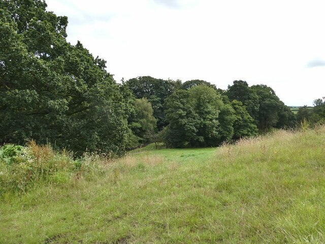
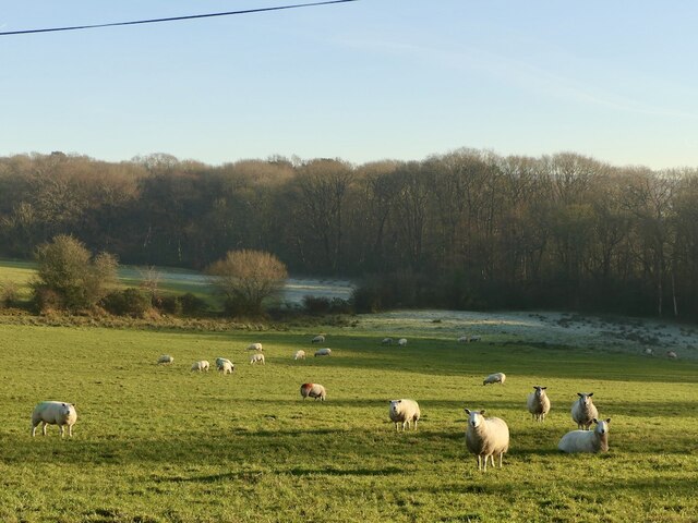
The landscape surrounding Middle Crag is characterized by rolling hills, verdant valleys, and picturesque woodlands. The summit provides an ideal vantage point to appreciate the beauty of the Lancashire countryside, with sweeping vistas that extend for miles in every direction.
Wildlife enthusiasts will be pleased to know that Middle Crag is home to a diverse range of flora and fauna. The hill is known for its abundant birdlife, including species such as kestrels, buzzards, and peregrine falcons. Additionally, the surrounding woodlands are inhabited by deer, rabbits, and various small mammals.
Middle Crag is easily accessible by car, with parking available at the base of the hill. Local amenities, including cafes, restaurants, and accommodation, can be found in nearby villages and towns, providing visitors with a convenient base from which to explore the area.
Overall, Middle Crag offers a wonderful opportunity to immerse oneself in the natural beauty of Lancashire, providing a peaceful and rejuvenating retreat for outdoor enthusiasts and nature lovers alike.
If you have any feedback on the listing, please let us know in the comments section below.
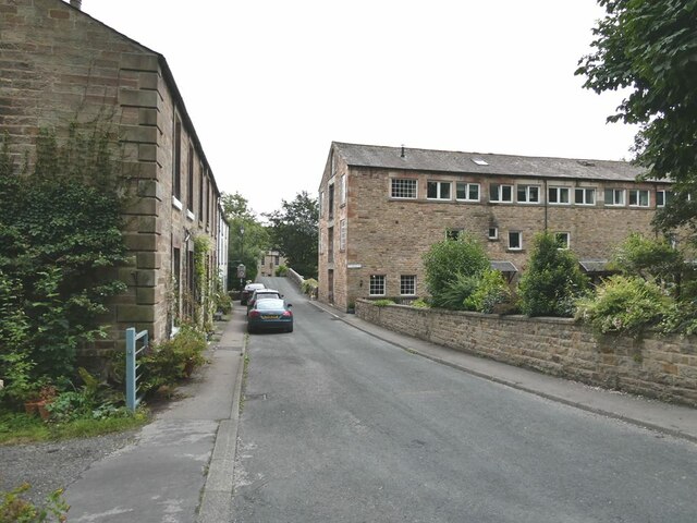
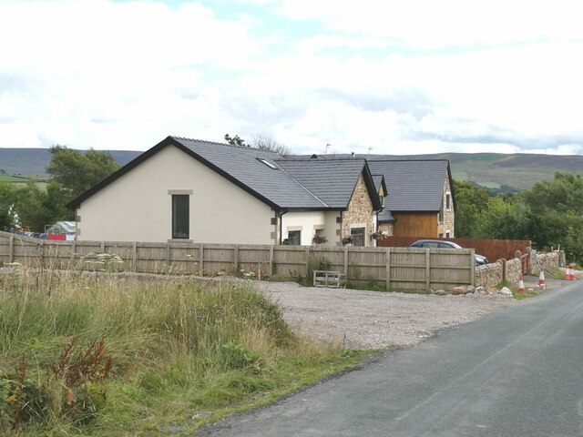
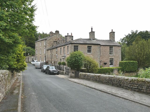
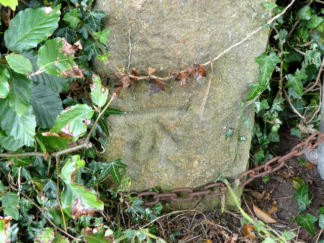
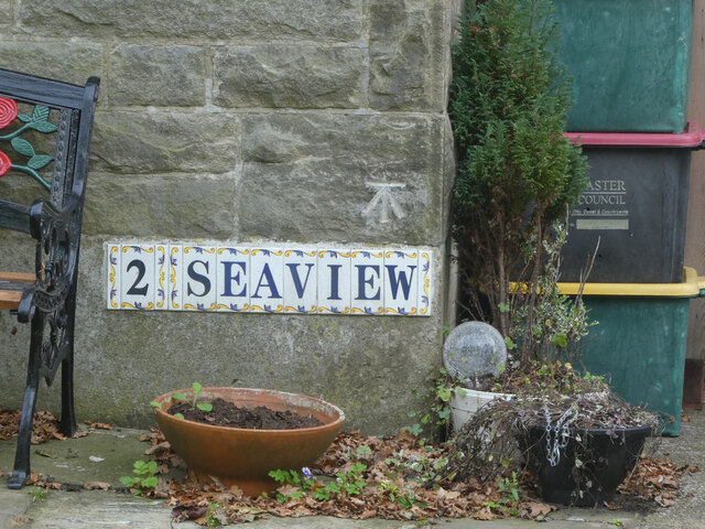
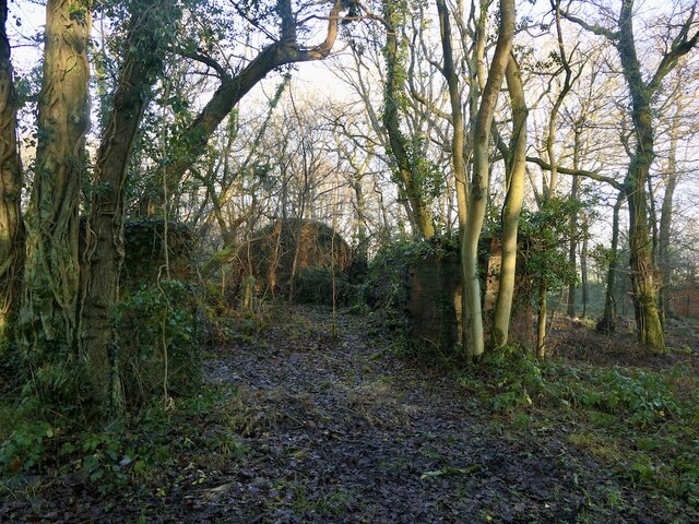
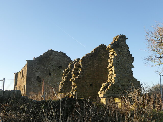
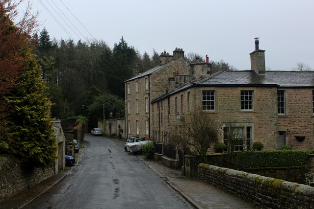
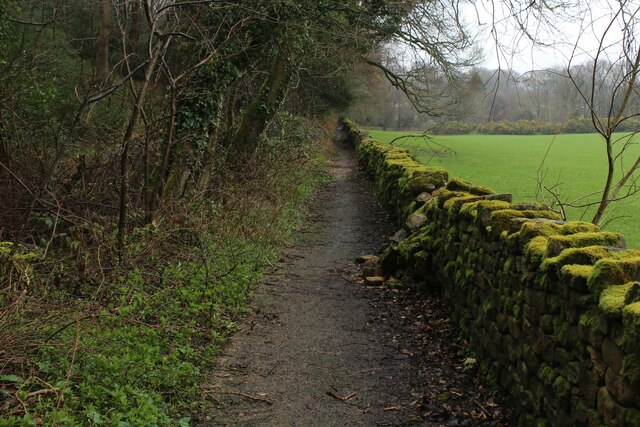
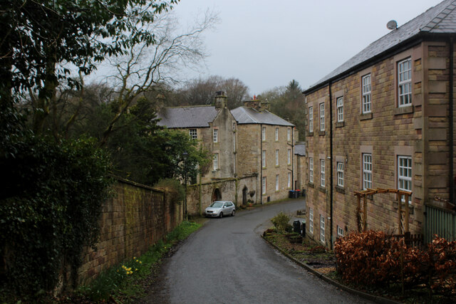
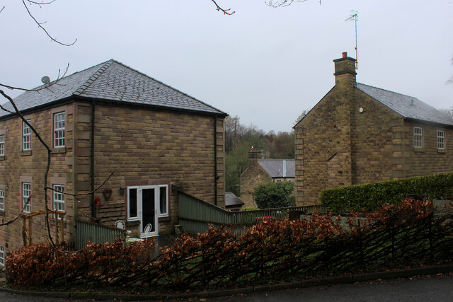
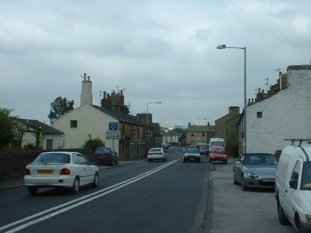
Middle Crag Images
Images are sourced within 2km of 53.987734/-2.745196 or Grid Reference SD5154. Thanks to Geograph Open Source API. All images are credited.


Middle Crag is located at Grid Ref: SD5154 (Lat: 53.987734, Lng: -2.745196)
Administrative County: Lancashire
District: Lancaster
Police Authority: Lancashire
What 3 Words
///darkens.drips.satellite. Near Bay Horse, Lancashire
Nearby Locations
Related Wikis

Wyre (UK Parliament constituency)
Wyre was a parliamentary constituency in the Wyre district of Lancashire. It returned one Member of Parliament (MP) to the House of Commons of the Parliament...

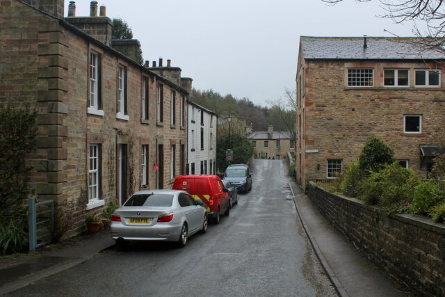
Dolphinholme
Dolphinholme is a historic village in Lancashire, North West England. == History == In the 18th and 19th centuries the village played an important part...
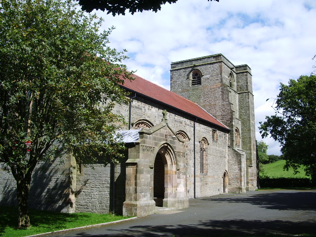
St Mark's Church, Dolphinholme
St Mark's Church is in the village of Dolphinholme, Lancashire, England. It is an active Anglican parish church in the deanery of Lancaster and Morecambe...

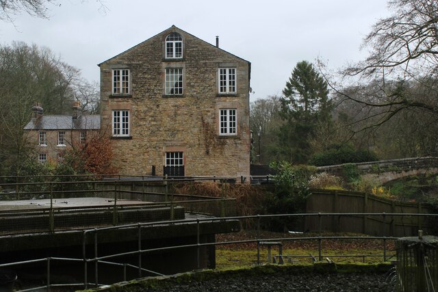
Dolphinholme Worsted Mill
Dolphinholme Worsted Mill is a textile mill located in the village of Dolphinholme, Lancashire. The Worsted Spinning Mill was built in 1795 by Thomas Hinde...
Galgate
Galgate is a village in the City of Lancaster, just south of Lancaster University, and about 3 miles (4.8 km) south of Lancaster itself in the English...

Bay Horse
Bay Horse is a sparsely populated hamlet in the English county of Lancashire. It lies between Lancaster and Preston to the north and south respectively...

Bay Horse railway station
Bay Horse railway station (also known as Bayhorse station) was a rural station in Lancashire, England. It was named after the nearby Bay Horse Inn, and...
St John's Church, Ellel
St John's Church is in Chapel Lane, Ellel, Lancashire, England. It is an active Anglican parish church in the deanery of Lancaster and Morecambe, the archdeaconry...
Nearby Amenities
Located within 500m of 53.987734,-2.745196Have you been to Middle Crag?
Leave your review of Middle Crag below (or comments, questions and feedback).