Wellington Wood

Wood, Forest in Lancashire Lancaster

England

Wellington Wood

OS Bench Mark OS cut bench mark on gatestoop on Hampson Lane. 124.8 feet above old datum. Some gardening was necessary to reveal it.
OS Bench Mark Credit: Phil Johnstone

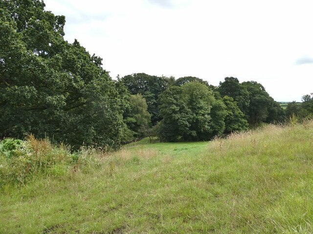
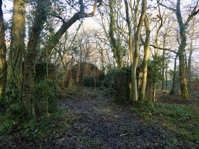
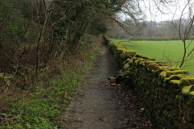
Wellington Wood is a charming forest located in the county of Lancashire, England. Covering an area of approximately 100 acres, it is a haven for nature enthusiasts, hikers, and those seeking a peaceful retreat.

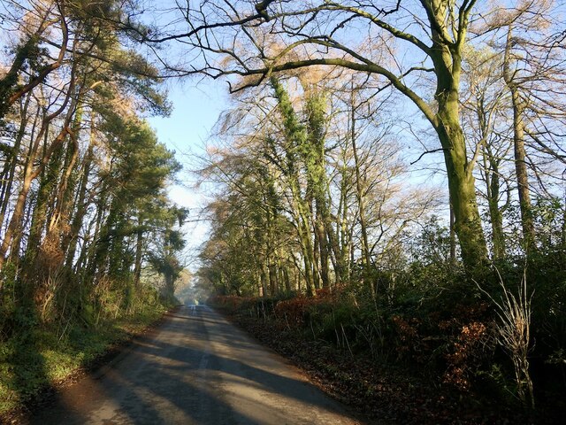
The wood is named after the nearby village of Wellington, and it is easily accessible from the surrounding towns and cities. It is situated on the outskirts of the village, offering a seamless blend of rural tranquility and convenience.

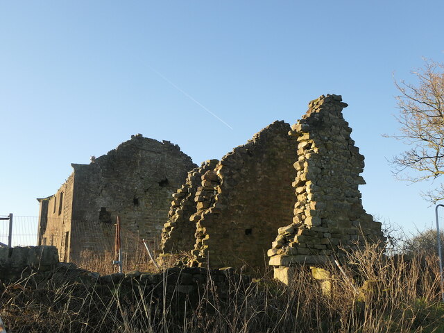
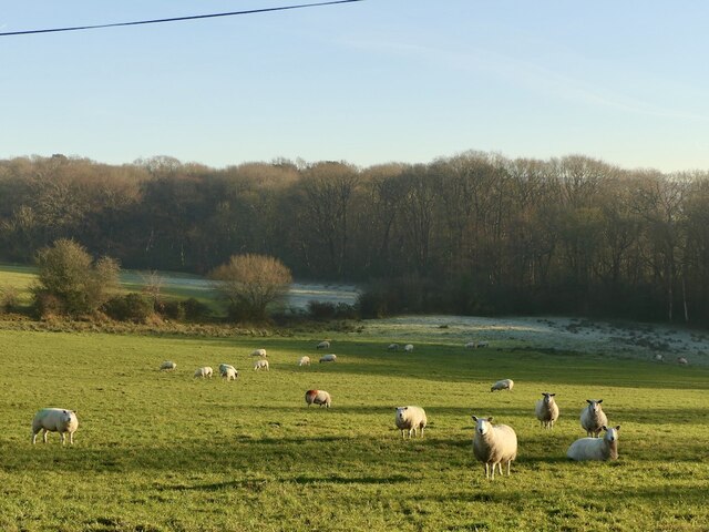
The woodland is predominantly composed of native broadleaf trees, including oak, beech, and birch. These trees create a rich and diverse habitat for a variety of wildlife, making it a popular spot for birdwatching and wildlife photography. Visitors can expect to spot species such as woodpeckers, squirrels, deer, and even rare butterflies.

A network of well-maintained trails crisscrosses the wood, allowing visitors to explore its natural beauty at their own pace. The paths are suitable for all levels of fitness, and there are options for shorter leisurely walks as well as longer hikes.

Wellington Wood also offers picnic areas and benches, inviting visitors to take a break and enjoy the peaceful surroundings. Additionally, there are designated areas for camping and barbecues, making it a great destination for families and groups.

Overall, Wellington Wood is a picturesque forest that offers a serene escape from the hustle and bustle of everyday life. It is an ideal destination for nature lovers and outdoor enthusiasts, providing a range of activities and opportunities to connect with the natural world.

If you have any feedback on the listing, please let us know in the comments section below.

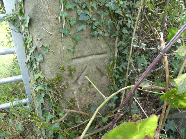
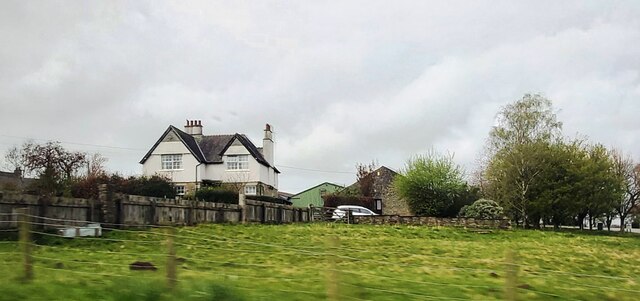
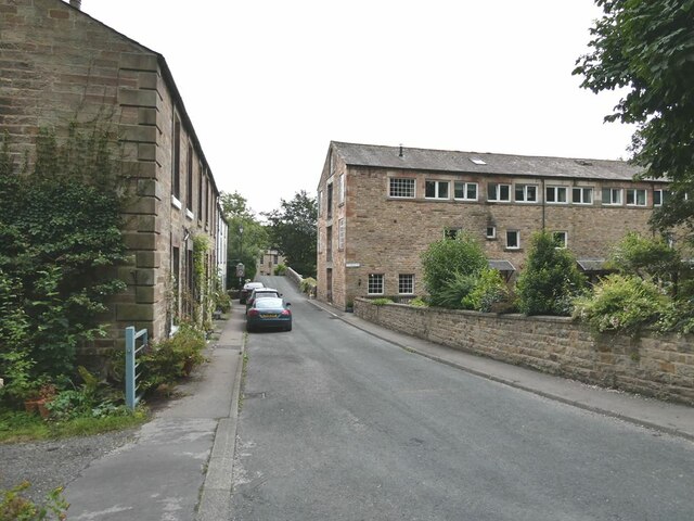
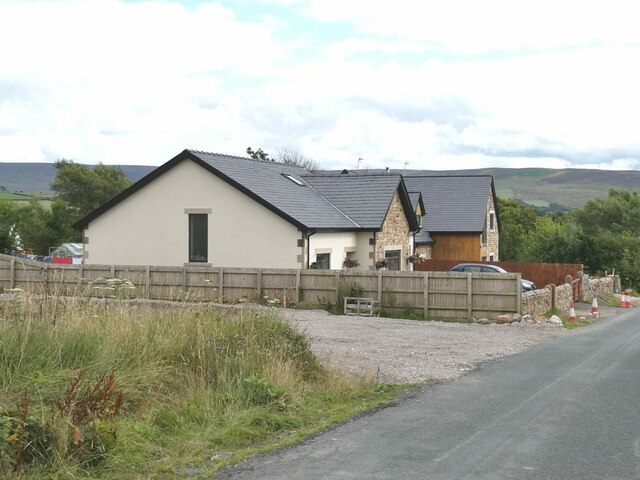
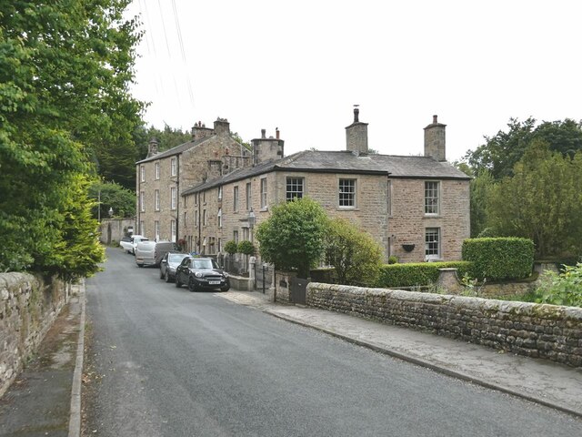
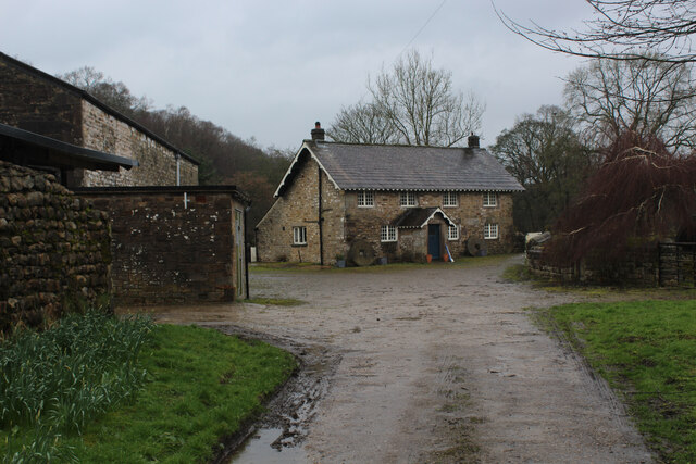
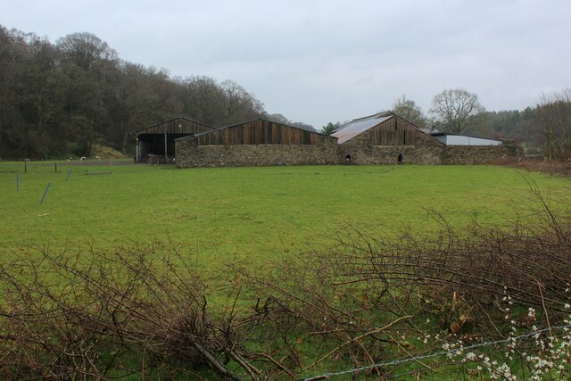
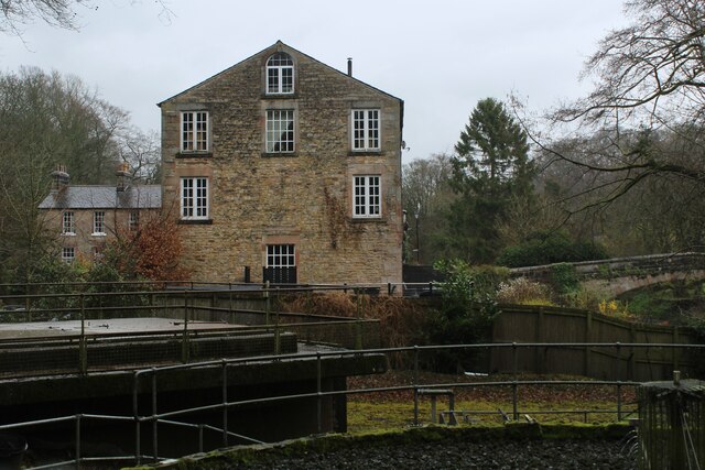
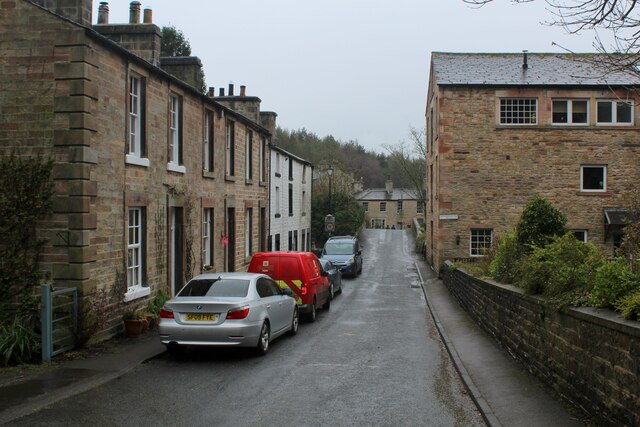
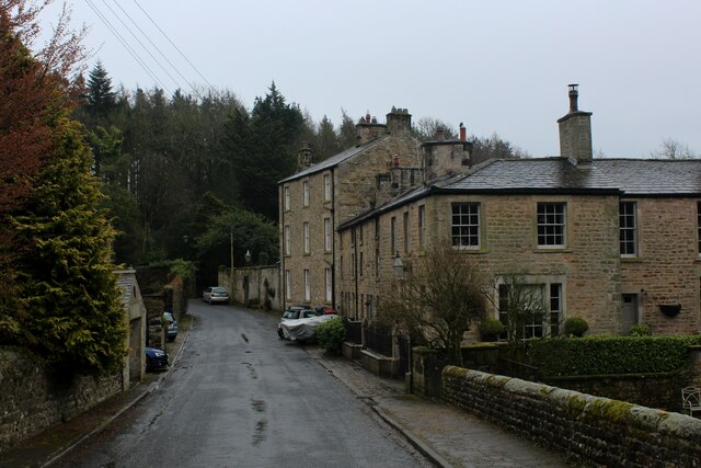
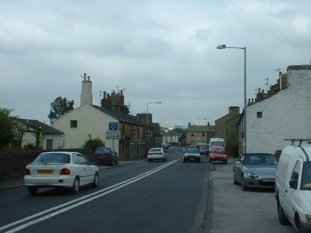
Wellington Wood Images

Images are sourced within 2km of 53.984727/-2.7475671 or Grid Reference SD5154. Thanks to Geograph Open Source API. All images are credited.

OS Bench Mark OS cut bench mark on gatestoop on Hampson Lane. 124.8 feet above old datum. Some gardening was necessary to reveal it.
OS Bench Mark
OS cut bench mark on gatestoop on Hampson Lane. 124.8 feet above old datum. Some gardening was necessary to reveal it.
House at Hampson Green
Lower Dolphinholme The old woollen mill on the right has been converted into apartments where I once attended creative writing classes.
Lower Dolphinholme
The old woollen mill on the right has been converted into apartments where I once attended creative writing classes.
New housing at Dolphinholme On the south side of the village. The moors of the southern half of the Forest of Bowland on the skyline.
New housing at Dolphinholme
On the south side of the village. The moors of the southern half of the Forest of Bowland on the skyline.
Lower Dolphinholme Housing dating from the days when a woollen mill operated at Lower Dolphinholme.
Lower Dolphinholme
Housing dating from the days when a woollen mill operated at Lower Dolphinholme.
Valley of the Damas Gill Wooded valley, tributary of the River Wyre.
Valley of the Damas Gill
Wooded valley, tributary of the River Wyre.
OS Bench Mark OS cut bench mark on gatestoop. 227.5 feet above old datum. Severely weathered.
OS Bench Mark
OS cut bench mark on gatestoop. 227.5 feet above old datum. Severely weathered.
OS Bench Mark OS cut bench mark on house. 66.974 m above datum. The owner obviously recognises its significance!
OS Bench Mark
OS cut bench mark on house. 66.974 m above datum. The owner obviously recognises its significance!
Ammunition store, Swine Hill Wood Some of the bases or hardstanding in this former military site is being used to store round silage bales.
Ammunition store, Swine Hill Wood
Some of the bases or hardstanding in this former military site is being used to store round silage bales.
Ellel Crag Ruin near to an old quarry
Ellel Crag
Ruin near to an old quarry
Field near Wellington Wood
Treelined road, Newland
Coreless Mill House Passed by on the Wyre Way long distance footpath as it continues north towards Dolphinholme
Coreless Mill House
Passed by on the Wyre Way long distance footpath as it continues north towards Dolphinholme
Farm Outbuildings at Coreless Mill Passed by on the Wyre Way long distance footpath
Farm Outbuildings at Coreless Mill
Passed by on the Wyre Way long distance footpath
Approaching Lower Dolphinholme on the Wyre Way Passing a small sewage plant, and an old 18th Century woollen mill, now converted into apartments.
Approaching Lower Dolphinholme on the Wyre Way
Passing a small sewage plant, and an old 18th Century woollen mill, now converted into apartments.
Lower Dolphinholme Adopted by the Wyre Way long distance footpath approaching Dolphinholme Bridge
Lower Dolphinholme
Adopted by the Wyre Way long distance footpath approaching Dolphinholme Bridge
Looking South from Dolphinholme Bridge Road adopted by the Wyre Way long distance footpath
Looking South from Dolphinholme Bridge
Road adopted by the Wyre Way long distance footpath
Wyre Way beside Mill Wood Woodland to one side and a moss covered wall on the other, sees the long distance heading north towards the village of Dolphinholme
Wyre Way beside Mill Wood
Woodland to one side and a moss covered wall on the other, sees the long distance heading north towards the village of Dolphinholme
Show me another place!

Wellington Wood is located at Grid Ref: SD5154 (Lat: 53.984727, Lng: -2.7475671)

Administrative County: Lancashire

District: Lancaster

Police Authority: Lancashire

What 3 Words

///uniforms.spooned.dives. Near Bay Horse, Lancashire

Related Wikis

Wyre (UK Parliament constituency)

Wyre was a parliamentary constituency in the Wyre district of Lancashire. It returned one Member of Parliament (MP) to the House of Commons of the Parliament...

Dolphinholme

Dolphinholme is a historic village in Lancashire, North West England. == History == In the 18th and 19th centuries the village played an important part...

St Mark's Church, Dolphinholme

St Mark's Church is in the village of Dolphinholme, Lancashire, England. It is an active Anglican parish church in the deanery of Lancaster and Morecambe...

Dolphinholme Worsted Mill

Dolphinholme Worsted Mill is a textile mill located in the village of Dolphinholme, Lancashire. The Worsted Spinning Mill was built in 1795 by Thomas Hinde...

Bay Horse

Bay Horse is a sparsely populated hamlet in the English county of Lancashire. It lies between Lancaster and Preston to the north and south respectively...

Bay Horse railway station

Bay Horse railway station (also known as Bayhorse station) was a rural station in Lancashire, England. It was named after the nearby Bay Horse Inn, and...

Galgate

Galgate is a village in the City of Lancaster, just south of Lancaster University, and about 3 miles (4.8 km) south of Lancaster itself in the English...

Galgate railway station

Galgate railway station served the village of Galgate in Lancashire, England. == References ==

Nearby Amenities

Located within 500m of 53.984727,-2.7475671
Barrier: stile
Material: wood
Stile: stepover
Lat/Long: 53.9884913/-2.7497757
Power: pole
Lat/Long: 53.9886414/-2.749225
Power: pole
Lat/Long: 53.9882752/-2.7482208
Power: pole
Lat/Long: 53.9880814/-2.7470972
Power: pole
Lat/Long: 53.9874254/-2.7461734
Power: pole
Lat/Long: 53.9870973/-2.745696
Power: pole
Lat/Long: 53.9867388/-2.7451951
Information: guidepost
Tourism: information
Lat/Long: 53.9864805/-2.74703
The data included in this document is from www.openstreetmap.org. The data is made available under ODbL.

Have you been to Wellington Wood?

Leave your review of Wellington Wood below (or comments, questions and feedback).