Battle Hill

Hill, Mountain in Roxburghshire

Scotland

Battle Hill

Raegill Knowes Quarry Abandoned quarry buildings.
Raegill Knowes Quarry Credit: Sandy Gerrard

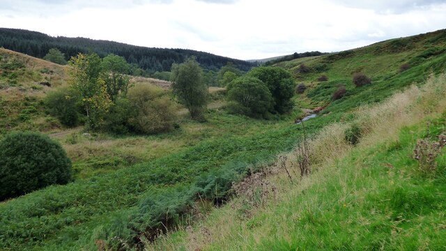
Battle Hill is a prominent hill located in the county of Roxburghshire, Scotland. It is situated near the town of Hawick and forms part of the Southern Uplands range. Rising to an elevation of 1,345 feet (410 meters), it offers breathtaking panoramic views of the surrounding countryside.

The hill derives its name from a historical event that took place in the vicinity. Legend has it that, during the 16th century, a fierce battle occurred between local clans, resulting in a significant loss of life. While the exact details of this battle remain unclear, the name Battle Hill serves as a reminder of the area's tumultuous past.

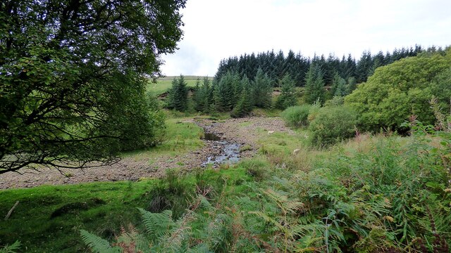
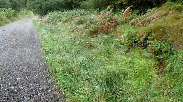
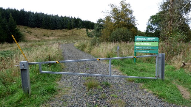
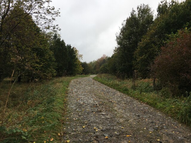
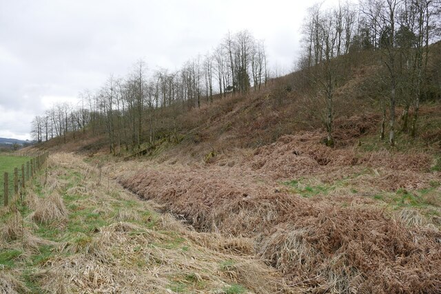
As a popular destination for hikers and nature enthusiasts, Battle Hill boasts a network of well-maintained trails that cater to different skill levels. Visitors can choose from a variety of routes, each offering unique perspectives of the landscape. The hill's diverse flora and fauna make it a haven for wildlife enthusiasts, with sightings of birds, deer, and other small mammals being common.

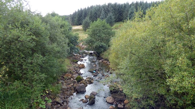
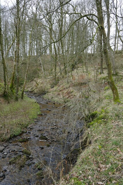
At the summit, hikers are rewarded with breathtaking views of the rolling hills, forests, and nearby rivers. On a clear day, one can even catch a glimpse of the border between Scotland and England in the distance. The hill's elevated position also makes it an ideal spot for stargazing, offering uninterrupted views of the night sky.

Overall, Battle Hill stands as a testament to the natural beauty and historical significance of Roxburghshire, providing visitors with an opportunity to immerse themselves in the region's rich heritage and stunning landscapes.

If you have any feedback on the listing, please let us know in the comments section below.

Battle Hill Images

Images are sourced within 2km of 55.15187/-2.7979417 or Grid Reference NY4984. Thanks to Geograph Open Source API. All images are credited.

Raegill Knowes Quarry Abandoned quarry buildings.
Raegill Knowes Quarry
Abandoned quarry buildings.
Kershope Bridge Spans the Scottish English border. Raegill Knowes Quarry and buildings beyond.
Kershope Bridge
Spans the Scottish English border. Raegill Knowes Quarry and buildings beyond.
Kershope Burn at Day Holm Views from the forest track are few and far between which may explain why most of the photographs in this grid square are taken here.
Kershope Burn at Day Holm
Views from the forest track are few and far between which may explain why most of the photographs in this grid square are taken here.
Spider webs beside the forest track at Day Holm
Welcome to Scotland Forest gate across the track leading into Scotland.
Welcome to Scotland
Forest gate across the track leading into Scotland.
Kershope Burn This river denotes the boundary between Scotland and England in this area.
Kershope Burn
This river denotes the boundary between Scotland and England in this area.
Spanning the border: Kershope Bridge The Scotland/England boundary runs down the Kershope Burn, seen here at a low level.

This photograph was taken during the Coronavirus (COVID-19) pandemic of 2020/21/22.
Spanning the border: Kershope Bridge
The Scotland/England boundary runs down the Kershope Burn, seen here at a low level. This photograph was taken during the Coronavirus (COVID-19) pandemic of 2020/21/22.
Kershope Valley The border between England on the left and Scotland on the right.
Kershope Valley
The border between England on the left and Scotland on the right.
Road into Thistlesike Plantation
Above the Liddel Water floodplain near Gilside Open woodland above the Liddel Water floodplain south of Newcastleton.
Above the Liddel Water floodplain near Gilside
Open woodland above the Liddel Water floodplain south of Newcastleton.
A sike near Gilside This sike is just about to flow in to the Liddel Water and is the combined water of the Kenneth Sike and Foulwood Sike which drain moorland and forestry above the valley.
A sike near Gilside
This sike is just about to flow in to the Liddel Water and is the combined water of the Kenneth Sike and Foulwood Sike which drain moorland and forestry above the valley.
A view of the Liddesdale from Gilbraehead The meandering Liddel Water and adjacent sheep and cattle pasture predominate this view from just south of Gilbraehead.
A view of the Liddesdale from Gilbraehead
The meandering Liddel Water and adjacent sheep and cattle pasture predominate this view from just south of Gilbraehead.
Kershope Bridge Kershope Bridge crossing Kershope Burn, the border between England and Scotland.
Kershope Bridge
Kershope Bridge crossing Kershope Burn, the border between England and Scotland.
Kershope Burn Kershope Burn, the border between England and Scotland, seen from Kershope Bridge.
Kershope Burn
Kershope Burn, the border between England and Scotland, seen from Kershope Bridge.
Kershope Bridge Lichen covered tree above Kershope Bridge.
Kershope Bridge
Lichen covered tree above Kershope Bridge.
Kershope Forest Sign at the entrance to part of Kershope Forest.
Kershope Forest
Sign at the entrance to part of Kershope Forest.
Kershope Forest Track in Kershope Forest.
Kershope Forest
Track in Kershope Forest.
Quieter way of crossing the border
Show me another place!

Battle Hill is located at Grid Ref: NY4984 (Lat: 55.15187, Lng: -2.7979417)

Unitary Authority: The Scottish Borders

Police Authority: The Lothians and Scottish Borders

What 3 Words

///blunders.funds.nurtures. Near Langholm, Dumfries & Galloway

Related Wikis

Mangerton Tower

Mangerton Tower is a ruined Scottish tower castle house formerly belonging to the Armstrong family. Mangerton Tower is at Mangerton in Newcastleton or...

Kershopefoot

Kershopefoot is a small hamlet in Cumbria, England, traditionally in Cumberland. It is located very close to the Scotland-England border and is near the...

Kershope Burn

Kershope Burn is a small river; a tributary of both the Liddel Water and the River Esk; its final destination is the Solway Firth. The early stages begin...

Penton railway station

Penton railway station served the parish of Penton from 1862 to 1969 on the Border Union Railway. == History == The station opened on 1 March 1862 by the...

Nearby Amenities

Located within 500m of 55.15187,-2.7979417
Carby Hill
Ele: 268
Natural: peak
Lat/Long: 55.1510058/-2.8007744
Battle Hill
Ele: 253
Natural: peak
Lat/Long: 55.1521292/-2.7979136
The data included in this document is from www.openstreetmap.org. The data is made available under ODbL.

Have you been to Battle Hill?

Leave your review of Battle Hill below (or comments, questions and feedback).