Stirches Mains Hill

Hill, Mountain in Roxburghshire

Scotland

Stirches Mains Hill

Border Abbeys Way near Sunnybank on a misty October morning Looking north-westward.
Border Abbeys Way near Sunnybank on a misty October morning Credit: Peter Wood

Stirches Mains Hill is a prominent landmark located in the county of Roxburghshire, in the Scottish Borders region of Scotland. Although not a particularly high hill, it stands at an elevation of around 396 feet (121 meters), providing stunning views of the surrounding countryside.

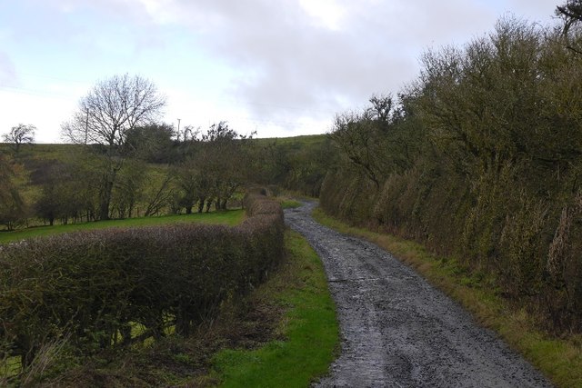
Situated near the village of St Boswells, Stirches Mains Hill is a popular destination for outdoor enthusiasts and nature lovers. The hill is easily accessible, with various paths and trails leading to its summit, making it an ideal spot for walking, hiking, and even picnicking.

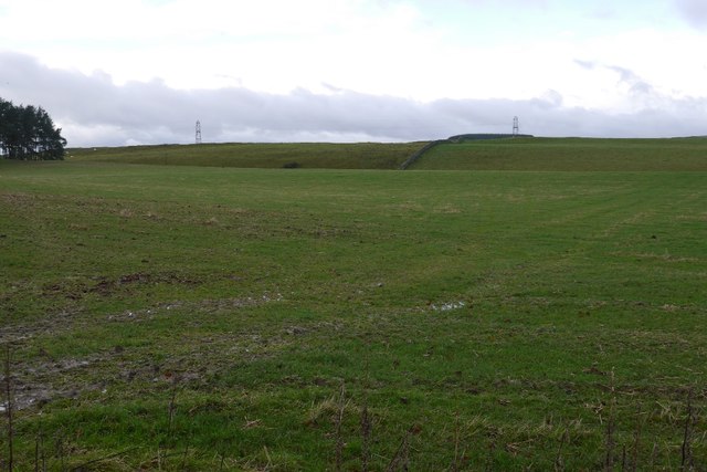
The hill is characterized by its gentle slopes and rolling landscape, covered in lush green vegetation during the warmer months. The area is home to a diverse range of flora and fauna, including heather, gorse, and a variety of bird species, making it an attractive location for birdwatchers.

At the top of Stirches Mains Hill, visitors are rewarded with breathtaking panoramic views of the surrounding countryside, including the picturesque River Tweed and the nearby Eildon Hills. On a clear day, it is even possible to see as far as the Cheviot Hills, located on the border between Scotland and England.

Overall, Stirches Mains Hill offers a peaceful and scenic retreat for those seeking a break from the hustle and bustle of everyday life. Its accessibility and natural beauty make it a popular destination for both locals and tourists alike.

If you have any feedback on the listing, please let us know in the comments section below.

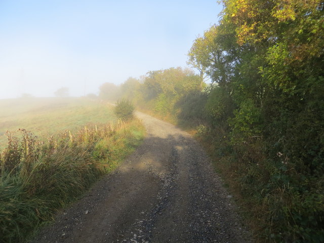
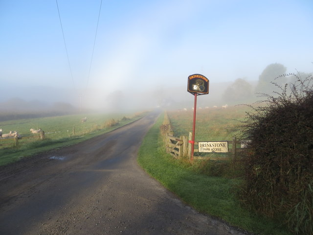
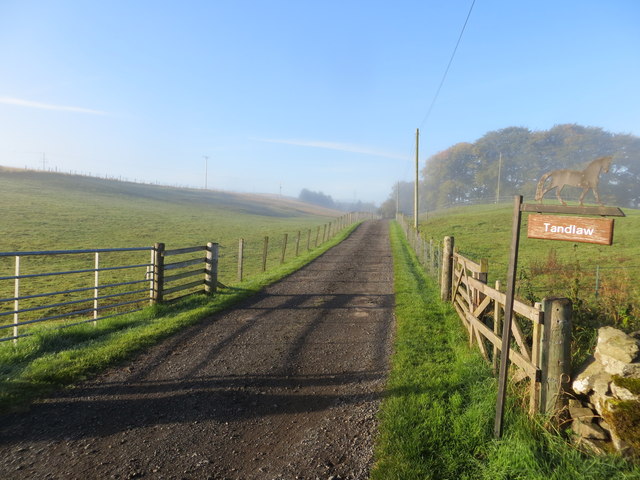
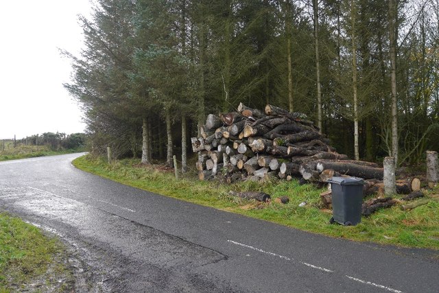
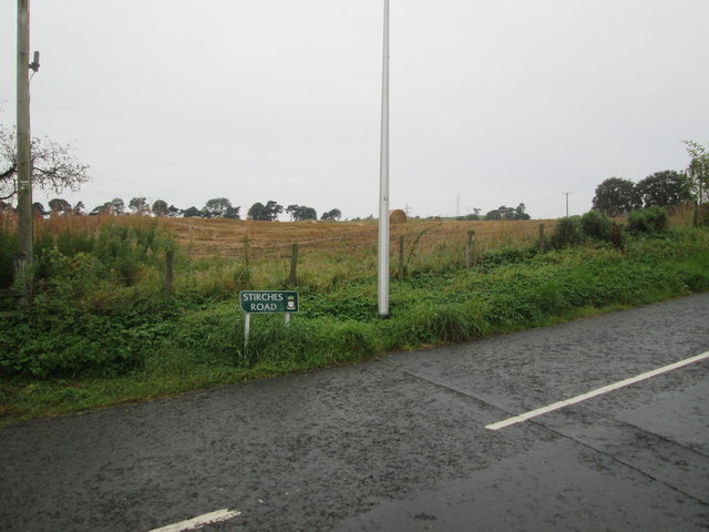
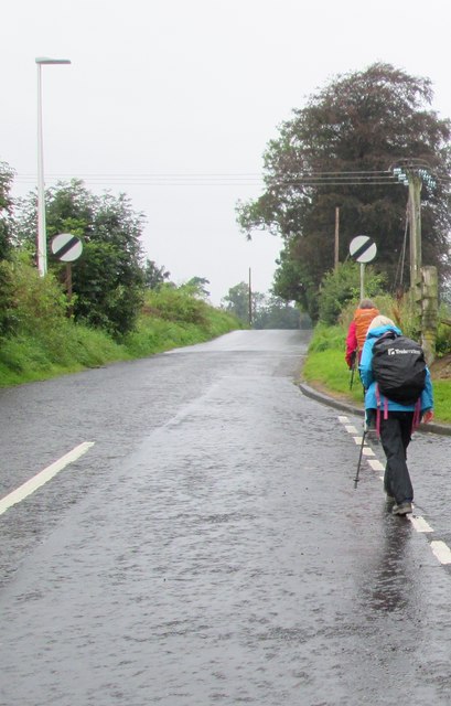
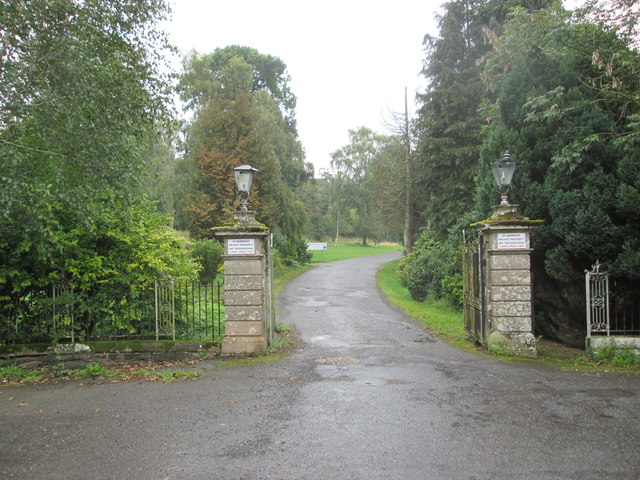
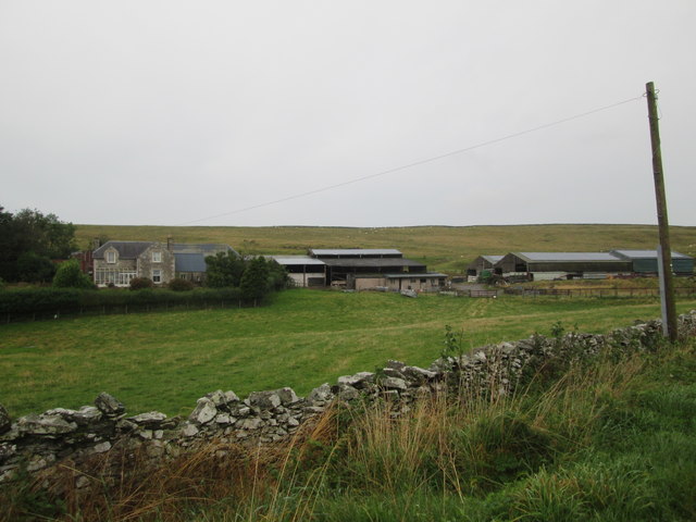
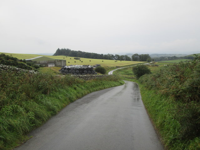
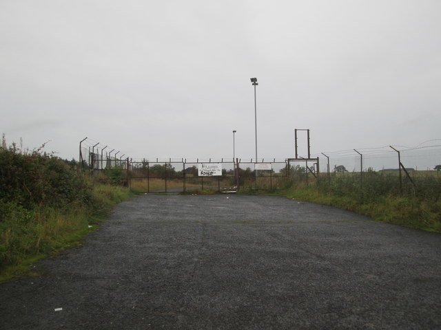
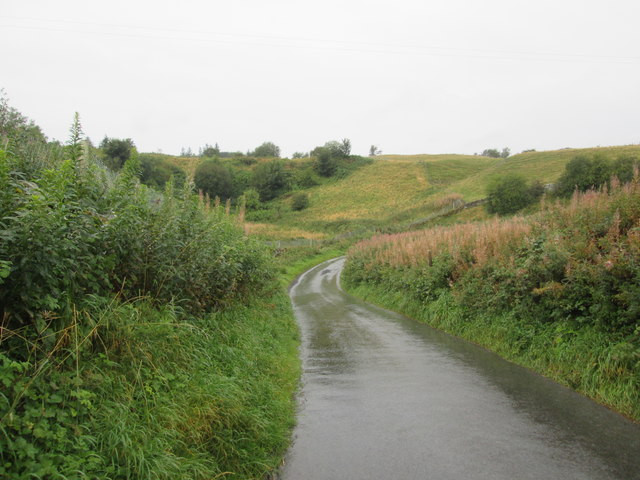
Stirches Mains Hill Images

Images are sourced within 2km of 55.442026/-2.8038194 or Grid Reference NT4916. Thanks to Geograph Open Source API. All images are credited.

Border Abbeys Way near Sunnybank on a misty October morning Looking north-westward.
Border Abbeys Way near Sunnybank on a misty October morning
Looking north-westward.
Track to Drinkstone Farm on a misty October morning Looking north-westward.
Track to Drinkstone Farm on a misty October morning
Looking north-westward.
Farm track to Tandlaw Looking south-westward.
Farm track to Tandlaw
Looking south-westward.
Logs near Priestrig Log stacks beside a minor road near Hawick.
Logs near Priestrig
Log stacks beside a minor road near Hawick.
Pasture near Stouslie North of Hawick.
Pasture near Stouslie
North of Hawick.
Road, Sunnybank Borders Abbeys Way north of Hawick.
Road, Sunnybank
Borders Abbeys Way north of Hawick.
St Andrew’s Care Home, Hawick This former convent at Stirches has a commanding position overlooking the town of Hawick in the Scottish Borders.
St Andrew’s Care Home, Hawick
This former convent at Stirches has a commanding position overlooking the town of Hawick in the Scottish Borders.
Wilton Dean Ford This is one of three fords on the Dean Beck at Wilton Dean.
Wilton Dean Ford
This is one of three fords on the Dean Beck at Wilton Dean.
Wilton Dean Ford This is the second of three fords on the Dean Burn at Wilton Dean.
Wilton Dean Ford
This is the second of three fords on the Dean Burn at Wilton Dean.
Wilton Dean Ford This is the third of the three fords on the Dean Burn.
Wilton Dean Ford
This is the third of the three fords on the Dean Burn.
Stirches  Road  meets  countryside After climbing out of Hawick, the first field
Stirches Road meets countryside
After climbing out of Hawick, the first field
Stirches  Road  leaves  Hawick Junction of Guthrie Drive to the right
Stirches Road leaves Hawick
Junction of Guthrie Drive to the right
Entrance  to  former  Convent  now  a  Care  Home St Andrews Care Home
Entrance to former Convent now a Care Home
St Andrews Care Home
Stirches  Mains  farm  from  Stirches  Road
Stirches Mains farm from Stirches Road
Looking  back  down  Stirches  Mains  Hill
Looking back down Stirches Mains Hill
Refuse  tip  entrance.  It  closed  in  2007 Richard Webb took a photo of the "recently closed tip" in November 2007
Refuse tip entrance. It closed in 2007
Richard Webb took a photo of the "recently closed tip" in November 2007
Dip  and  a  bend  on  a  minor  road B A Way follows this minor road out of Hawick
Dip and a bend on a minor road
B A Way follows this minor road out of Hawick
Approaching  minor  roads  junction B A Way straight on
Approaching minor roads junction
B A Way straight on
Show me another place!

Stirches Mains Hill is located at Grid Ref: NT4916 (Lat: 55.442026, Lng: -2.8038194)

Unitary Authority: The Scottish Borders

Police Authority: The Lothians and Scottish Borders

What 3 Words

///fooling.improves.amazed. Near Hawick, Scottish Borders

Nearby Locations

Stirches Mains Hill

Related Wikis

Stirches

Stirches is an area of Hawick in the Scottish Borders, mostly consisting of ex-council housing built in 1973. It is often considered to be one of the more...

Hawick railway station

Hawick railway station served the town of Hawick, Scottish Borders, Scotland from 1849 to 1969 on the Waverley Route. == History == The first station opened...

Hawick Library

Hawick Library is housed in the building built in 1904 in Hawick and it was one of the many libraries funded by Andrew Carnegie. The library is a Category...

Wilton Dean

Wilton Dean is a village in the Scottish Borders area of Scotland, on the Cala Burn, and close to the River Teviot. Along with Stirches and...

Nearby Amenities

Located within 500m of 55.442026,-2.8038194
Natural: peak
Lat/Long: 55.4429814/-2.8024079
Power: pole
Lat/Long: 55.4452068/-2.8071892
Power: pole
Lat/Long: 55.4443366/-2.8077015
Power: pole
Lat/Long: 55.4434983/-2.8082031
Power: pole
Lat/Long: 55.4431134/-2.8075406
Power: pole
Lat/Long: 55.4427072/-2.8068352
Power: pole
Lat/Long: 55.4422583/-2.8061003
Power: pole
Lat/Long: 55.441811/-2.80536
Power: pole
Lat/Long: 55.4409195/-2.8028172
Power: pole
Lat/Long: 55.4393599/-2.8026912
Power: pole
Lat/Long: 55.4405847/-2.8016612
Power: pole
Lat/Long: 55.4391621/-2.8018355
Power: pole
Lat/Long: 55.4388897/-2.800532
Material: wood
Power: pole
Lat/Long: 55.4383009/-2.7999124
Power: pole
Lat/Long: 55.4388289/-2.803123
Power: pole
Lat/Long: 55.4382993/-2.8035924
Generator Method: photovoltaic
Generator Output Electricity: yes
Generator Source: solar
Generator Type: solar_photovoltaic_panel
Power: generator
Lat/Long: 55.4419084/-2.7988744
Generator Method: photovoltaic
Generator Output Electricity: yes
Generator Source: solar
Generator Type: solar_photovoltaic_panel
Power: generator
Lat/Long: 55.4419662/-2.7990407
Generator Method: photovoltaic
Generator Output Electricity: yes
Generator Source: solar
Generator Type: solar_photovoltaic_panel
Power: generator
Lat/Long: 55.4418202/-2.7992123
Generator Method: photovoltaic
Generator Output Electricity: yes
Generator Source: solar
Generator Type: solar_photovoltaic_panel
Power: generator
Lat/Long: 55.4417852/-2.7990246
Power: pole
Lat/Long: 55.4377791/-2.8040339
Power: pole
Lat/Long: 55.4398906/-2.8022765
Power: pole
Lat/Long: 55.4404176/-2.8009632
Power: pole
Lat/Long: 55.4406558/-2.8005
Power: pole
Lat/Long: 55.4409489/-2.7999274
The data included in this document is from www.openstreetmap.org. The data is made available under ODbL.

Have you been to Stirches Mains Hill?

Leave your review of Stirches Mains Hill below (or comments, questions and feedback).