Carby Hill
Hill, Mountain in Roxburghshire
Scotland
Carby Hill

Carby Hill is a prominent hill located in the county of Roxburghshire, Scotland. Rising to an elevation of approximately 300 meters (984 feet), it is considered a noteworthy landmark in the region.
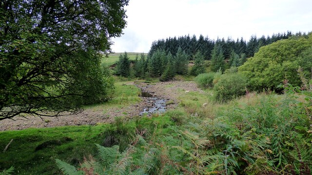
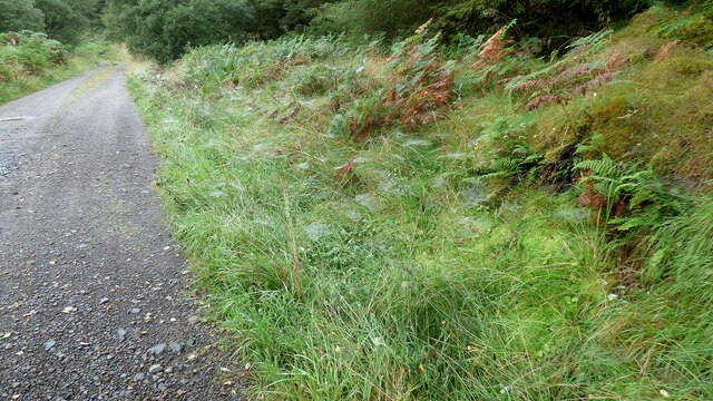
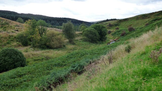
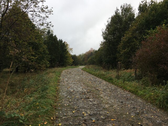
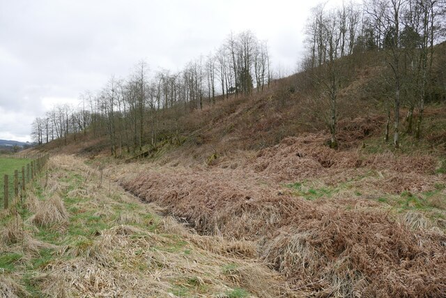
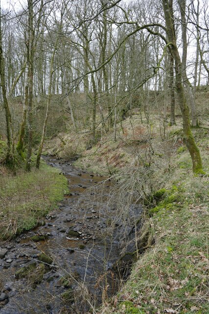
Situated near the small village of Carby, the hill offers stunning panoramic views of the surrounding countryside. Its gentle slopes and lush greenery make it a popular destination for hikers and nature enthusiasts alike. The well-maintained trails winding their way up the hill provide an enjoyable and accessible hiking experience for visitors.
Carby Hill is also home to a diverse range of flora and fauna. The hill's vegetation consists of a mix of grasses, heathers, and scattered trees, creating a picturesque landscape. Wildlife such as deer, rabbits, and various bird species can often be spotted, adding to the natural charm of the area.
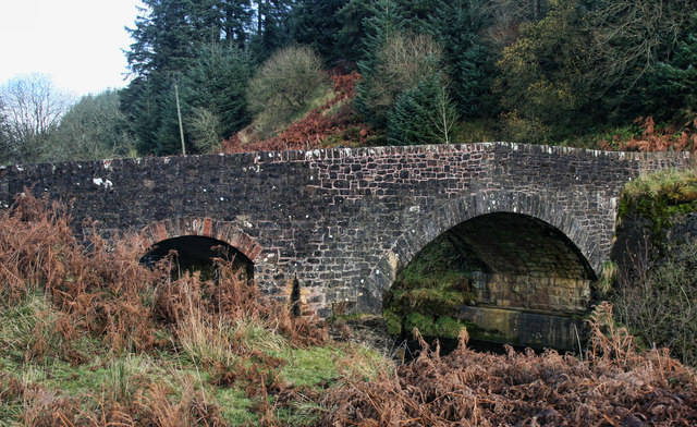
Historically, Carby Hill has played a significant role in the region. It is believed that the hill was once a defensive site, with remnants of ancient hillforts still visible today. These archaeological remains offer insights into the area's rich history and have attracted the interest of researchers and history enthusiasts.
With its scenic beauty, abundant wildlife, and historical significance, Carby Hill is a beloved natural landmark in Roxburghshire. It provides visitors with an opportunity to immerse themselves in the splendor of the Scottish countryside and experience the region's rich heritage.
If you have any feedback on the listing, please let us know in the comments section below.
Carby Hill Images
Images are sourced within 2km of 55.151025/-2.8007337 or Grid Reference NY4984. Thanks to Geograph Open Source API. All images are credited.


Carby Hill is located at Grid Ref: NY4984 (Lat: 55.151025, Lng: -2.8007337)
Unitary Authority: The Scottish Borders
Police Authority: The Lothians and Scottish Borders
What 3 Words
///enigma.songs.shrubbery. Near Langholm, Dumfries & Galloway
Nearby Locations
Related Wikis

Mangerton Tower
Mangerton Tower is a ruined Scottish tower castle house formerly belonging to the Armstrong family. Mangerton Tower is at Mangerton in Newcastleton or...

Kershopefoot
Kershopefoot is a small hamlet in Cumbria, England, traditionally in Cumberland. It is located very close to the Scotland-England border and is near the...

Kershope Burn
Kershope Burn is a small river; a tributary of both the Liddel Water and the River Esk; its final destination is the Solway Firth. The early stages begin...

Penton railway station
Penton railway station served the parish of Penton from 1862 to 1969 on the Border Union Railway. == History == The station opened on 1 March 1862 by the...

Kershope Foot railway station
Kershope Foot railway station served the hamlet of Kershopefoot, Cumbria, from 1862 to 1969 on the Border Union Railway. == History == The station opened...

Ettleton
Ettleton is a village near Castleton, in the Scottish Borders area of Scotland, in the former Roxburghshire. == Etymology and history == Ettleton Parish...

Castleton, Scottish Borders
Castleton (Scottish Gaelic: Baile Chaisteil) is a civil parish in the Scottish Borders area of Scotland, in the former Roxburghshire, in the extreme south...
Newcastleton
Newcastleton, also called Copshaw Holm, is a village in Liddesdale, the Scottish Borders, a few miles from the border with England, on the Liddel Water...
Nearby Amenities
Located within 500m of 55.151025,-2.8007337Have you been to Carby Hill?
Leave your review of Carby Hill below (or comments, questions and feedback).