Carby Hill

Heritage Site in Roxburghshire

Scotland

Carby Hill

Raegill Knowes Quarry Abandoned quarry buildings.
Raegill Knowes Quarry Credit: Sandy Gerrard

Carby Hill, located in Roxburghshire, Scotland, is a renowned heritage site that holds significant historical and cultural importance. Situated on a hilltop overlooking the picturesque Teviot Valley, Carby Hill offers breathtaking views of the surrounding countryside.

The site is home to the remains of an ancient hillfort, believed to have been constructed by the Iron Age inhabitants of the area. The fortification consists of a series of earthworks and ramparts, which once provided a defensive stronghold for its inhabitants. Archaeological excavations have revealed evidence of occupation dating back to the late Bronze Age, making Carby Hill a site of great archaeological interest.

Visitors to Carby Hill can explore the remains of the hillfort and gain insights into the daily lives and activities of its inhabitants. The site provides a unique opportunity to delve into Scotland's ancient history and gain a deeper understanding of its rich cultural heritage.

In addition to its historical significance, Carby Hill is also a popular spot for outdoor enthusiasts. The surrounding area offers numerous walking trails, allowing visitors to immerse themselves in the natural beauty of the Scottish Borders. The hilltop location offers panoramic views, making it an ideal spot for photography and birdwatching.

Carby Hill is easily accessible, with parking facilities and information boards providing guidance to visitors. The site is managed by local authorities and is open to the public, offering a fascinating glimpse into Scotland's ancient past while providing opportunities for recreation and relaxation in a stunning natural setting.

If you have any feedback on the listing, please let us know in the comments section below.
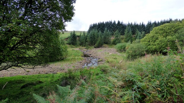
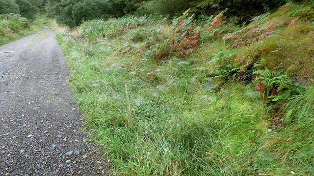
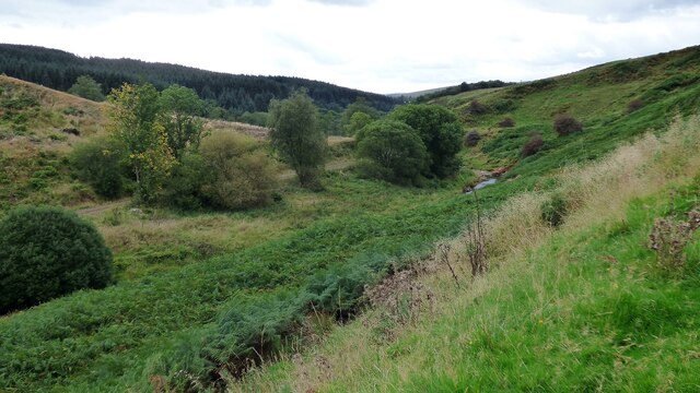
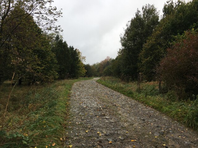
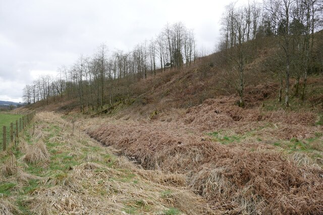
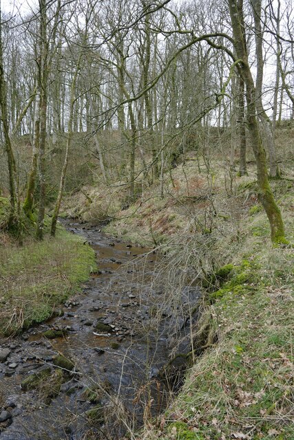
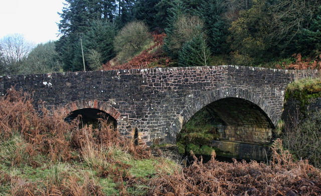
Carby Hill Images

Images are sourced within 2km of 55.151/-2.8008 or Grid Reference NY4984. Thanks to Geograph Open Source API. All images are credited.

Raegill Knowes Quarry Abandoned quarry buildings.
Raegill Knowes Quarry
Abandoned quarry buildings.
Kershope Bridge Spans the Scottish English border. Raegill Knowes Quarry and buildings beyond.
Kershope Bridge
Spans the Scottish English border. Raegill Knowes Quarry and buildings beyond.
Kershope Burn at Day Holm Views from the forest track are few and far between which may explain why most of the photographs in this grid square are taken here.
Kershope Burn at Day Holm
Views from the forest track are few and far between which may explain why most of the photographs in this grid square are taken here.
Spider webs beside the forest track at Day Holm
Spanning the border: Kershope Bridge The Scotland/England boundary runs down the Kershope Burn, seen here at a low level.

This photograph was taken during the Coronavirus (COVID-19) pandemic of 2020/21/22.
Spanning the border: Kershope Bridge
The Scotland/England boundary runs down the Kershope Burn, seen here at a low level. This photograph was taken during the Coronavirus (COVID-19) pandemic of 2020/21/22.
Kershope Valley The border between England on the left and Scotland on the right.
Kershope Valley
The border between England on the left and Scotland on the right.
Road into Thistlesike Plantation
Above the Liddel Water floodplain near Gilside Open woodland above the Liddel Water floodplain south of Newcastleton.
Above the Liddel Water floodplain near Gilside
Open woodland above the Liddel Water floodplain south of Newcastleton.
A sike near Gilside This sike is just about to flow in to the Liddel Water and is the combined water of the Kenneth Sike and Foulwood Sike which drain moorland and forestry above the valley.
A sike near Gilside
This sike is just about to flow in to the Liddel Water and is the combined water of the Kenneth Sike and Foulwood Sike which drain moorland and forestry above the valley.
A view of the Liddesdale from Gilbraehead The meandering Liddel Water and adjacent sheep and cattle pasture predominate this view from just south of Gilbraehead.
A view of the Liddesdale from Gilbraehead
The meandering Liddel Water and adjacent sheep and cattle pasture predominate this view from just south of Gilbraehead.
Kershope Bridge Kershope Bridge crossing Kershope Burn, the border between England and Scotland.
Kershope Bridge
Kershope Bridge crossing Kershope Burn, the border between England and Scotland.
Kershope Burn Kershope Burn, the border between England and Scotland, seen from Kershope Bridge.
Kershope Burn
Kershope Burn, the border between England and Scotland, seen from Kershope Bridge.
Kershope Bridge Lichen covered tree above Kershope Bridge.
Kershope Bridge
Lichen covered tree above Kershope Bridge.
Kershope Forest Sign at the entrance to part of Kershope Forest.
Kershope Forest
Sign at the entrance to part of Kershope Forest.
Kershope Forest Track in Kershope Forest.
Kershope Forest
Track in Kershope Forest.
Quieter way of crossing the border
Adventurous lamb "I told you not to cross Kershope Burn, now you're in Scotland". View from Kershope Bridge on the English side.
Adventurous lamb
"I told you not to cross Kershope Burn, now you're in Scotland". View from Kershope Bridge on the English side.
Kershope Bridge England is to the left of Kershope Burn and Scotland to the right.
Kershope Bridge
England is to the left of Kershope Burn and Scotland to the right.
Show me another place!

Carby Hill is located at Grid Ref: NY4984 (Lat: 55.151, Lng: -2.8008)

Unitary Authority: The Scottish Borders

Police Authority: The Lothians and Scottish Borders

What 3 Words

///octagon.reseller.november. Near Langholm, Dumfries & Galloway

Related Wikis

Mangerton Tower

Mangerton Tower is a ruined Scottish tower castle house formerly belonging to the Armstrong family. Mangerton Tower is at Mangerton in Newcastleton or...

Kershopefoot

Kershopefoot is a small hamlet in Cumbria, England, traditionally in Cumberland. It is located very close to the Scotland-England border and is near the...

Kershope Burn

Kershope Burn is a small river; a tributary of both the Liddel Water and the River Esk; its final destination is the Solway Firth. The early stages begin...

Penton railway station

Penton railway station served the parish of Penton from 1862 to 1969 on the Border Union Railway. == History == The station opened on 1 March 1862 by the...

Nearby Amenities

Located within 500m of 55.151,-2.8008
Carby Hill
Ele: 268
Natural: peak
Lat/Long: 55.1510058/-2.8007744
Battle Hill
Ele: 253
Natural: peak
Lat/Long: 55.1521292/-2.7979136
Power: pole
Lat/Long: 55.1501961/-2.8078205
Power: pole
Lat/Long: 55.1493839/-2.806806
Power: pole
Lat/Long: 55.1486319/-2.805897
Power: pole
Lat/Long: 55.147908/-2.8050267
Power: pole
Lat/Long: 55.1471619/-2.8040766
The data included in this document is from www.openstreetmap.org. The data is made available under ODbL.

Have you been to Carby Hill ?

Leave your review of Carby Hill below (or comments, questions and feedback).