Black Rigg

Hill, Mountain in Cumberland Carlisle

England

Black Rigg

Kershope Valley The border between England on the left and Scotland on the right.
Kershope Valley Credit: Sandy Gerrard

Black Rigg is a prominent hill located in the county of Cumberland, in the northwestern region of England. Standing at an elevation of 487 meters (1,598 feet), it is considered a substantial hill rather than a true mountain.

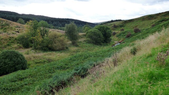
Situated within the North Pennines Area of Outstanding Natural Beauty, Black Rigg offers breathtaking panoramic views of the surrounding countryside. Its distinctive shape and steep slopes make it a popular destination for hikers, nature enthusiasts, and outdoor adventurers.

The hill is predominantly composed of sedimentary rocks, including limestone and sandstone, which result in a varied and interesting terrain. The slopes are covered in a patchwork of heather moorland, grassy meadows, and scattered woodland, providing a diverse habitat for a range of flora and fauna.

Black Rigg is a haven for wildlife, with several bird species, such as the peregrine falcon and curlew, making their home in the area. The hill is also known for its population of red grouse, which can often be seen darting across the heather.

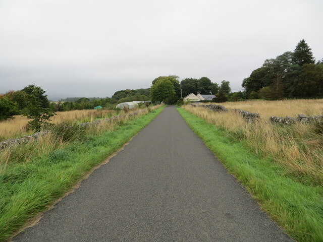
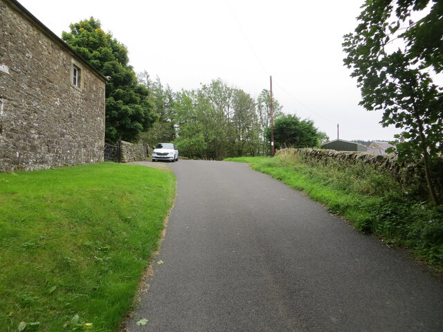
Access to Black Rigg is relatively straightforward, with several footpaths leading to its summit. The hill offers a range of walking routes, catering to different levels of difficulty and duration. On a clear day, climbers are rewarded with stunning views across the nearby valleys and fells, including the famous Hadrian's Wall.

Overall, Black Rigg is a picturesque and captivating hill, offering visitors a chance to immerse themselves in the natural beauty and rugged landscapes of Cumberland.

If you have any feedback on the listing, please let us know in the comments section below.
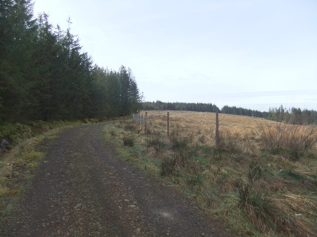
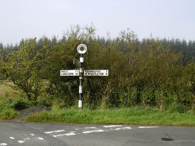
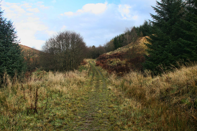
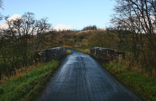
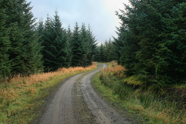
Black Rigg Images

Images are sourced within 2km of 55.125248/-2.7973009 or Grid Reference NY4981. Thanks to Geograph Open Source API. All images are credited.

Kershope Valley The border between England on the left and Scotland on the right.
Kershope Valley
The border between England on the left and Scotland on the right.
Minor road approaching Longcleughside Looking north-eastward.
Minor road approaching Longcleughside
Looking north-eastward.
Minor road at Stonegarthside Hall Looking south-eastward.
Minor road at Stonegarthside Hall
Looking south-eastward.
Minor road between Stonegarthside Hall and Kershope House Looking north-eastward.
Minor road between Stonegarthside Hall and Kershope House
Looking north-eastward.
Ordnance Survey Cut Mark This mark can be found on the roadside wall of a barn at Stonegarthside Hall.
The recorded details give a height of 146.2553 metres above sea level.
For more details see : <span class="nowrap"><a title="https://www.bench-marks.org.uk/bm164658" rel="nofollow ugc noopener" href="https://www.bench-marks.org.uk/bm164658">Link</a><img style="margin-left:2px;" alt="External link" title="External link - shift click to open in new window" src="https://s1.geograph.org.uk/img/external.png" width="10" height="10"/></span>
Ordnance Survey Cut Mark
This mark can be found on the roadside wall of a barn at Stonegarthside Hall. The recorded details give a height of 146.2553 metres above sea level. For more details see : LinkExternal link
Roansgreen Barn at Roansgreen.
Roansgreen
Barn at Roansgreen.
Mine's a Ninety Nine! Ice Cream Van at Roansgreen in Kershope Forest.
Mine's a Ninety Nine!
Ice Cream Van at Roansgreen in Kershope Forest.
Goose Sike Goose Sike in Kershope Forest.
Goose Sike
Goose Sike in Kershope Forest.
Langleyburn Horses on rough grazing near Langleyburn.
Langleyburn
Horses on rough grazing near Langleyburn.
Crubbins Hill
Crubbins Hill
In Kershope Forest
In Kershope Forest
Signpost, Roansgreen Opposite where the Dog and Gun was, a Cumberland finger post.
Signpost, Roansgreen
Opposite where the Dog and Gun was, a Cumberland finger post.
Direction Sign – Signpost Located on the west side of a T junction south of Roansgreen in Kershope Forest in Bewcastle parish. 3 arms and annulus finial. See also <a title="https://www.geograph.org.uk/photo/4672860" href="https://www.geograph.org.uk/photo/4672860">Link</a>.

Milestone Society National ID: CU_NY5082
Direction Sign – Signpost
Located on the west side of a T junction south of Roansgreen in Kershope Forest in Bewcastle parish. 3 arms and annulus finial. See also Link. Milestone Society National ID: CU_NY5082
Raegill Knowes Path alongside Kershope Burn near Raegill Knowes.
Raegill Knowes
Path alongside Kershope Burn near Raegill Knowes.
Thorny Knowe Path alongside Kershope Burn near Thorny Knowe.
Thorny Knowe
Path alongside Kershope Burn near Thorny Knowe.
Kershope Burn Bridge crossing Kershope Burn, the border between England and Scotland.
Kershope Burn
Bridge crossing Kershope Burn, the border between England and Scotland.
Black Rigg Track near Black Rigg in Kershope Forest.
Black Rigg
Track near Black Rigg in Kershope Forest.
Raegill Knowes Road at Raegill Knowes.
Raegill Knowes
Road at Raegill Knowes.
Show me another place!

Black Rigg is located at Grid Ref: NY4981 (Lat: 55.125248, Lng: -2.7973009)

Administrative County: Cumbria

District: Carlisle

Police Authority: Cumbria

What 3 Words

///cheat.indulges.emerald. Near Langholm, Dumfries & Galloway

Nearby Locations

Black Rigg

Related Wikis

Have you been to Black Rigg?

Leave your review of Black Rigg below (or comments, questions and feedback).