Dobdale Hill

Hill, Mountain in Westmorland South Lakeland

England

Dobdale Hill

Flowery cottage on Parkend Lane The inhabitants have produced an amazing display of hanging baskets, window boxes and other containers of flowering plants.
Flowery cottage on Parkend Lane Credit: Karl and Ali

Dobdale Hill is a prominent geographical feature located in the county of Westmorland, England. Situated in the picturesque region of the Lake District, it is classified as a hill and mountain due to its significant elevation and rugged terrain.

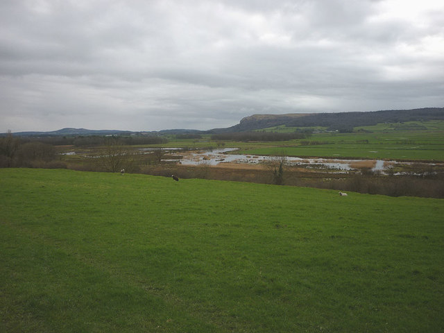
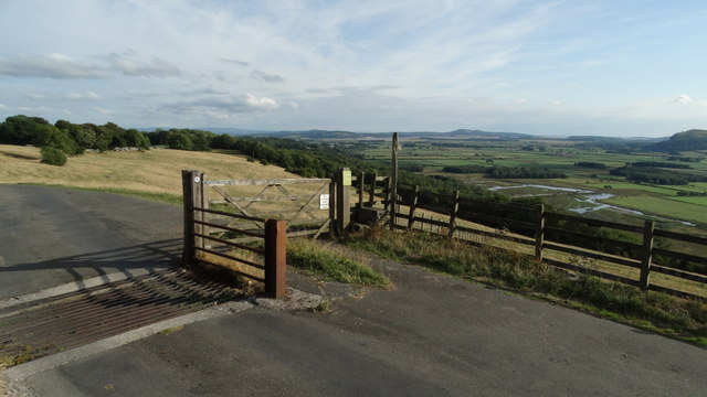
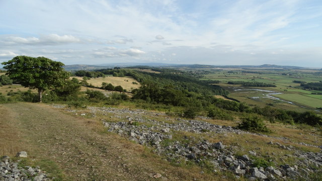
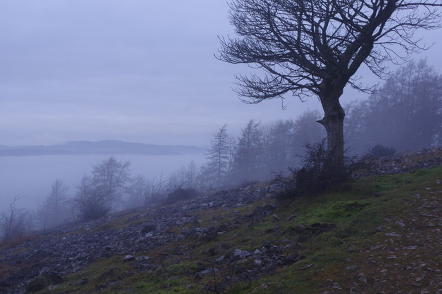
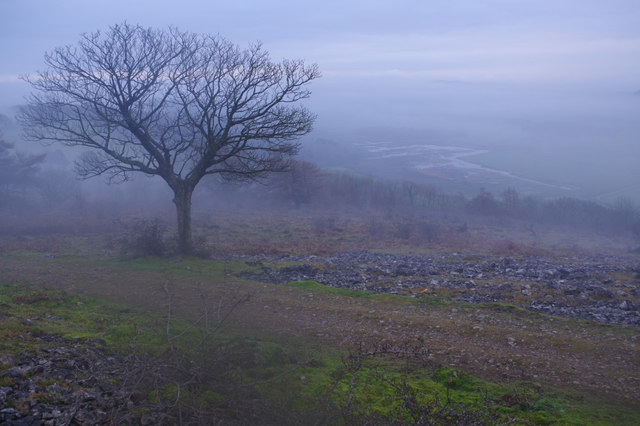
Rising to a height of approximately 823 feet (251 meters), Dobdale Hill offers breathtaking panoramic views of the surrounding landscape. Its location within the Lake District National Park makes it a popular destination for hikers and nature enthusiasts seeking to immerse themselves in the area's natural beauty.

The hill is known for its distinctive geological formations, with rocky outcrops and craggy cliffs dotting its slopes. These formations are a testament to the region's glacial history and add to the hill's charm and character.

Dobdale Hill is also home to a diverse range of flora and fauna. The hillside is blanketed with heather and grasses, creating a vibrant tapestry of colors throughout the year. Various species of birds, including peregrine falcons and ravens, can often be spotted soaring overhead, while small mammals like rabbits and foxes inhabit the hill's lower reaches.

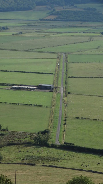
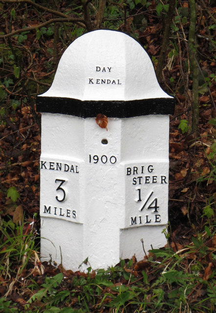
Access to Dobdale Hill is facilitated by a network of footpaths and trails that wind their way up the slopes, allowing visitors to explore its beauty at their own pace. Its close proximity to nearby towns and villages, such as Kendal and Windermere, further enhances its appeal as a popular destination for outdoor enthusiasts.

In conclusion, Dobdale Hill in Westmorland is a magnificent natural landmark that offers stunning views, unique geological formations, and a rich diversity of flora and fauna. It is a must-visit for anyone seeking an authentic experience of the Lake District's awe-inspiring beauty.

If you have any feedback on the listing, please let us know in the comments section below.
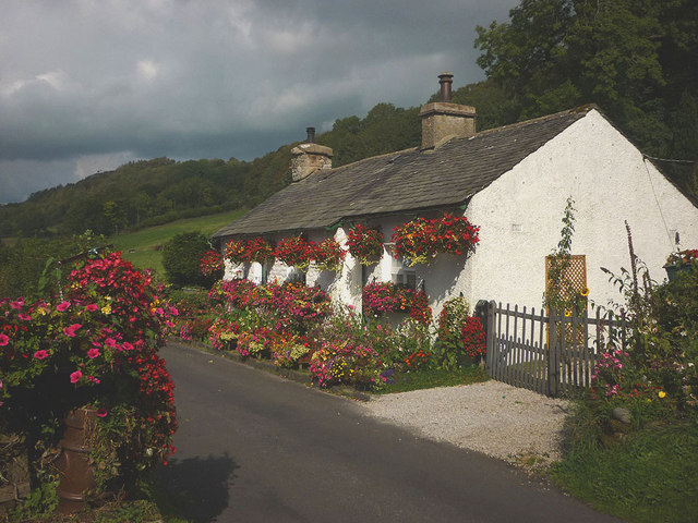
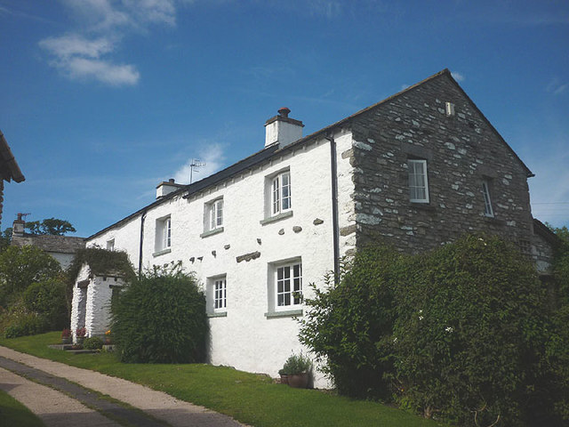
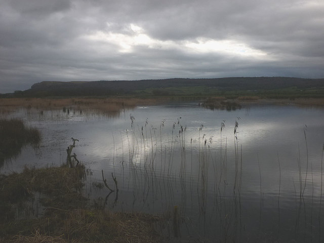
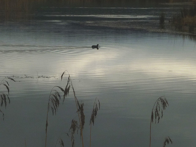
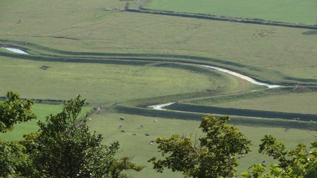
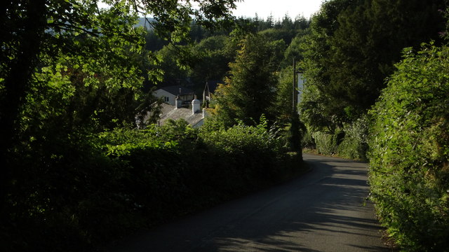
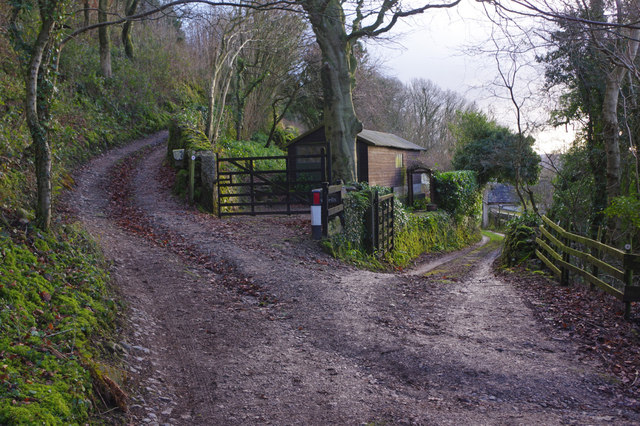
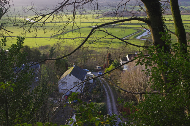
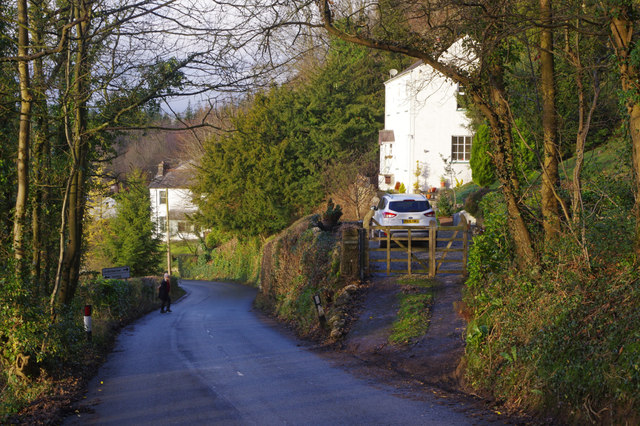
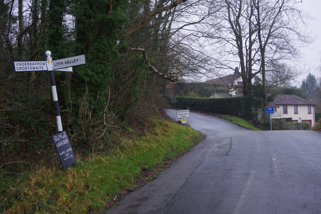
Dobdale Hill Images

Images are sourced within 2km of 54.298647/-2.817059 or Grid Reference SD4689. Thanks to Geograph Open Source API. All images are credited.

Flowery cottage on Parkend Lane The inhabitants have produced an amazing display of hanging baskets, window boxes and other containers of flowering plants.
Flowery cottage on Parkend Lane
The inhabitants have produced an amazing display of hanging baskets, window boxes and other containers of flowering plants.
Cottage at Row Beside the lane/public footpath which heads west of the hamlet towards open pastureland and the wooded heights of Whitbarrow.
Cottage at Row
Beside the lane/public footpath which heads west of the hamlet towards open pastureland and the wooded heights of Whitbarrow.
Park End Moss A wetland reserve created by the National Trust two years ago on farmland in the Lyth Valley. Beyond is the long ridge of Whitbarrow. This land is now also part of the Lake District national park.
Park End Moss
A wetland reserve created by the National Trust two years ago on farmland in the Lyth Valley. Beyond is the long ridge of Whitbarrow. This land is now also part of the Lake District national park.
A coot on Park End Moss A coot enjoying the new wetland created in 2015 by the National Trust.
A coot on Park End Moss
A coot enjoying the new wetland created in 2015 by the National Trust.
Park End Moss A view of the new (2015) wetland created on saturated farmland in the Lyth Valley by the National trust.
Park End Moss
A view of the new (2015) wetland created on saturated farmland in the Lyth Valley by the National trust.
Open ground W of Helsington Church
Access road towards Helsington Church & Lyth Valley
Brigsteer Causeway from road to Helsington Church
Path at southern end of Helsington Barrows
Helsington Pool (creek) as seen from S of Helsington Barrows
Brigsteer Brow leading into Brigsteer
Tracks near Brigsteer The track on the left is a bridleway leading up towards Holeslack Farm.
Tracks near Brigsteer
The track on the left is a bridleway leading up towards Holeslack Farm.
Brigsteer Looking over part of Brigsteer village with the Lyth Valley beyond.
Brigsteer
Looking over part of Brigsteer village with the Lyth Valley beyond.
Brigsteer Brow The road drops down quite steeply into Brigsteer village.
Brigsteer Brow
The road drops down quite steeply into Brigsteer village.
Approaching Brigsteer Looking along the road from Underbarrow at the junction for a narrow lane that heads across the Lyth Valley. The blackboard advertises the Wheatsheaf 'Award winning inn'.
Approaching Brigsteer
Looking along the road from Underbarrow at the junction for a narrow lane that heads across the Lyth Valley. The blackboard advertises the Wheatsheaf 'Award winning inn'.
Helsington Barrows Bleak conditions above Brigsteer village with fog lying in the Lyth Valley. Despite appearances the weather is mild for the time of year. This is National Trust land.
Helsington Barrows
Bleak conditions above Brigsteer village with fog lying in the Lyth Valley. Despite appearances the weather is mild for the time of year. This is National Trust land.
Helsington Barrows Looking down in misty conditions into the Lyth Valley from above Brigsteer.
Helsington Barrows
Looking down in misty conditions into the Lyth Valley from above Brigsteer.
Old Milepost by Brigsteer Road, Brigsteer, Kendal parish Metal post with attached metal plates by the UC road, in parish of KENDAL (SOUTH LAKELAND District), Brigsteer, in bank, on East side of road. Day iron casting, erected by the County Council in the 20th century. 

Inscription reads:-
: KENDAL / 3 / MILES : : 1900 : : BRIG / STEER / ¼ / MILE :
Maker:-
: DAY / KENDAL : 

Milestone Society National ID: WE_KDBS03.
Old Milepost by Brigsteer Road, Brigsteer, Kendal parish
Metal post with attached metal plates by the UC road, in parish of KENDAL (SOUTH LAKELAND District), Brigsteer, in bank, on East side of road. Day iron casting, erected by the County Council in the 20th century. Inscription reads:- : KENDAL / 3 / MILES : : 1900 : : BRIG / STEER / ¼ / MILE : Maker:- : DAY / KENDAL : Milestone Society National ID: WE_KDBS03.
Show me another place!

Dobdale Hill is located at Grid Ref: SD4689 (Lat: 54.298647, Lng: -2.817059)

Administrative County: Cumbria

District: South Lakeland

Police Authority: Cumbria

What 3 Words

///dust.tingled.pianists. Near Kendal, Cumbria

Related Wikis

Nearby Amenities

Located within 500m of 54.298647,-2.817059
The data included in this document is from www.openstreetmap.org. The data is made available under ODbL.

Have you been to Dobdale Hill?

Leave your review of Dobdale Hill below (or comments, questions and feedback).