Castle Crag

Hill, Mountain in Westmorland Eden

England

Castle Crag

The Rigg View across Haweswater
The Rigg Credit: Kevin Waterhouse

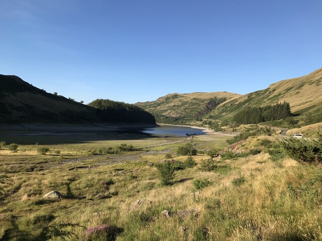
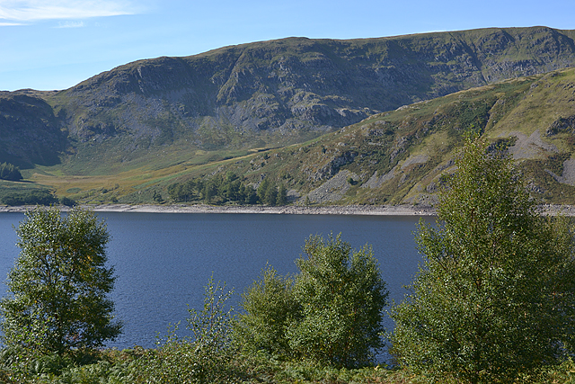
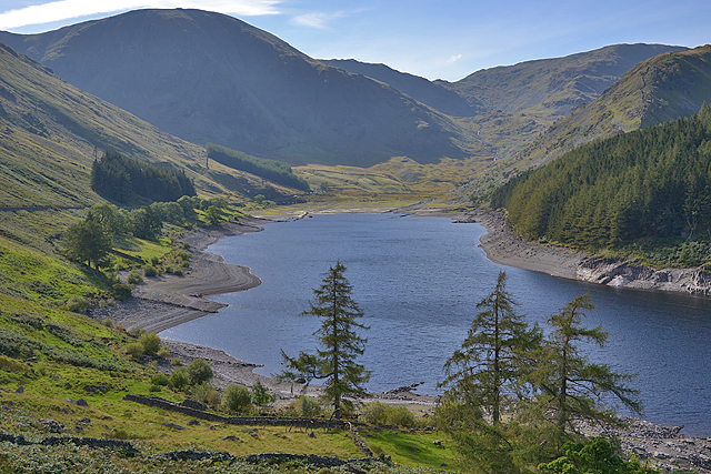
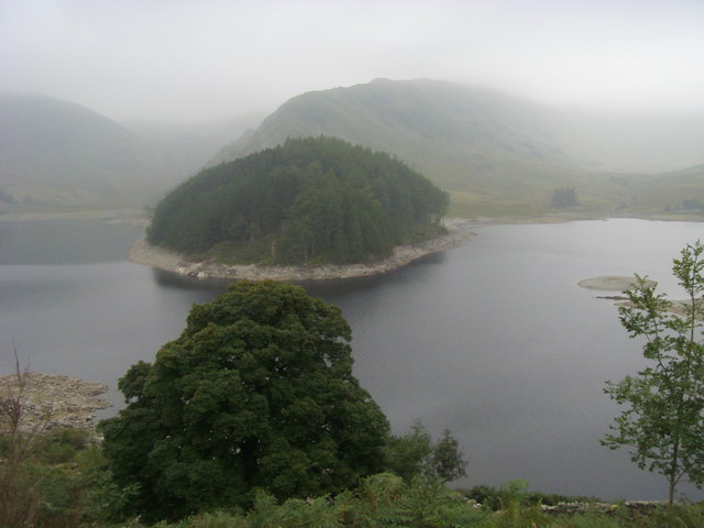
Castle Crag is a prominent hill located in the beautiful valley of Borrowdale, in the county of Westmorland, England. It is part of the Lake District National Park, renowned for its stunning landscapes and rich natural heritage. Standing at a height of 290 meters (950 feet), Castle Crag offers breathtaking panoramic views of the surrounding countryside.

The hill gets its name from the remnants of an Iron Age hillfort that crowns its summit. This historic fortification is believed to have been built around 2,500 years ago and is one of the smallest and most easily accessible hillforts in the region. The fort's strategic position overlooking the valley suggests that it served as a defensive site during ancient times.

Castle Crag is a popular destination for hikers and outdoor enthusiasts due to its relatively easy ascent and the rewarding vistas it offers. The well-marked trail to the summit begins at the National Trust car park in the village of Rosthwaite, following a gentle climb through picturesque woodlands and meadows. As visitors ascend, they are treated to breathtaking views of the Borrowdale valley, the towering peaks of the surrounding mountains, and the sparkling waters of the River Derwent.

The hill's unique geological features also attract geology enthusiasts. Composed predominantly of Borrowdale Volcanic Group rocks, Castle Crag showcases fascinating formations and provides insight into the region's volcanic past.

With its historical significance, natural beauty, and accessibility, Castle Crag is a must-visit destination for anyone exploring the Lake District, offering a perfect blend of cultural and natural wonders.

If you have any feedback on the listing, please let us know in the comments section below.
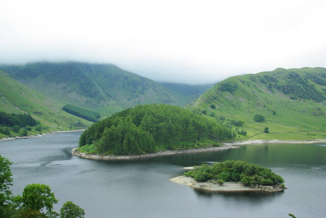
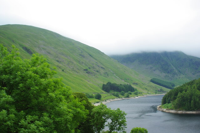
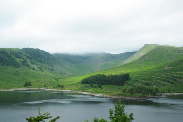
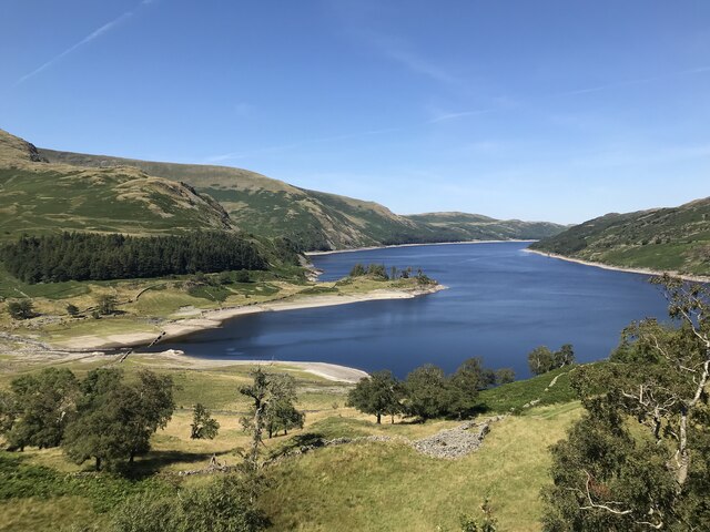
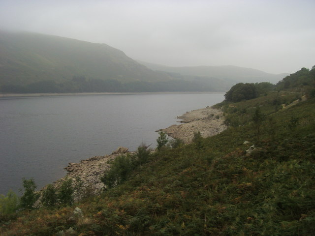
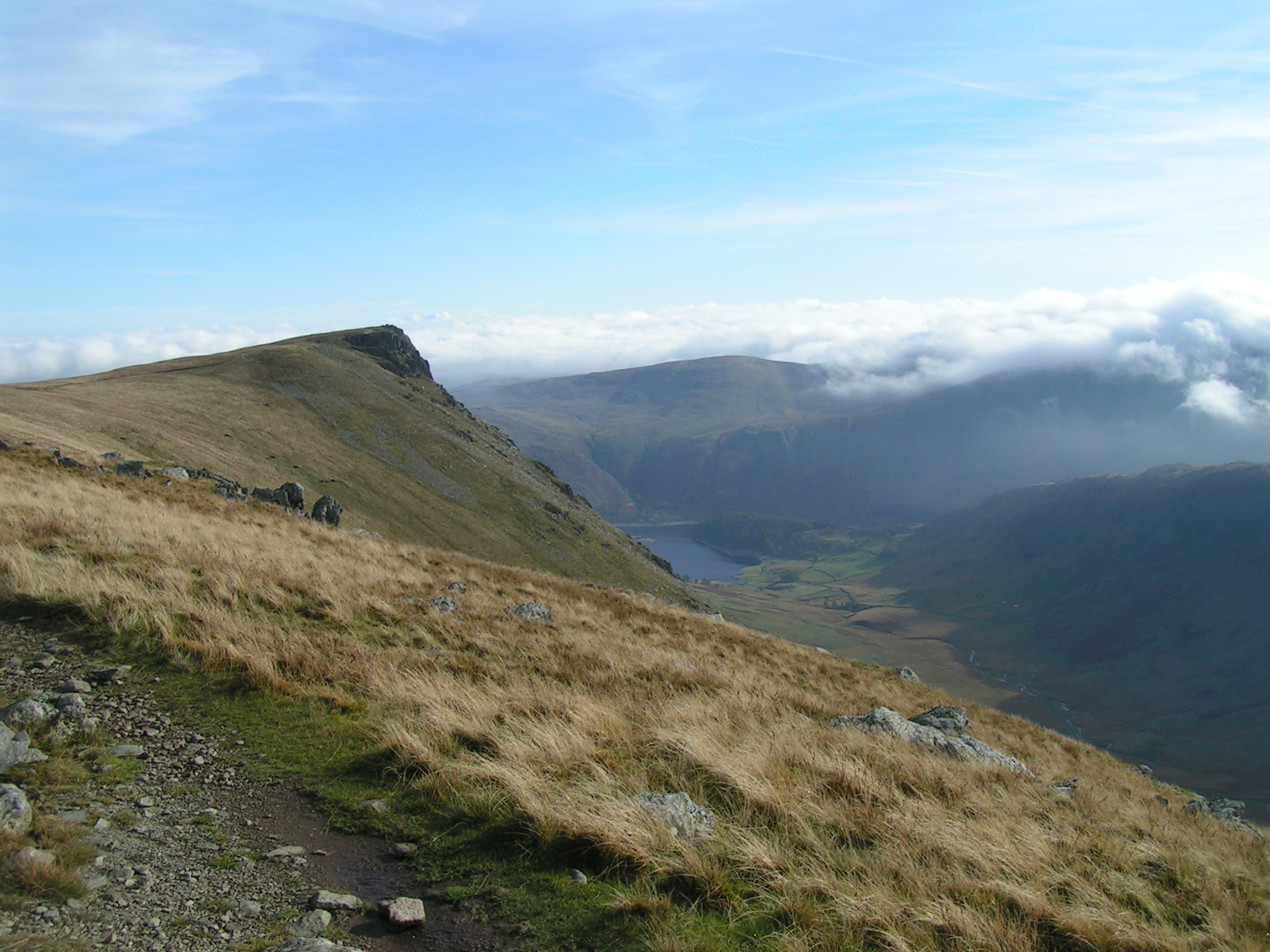
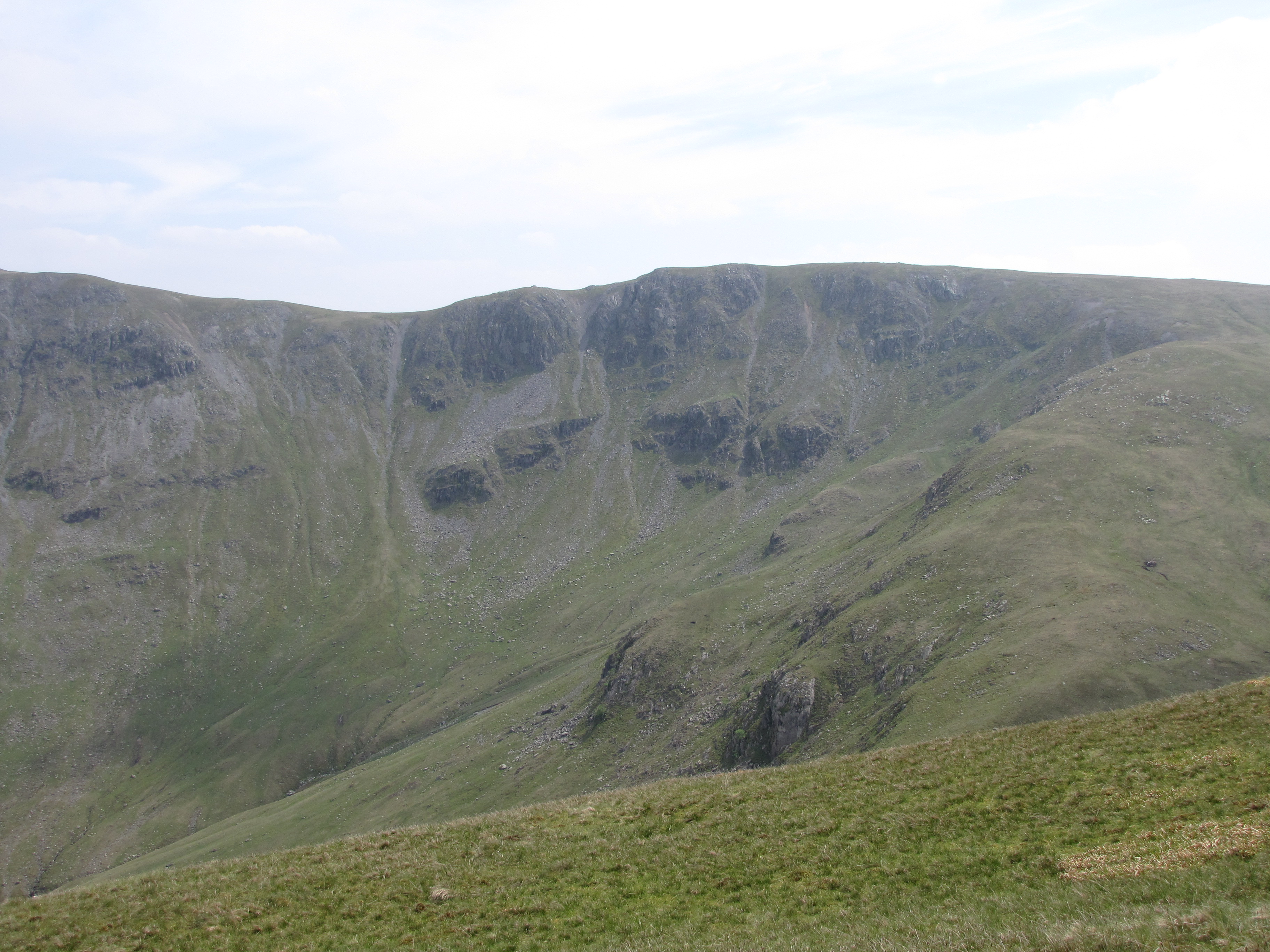
Castle Crag Images

Images are sourced within 2km of 54.507278/-2.8211715 or Grid Reference NY4612. Thanks to Geograph Open Source API. All images are credited.

The Rigg View across Haweswater
The Rigg
View across Haweswater
Head of Haweswater
Head of Haweswater
Speaking Crag and Haweswater
Haweswater
Haweswater
Cairn on Eagle Crag
Cairn on Eagle Crag
Falling water levels at Mardale Head A number of walls and tracks of the submerged village of Mardale Green are visible
Falling water levels at Mardale Head
A number of walls and tracks of the submerged village of Mardale Green are visible
View towards Whelter Crags on the east face of Low Raise
View across Haweswater to Riggindale and High Street
Looking up Haweswater to its head
Dudderwick The lower end of the long and testing ridge which culminates in Long Stile and High Street.
Dudderwick
The lower end of the long and testing ridge which culminates in Long Stile and High Street.
View over the head of Haweswater to Mardale Ill Bell
Head of Haweswater Reservoir, 1994 View SW, on the road built along Mardale when the reservoir was created for Manchester Corporation. On the left is Harter Fell (2,509 ft.) and on the right High Street (a strange name, 2,708 ft.).
Head of Haweswater Reservoir, 1994
View SW, on the road built along Mardale when the reservoir was created for Manchester Corporation. On the left is Harter Fell (2,509 ft.) and on the right High Street (a strange name, 2,708 ft.).
Mardale Head to Haweswater From the Gatesgarth Pass path looking back to the Mardale Head and Haweswater
Mardale Head to Haweswater
From the Gatesgarth Pass path looking back to the Mardale Head and Haweswater
The Rigg Looking across Haweswater to The Rigg
The Rigg
Looking across Haweswater to The Rigg
Haweswater Reservoir Looking along the Easter shoreline of the Haweswater Reservoir
Haweswater Reservoir
Looking along the Easter shoreline of the Haweswater Reservoir
Ruin beside old corpse road There are two such ruined buildings close to the corpse road between Hawsewater and Swindale; the lower of them is seen from rocks close to the higher one. Haweswater lies below.
Ruin beside old corpse road
There are two such ruined buildings close to the corpse road between Hawsewater and Swindale; the lower of them is seen from rocks close to the higher one. Haweswater lies below.
Landslip in Mardale The winter storms of 2015/2016 brought much havoc to Cumbria. In Mardale, the valley with the Haweswater Reservoir, a landslip from the slopes of Branstree brought material down on to the road. At the time this image was made - mid February 2016 - the road reaching the valley head was closed to traffic which meant that the car park there was also inaccessible. Work on clearing the debris was ongoing and on the slope itself there was consolidation activity too,
Landslip in Mardale
The winter storms of 2015/2016 brought much havoc to Cumbria. In Mardale, the valley with the Haweswater Reservoir, a landslip from the slopes of Branstree brought material down on to the road. At the time this image was made - mid February 2016 - the road reaching the valley head was closed to traffic which meant that the car park there was also inaccessible. Work on clearing the debris was ongoing and on the slope itself there was consolidation activity too,
Gnarled trees The trees are on the slope to the east of Haweswater, above Guerness Wood, close to a stream.
Gnarled trees
The trees are on the slope to the east of Haweswater, above Guerness Wood, close to a stream.
Show me another place!

Castle Crag is located at Grid Ref: NY4612 (Lat: 54.507278, Lng: -2.8211715)

Administrative County: Cumbria

District: Eden

Police Authority: Cumbria

What 3 Words

///reboot.narrating.honestly. Near Shap, Cumbria

Nearby Locations

Castle Crag

Related Wikis

Nearby Amenities

Located within 500m of 54.507278,-2.8211715
Access: yes
Barrier: entrance
Lat/Long: 54.5087522/-2.8189476
Flakehowe Crags
Place: locality
Lat/Long: 54.5032038/-2.8194033
Ford: yes
Lat/Long: 54.5105795/-2.8196618
Ford: yes
Lat/Long: 54.5111871/-2.8193482
Lady's Seat
Place: locality
Lat/Long: 54.5053071/-2.8232816
The data included in this document is from www.openstreetmap.org. The data is made available under ODbL.

Have you been to Castle Crag?

Leave your review of Castle Crag below (or comments, questions and feedback).