Brown Hill

Hill, Mountain in Aberdeenshire

Scotland

Brown Hill

Euroforest on Aswanley Estate The track on the left leads down into forest, with ongoing forestry operations, and associated Health & Safety signs.
Euroforest on Aswanley Estate Credit: Peter Barr

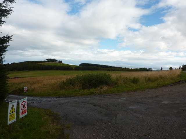
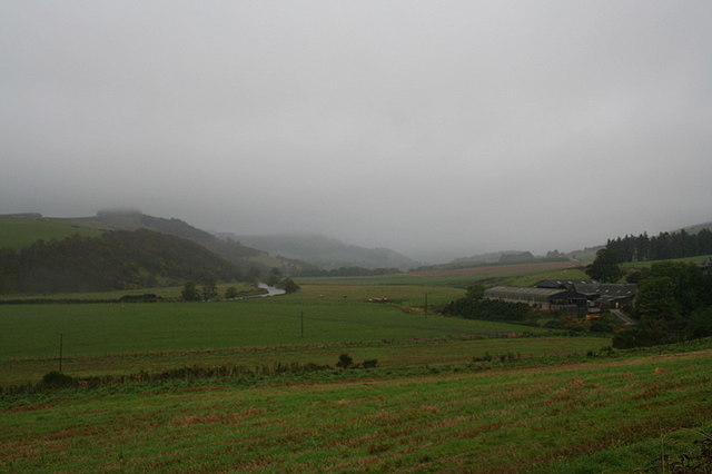
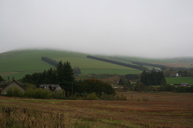
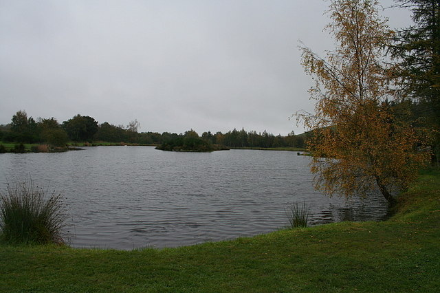
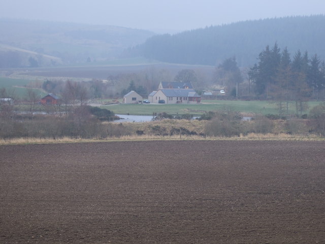
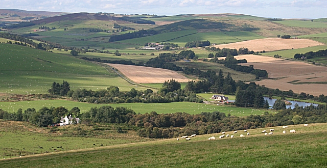
Brown Hill is a prominent hill located in Aberdeenshire, Scotland. Standing at an elevation of approximately 440 meters (1,444 feet), it is part of the larger range known as the Brown and White Hills. The hill is situated in a remote and rural area, offering breathtaking views of the surrounding countryside.

Composed mainly of granite, Brown Hill features a distinct rocky terrain. It is covered in heather and grasses, providing a habitat for a variety of wildlife, including birds, small mammals, and insects. The hill is also home to a diverse range of plant species, contributing to its ecological significance.

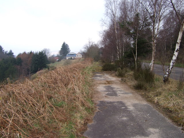
Hiking enthusiasts and outdoor adventurers are drawn to Brown Hill for its challenging ascent and the rewarding panoramic vistas it offers from the summit. The hill can be accessed via a network of paths and trails, providing options for both experienced climbers and casual walkers.

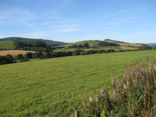
The summit of Brown Hill offers a spectacular 360-degree view of the Aberdeenshire countryside, with rolling hills, lush green valleys, and distant mountains dotting the landscape. On clear days, it is possible to spot landmarks such as the Cairngorms National Park and the Grampian Mountains.

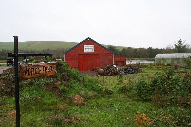
Although Brown Hill is not as well-known or frequently visited as some of the nearby mountains, it provides a tranquil and idyllic escape for those seeking a peaceful retreat in nature.

If you have any feedback on the listing, please let us know in the comments section below.
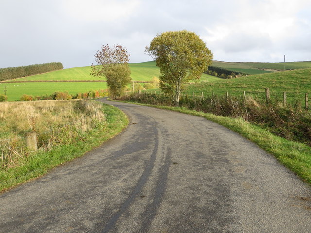
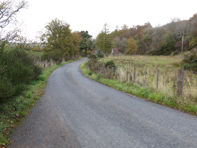
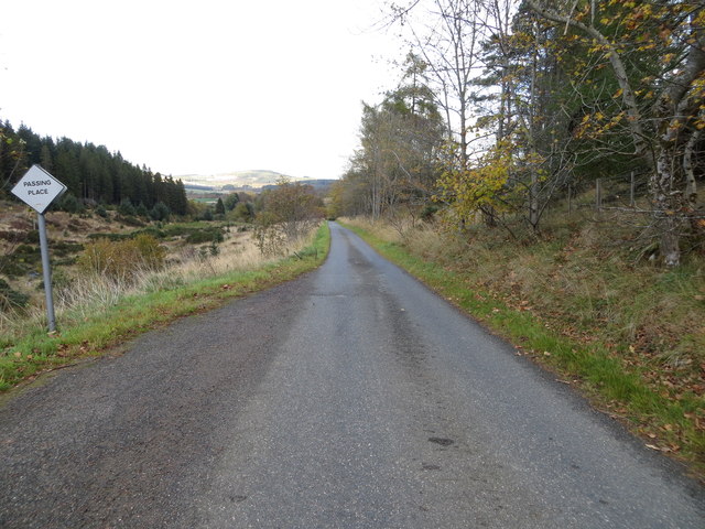
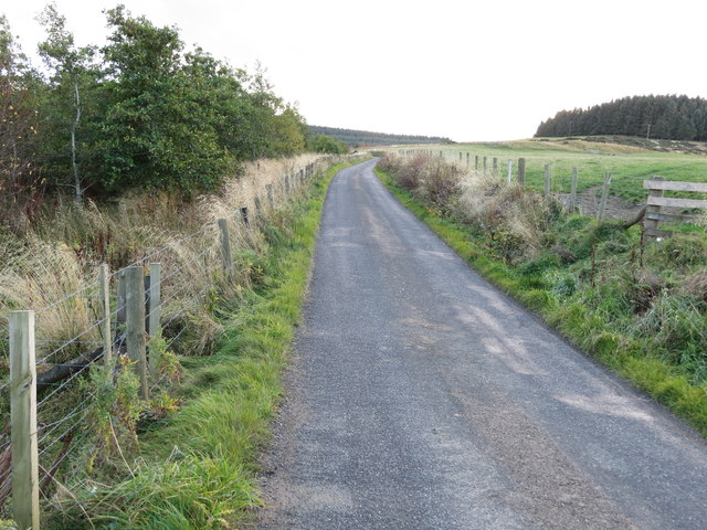
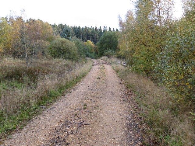
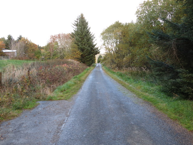
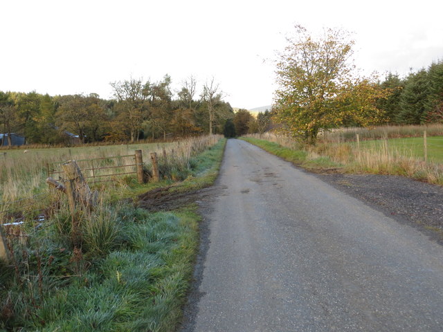
Brown Hill Images

Images are sourced within 2km of 57.436783/-2.8856654 or Grid Reference NJ4638. Thanks to Geograph Open Source API. All images are credited.

Euroforest on Aswanley Estate The track on the left leads down into forest, with ongoing forestry operations, and associated Health & Safety signs.
Euroforest on Aswanley Estate
The track on the left leads down into forest, with ongoing forestry operations, and associated Health & Safety signs.
Lane leading to Wellheads Looking eastward.
Lane leading to Wellheads
Looking eastward.
Minor road approaching Tigh Fada Looking north-eastward.
Minor road approaching Tigh Fada
Looking north-eastward.
Minor road between Lower Gordonsburn and Tigh Fada Looking north-eastward.
Minor road between Lower Gordonsburn and Tigh Fada
Looking north-eastward.
Minor road between Lower Gordonsburn and Bailiesward Looking south-westward.
Minor road between Lower Gordonsburn and Bailiesward
Looking south-westward.
Forest track heading towards Torry Hillock and Brown Hill Looking southward.
Forest track heading towards Torry Hillock and Brown Hill
Looking southward.
Minor road approaching Cairnagat Steading Looking north-eastward.
Minor road approaching Cairnagat Steading
Looking north-eastward.
Minor road between Malach and Aswanley Croft Looking north-eastward.
Minor road between Malach and Aswanley Croft
Looking north-eastward.
Ordnance Survey Cut Mark This mark can be found on the wall of a roadside building at Tigh Fada. The benchmark height is recorded as being 176.772 metres above sea level.
For more detail see : <span class="nowrap"><a title="https://www.bench-marks.org.uk/bm101700" rel="nofollow ugc noopener" href="https://www.bench-marks.org.uk/bm101700">Link</a><img style="margin-left:2px;" alt="External link" title="External link - shift click to open in new window" src="https://s1.geograph.org.uk/img/external.png" width="10" height="10"/></span>
Ordnance Survey Cut Mark
This mark can be found on the wall of a roadside building at Tigh Fada. The benchmark height is recorded as being 176.772 metres above sea level. For more detail see : LinkExternal link
From A920 farmland
From A920 farmland
The River Deveron flowing to the south of Cairnborrow Farm.
Milton of Cairnborrow on the left, Mains of Artloch to the right.
Artloch Trout Fishery. Situated on the southern banks of the River Deveron this fishery has richly deserved the glowing reputation which it enjoys.
Artloch Trout Fishery.
Situated on the southern banks of the River Deveron this fishery has richly deserved the glowing reputation which it enjoys.
The fishing hut at Artloch.
Artloch Fishings.
Artloch Fishings.
Approach to Milton of Cairnborrow Along an old section of the A920 (new road to the right).
Approach to Milton of Cairnborrow
Along an old section of the A920 (new road to the right).
Artloch Viewed from near Milton of Cairnborrow on a hazy spring day.
Artloch
Viewed from near Milton of Cairnborrow on a hazy spring day.
The Strath of the Deveron from Clashmach Hill This is from near the north end of the long ridge which makes up Clashmach Hill.
The stretch of water at extreme right is the Artloch Trout Fishery, and the big farm upriver is Mains of Cairnborrow.
The Strath of the Deveron from Clashmach Hill
This is from near the north end of the long ridge which makes up Clashmach Hill. The stretch of water at extreme right is the Artloch Trout Fishery, and the big farm upriver is Mains of Cairnborrow.
Show me another place!

Brown Hill is located at Grid Ref: NJ4638 (Lat: 57.436783, Lng: -2.8856654)

Unitary Authority: Aberdeenshire

Police Authority: North East

What 3 Words

///downturn.boxer.feasted. Near Huntly, Aberdeenshire

Nearby Locations

Glac-na-far Brown Hill

Related Wikis

Torry Burn, Huntly

Torry Burn is a burn which marks the boundary of the parish of Huntly, Aberdeenshire, Scotland. == References ==

Kye Hill

Kye Hill is a hill by Huntly, Aberdeenshire, Scotland. It lies southwest of The Clashmach hill and is nearly the same height. There is a former limestone...

Blairmore School

Blairmore School was an independent boarding preparatory school in Glass near Huntly, Aberdeenshire until its closure in 1993. The site is now owned and...

Dunbennan

Dunbennan is a settlement near Huntly, Aberdeenshire, Scotland. The name comes from the Gaelic dun-beinnean, or the fort of the little hill, and originally...

Beldorney Castle

Beldorney Castle is a Z-plan castle dating from the mid-16th century, about two miles south of Glass, in hilly country in the valley of the Deveron, in...

Burn of Tullochbeg

Burn of Tullochbeg is a burn which marks the boundary of the parish of Huntly, Aberdeenshire, Scotland. == References ==

Glass, Aberdeenshire

Glass is a parish about 8 miles west of Huntly, Aberdeenshire, Scotland. It is now wholly located in Aberdeenshire but before the reorganisation of Scottish...

Ardonald

Ardonald is a rural area near Cairnie in Aberdeenshire, Scotland. == References ==

Have you been to Brown Hill?

Leave your review of Brown Hill below (or comments, questions and feedback).