Glac-na-far

Valley in Aberdeenshire

Scotland

Glac-na-far

Euroforest on Aswanley Estate The track on the left leads down into forest, with ongoing forestry operations, and associated Health & Safety signs.
Euroforest on Aswanley Estate Credit: Peter Barr

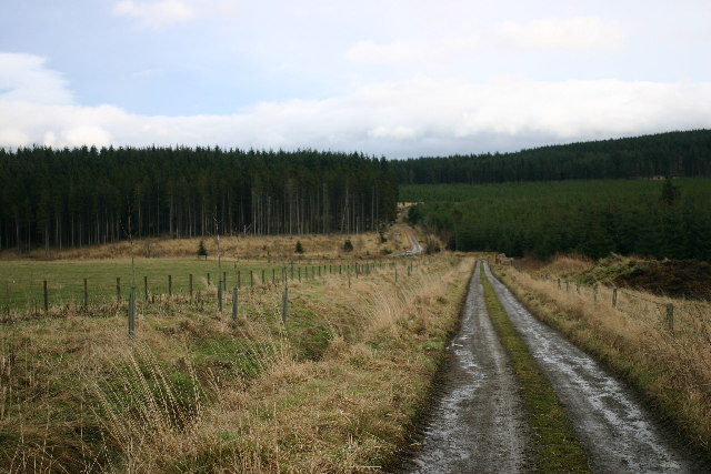
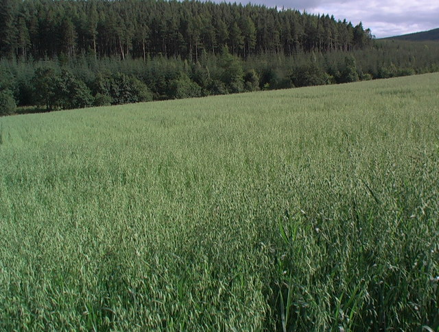
Glac-na-far is a picturesque valley located in Aberdeenshire, Scotland. Nestled in the heart of the Cairngorms National Park, this stunning glacial valley offers visitors a unique and breathtaking experience.

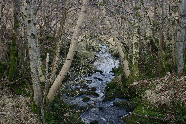
Surrounded by towering mountains and dense forests, Glac-na-far is renowned for its exceptional natural beauty. The valley is characterized by its rugged landscape, with deep gorges, cascading waterfalls, and crystal-clear streams meandering through the region. The area is also home to an abundance of wildlife, including red deer, golden eagles, and Scottish wildcats.

One of the main attractions of Glac-na-far is its extensive network of hiking trails. These trails cater to all levels of fitness and provide an opportunity for visitors to explore the valley's stunning scenery up close. The most popular trail is the Glac-na-far Loop, a moderate hike that showcases the valley's highlights, including panoramic views of the surrounding mountains and a visit to the enchanting Fairy Glen.

For those seeking a more adventurous experience, Glac-na-far offers opportunities for rock climbing, mountain biking, and fishing in its pristine rivers and lochs. The valley is also a gateway to the Cairngorms, with access to ski resorts and winter sports activities during the colder months.

Glac-na-far is a place of tranquility and natural wonder, offering visitors a chance to escape the hustle and bustle of everyday life and immerse themselves in the beauty of the Scottish Highlands. Whether you are a nature enthusiast, an outdoor adventurer, or simply seeking a peaceful retreat, Glac-na-far has something to offer everyone.

If you have any feedback on the listing, please let us know in the comments section below.
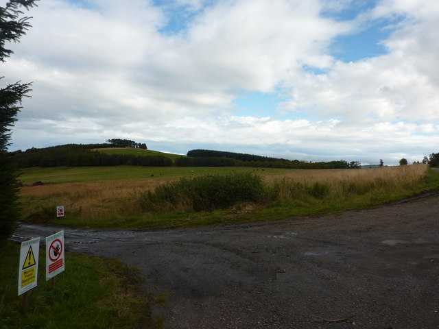
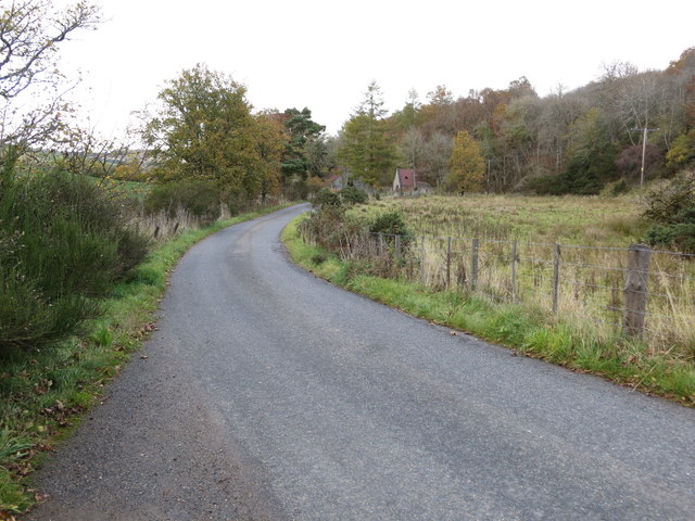
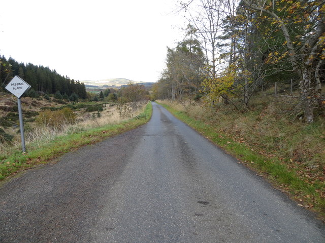
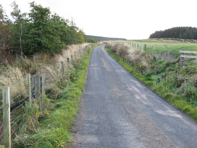
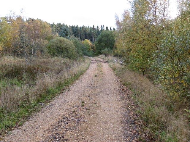
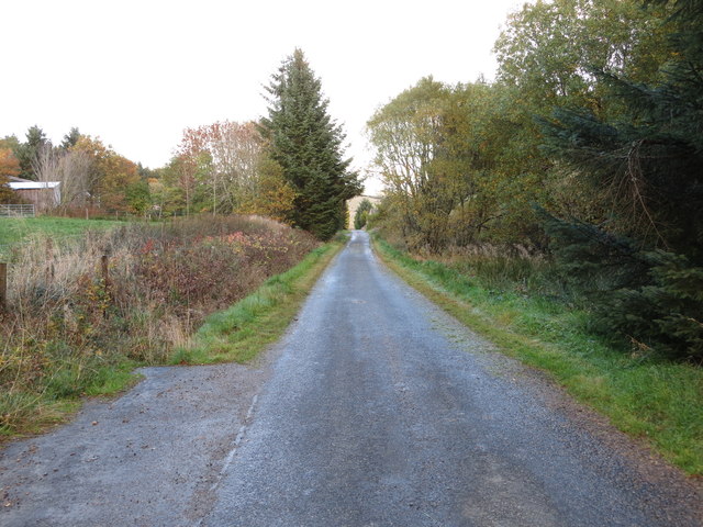
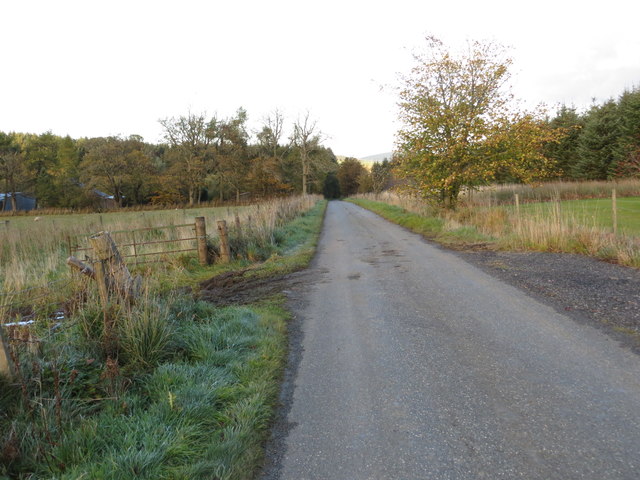
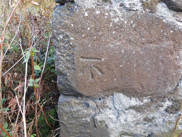
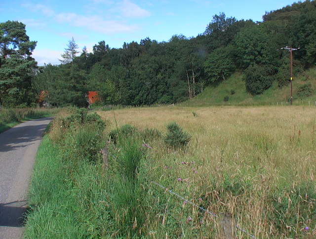
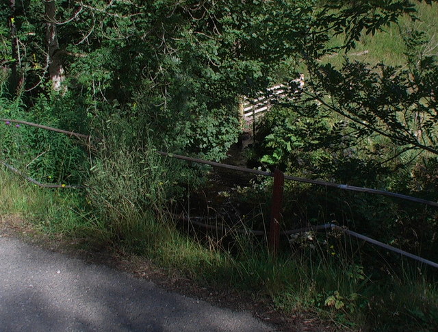
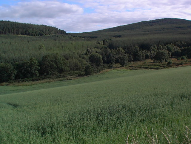
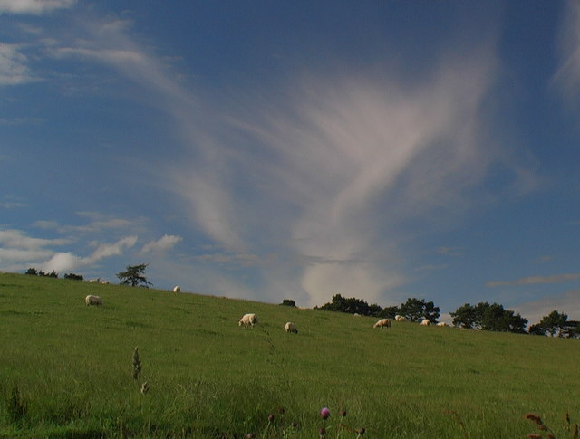
Glac-na-far Images

Images are sourced within 2km of 57.435/-2.8926014 or Grid Reference NJ4638. Thanks to Geograph Open Source API. All images are credited.

Euroforest on Aswanley Estate The track on the left leads down into forest, with ongoing forestry operations, and associated Health & Safety signs.
Euroforest on Aswanley Estate
The track on the left leads down into forest, with ongoing forestry operations, and associated Health & Safety signs.
Minor road approaching Tigh Fada Looking north-eastward.
Minor road approaching Tigh Fada
Looking north-eastward.
Minor road between Lower Gordonsburn and Tigh Fada Looking north-eastward.
Minor road between Lower Gordonsburn and Tigh Fada
Looking north-eastward.
Minor road between Lower Gordonsburn and Bailiesward Looking south-westward.
Minor road between Lower Gordonsburn and Bailiesward
Looking south-westward.
Forest track heading towards Torry Hillock and Brown Hill Looking southward.
Forest track heading towards Torry Hillock and Brown Hill
Looking southward.
Minor road approaching Cairnagat Steading Looking north-eastward.
Minor road approaching Cairnagat Steading
Looking north-eastward.
Minor road between Malach and Aswanley Croft Looking north-eastward.
Minor road between Malach and Aswanley Croft
Looking north-eastward.
Ordnance Survey Cut Mark This mark can be found on the wall of a roadside building at Tigh Fada. The benchmark height is recorded as being 176.772 metres above sea level.
For more detail see : <span class="nowrap"><a title="https://www.bench-marks.org.uk/bm101700" rel="nofollow ugc noopener" href="https://www.bench-marks.org.uk/bm101700">Link</a><img style="margin-left:2px;" alt="External link" title="External link - shift click to open in new window" src="https://s1.geograph.org.uk/img/external.png" width="10" height="10"/></span>
Ordnance Survey Cut Mark
This mark can be found on the wall of a roadside building at Tigh Fada. The benchmark height is recorded as being 176.772 metres above sea level. For more detail see : LinkExternal link
End of the public road near Bailiesward Looking ENE from position
End of the public road near Bailiesward
Looking ENE from position
Glen Burn Looking W from position
Glen Burn
Looking W from position
Forest track on Bowman Hillock The timber lorry had just finished loading - the load being weighed automatically as each log was loaded to ensure compliance with road safety regulations.
Forest track on Bowman Hillock
The timber lorry had just finished loading - the load being weighed automatically as each log was loaded to ensure compliance with road safety regulations.
Forest edge on Bowman Hillock
Derelict building Maybe well-worn is a kinder description - the structure is solid granite though the roof is of less time-thwarting material.
Derelict building
Maybe well-worn is a kinder description - the structure is solid granite though the roof is of less time-thwarting material.
Overgrown pasture on small haugh of Glen Burn
The Glen Burn bridged
Burn course through forestry Trace the burn course by the line of deciduous trees laced through the plantations.
Burn course through forestry
Trace the burn course by the line of deciduous trees laced through the plantations.
Sheep grazing under a northern sky
A medley of crops and timescales Annual cereal crop looking across to ten-year and forty-year forestry - guessing the ages!
A medley of crops and timescales
Annual cereal crop looking across to ten-year and forty-year forestry - guessing the ages!
Show me another place!

Glac-na-far is located at Grid Ref: NJ4638 (Lat: 57.435, Lng: -2.8926014)

Unitary Authority: Aberdeenshire

Police Authority: North East

What 3 Words

///skidding.flows.provide. Near Huntly, Aberdeenshire

Nearby Locations

Brown Hill Glac-na-far

Related Wikis

Torry Burn, Huntly

Torry Burn is a burn which marks the boundary of the parish of Huntly, Aberdeenshire, Scotland. == References ==

Kye Hill

Kye Hill is a hill by Huntly, Aberdeenshire, Scotland. It lies southwest of The Clashmach hill and is nearly the same height. There is a former limestone...

Blairmore School

Blairmore School was an independent boarding preparatory school in Glass near Huntly, Aberdeenshire until its closure in 1993. The site is now owned and...

Beldorney Castle

Beldorney Castle is a Z-plan castle dating from the mid-16th century, about two miles south of Glass, in hilly country in the valley of the Deveron, in...

Glass, Aberdeenshire

Glass is a parish about 8 miles west of Huntly, Aberdeenshire, Scotland. It is now wholly located in Aberdeenshire but before the reorganisation of Scottish...

Dunbennan

Dunbennan is a settlement near Huntly, Aberdeenshire, Scotland. The name comes from the Gaelic dun-beinnean, or the fort of the little hill, and originally...

Ardonald

Ardonald is a rural area near Cairnie in Aberdeenshire, Scotland. == References ==

Burn of Tullochbeg

Burn of Tullochbeg is a burn which marks the boundary of the parish of Huntly, Aberdeenshire, Scotland. == References ==

Have you been to Glac-na-far?

Leave your review of Glac-na-far below (or comments, questions and feedback).