Helsington Moss
Downs, Moorland in Westmorland South Lakeland
England
Helsington Moss
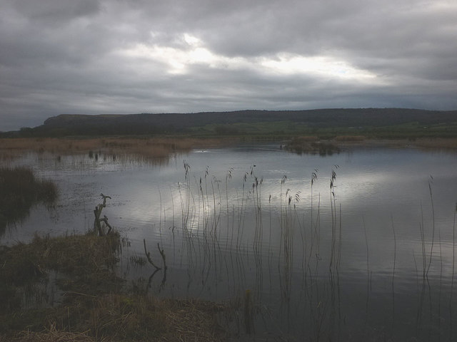
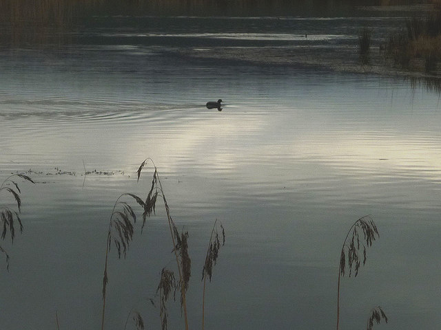
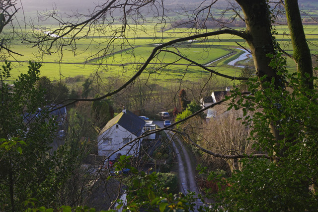
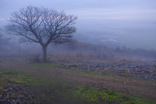
Helsington Moss is a picturesque and enchanting area situated in Westmorland, England. Nestled within the Downs and Moorland region, it is renowned for its natural beauty and diverse ecosystem. Spanning approximately 200 acres, this mossland is a haven for wildlife and offers a tranquil escape for nature enthusiasts.
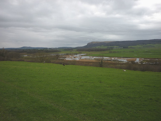
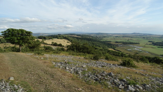
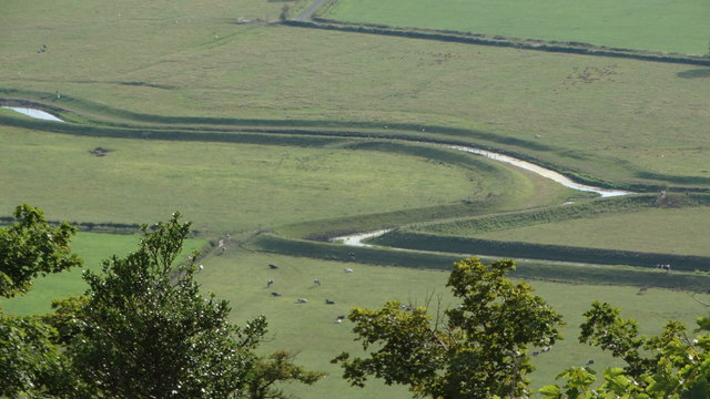
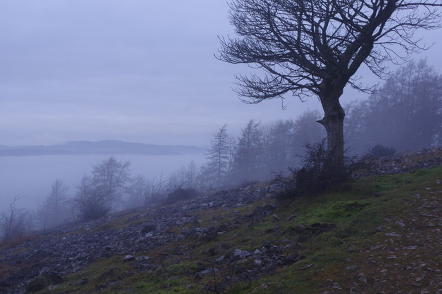
The landscape of Helsington Moss is characterized by its rolling hills, lush meadows, and expansive marshes. The area is dotted with a myriad of plant species, including heather, cotton grass, and sphagnum moss, which thrive in the damp and acidic conditions of the mossland. This unique blend of vegetation creates a vibrant tapestry of colors throughout the seasons.
The rich biodiversity of Helsington Moss is also evident in its fauna. The area is home to numerous bird species, such as curlews, lapwings, and skylarks, which can be observed soaring through the skies or perched on fence posts. The mossland also provides a habitat for small mammals like voles and shrews, as well as amphibians like frogs and newts.
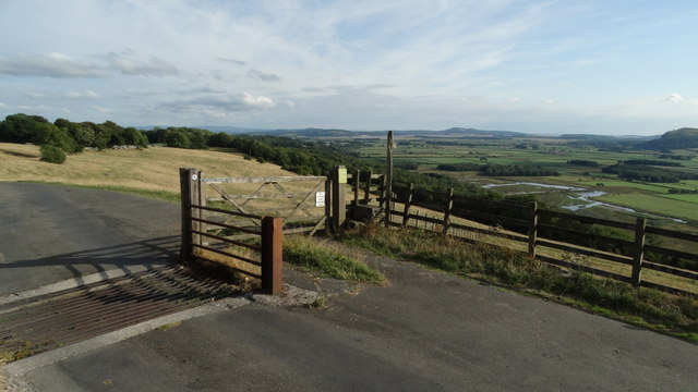
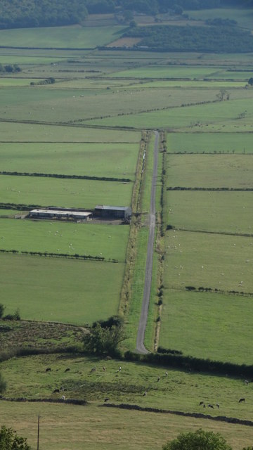
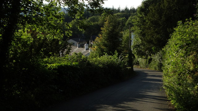
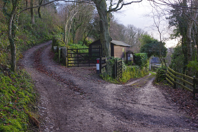
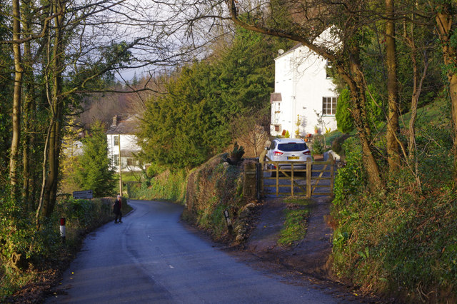
Visitors to Helsington Moss can explore its beauty through various walking trails and footpaths that crisscross the area. These paths offer stunning vistas of the surrounding countryside, including panoramic views of the nearby fells and distant mountains. Additionally, the mossland provides ample opportunities for photography, birdwatching, and peaceful picnics amidst nature.
Helsington Moss is a true gem of Westmorland, offering a serene and unspoiled experience to all who venture into its captivating embrace.
If you have any feedback on the listing, please let us know in the comments section below.
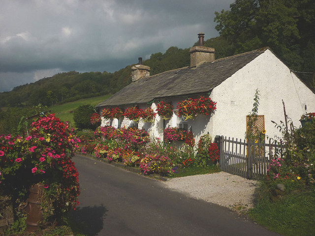
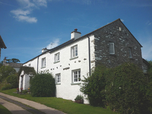
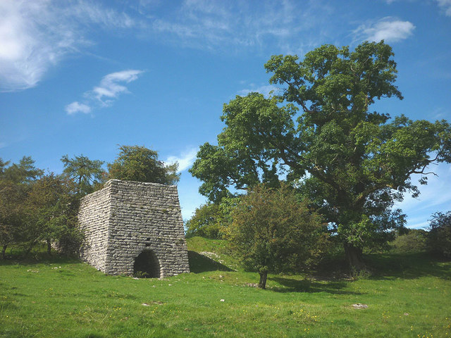
Helsington Moss Images
Images are sourced within 2km of 54.294149/-2.8190134 or Grid Reference SD4689. Thanks to Geograph Open Source API. All images are credited.
Helsington Moss is located at Grid Ref: SD4689 (Lat: 54.294149, Lng: -2.8190134)
Administrative County: Cumbria
District: South Lakeland
Police Authority: Cumbria
What 3 Words
///collected.isolated.rentals. Near Kendal, Cumbria
Nearby Locations
Related Wikis
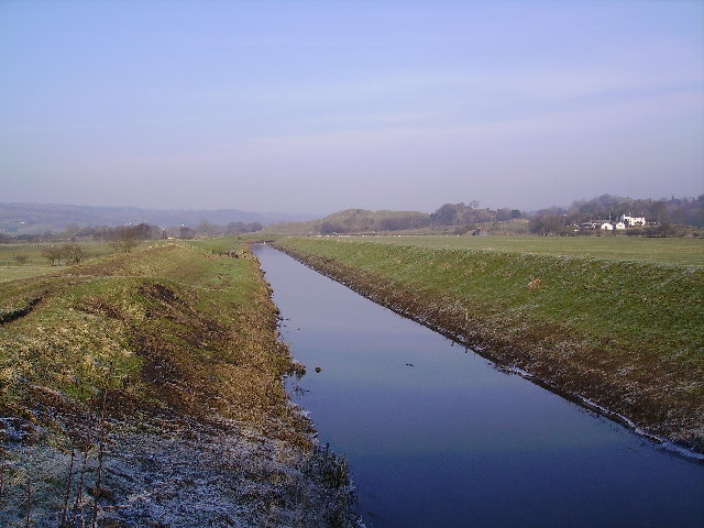
River Pool, Cumbria
The River Pool is a river in the English county of Cumbria. The Pool rises at Waingap near the village of Crook and follows a southerly course, past the...

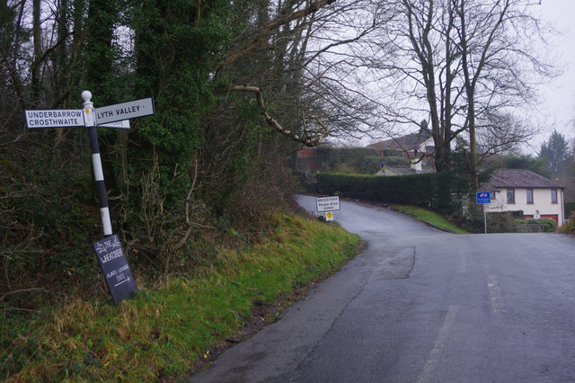
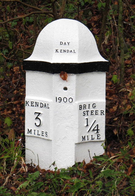
Helsington
Helsington is a civil parish in the South Lakeland district of the English county of Cumbria. It includes the village of Brigsteer and Sizergh Castle...
Brigsteer
Brigsteer is a village in Cumbria, England. On 1 August 2016 it was included in the Lake District National Park. == Politics == In 1974, under the Local...

Lyth Valley
The Lyth Valley is on the edge of the Lake District National Park in Cumbria, England. It gives its name to an electoral ward (one of 45 in South Lakeland...

Crosthwaite and Lyth
Crosthwaite and Lyth is a civil parish in the South Lakeland district of Cumbria, England. In the 2001 census the parish had a population of 562, increasing...

Cotes, Cumbria
Cotes is a hamlet in Cumbria, England. == References ==

Underbarrow
Underbarrow is a small village in Cumbria, England, located 3 miles (4.8 km) west of Kendal. The village is in the Lake District National Park. It is in...

Sizergh
Sizergh Castle is a stately home with garden and estate at Helsington in Cumbria, England, about 4 miles (6 km) south of Kendal. Located in historic...
Nearby Amenities
Located within 500m of 54.294149,-2.8190134Have you been to Helsington Moss?
Leave your review of Helsington Moss below (or comments, questions and feedback).