Underbarrow Moss
Wood, Forest in Westmorland South Lakeland
England
Underbarrow Moss

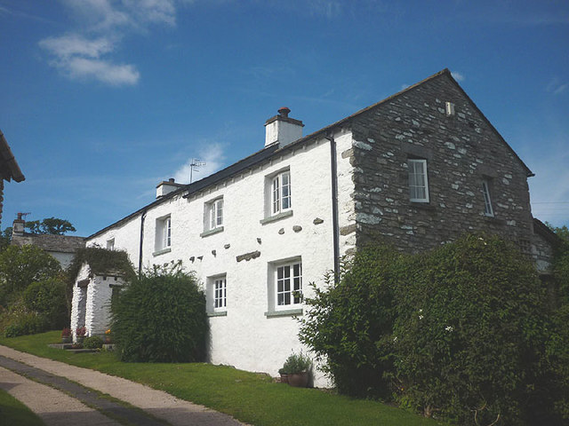
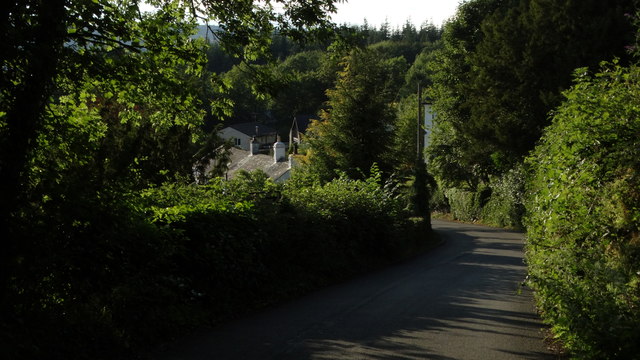
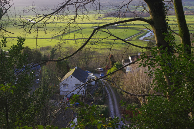
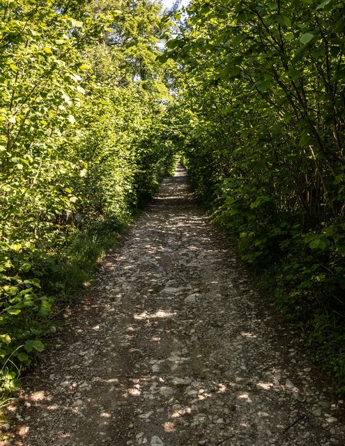
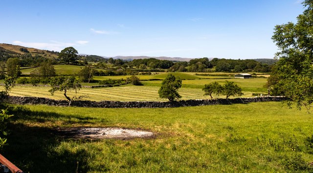
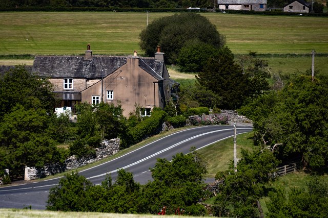
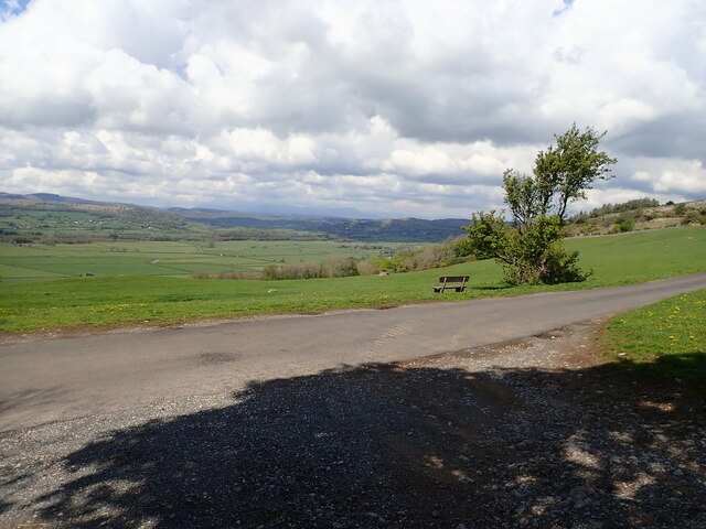
Underbarrow Moss, located in Westmorland, is a captivating woodland area that boasts diverse flora and fauna. This enchanting forest, spanning over several acres, is situated in the northwestern region of England, renowned for its picturesque landscapes.
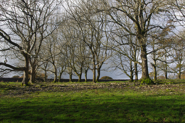
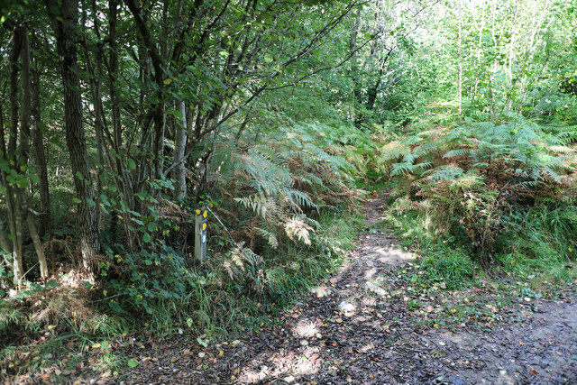
The moss is characterized by its dense canopy of towering trees, primarily consisting of oak, birch, and beech. These majestic trees provide a haven for a multitude of wildlife species, including deer, foxes, badgers, and a variety of bird species. The forest floor is adorned with a lavish carpet of mosses, ferns, and wildflowers, creating a vibrant and lush environment.
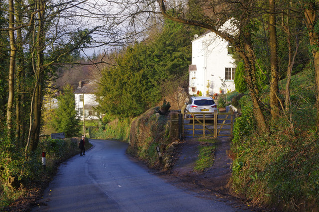
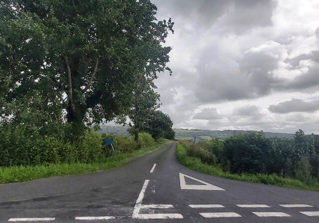
The moss is traversed by several well-maintained trails, allowing visitors to explore the area's natural beauty. These paths wind through the ancient woodland, offering breathtaking views of the surrounding countryside. Nature enthusiasts can admire the diverse range of plant life that thrives within the forest, including bluebells, primroses, and wild garlic.
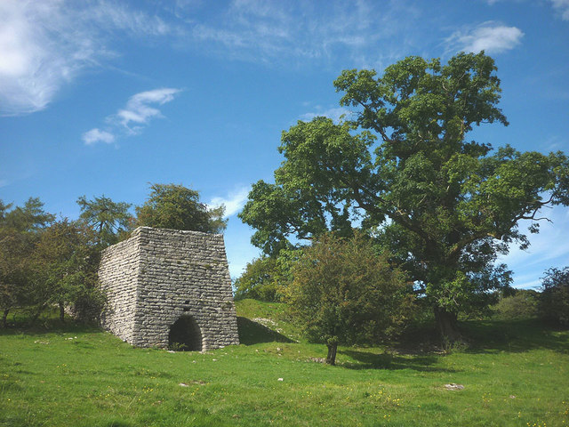
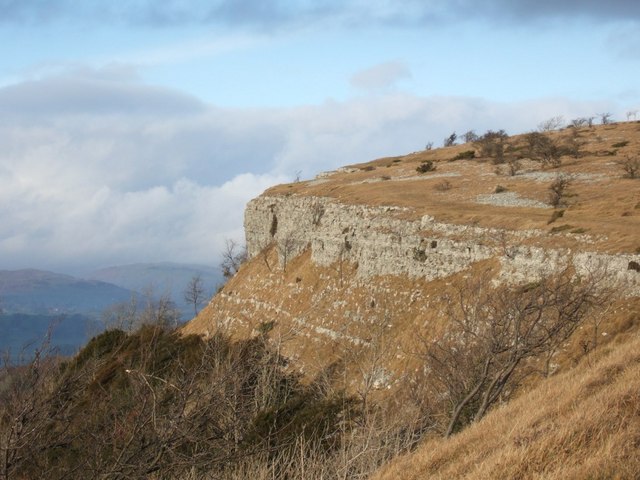
Underbarrow Moss also holds historical significance, with remnants of ancient settlements and burial mounds scattered throughout the area. These archaeological sites provide glimpses into the region's past, offering a fascinating insight into the lives of those who lived here centuries ago.
The moss exudes tranquility and serenity, making it a popular destination for hikers, birdwatchers, and those seeking solace in nature. Its untouched beauty and rich biodiversity make Underbarrow Moss a true gem in the Westmorland countryside, captivating visitors with its ethereal charm.
If you have any feedback on the listing, please let us know in the comments section below.
Underbarrow Moss Images
Images are sourced within 2km of 54.302694/-2.8271587 or Grid Reference SD4689. Thanks to Geograph Open Source API. All images are credited.


Underbarrow Moss is located at Grid Ref: SD4689 (Lat: 54.302694, Lng: -2.8271587)
Administrative County: Cumbria
District: South Lakeland
Police Authority: Cumbria
What 3 Words
///converter.laser.tacky. Near Kendal, Cumbria
Nearby Locations
Related Wikis

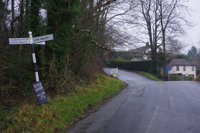
Lyth Valley
The Lyth Valley is on the edge of the Lake District National Park in Cumbria, England. It gives its name to an electoral ward (one of 45 in South Lakeland...

Helsington
Helsington is a civil parish in the South Lakeland district of the English county of Cumbria. It includes the village of Brigsteer and Sizergh Castle...
Brigsteer
Brigsteer is a village in Cumbria, England. On 1 August 2016 it was included in the Lake District National Park. == Politics == In 1974, under the Local...
River Pool, Cumbria
The River Pool is a river in the English county of Cumbria. The Pool rises at Waingap near the village of Crook and follows a southerly course, past the...

Underbarrow
Underbarrow is a small village in Cumbria, England, located 3 miles (4.8 km) west of Kendal. The village is in the Lake District National Park. It is in...

Crosthwaite and Lyth
Crosthwaite and Lyth is a civil parish in the South Lakeland district of Cumbria, England. In the 2001 census the parish had a population of 562, increasing...

Crosthwaite
Crosthwaite is a small village located in the Parish of Crosthwaite and Lyth, South Lakeland, Cumbria, England. It is in the Lake District National Park...
Scout Scar
Scout Scar, also called Underbarrow Scar, is a hill in the English Lake District, west of Kendal, Cumbria and above the village of Underbarrow. It reaches...
Have you been to Underbarrow Moss?
Leave your review of Underbarrow Moss below (or comments, questions and feedback).