Hangingshaw Hill
Hill, Mountain in Selkirkshire
Scotland
Hangingshaw Hill
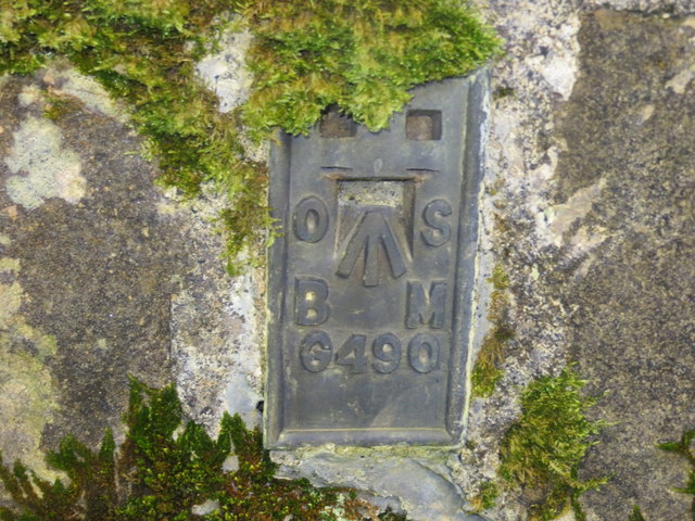
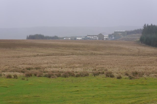
Hangingshaw Hill is a prominent hill located in Selkirkshire, a historic county in the Scottish Borders region of Scotland. Situated about 3 miles southwest of the town of Selkirk, the hill stands at an elevation of approximately 390 meters (1,280 feet) above sea level, making it a notable feature of the surrounding landscape.
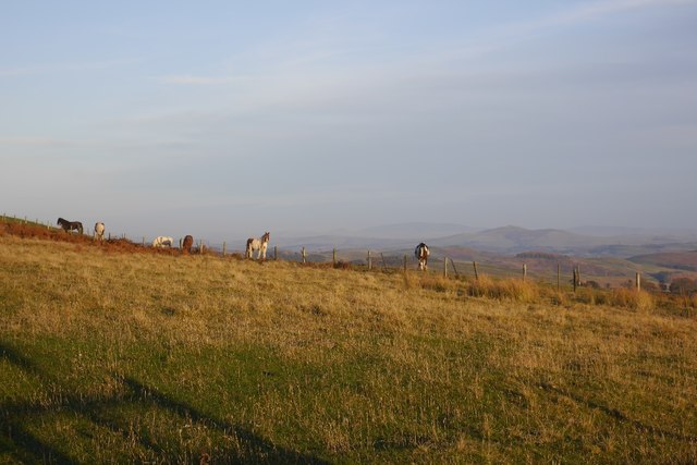
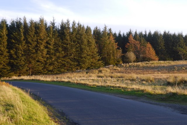
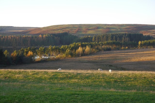
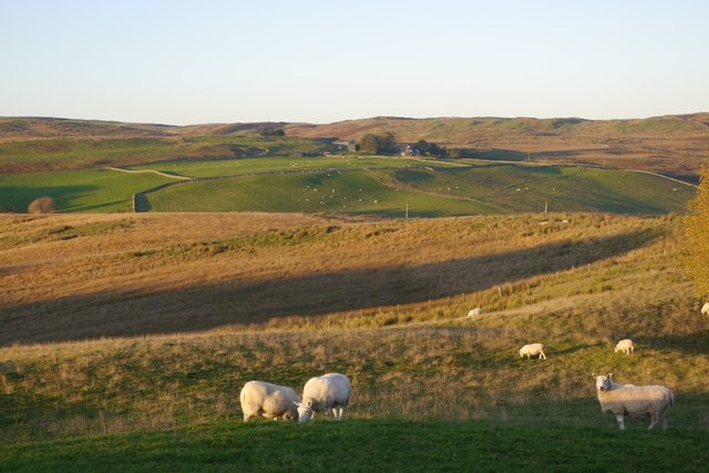
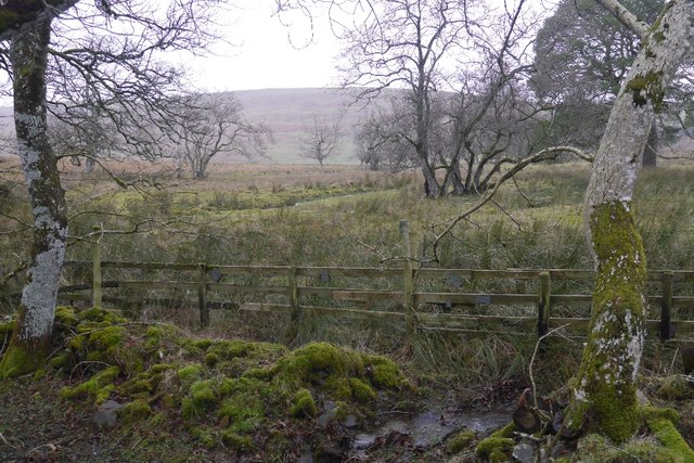
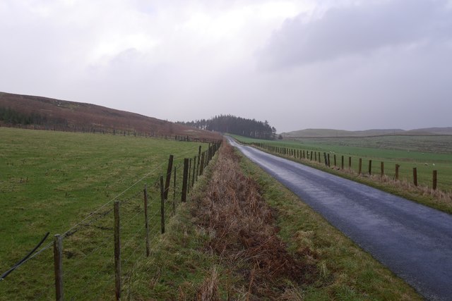
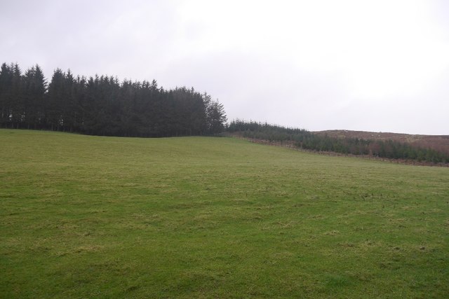
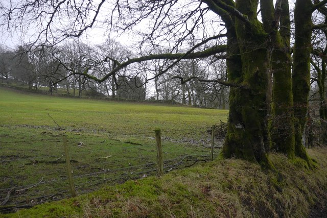
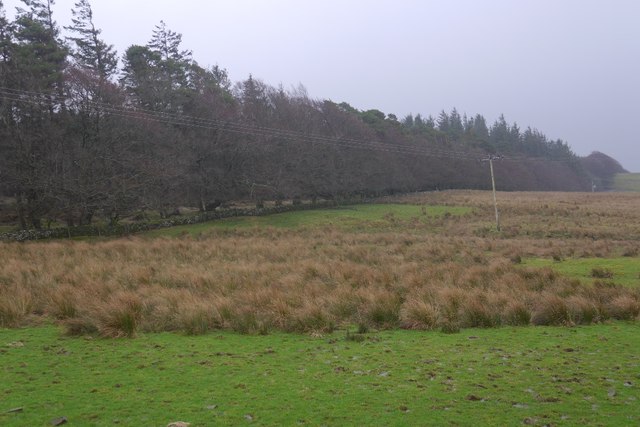
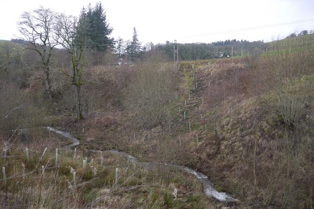
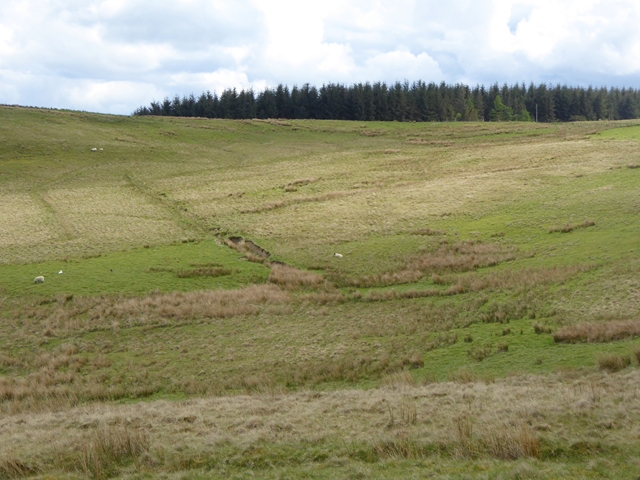
The hill is characterized by its gently sloping terrain, covered in grass and heather, with scattered patches of woodland. It offers panoramic views of the surrounding countryside, including the rolling hills and valleys of the Scottish Borders. On clear days, it is possible to see as far as the Southern Uplands and even some of the nearby border towns.
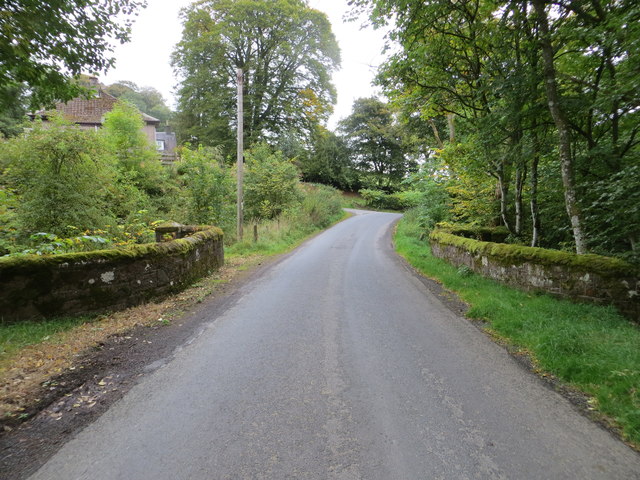
Hangingshaw Hill is popular among outdoor enthusiasts, attracting hikers, walkers, and nature lovers from both the local area and beyond. There are several walking routes and footpaths that traverse the hill, providing opportunities for exploration and enjoying the stunning scenery.
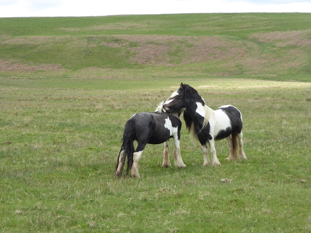
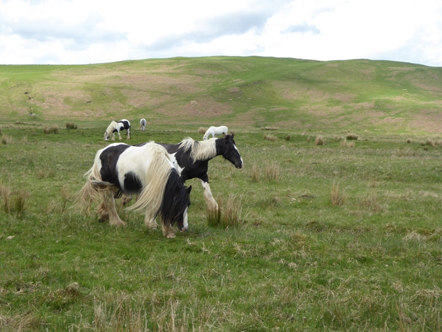
The hill is also known for its rich biodiversity, with a variety of plant and animal species calling it home. It supports a diverse range of birdlife, including buzzards, kestrels, and pheasants. Additionally, it is home to various wildflowers and grasses, which add to the visual appeal of the landscape.
Overall, Hangingshaw Hill is a picturesque and accessible natural feature in Selkirkshire, offering visitors the chance to appreciate the beauty of the Scottish countryside and immerse themselves in its tranquil surroundings.
If you have any feedback on the listing, please let us know in the comments section below.
Hangingshaw Hill Images
Images are sourced within 2km of 55.430846/-2.9152536 or Grid Reference NT4215. Thanks to Geograph Open Source API. All images are credited.


Hangingshaw Hill is located at Grid Ref: NT4215 (Lat: 55.430846, Lng: -2.9152536)
Unitary Authority: The Scottish Borders
Police Authority: The Lothians and Scottish Borders
What 3 Words
///latest.sandbags.nation. Near Hawick, Scottish Borders
Nearby Locations
Related Wikis

Roberton, Scottish Borders
Roberton is a small village in the Scottish Borders area of Scotland, on the B711 and near to the A7, 5 miles (8 kilometres) from Hawick, 22 mi (35 km...

Alemoor Loch
Alemoor Loch, also known as Alemoor Reservoir, is a small reservoir in the Scottish Borders area of Scotland. It is situated on the Ale Water, 10 kilometres...

Burnfoot, Roberton
Burnfoot (Scottish Gaelic: Bun na h-Aibhne) is a hamlet in the Scottish Borders area of Scotland, close to Roberton, by the Borthwick Water. The nearest...

Harden Castle
Harden Castle is a 16th century tower house, about 3.5 miles (5.6 km) west of Hawick, Scottish Borders. It is alternatively known as Harden House or Harden...

Borthwick Water
The Borthwick Water (Border Scots: Borthwick Witter) is a river in the Scottish Borders area of Scotland, and a tributary of the River Teviot. The Aithouse...

Branxholme Castle
Branxholme Castle is a five-storey tower at Branxholme, about 3 miles south-west of Hawick in the Borders region of Scotland. == History == The present...

Newmill-on-Teviot
Newmill-on-Teviot, commonly called Newmill, is a hamlet in the Scottish Borders, 7 kilometres (4.3 mi) south of Hawick on the River Teviot. The remains...

Branxholme
Branxholme is a hamlet in the Scottish Borders area of Scotland, overlooking the River Teviot, three miles southwest of Hawick, on the A7 road to Langholm...
Nearby Amenities
Located within 500m of 55.430846,-2.9152536Have you been to Hangingshaw Hill?
Leave your review of Hangingshaw Hill below (or comments, questions and feedback).