Borthwickshiels Loch
Lake, Pool, Pond, Freshwater Marsh in Selkirkshire
Scotland
Borthwickshiels Loch
Borthwickshiels Loch is a freshwater loch located in Selkirkshire, Scotland. Nestled amidst rolling hills and picturesque landscapes, the loch offers a tranquil and scenic environment for visitors to enjoy. With an area spanning approximately 10 acres, the loch boasts crystal-clear waters that reflect the surrounding natural beauty.
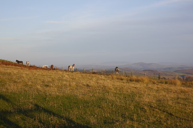
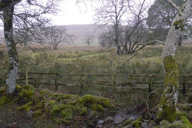
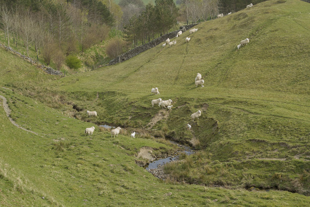
Surrounded by lush vegetation and diverse flora, Borthwickshiels Loch serves as a haven for various wildlife species. The loch is particularly renowned for its abundant birdlife, attracting birdwatchers and nature enthusiasts from near and far. Common sightings include waterfowl such as ducks, geese, and swans, as well as various species of songbirds.
The loch also supports a rich and diverse ecosystem, with numerous fish species inhabiting its waters. Anglers frequent Borthwickshiels Loch in search of trout and pike, which are known to thrive in its depths. Fishing permits are available to visitors who wish to try their hand at catching these prized specimens.
In addition to its natural wonders, Borthwickshiels Loch offers recreational opportunities for visitors. The tranquil surroundings make it an ideal location for leisurely walks, picnics, or simply immersing oneself in the peaceful ambiance. Furthermore, the loch serves as a popular spot for boating enthusiasts, who can traverse its calm waters and take in the surrounding scenery.
Overall, Borthwickshiels Loch is a serene and idyllic destination, offering a unique blend of natural beauty and recreational activities. Whether one seeks tranquility, wildlife observation, or outdoor adventures, this freshwater loch in Selkirkshire provides an enchanting experience for all who visit.
If you have any feedback on the listing, please let us know in the comments section below.
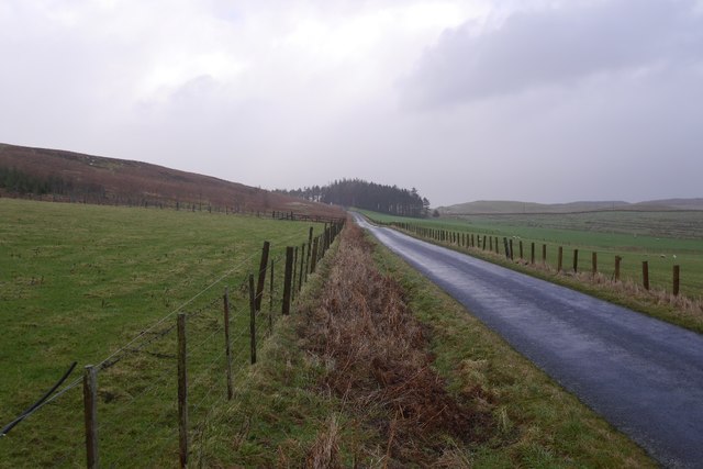
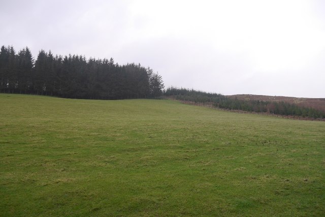
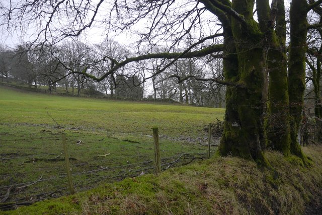
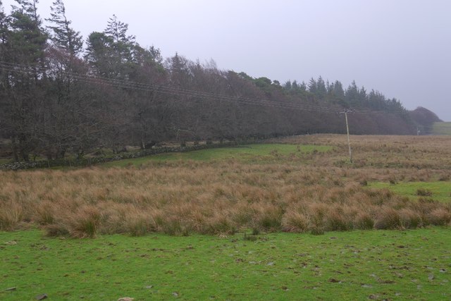
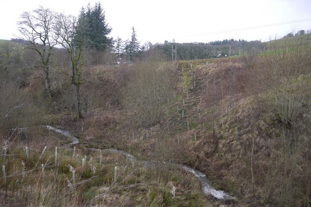
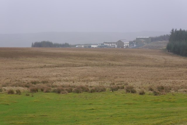
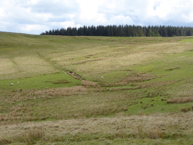
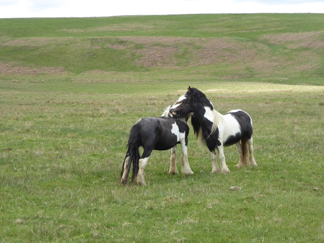
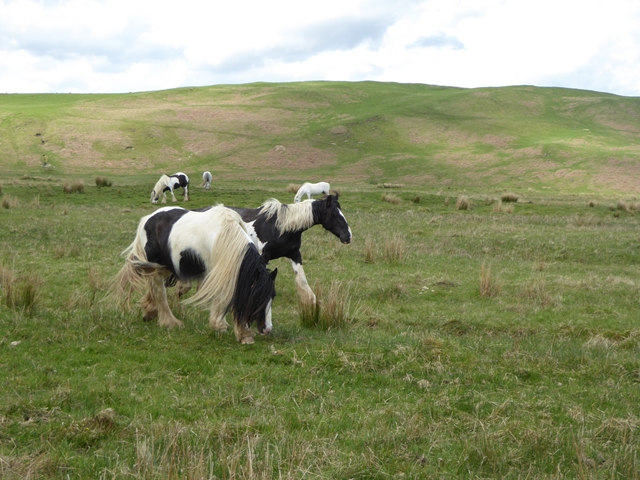
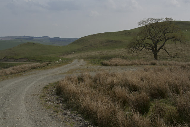
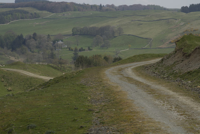
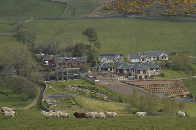
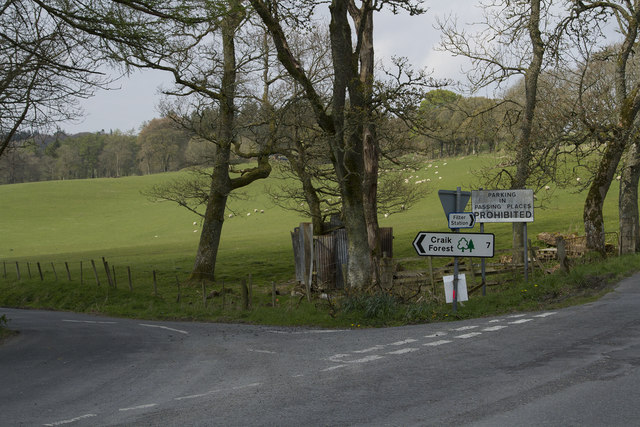
Borthwickshiels Loch Images
Images are sourced within 2km of 55.427338/-2.9096894 or Grid Reference NT4215. Thanks to Geograph Open Source API. All images are credited.
Borthwickshiels Loch is located at Grid Ref: NT4215 (Lat: 55.427338, Lng: -2.9096894)
Unitary Authority: The Scottish Borders
Police Authority: The Lothians and Scottish Borders
What 3 Words
///clincher.archduke.herbs. Near Hawick, Scottish Borders
Nearby Locations
Related Wikis

Roberton, Scottish Borders
Roberton is a small village in the Scottish Borders area of Scotland, on the B711 and near to the A7, 5 miles (8 kilometres) from Hawick, 22 mi (35 km...

Harden Castle
Harden Castle is a 16th century tower house, about 3.5 miles (5.6 km) west of Hawick, Scottish Borders. It is alternatively known as Harden House or Harden...

Burnfoot, Roberton
Burnfoot (Scottish Gaelic: Bun na h-Aibhne) is a hamlet in the Scottish Borders area of Scotland, close to Roberton, by the Borthwick Water. The nearest...

Alemoor Loch
Alemoor Loch, also known as Alemoor Reservoir, is a small reservoir in the Scottish Borders area of Scotland. It is situated on the Ale Water, 10 kilometres...

Borthwick Water
The Borthwick Water (Border Scots: Borthwick Witter) is a river in the Scottish Borders area of Scotland, and a tributary of the River Teviot. The Aithouse...

Branxholme Castle
Branxholme Castle is a five-storey tower at Branxholme, about 3 miles south-west of Hawick in the Borders region of Scotland. == History == The present...

Newmill-on-Teviot
Newmill-on-Teviot, commonly called Newmill, is a hamlet in the Scottish Borders, 7 kilometres (4.3 mi) south of Hawick on the River Teviot. The remains...

Branxholme
Branxholme is a hamlet in the Scottish Borders area of Scotland, overlooking the River Teviot, three miles southwest of Hawick, on the A7 road to Langholm...
Related Videos

Roberton Ride Out. Hawick Common Riding.
Highlights from the first Common Ride of my Scottish Borders Globetrotting holiday aboard the absolutely gorgeous Skye.
Amazing Scotland sight seeing
Roberton, Scotland after Lake District towards Edinburgh.

Roberton, Scotland 🏴 #scotland #robertonascimento #scott
scottish #scotland #naturephotography.
Nearby Amenities
Located within 500m of 55.427338,-2.9096894Have you been to Borthwickshiels Loch?
Leave your review of Borthwickshiels Loch below (or comments, questions and feedback).