Hall Hill
Hill, Mountain in Westmorland South Lakeland
England
Hall Hill
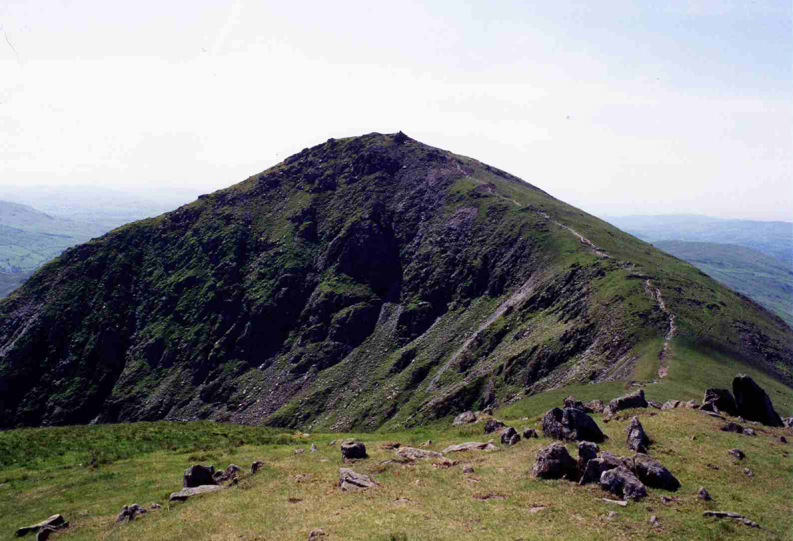
Hall Hill is a prominent hill located in the county of Westmorland, England. Standing at an elevation of approximately 634 meters (2,080 feet), it is regarded as one of the notable hills in the region. The hill is situated within the Lake District National Park, renowned for its breathtaking landscapes and outstanding natural beauty.
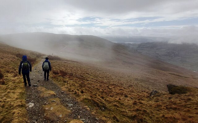
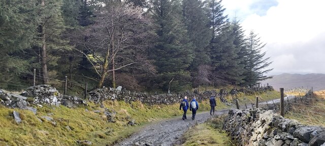
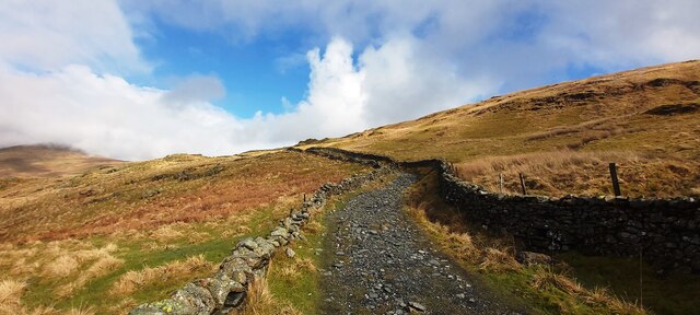
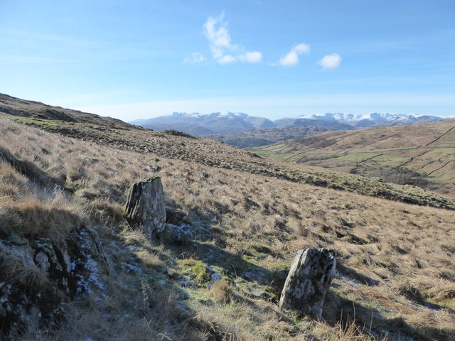
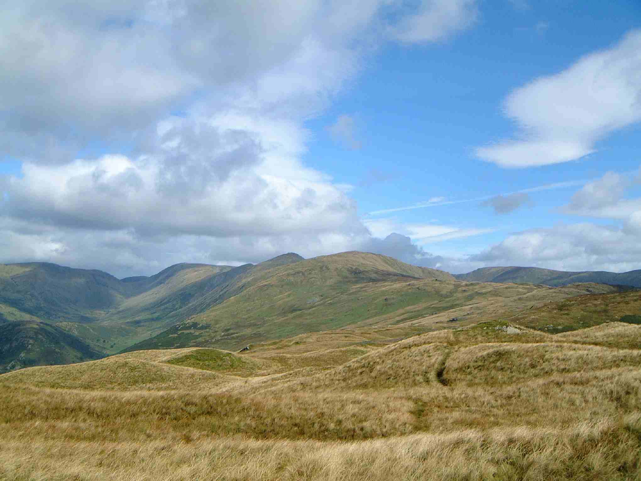
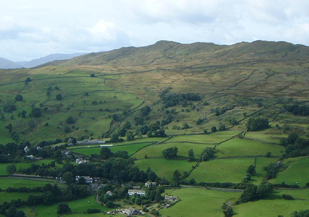
Hall Hill offers stunning panoramic views of the surrounding countryside, including the picturesque valleys and rolling hills that characterize the Lake District. Visitors can enjoy a variety of activities such as hiking, walking, and climbing, with numerous trails and paths crisscrossing the hillside.
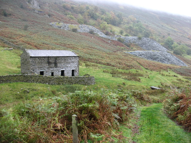
The terrain of Hall Hill is primarily composed of rocky outcrops, interspersed with patches of grass and heather. The hill's distinctive features make it a popular destination for nature enthusiasts and photographers alike, seeking to capture the rugged beauty of the area.
The hill is home to a diverse range of flora and fauna, with various species of birds, mammals, and plant life thriving in its unique ecosystem. It provides a habitat for wildlife such as red deer, foxes, and a variety of bird species, making it an ideal spot for wildlife enthusiasts to observe and appreciate the local biodiversity.
Visitors to Hall Hill can access the summit via well-maintained footpaths, with the ascent rewarding them with breathtaking views as they reach the top. On a clear day, it is said that the view from the summit extends for miles, showcasing the natural wonders of the Lake District and leaving a lasting impression on all who visit.
If you have any feedback on the listing, please let us know in the comments section below.
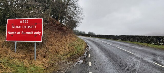
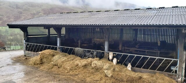
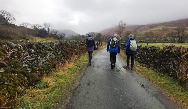
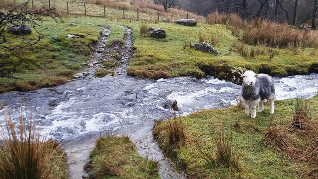
Hall Hill Images
Images are sourced within 2km of 54.442014/-2.893231 or Grid Reference NY4205. Thanks to Geograph Open Source API. All images are credited.


Hall Hill is located at Grid Ref: NY4205 (Lat: 54.442014, Lng: -2.893231)
Administrative County: Cumbria
District: South Lakeland
Police Authority: Cumbria
What 3 Words
///booms.craftsman.removes. Near Ambleside, Cumbria
Nearby Locations
Related Wikis

Troutbeck Park
Troutbeck Park is a farm to the north of Troutbeck village in South Lakeland, Cumbria. In 1923, there was a risk of it being sold for development, so...

Troutbeck Tongue
Troutbeck Tongue is a small fell in the English Lake District, three miles (five kilometres) ENE of Ambleside. It is one of 214 hills listed in Alfred...
Yoke (Lake District)
Yoke is a fell in the Lake District in Cumbria, England. It has a height of 706 metres (2,316 ft) and is situated in the far eastern sector of the national...
Wansfell
Wansfell is a fell in English Lake District situated 1+1⁄2 miles (2.4 kilometres) east of the town of Ambleside. The fell is part of the long southern...

Sallows
Sallows is a fell in the English Lake District, rising between the valleys of Kentmere and Troutbeck. It is the highest point in the upland area to the...

Sour Howes
Sour Howes is a small fell in the English Lake District. It is situated five kilometres east of Ambleside, between the Troutbeck and Kentmere valleys and...
Ill Bell
Ill Bell is a fell in the English Lake District, in the county of Cumbria, standing on the narrow ridge between the valleys of Kentmere and Troutbeck....

Jesus Church, Troutbeck
Jesus Church is in the village of Troutbeck in the Lake District, Cumbria, England. It is an active Anglican parish church in the deanery of Windermere...
Related Videos
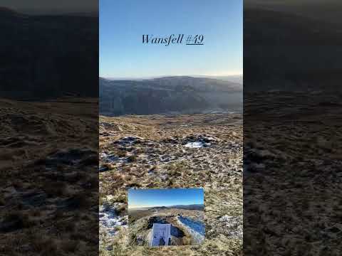
Wansfell #49
A walk up Wansfell and Wansfell Pike from Troutbeck https://jimearl6.com/a-walk-up-wansfell-and-wansfell-pike/#more-6950 A ...

Sallows #51
A walk up Sour Howes and Sallows from Troutbeck https://jimearl6.com/a-freezing-walk-up-sour-howes-and-sallows/#more-7143 ...

Hill Walking - Wansfell
A bimble over Wansfell, into Troutbeck and back to Ambleside Music by Ross Budgen.

HIKING & CAMPING in the Lake District - Red Screes & Middle Dodd.
Another adventure in the gorgeous Lake District. Parked at Kirkstone Pass Inn Car park and headed up to Red Screes directly ...
Nearby Amenities
Located within 500m of 54.442014,-2.893231Have you been to Hall Hill?
Leave your review of Hall Hill below (or comments, questions and feedback).