Black Knowe

Hill, Mountain in Peeblesshire

Scotland

Black Knowe

Black Law across Leithen Door Leithen Door is a steep 60m drop and re-ascent on the ridge walk from Dunslair Heights to Lee Pen.
Black Law across Leithen Door Credit: Jim Barton

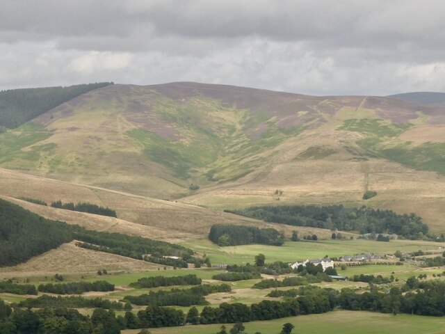
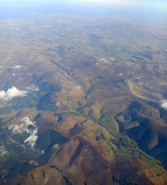
Black Knowe is a prominent hill situated in Peeblesshire, Scotland. It is part of the wider Moorfoot Hills range and stands at an elevation of approximately 536 meters (1,759 feet). The hill is located about 5 miles southeast of the town of Peebles and is a popular destination for hikers and nature enthusiasts.

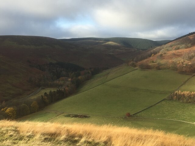
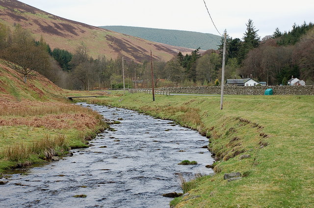
Black Knowe is characterized by its distinctive conical shape, which is a result of its volcanic origins. The hill is composed of basalt and is covered in heather, giving it a dark and rugged appearance that contrasts with the surrounding landscape. From its summit, visitors are treated to breathtaking panoramic views of the surrounding countryside, including the rolling hills, valleys, and nearby reservoirs.

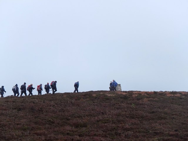
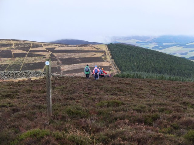
The ascent to the top of Black Knowe is relatively moderate, making it accessible to hikers of various skill levels. There are several well-defined paths that lead to the summit, allowing visitors to explore the hill and its diverse flora and fauna. The hill is home to a variety of bird species, including buzzards and kestrels, as well as mammals such as red deer and mountain hares.

Due to its proximity to Peebles, Black Knowe is a popular spot for locals and tourists alike seeking outdoor activities and a chance to immerse themselves in the natural beauty of Peeblesshire. Whether it's a leisurely stroll or a more challenging hike, Black Knowe offers a rewarding experience for those seeking to connect with the Scottish countryside.

If you have any feedback on the listing, please let us know in the comments section below.
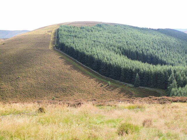
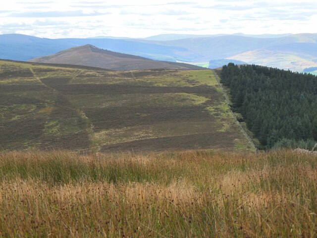
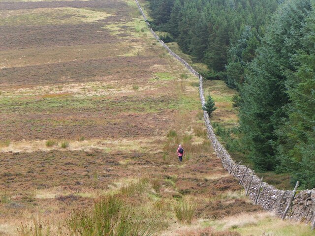
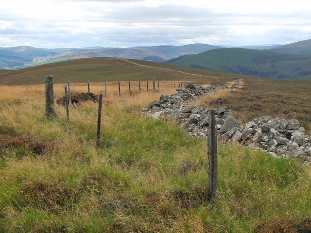
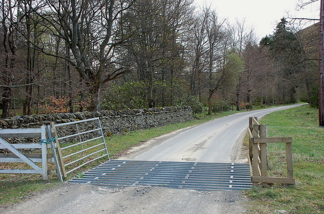
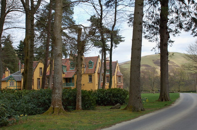
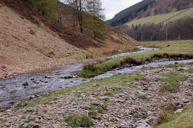
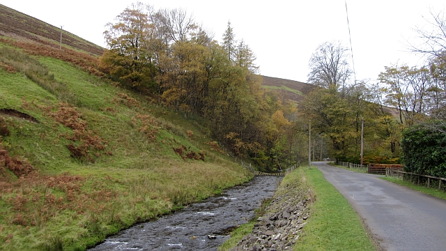
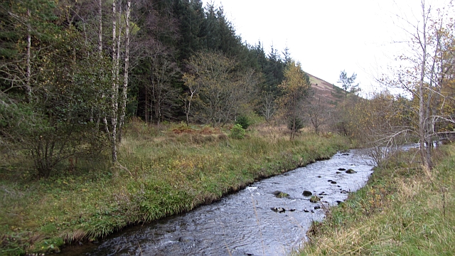
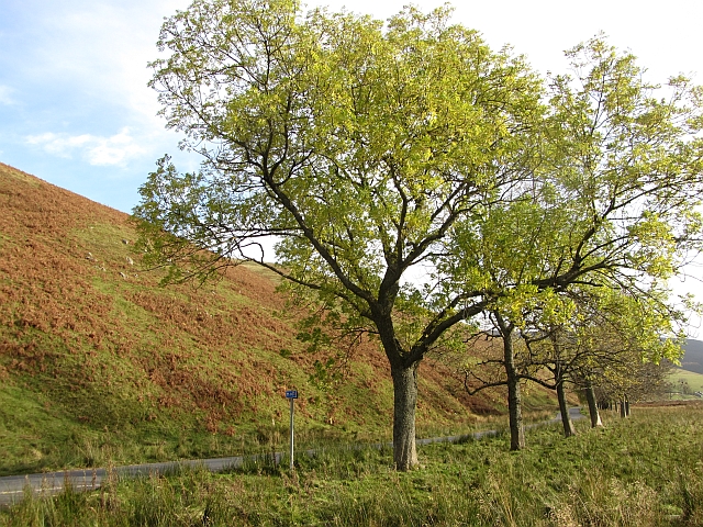
Black Knowe Images

Images are sourced within 2km of 55.657606/-3.0866319 or Grid Reference NT3140. Thanks to Geograph Open Source API. All images are credited.

Black Law across Leithen Door Leithen Door is a steep 60m drop and re-ascent on the ridge walk from Dunslair Heights to Lee Pen.
Black Law across Leithen Door
Leithen Door is a steep 60m drop and re-ascent on the ridge walk from Dunslair Heights to Lee Pen.
Lee Pen in sight The conical summit of Lee Pen (502m) marks the end of the ridge running SE between the Leithen Water and the Tweed. This view from Clog Knowe is across the intervening top of Black Knowe.
Lee Pen in sight
The conical summit of Lee Pen (502m) marks the end of the ridge running SE between the Leithen Water and the Tweed. This view from Clog Knowe is across the intervening top of Black Knowe.
Col below Clog Knowe The ridge between Clog Knowe and Black Knowe on the walk from Dunslair Heights to Lee Pen and Innerleithen. The plantation is part of Glentress Forest.
Col below Clog Knowe
The ridge between Clog Knowe and Black Knowe on the walk from Dunslair Heights to Lee Pen and Innerleithen. The plantation is part of Glentress Forest.
Stile on Black Knowe Junction of a wire fence and the ridge wall at the summit.
Stile on Black Knowe
Junction of a wire fence and the ridge wall at the summit.
Angle in the wall, Mill Rig On the ridge with Lee Burn Head in view.
Angle in the wall, Mill Rig
On the ridge with Lee Burn Head in view.
Black Knowe Hill above the Cardrona Hotel.
Black Knowe
Hill above the Cardrona Hotel.
Looking up the Leithen Water Towards the conifers of Glentress Forest. The background block were newly planted when I walked down that slope in 1987. The name Glentress suggests that the forest was going to be a lot larger, including Dod Hill where I was standing. Glen Tress itself is below and right of the picture and remained unplanted.
Looking up the Leithen Water
Towards the conifers of Glentress Forest. The background block were newly planted when I walked down that slope in 1987. The name Glentress suggests that the forest was going to be a lot larger, including Dod Hill where I was standing. Glen Tress itself is below and right of the picture and remained unplanted.
Mouse Dean Head from the air The course of Leithen Water can be clearly seen in the foreground. East Lothian, the Firth of Forth and the North Sea are in the distance.

Taken by mobile phone, from a Prague bound flight from Edinburgh.
Mouse Dean Head from the air
The course of Leithen Water can be clearly seen in the foreground. East Lothian, the Firth of Forth and the North Sea are in the distance. Taken by mobile phone, from a Prague bound flight from Edinburgh.
Leithen Water The Leithen Water rises on the southern slopes of Bowbeat Rig and runs in a substantial valley along the E side of the ridge of hills between Innerleithen and Peebles. This view is just SE of the imposing house of Leithen Lodge.
Leithen Water
The Leithen Water rises on the southern slopes of Bowbeat Rig and runs in a substantial valley along the E side of the ridge of hills between Innerleithen and Peebles. This view is just SE of the imposing house of Leithen Lodge.
Edge of the woodland at Leithen Lodge The cattle grid marks the edge of the enclosed woodland beyond which the track continues up the Leithen Water valley.
Edge of the woodland at Leithen Lodge
The cattle grid marks the edge of the enclosed woodland beyond which the track continues up the Leithen Water valley.
Leithen Lodge An ornate lodge, centre of the estate by the Leithen Water. Part of the house can be booked for self-catering accommodation.
Leithen Lodge
An ornate lodge, centre of the estate by the Leithen Water. Part of the house can be booked for self-catering accommodation.
Leithen Water bird habitat Home to a variety of bird life - two oystercatchers are in view on the grass bank near centre, the steep erosion slope had a number of sand martins popping in and out of the holes, and around the burn were dippers, pied wagtails and a heron.
Leithen Water bird habitat
Home to a variety of bird life - two oystercatchers are in view on the grass bank near centre, the steep erosion slope had a number of sand martins popping in and out of the holes, and around the burn were dippers, pied wagtails and a heron.
Glentress Water meets the Leithen Water Glentress Water rises on the W side of Windlestraw Law and is joined by burns from either side of the B709 up to the watershed by the Piper's Grave.
Glentress Water meets the Leithen Water
Glentress Water rises on the W side of Windlestraw Law and is joined by burns from either side of the B709 up to the watershed by the Piper's Grave.
Leithen Water Road and river just downstream of Leithen Lodge.
Leithen Water
Road and river just downstream of Leithen Lodge.
Leithen Water The river flows through woodland and past a wooded garden at Leithen Lodge.
Leithen Water
The river flows through woodland and past a wooded garden at Leithen Lodge.
Ashes beside the B709 A line of trees near the Leithen Lodge turn off.
Ashes beside the B709
A line of trees near the Leithen Lodge turn off.
Approaching the summit, Black Law Taken on a post-New-Year walk from Peebles to Innerleithen, following the undulating heathery ridge from Glentress. The summit trig point is at 538m.
Approaching the summit, Black Law
Taken on a post-New-Year walk from Peebles to Innerleithen, following the undulating heathery ridge from Glentress. The summit trig point is at 538m.
Horsburgh Heights trail on Clog Knowe The distinctively patterned hillside is showing the heather management areas on Black Knowe.
Horsburgh Heights trail on Clog Knowe
The distinctively patterned hillside is showing the heather management areas on Black Knowe.
Show me another place!

Black Knowe is located at Grid Ref: NT3140 (Lat: 55.657606, Lng: -3.0866319)

Unitary Authority: The Scottish Borders

Police Authority: The Lothians and Scottish Borders

What 3 Words

///conquest.scratches.concerned. Near Innerleithen, Scottish Borders

Related Wikis

Nether Horsburgh Castle

Nether Horsburgh Castle is a ruined tower house near Cardrona, in the Scottish Borders, in the former county of Peebleshire. It is situated at the back...

Cardrona, Scottish Borders

Cardrona is a village on the A72 and B7062, between Peebles and Innerleithen, in the Scottish Borders area of Scotland. Places nearby include Glentress...

Cardrona railway station

Cardrona railway station served the village of Cardrona, Scottish Borders, Scotland from 1864 to 1962 on the Peebles Railway. == History == The station...

Kirkburn, Scottish Borders

Kirkburn is a village on the B7062, close to Peebles and the River Tweed, in the Scottish Borders area of Scotland, at the edge of the Cardrona Forest...

Nearby Amenities

Located within 500m of 55.657606,-3.0866319
Black Knowe
Ele: 522
Natural: peak
Wikidata: Q115300057
Lat/Long: 55.6575911/-3.0868297
Barrier: stile
Foot: yes
Material: wood
Stile: ladder
Lat/Long: 55.6573014/-3.0858636
The data included in this document is from www.openstreetmap.org. The data is made available under ODbL.

Have you been to Black Knowe?

Leave your review of Black Knowe below (or comments, questions and feedback).