Mill Rig
Hill, Mountain in Peeblesshire
Scotland
Mill Rig
Mill Rig is a prominent hill located in Peeblesshire, in the southern part of Scotland. With an elevation of approximately 507 meters (1,663 feet), it is categorized as a hill rather than a mountain. The hill is situated near the village of Eddleston, about 6 kilometers (3.7 miles) west of the town of Peebles.
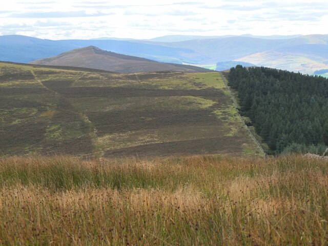
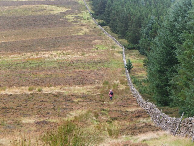
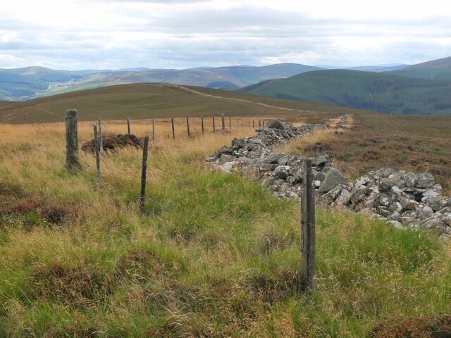
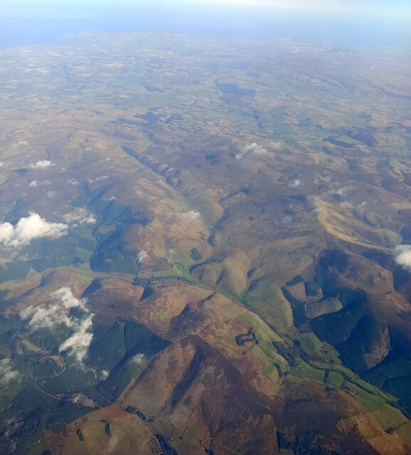
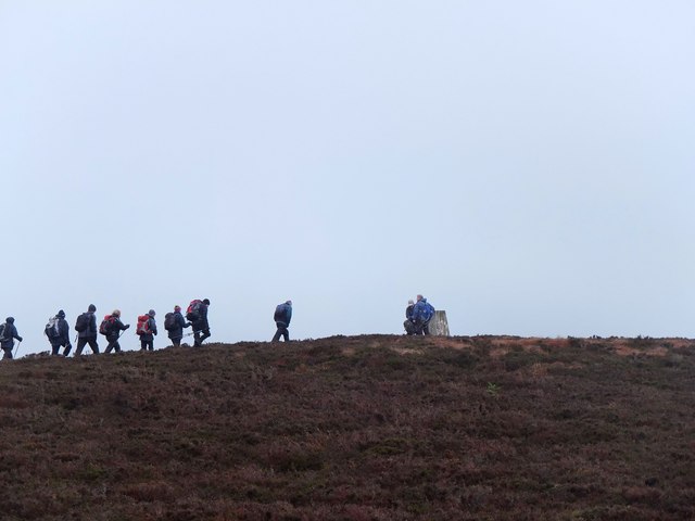
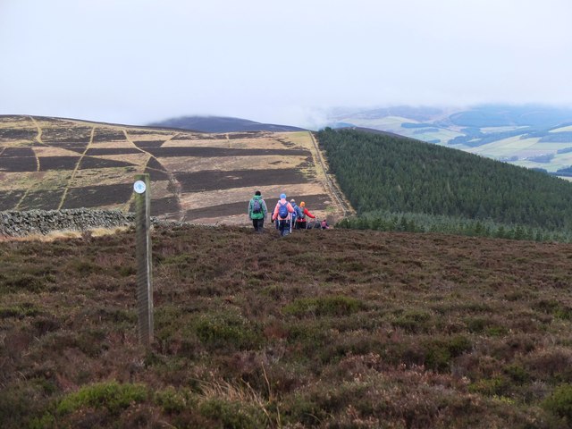
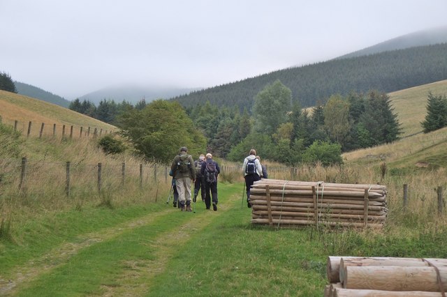
Mill Rig is a popular destination for outdoor enthusiasts, offering breathtaking panoramic views of the surrounding countryside. Its accessible location and relatively easy ascent make it a favored spot for hikers, walkers, and nature lovers of all ages and abilities. The hill is part of the wider Southern Uplands range, which is characterized by rolling hills and expansive moorland.
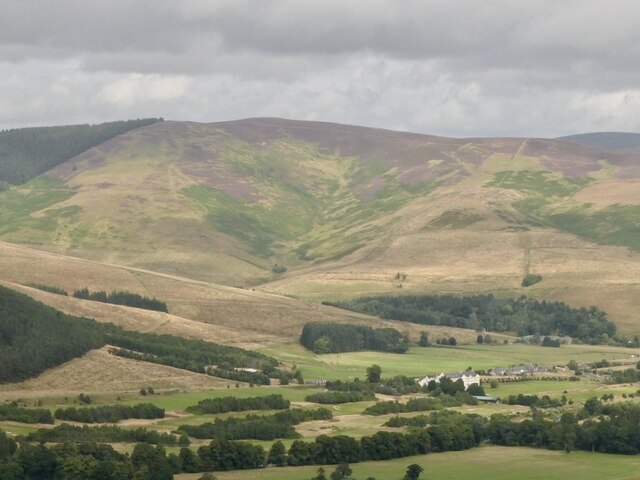
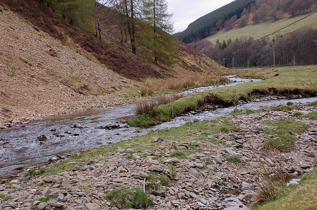
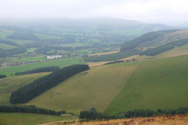
The summit of Mill Rig is crowned with a cairn, providing a focal point for visitors to rest and take in the stunning vistas. On a clear day, one can see the beautiful Tweed Valley, with its meandering river and picturesque villages. The hill also offers views of the nearby Pentland Hills to the north and the Moffat Hills to the south.
Mill Rig is surrounded by diverse flora and fauna, including heather, bracken, and various species of birds. The area is also known for its historical significance, with remnants of ancient settlements and burial mounds scattered across the landscape.
Overall, Mill Rig in Peeblesshire provides a delightful outdoor experience, combining natural beauty, historical interest, and accessibility, making it a must-visit destination for anyone exploring the enchanting Scottish countryside.
If you have any feedback on the listing, please let us know in the comments section below.
Mill Rig Images
Images are sourced within 2km of 55.652905/-3.0837523 or Grid Reference NT3140. Thanks to Geograph Open Source API. All images are credited.


Mill Rig is located at Grid Ref: NT3140 (Lat: 55.652905, Lng: -3.0837523)
Unitary Authority: The Scottish Borders
Police Authority: The Lothians and Scottish Borders
What 3 Words
///toads.glue.flexed. Near Innerleithen, Scottish Borders
Nearby Locations
Related Wikis

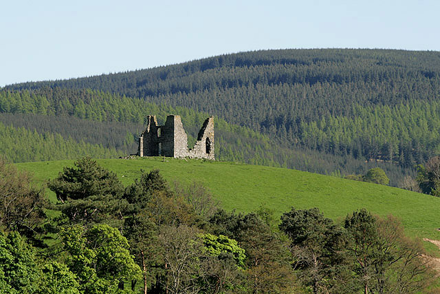
Nether Horsburgh Castle
Nether Horsburgh Castle is a ruined tower house near Cardrona, in the Scottish Borders, in the former county of Peebleshire. It is situated at the back...

Cardrona, Scottish Borders
Cardrona is a village on the A72 and B7062, between Peebles and Innerleithen, in the Scottish Borders area of Scotland. Places nearby include Glentress...

Cardrona railway station
Cardrona railway station served the village of Cardrona, Scottish Borders, Scotland from 1864 to 1962 on the Peebles Railway. == History == The station...

Kirkburn, Scottish Borders
Kirkburn is a village on the B7062, close to Peebles and the River Tweed, in the Scottish Borders area of Scotland, at the edge of the Cardrona Forest...
Horsburgh Castle
Horsburgh Castle, also known as Horsbrugh Castle or Horsbrugh Tower, is a ruined tower house castle by the River Tweed, on the A72 road from Peebles to...
Vale of Leithen F.C.
Vale of Leithen Football Club are a football club based in the town of Innerleithen, Scotland. They play in the East of Scotland League First Division...

Robert Smail's Printing Works
Robert Smail's Printing Works is a fully functional Victorian era letterpress printing works in the small Scottish Borders town of Innerleithen, now preserved...

Cardrona Forest
The Cardrona Forest is a forest in the Scottish Borders area of Scotland, on the B7062, near Peebles. OS Grid Reference: NT292385. Cardrona Forest consists...
Nearby Amenities
Located within 500m of 55.652905,-3.0837523Have you been to Mill Rig?
Leave your review of Mill Rig below (or comments, questions and feedback).