Little Oath Hill
Hill, Mountain in Lancashire South Lakeland
England
Little Oath Hill

The requested URL returned error: 429 Too Many Requests
If you have any feedback on the listing, please let us know in the comments section below.
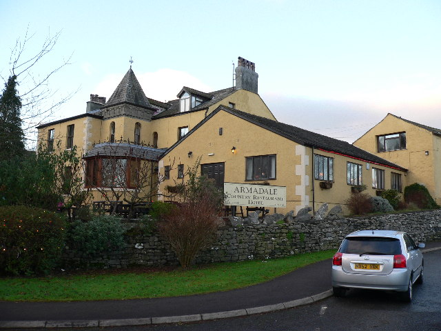
Little Oath Hill Images
Images are sourced within 2km of 54.212081/-3.0488225 or Grid Reference SD3180. Thanks to Geograph Open Source API. All images are credited.


Little Oath Hill is located at Grid Ref: SD3180 (Lat: 54.212081, Lng: -3.0488225)
Administrative County: Cumbria
District: South Lakeland
Police Authority: Cumbria
What 3 Words
///respected.nest.stooping. Near Ulverston, Cumbria
Nearby Locations
Related Wikis
Arrad Foot
Arrad Foot is a hamlet in South Lakeland, Cumbria, England. The hamlet is situated on a minor road just off the A590 road, with the village of Greenodd...

Greenodd railway station
Greenodd railway station was on the route between Ulverston and Lakeside, built by the Furness Railway. It served the village of Greenodd, then in Lancashire...

River Crake
The River Crake is a short river in the English Lake District. The name probably derives from the Celtic languages (most likely Brythonic languages; ie...
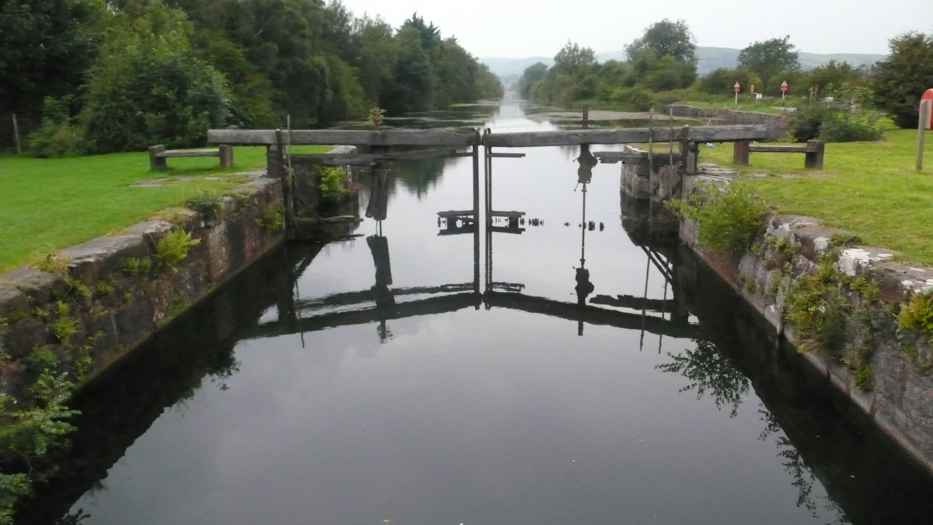
Ulverston Canal
The Ulverston Canal is a 1.25 miles (2 km) ship canal that connects the town of Ulverston, Cumbria, England with Morecambe Bay. The waterway, which is...
Nearby Amenities
Located within 500m of 54.212081,-3.0488225Have you been to Little Oath Hill?
Leave your review of Little Oath Hill below (or comments, questions and feedback).