Long Crag
Hill, Mountain in Lancashire South Lakeland
England
Long Crag
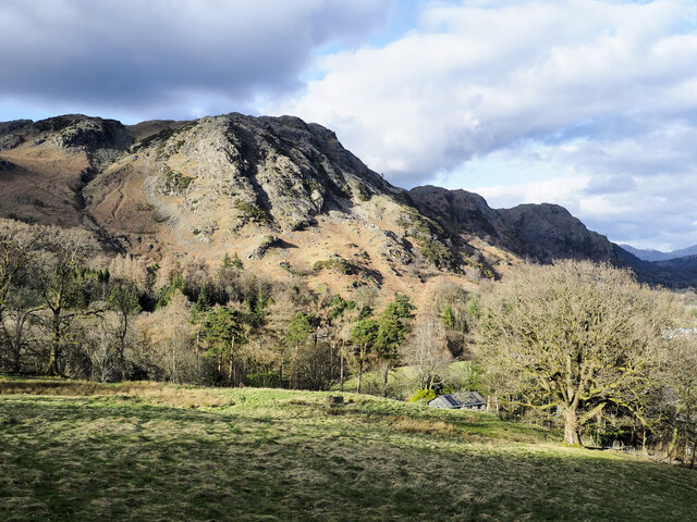
Long Crag is a prominent hill located in Lancashire, England. It lies within the Forest of Bowland, a designated Area of Outstanding Natural Beauty, approximately 5 miles northeast of the town of Clitheroe. With an elevation of 448 meters (1,470 feet), Long Crag stands as one of the highest points in the region.
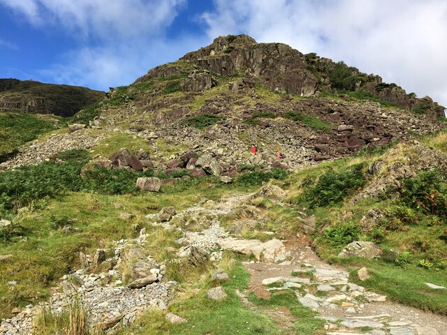
The hill is characterized by its rugged and rocky terrain, covered in thick heather and grasses that change color with the seasons. It offers breathtaking panoramic views of the surrounding landscape, including the vast expanse of the Forest of Bowland, the Bowland Fells, and the Ribble Valley. On clear days, it is even possible to see as far as the Yorkshire Dales and the Lake District.
Long Crag is a popular destination for outdoor enthusiasts, particularly hikers and walkers, who are drawn to its challenging trails and stunning vistas. The hill is accessible via a network of footpaths and bridleways, which meander through the picturesque countryside. Along the way, visitors may encounter various wildlife species, such as red grouse, curlews, and mountain hares, adding to the area's natural charm.
The hill's remote location and unspoiled landscape make it an ideal spot for nature lovers seeking tranquility and solitude. Its beauty and biodiversity have also led to its designation as a Site of Special Scientific Interest to protect its unique flora and fauna.
In conclusion, Long Crag in Lancashire offers a captivating combination of rugged terrain, breathtaking views, and abundant wildlife, making it an appealing destination for outdoor enthusiasts and those seeking a connection with nature.
If you have any feedback on the listing, please let us know in the comments section below.
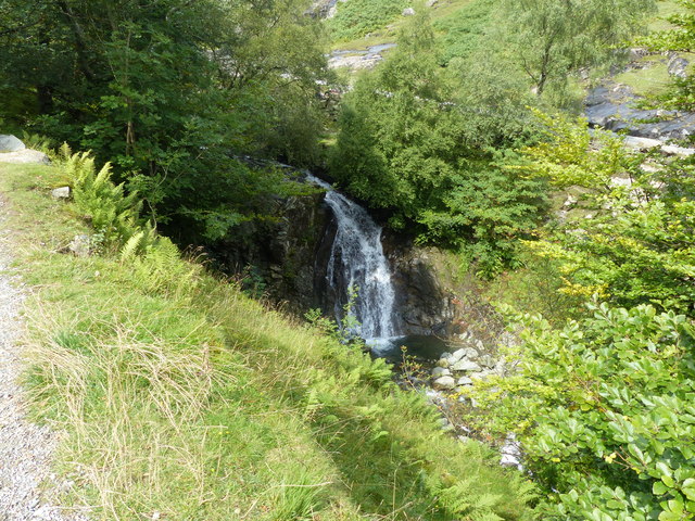
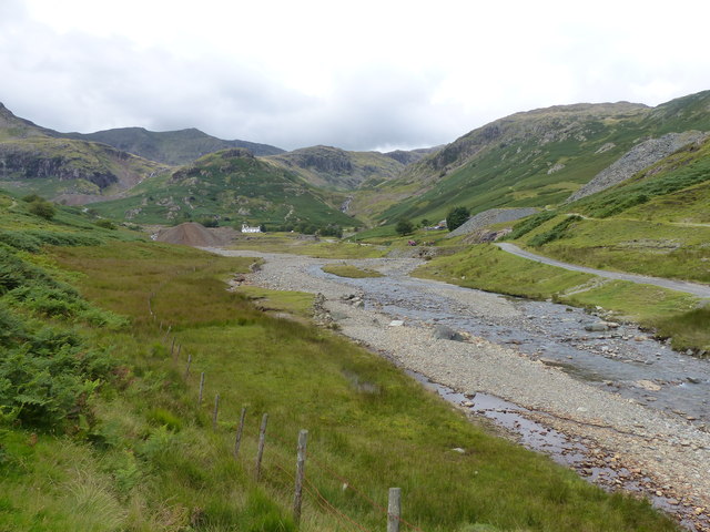
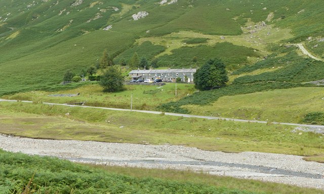
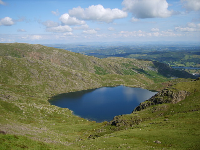
Long Crag Images
Images are sourced within 2km of 54.381357/-3.0822506 or Grid Reference SD2998. Thanks to Geograph Open Source API. All images are credited.


Long Crag is located at Grid Ref: SD2998 (Lat: 54.381357, Lng: -3.0822506)
Administrative County: Cumbria
District: South Lakeland
Police Authority: Cumbria
What 3 Words
///remaking.spare.item. Near Ambleside, Cumbria
Nearby Locations
Related Wikis

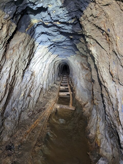
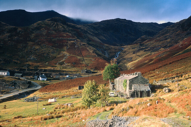
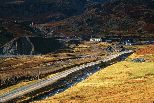
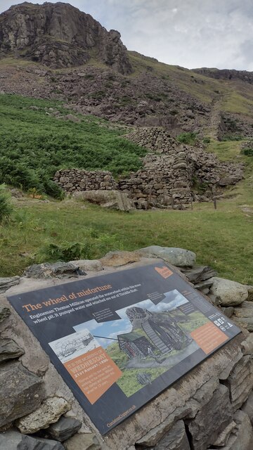
Coniston copper mines
The Coniston copper mines were a copper mining operation in Lancashire, England. It was functional for hundreds of years in Coppermines Valley above Coniston...

Ruskin Museum
The Ruskin Museum is a small local museum in Coniston, Cumbria, northern England. It was established in 1901 by W. G. Collingwood, an artist and antiquarian...

Coniston railway station (England)
Coniston railway station was the northern terminus of the Coniston branch line in the village of Coniston, Lancashire, England (now in Cumbria). ��2�...

Coniston, Cumbria
Coniston is a village and civil parish in the Westmorland and Furness district of Cumbria, England. In the 2001 census the parish had a population of 1...

John Ruskin School
John Ruskin School (JRS) is an 11–16 school on Lake Road in Coniston, Cumbria. The school is part of the Rural Academy, a group of nine small schools in...
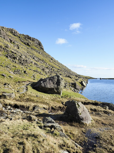
Levers Water
Levers Water is a small lake in the English Lake District. It is located at the head of the Coppermines Valley, above Coniston village. To its south-west...

Cat Bank
Cat Bank is a hamlet in Cumbria, England. == References ==

SY Gondola
The steam yacht Gondola is a rebuilt Victorian, screw-propelled, steam-powered passenger vessel on Coniston Water, England. Originally launched in 1859...
Nearby Amenities
Located within 500m of 54.381357,-3.0822506Have you been to Long Crag?
Leave your review of Long Crag below (or comments, questions and feedback).