Kitty Crag
Hill, Mountain in Lancashire South Lakeland
England
Kitty Crag

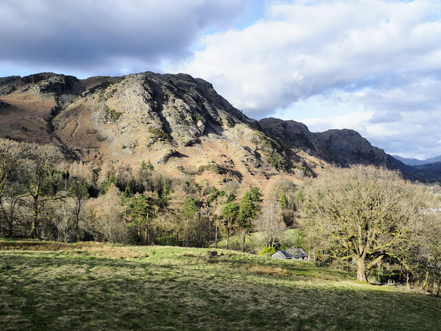
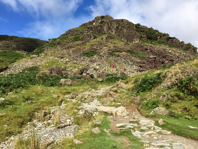
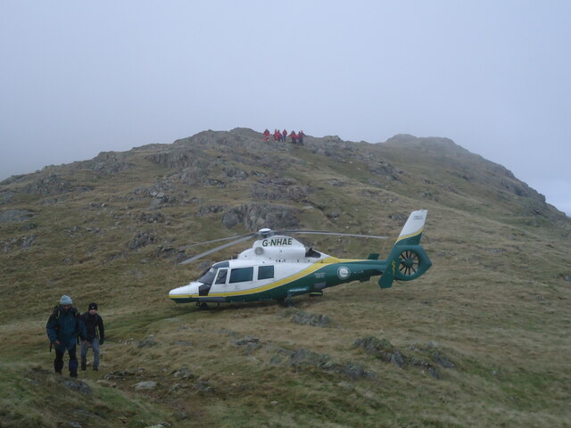
Kitty Crag is a prominent hill located in Lancashire, England. With an elevation of approximately 300 meters (984 feet), it is considered to be one of the highest points in the area, providing breathtaking panoramic views of the surrounding landscape. Situated in the picturesque countryside, Kitty Crag is a popular destination for hikers, nature enthusiasts, and photographers alike.
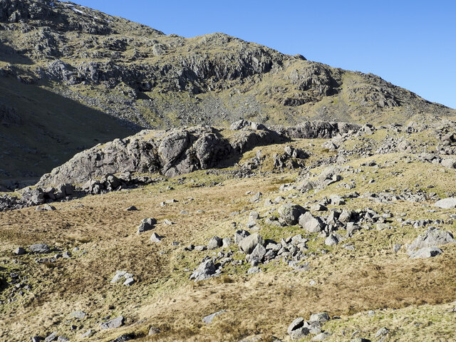
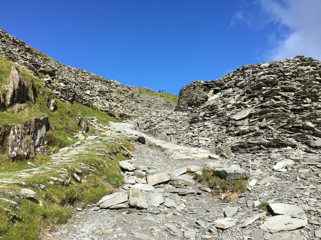
The hill is known for its rugged terrain, characterized by rocky outcrops and steep slopes. Its name, Kitty Crag, derives from the Old English word "crag," which refers to a rocky hill or cliff. This name accurately reflects the geology of the area, as the hill is primarily composed of sandstone and limestone.
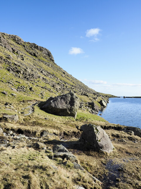
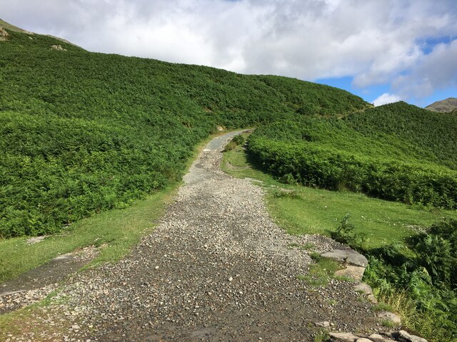
Kitty Crag offers various walking trails, ranging in difficulty, catering to both experienced hikers and casual walkers. These trails wind through meandering paths, lush woodlands, and open fields, providing a diverse and enchanting experience for visitors. Along the way, walkers may encounter an array of wildlife, including deer, rabbits, and a variety of bird species.
Due to its strategic location, Kitty Crag has historically served as a vantage point, offering commanding views of the surrounding Lancashire countryside. Its elevated position allows visitors to see for miles, capturing the beauty of the rolling hills, quaint villages, and patchwork fields that define the region.
Overall, Kitty Crag in Lancashire is a destination that offers natural beauty, tranquility, and a chance to immerse oneself in the stunning landscape of this picturesque part of England.
If you have any feedback on the listing, please let us know in the comments section below.
Kitty Crag Images
Images are sourced within 2km of 54.381303/-3.0862832 or Grid Reference SD2998. Thanks to Geograph Open Source API. All images are credited.


Kitty Crag is located at Grid Ref: SD2998 (Lat: 54.381303, Lng: -3.0862832)
Administrative County: Cumbria
District: South Lakeland
Police Authority: Cumbria
What 3 Words
///darling.tuck.swoop. Near Ambleside, Cumbria
Nearby Locations
Related Wikis

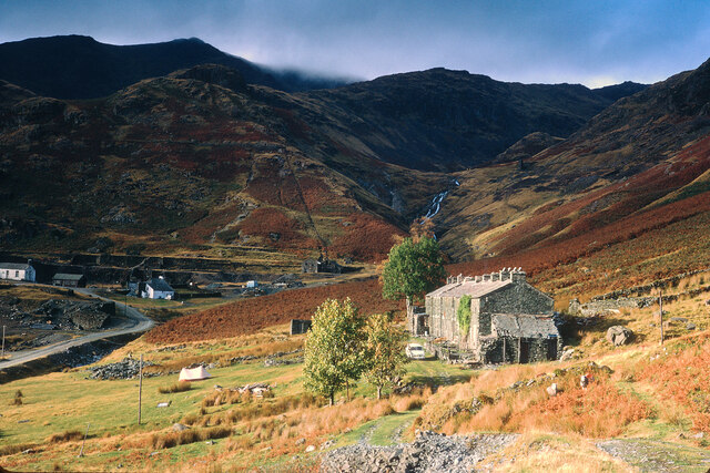
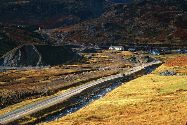
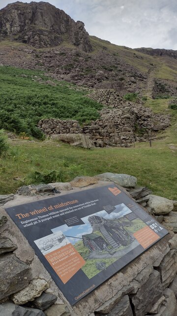
Coniston copper mines
The Coniston copper mines were a copper mining operation in Lancashire, England. It was functional for hundreds of years in Coppermines Valley above Coniston...

Ruskin Museum
The Ruskin Museum is a small local museum in Coniston, Cumbria, northern England. It was established in 1901 by W. G. Collingwood, an artist and antiquarian...

Coniston railway station (England)
Coniston railway station was the northern terminus of the Coniston branch line in the village of Coniston, Lancashire, England (now in Cumbria). ��2�...
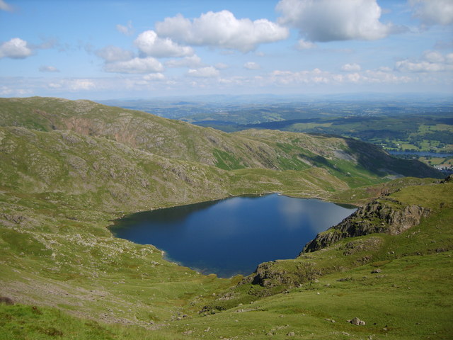
Levers Water
Levers Water is a small lake in the English Lake District. It is located at the head of the Coppermines Valley, above Coniston village. To its south-west...

Coniston, Cumbria
Coniston is a village and civil parish in the Westmorland and Furness district of Cumbria, England. In the 2001 census the parish had a population of 1...

John Ruskin School
John Ruskin School (JRS) is an 11–16 school on Lake Road in Coniston, Cumbria. The school is part of the Rural Academy, a group of nine small schools in...

Cat Bank
Cat Bank is a hamlet in Cumbria, England. == References ==

Wetherlam
Wetherlam (763 m) is a mountain in the English Lake District. It is the most northerly of the Coniston Fells, the range of fells to the north-west of Coniston...
Nearby Amenities
Located within 500m of 54.381303,-3.0862832Have you been to Kitty Crag?
Leave your review of Kitty Crag below (or comments, questions and feedback).