Yew Pike Moss
Downs, Moorland in Lancashire South Lakeland
England
Yew Pike Moss

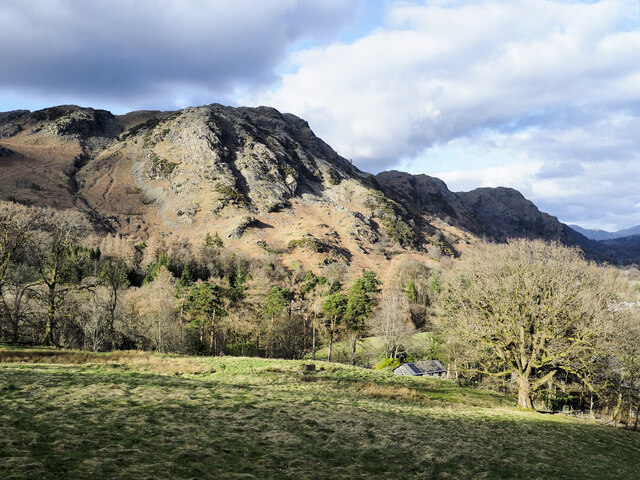
Yew Pike Moss is a picturesque area located in Lancashire, England. Situated in the heart of the county, it encompasses a diverse landscape of downs and moorland, offering breathtaking views and a tranquil environment for visitors to immerse themselves in nature.
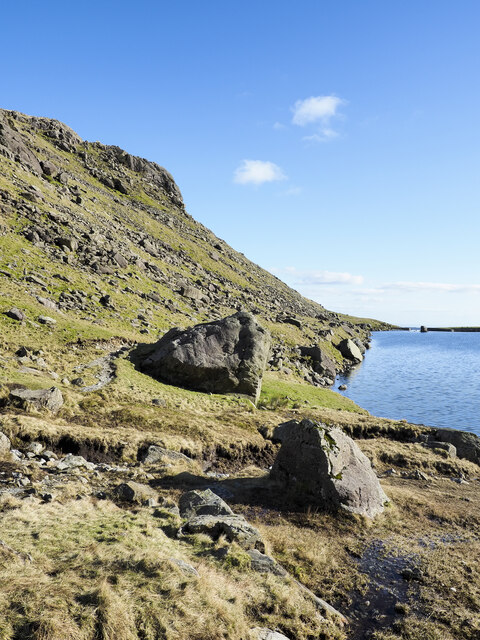
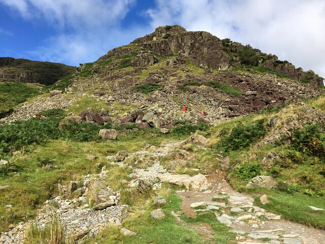
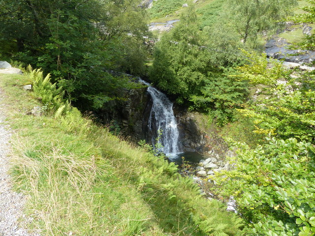
The region is characterized by its rolling hills and expansive heather-covered moorland, creating a stunning contrast of colors throughout the year. Yew Pike Moss is particularly known for its abundance of ancient yew trees, which add an air of mystique and historical significance to the area. These trees, some of which are estimated to be over 1,000 years old, provide a unique and striking backdrop for hikers and nature enthusiasts.
The moss is home to a variety of wildlife, including rare bird species like the golden plover and curlew, making it a popular destination for birdwatchers. The heather moorland also supports a diverse range of plant species, creating a vibrant and beautiful landscape.
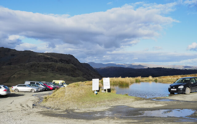
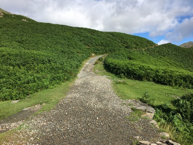
Visitors to Yew Pike Moss can explore the numerous walking trails that crisscross the area, allowing them to fully appreciate the natural beauty of the surroundings. The terrain is varied, with some paths leading up steep ascents and others meandering through gentle valleys, ensuring there is something for every level of fitness.
Overall, Yew Pike Moss offers a captivating blend of natural beauty, rich history, and abundant wildlife. Whether it is for a leisurely stroll to admire the ancient yew trees or a more challenging hike across the moorland, this Lancashire gem is sure to leave a lasting impression on all who visit.
If you have any feedback on the listing, please let us know in the comments section below.
Yew Pike Moss Images
Images are sourced within 2km of 54.379035/-3.0815737 or Grid Reference SD2998. Thanks to Geograph Open Source API. All images are credited.


Yew Pike Moss is located at Grid Ref: SD2998 (Lat: 54.379035, Lng: -3.0815737)
Administrative County: Cumbria
District: South Lakeland
Police Authority: Cumbria
What 3 Words
///shipwreck.sharpens.juggle. Near Ambleside, Cumbria
Nearby Locations
Related Wikis

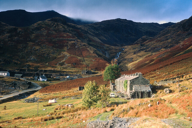
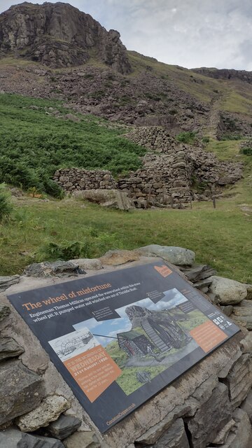
Coniston copper mines
The Coniston copper mines were a copper mining operation in Lancashire, England. It was functional for hundreds of years in Coppermines Valley above Coniston...

Ruskin Museum
The Ruskin Museum is a small local museum in Coniston, Cumbria, northern England. It was established in 1901 by W. G. Collingwood, an artist and antiquarian...

Coniston railway station (England)
Coniston railway station was the northern terminus of the Coniston branch line in the village of Coniston, Lancashire, England (now in Cumbria). ��2�...

Coniston, Cumbria
Coniston is a village and civil parish in the Westmorland and Furness district of Cumbria, England. In the 2001 census the parish had a population of 1...

John Ruskin School
John Ruskin School (JRS) is an 11–16 school on Lake Road in Coniston, Cumbria. The school is part of the Rural Academy, a group of nine small schools in...

Cat Bank
Cat Bank is a hamlet in Cumbria, England. == References ==

SY Gondola
The steam yacht Gondola is a rebuilt Victorian, screw-propelled, steam-powered passenger vessel on Coniston Water, England. Originally launched in 1859...
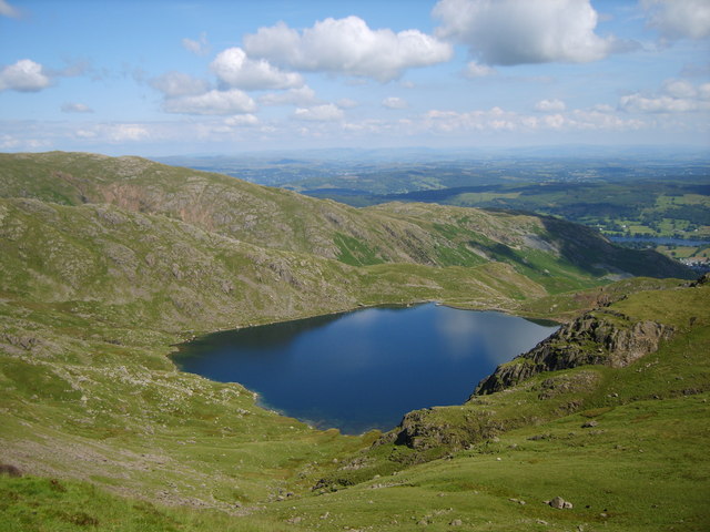
Levers Water
Levers Water is a small lake in the English Lake District. It is located at the head of the Coppermines Valley, above Coniston village. To its south-west...
Nearby Amenities
Located within 500m of 54.379035,-3.0815737Have you been to Yew Pike Moss?
Leave your review of Yew Pike Moss below (or comments, questions and feedback).