Kitty Crag Moss
Downs, Moorland in Lancashire South Lakeland
England
Kitty Crag Moss

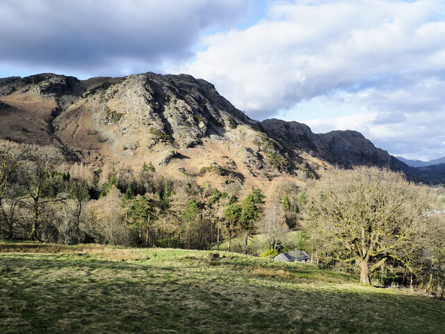
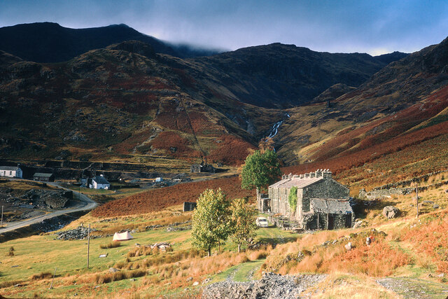
Kitty Crag Moss is a picturesque area located in the county of Lancashire, England. Situated in the northern part of the county, this region is renowned for its stunning natural beauty, characterized by its rolling downs and expansive moorland. With its tranquil atmosphere and diverse landscapes, Kitty Crag Moss attracts nature enthusiasts, hikers, and photographers alike.
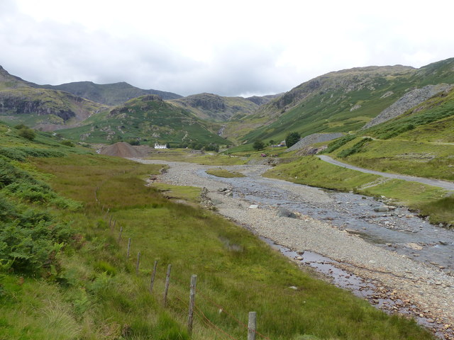
The downs of Kitty Crag Moss offer breathtaking views of the surrounding countryside. These gentle slopes are covered in lush green grasses and dotted with vibrant wildflowers, creating a vibrant and colorful panorama. The undulating terrain provides a perfect setting for leisurely walks or picnics, allowing visitors to immerse themselves in the peaceful surroundings.
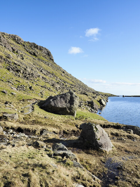
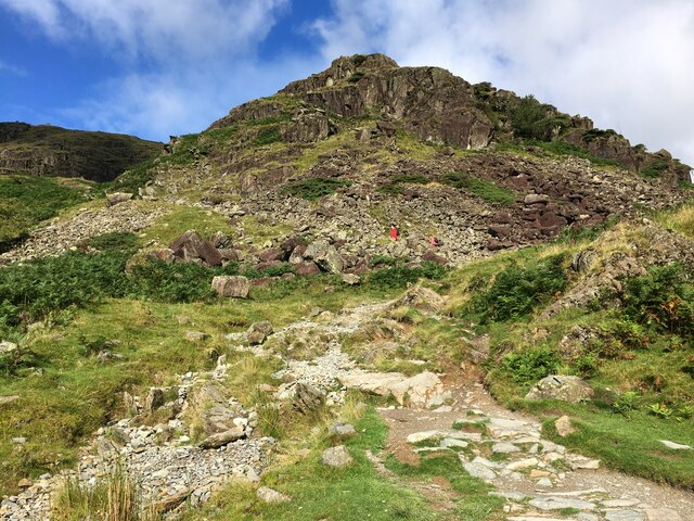
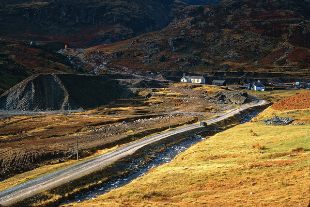
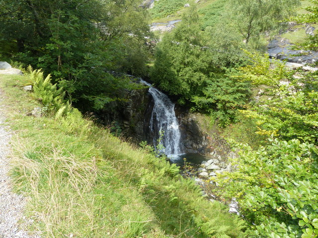
Venturing further into Kitty Crag Moss, the moorland unfolds, revealing an entirely different landscape. Here, vast stretches of open land are dominated by heather and mosses, creating a rugged and wild atmosphere. The moorland is also home to a variety of wildlife, including birds of prey, such as kestrels and buzzards, as well as small mammals like rabbits and hares.
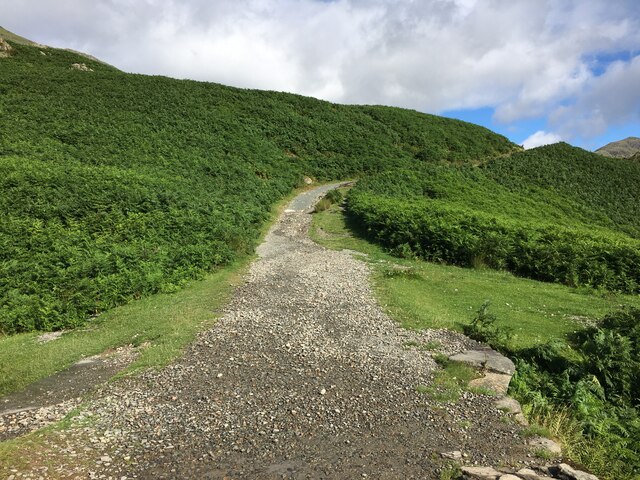
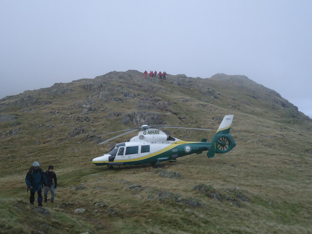
For those seeking outdoor adventures, Kitty Crag Moss offers numerous opportunities. Its extensive network of walking trails and paths allows visitors to explore the area at their own pace. Whether it's a leisurely stroll or a more challenging hike, there are options available for all levels of fitness and experience.
In summary, Kitty Crag Moss is a captivating destination in Lancashire, boasting beautiful downs and expansive moorland. With its stunning landscapes and abundant wildlife, this area is a haven for nature lovers and outdoor enthusiasts seeking a peaceful and picturesque escape.
If you have any feedback on the listing, please let us know in the comments section below.
Kitty Crag Moss Images
Images are sourced within 2km of 54.380946/-3.0829173 or Grid Reference SD2998. Thanks to Geograph Open Source API. All images are credited.


Kitty Crag Moss is located at Grid Ref: SD2998 (Lat: 54.380946, Lng: -3.0829173)
Administrative County: Cumbria
District: South Lakeland
Police Authority: Cumbria
What 3 Words
///jiggle.crew.defrost. Near Ambleside, Cumbria
Nearby Locations
Related Wikis

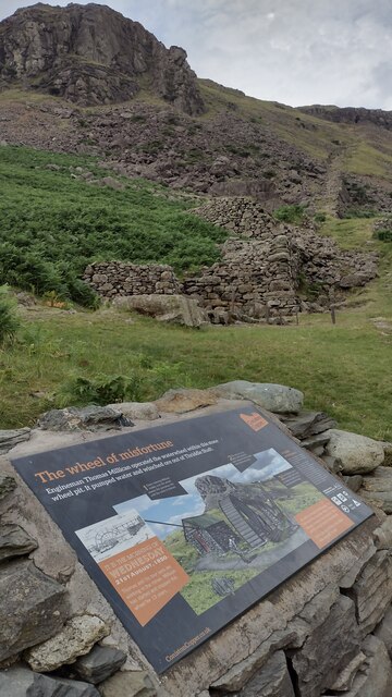
Coniston copper mines
The Coniston copper mines were a copper mining operation in Lancashire, England. It was functional for hundreds of years in Coppermines Valley above Coniston...

Ruskin Museum
The Ruskin Museum is a small local museum in Coniston, Cumbria, northern England. It was established in 1901 by W. G. Collingwood, an artist and antiquarian...

Coniston railway station (England)
Coniston railway station was the northern terminus of the Coniston branch line in the village of Coniston, Lancashire, England (now in Cumbria). ��2�...

Coniston, Cumbria
Coniston is a village and civil parish in the Westmorland and Furness district of Cumbria, England. In the 2001 census the parish had a population of 1...
Nearby Amenities
Located within 500m of 54.380946,-3.0829173Have you been to Kitty Crag Moss?
Leave your review of Kitty Crag Moss below (or comments, questions and feedback).