Blingery Hill
Hill, Mountain in Caithness
Scotland
Blingery Hill
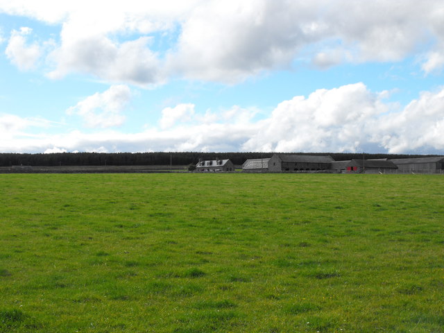
Blingery Hill is a prominent landmark located in Caithness, a county in the Highland region of Scotland. Rising to an elevation of approximately 200 meters (656 feet), it is classified as a hill rather than a mountain. Blingery Hill is situated about 2 kilometers (1.2 miles) southwest of the town of Wick, Caithness' largest settlement.
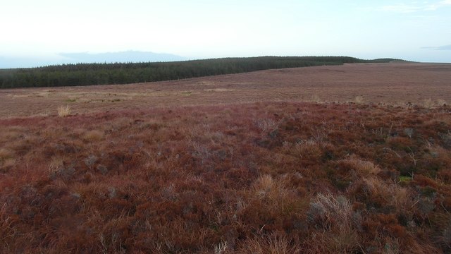
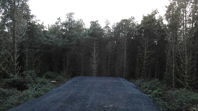
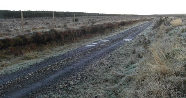
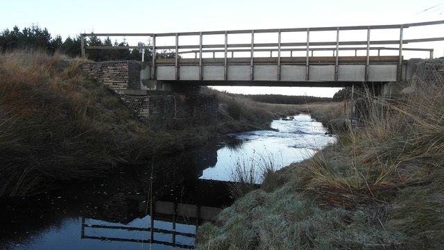
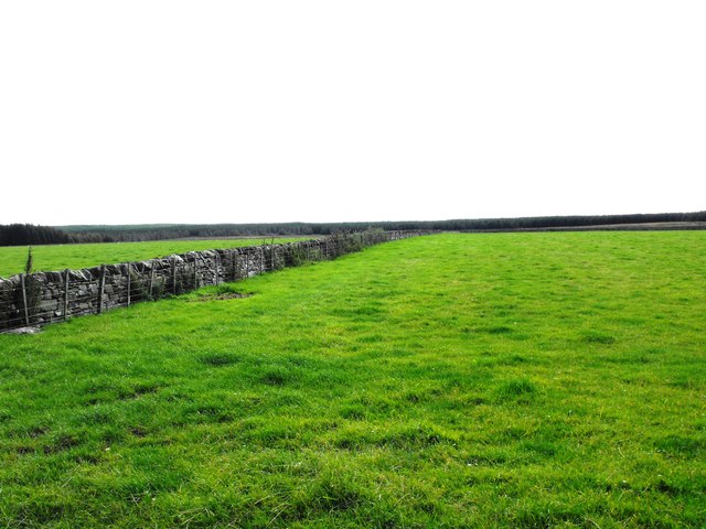
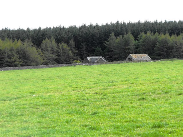
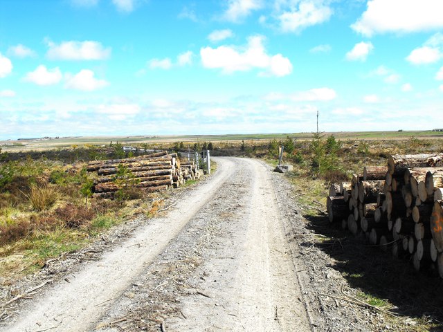
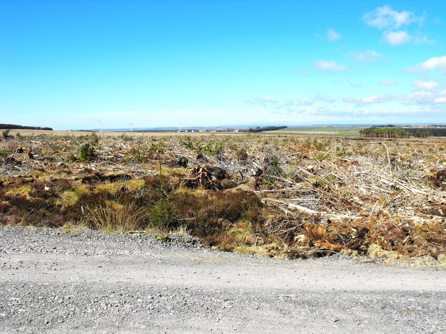
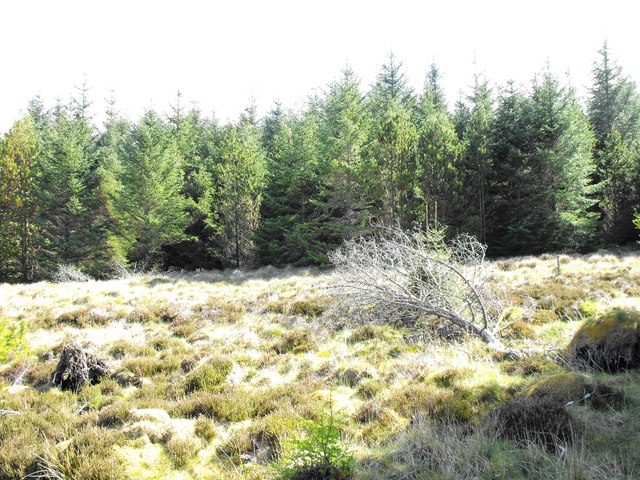
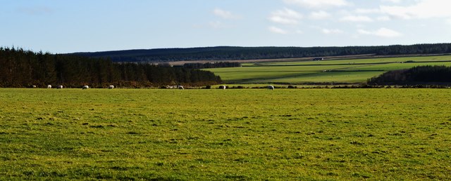
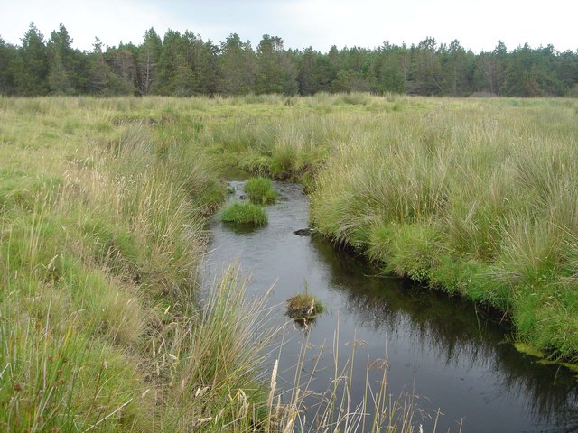
The hill is known for its distinctive shape and rugged terrain. Its slopes are covered with a mixture of heather, grasses, and scattered rocky outcrops, providing an ideal habitat for various plant and animal species. The hilltop offers breathtaking panoramic views of the surrounding countryside, including the North Sea coastline to the east and the rolling Caithness countryside to the west.
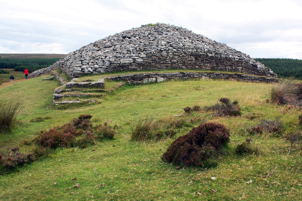
Blingery Hill holds historical significance as well. On its slopes, there are remnants of ancient settlements, including stone circles, indicating human activity in the area dating back thousands of years. These archaeological features attract enthusiasts and researchers interested in exploring the region's past.
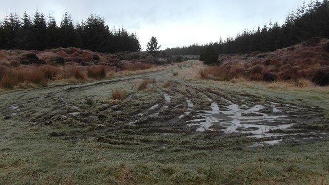
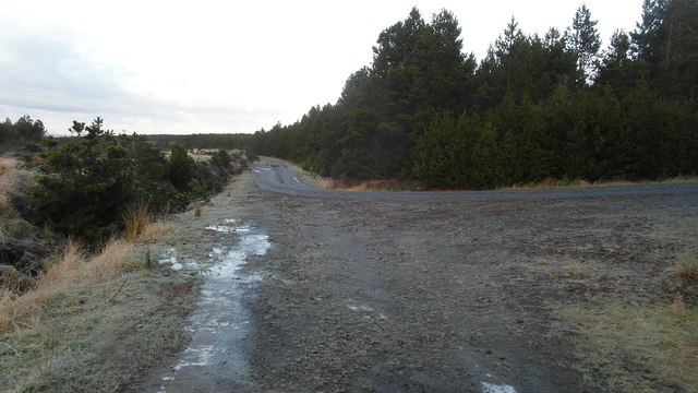
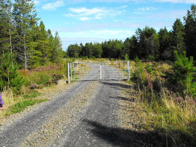
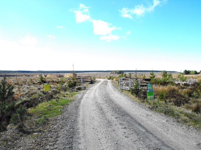
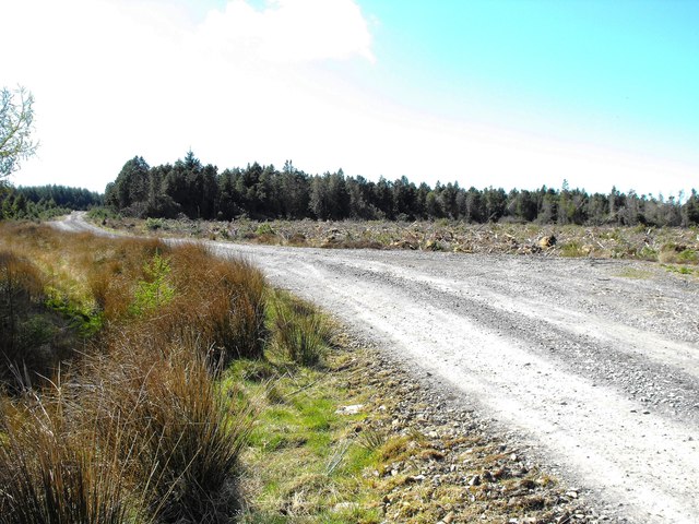
The hill is a popular destination for hikers, offering several walking trails that cater to different levels of difficulty and fitness. Visitors can enjoy a leisurely stroll along the lower slopes or challenge themselves with a more strenuous climb to the summit. Blingery Hill provides an opportunity for outdoor enthusiasts to experience the natural beauty and tranquility of Caithness while immersing themselves in its rich history and cultural heritage.
If you have any feedback on the listing, please let us know in the comments section below.
Blingery Hill Images
Images are sourced within 2km of 58.416846/-3.203216 or Grid Reference ND2948. Thanks to Geograph Open Source API. All images are credited.
Blingery Hill is located at Grid Ref: ND2948 (Lat: 58.416846, Lng: -3.203216)
Unitary Authority: Highland
Police Authority: Highlands and Islands
What 3 Words
///typed.roaming.dizzy. Near Wick, Highland
Nearby Locations
Related Wikis

Battle of Tannach
The Battle of Tannach (Blare Tannie or Blar-Tannie, Scottish Gaelic: Tannach Moor) was a Scottish clan battle fought about 3 miles (4.8 km) southwest of...

Bilbster
Bilbster is a rural area in the Highlands region of Scotland. It is situated on the A882 road and consists of just a handful of houses spread over approximately...

Haster
Haster is a small remote rural hamlet and district in Wick, in the Highland area of Scotland. It is located just west of the Bridge of Haster, which carries...

Thrumster railway station
Thrumster was a railway station located at Thrumster, Highland, Scotland between Wick and Lybster. The station building can still be seen alongside the...
Thrumster, Caithness
Thrumster is a crofting township on the main A99 road between Wick and Inverness. It is the nearest village to Wick. The transmission mast used to broadcast...

Battle of Altimarlach
The Battle of Altimarlach was a Scottish clan battle that took place on 13 July 1680, near Wick, Caithness, Scotland. It was fought in a dispute between...
Welsh's Crossing Halt railway station
Welsh's Crossing Halt was a railway station located south of Thrumster, Highland between Wick and Lybster. == History == The station was opened as part...
Grey Cairns of Camster
The Grey Cairns of Camster are two large Neolithic chambered cairns located about 8+1⁄2 miles (14 kilometres) south of Watten and 5 miles (8 km) north...
Have you been to Blingery Hill?
Leave your review of Blingery Hill below (or comments, questions and feedback).