Auchtertyre Hill
Hill, Mountain in Angus
Scotland
Auchtertyre Hill
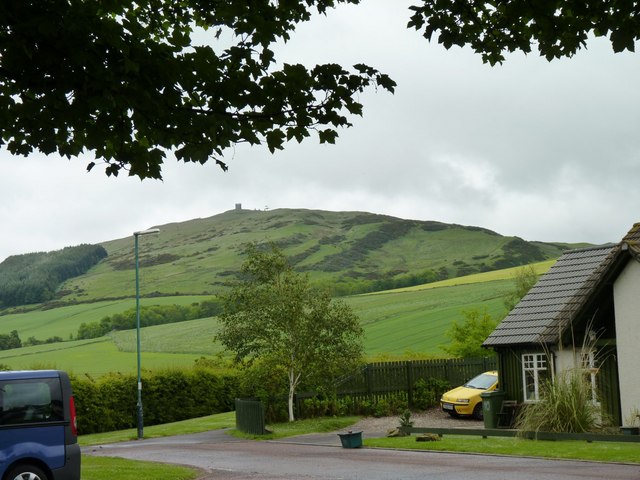
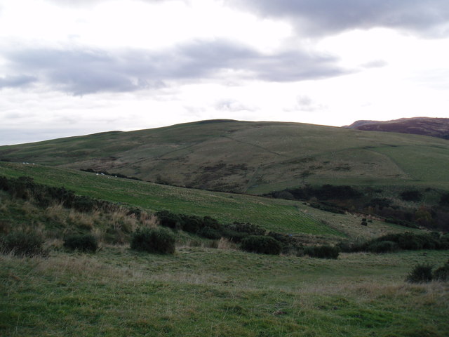
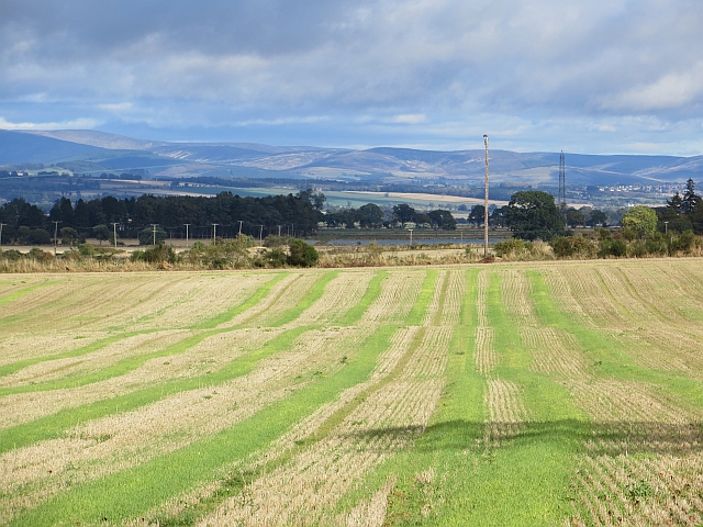
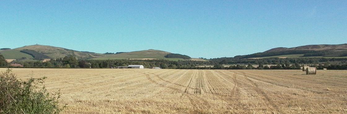
Auchtertyre Hill is a prominent hill located in the county of Angus, Scotland. Situated approximately 5 miles northwest of the town of Brechin, it is part of the Montrose Basin and the surrounding rural landscape. With an elevation of 363 meters (1,191 feet), Auchtertyre Hill offers stunning panoramic views of the surrounding area.
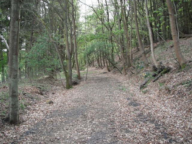
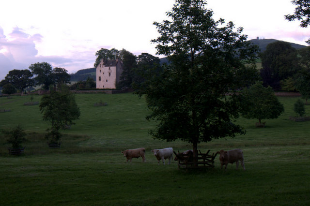
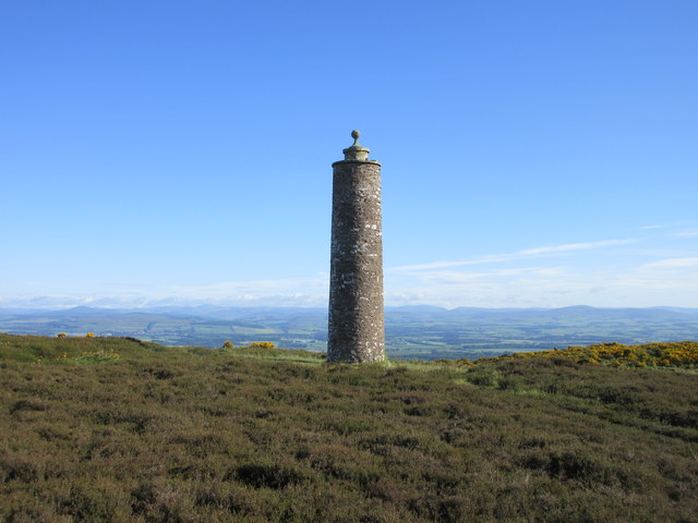
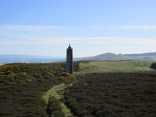
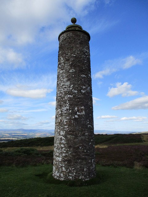
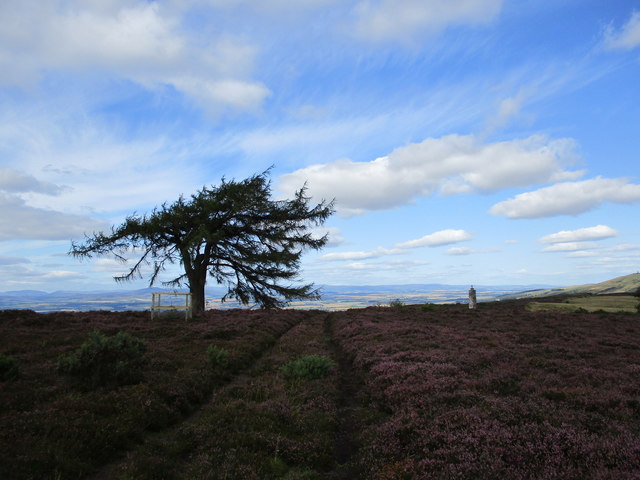
The hill is characterized by its gentle slopes, covered in heather and grass, making it a popular destination for hikers and nature enthusiasts. The summit of Auchtertyre Hill is marked by a trig point, offering a convenient reference point for visitors.
Auchtertyre Hill is part of the Angus Glens, a series of glens and hills that form a picturesque landscape within the Grampian Mountains. The area is known for its diverse wildlife and is home to a variety of bird species, including golden eagles, peregrine falcons, and red grouse.
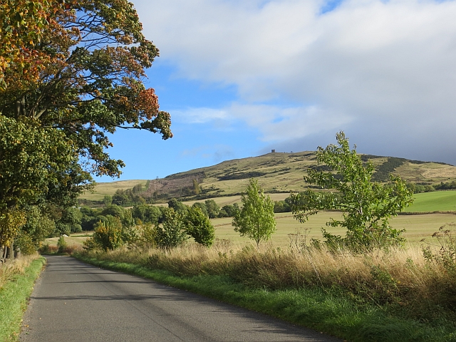
The hill is easily accessible by foot, with several walking routes leading up to the summit. The most common starting point is from the village of Edzell, where a path guides walkers through the beautiful countryside to the top of Auchtertyre Hill.
Overall, Auchtertyre Hill offers a rewarding outdoor experience for those seeking to enjoy the natural beauty of Angus. Its accessible location, scenic views, and diverse wildlife make it a popular destination for both locals and tourists alike.
If you have any feedback on the listing, please let us know in the comments section below.
Auchtertyre Hill Images
Images are sourced within 2km of 56.545976/-3.1465013 or Grid Reference NO2939. Thanks to Geograph Open Source API. All images are credited.
Auchtertyre Hill is located at Grid Ref: NO2939 (Lat: 56.545976, Lng: -3.1465013)
Unitary Authority: Angus
Police Authority: Tayside
What 3 Words
///recorder.likening.awakes. Near Muirhead, Angus
Nearby Locations
Related Wikis

Newtyle Hill
Newtyle Hill is a mountainous landform in the Sidlaw Hills in Angus, Scotland The vicinity has elements of prehistory including presence of the Eassie...
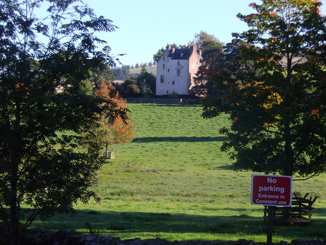
Balcraig Castle
Balcraig Castle was built on lands given to the Oliphants by King Robert the Bruce circa 1317. == Location == Balcraig Castle stood on the western flank...

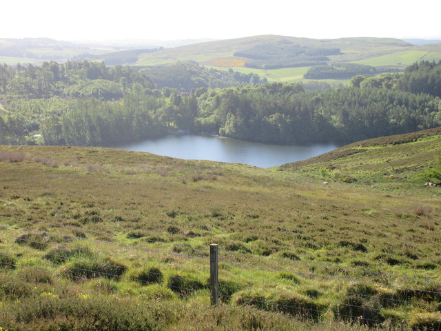
Long Loch (Angus)
Long Loch is a small lowland freshwater loch within the Sidlaw Hills in Angus. It is 1.8 miles south of the village of Newtyle, three miles east-south...

Hatton Castle, Angus
Hatton Castle stands on the lower part of Hatton Hill, the most easterly of the Sidlaw Hills, to the south of Newtyle in Angus, Scotland. The castle overlooks...

Kinpurnie Castle
Kinpurnie Castle is a stately home located 12 miles (19 km) west of Dundee, close to Newtyle, near Blairgowrie, Angus in Scotland. The Kinpurnie estate...
Newtyle
Newtyle is a village in the west of Angus, Scotland. It lies eleven miles (eighteen kilometres) north of Dundee in the southwest of Strathmore, between...

Newtyle railway station (old)
Newtyle railway station served the village of Newtyle, Angus, Scotland from 1831 to 1868 on the Dundee and Newtyle Railway. == History == The station opened...
Newtyle railway station
Newtyle railway station served the village of Newtyle, Angus, Scotland from 1868 to 1955 on the Dundee and Newtyle Railway. == History == The station opened...
Nearby Amenities
Located within 500m of 56.545976,-3.1465013Have you been to Auchtertyre Hill?
Leave your review of Auchtertyre Hill below (or comments, questions and feedback).