Edge Hill

Hill, Mountain in Devon East Devon

England

Edge Hill

St. Mary the Virgin, Combpyne, Devon Probably built on a Saxon foundation, the church dates from c1240 although it has been restored and renovated many times over the centuries.
St. Mary the Virgin, Combpyne, Devon Credit: Ray Jennings

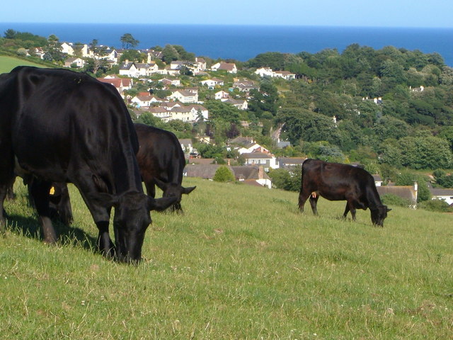
Edge Hill is a prominent hill located in the county of Devon, England. Situated near the village of Littleham, this natural landmark is part of the larger Bideford Bay area, overlooking the stunning coastline of the Bristol Channel. With an elevation of approximately 300 feet (91 meters), Edge Hill offers breathtaking panoramic views of the surrounding countryside and the vast expanse of the ocean.

Covered in lush green vegetation, the hill is a popular destination for nature enthusiasts and hikers. Its well-maintained footpaths and trails provide visitors with opportunities to explore the area's diverse flora and fauna while enjoying the peaceful serenity of the countryside.

The hill is also home to a variety of wildlife, including native bird species, small mammals, and insects. Nature lovers can spot buzzards, kestrels, and other birds of prey soaring overhead, while rabbits and squirrels scuttle through the undergrowth.

Edge Hill has a rich historical significance as well. It is believed to have been a strategic lookout point during ancient times, offering defenders a vantage point to survey the surrounding area. The hill's name reflects its geographical location, as it sits on the edge of a plateau, providing a clear view of the sea.

Overall, Edge Hill in Devon is a natural gem that combines stunning scenery, wildlife diversity, and historical significance. Whether for a leisurely walk, a bird-watching expedition, or simply appreciating the beauty of the English countryside, Edge Hill offers a memorable experience for visitors of all ages.

If you have any feedback on the listing, please let us know in the comments section below.
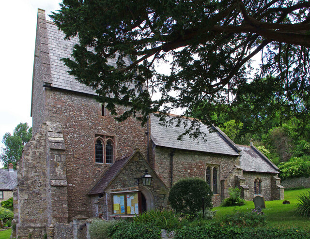
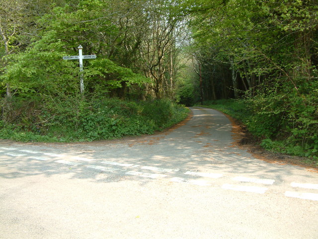
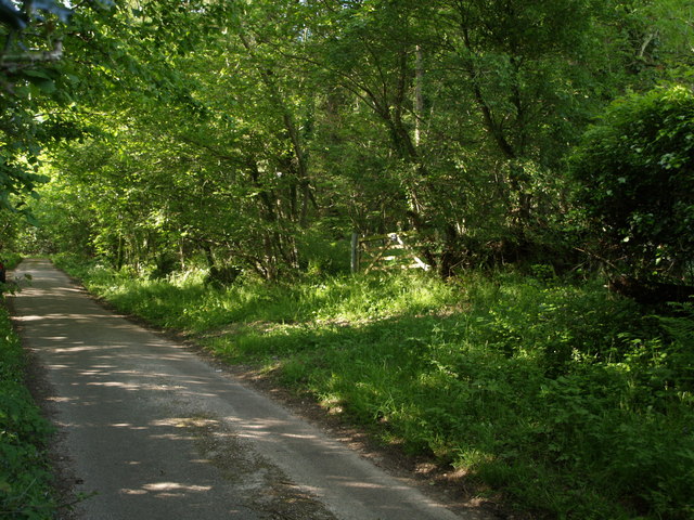
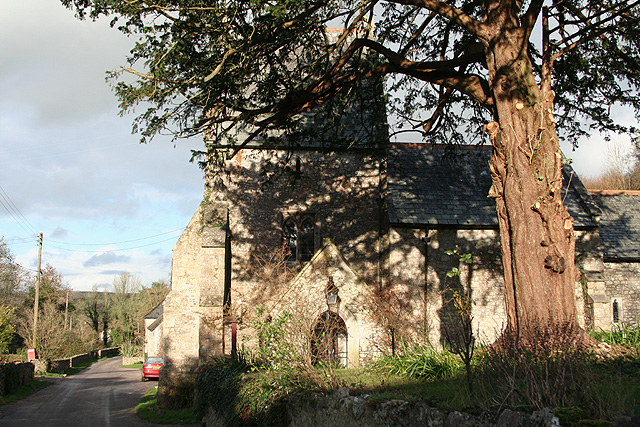
Edge Hill Images

Images are sourced within 2km of 50.735163/-2.9991167 or Grid Reference SY2993. Thanks to Geograph Open Source API. All images are credited.

St. Mary the Virgin, Combpyne, Devon Probably built on a Saxon foundation, the church dates from c1240 although it has been restored and renovated many times over the centuries.
St. Mary the Virgin, Combpyne, Devon
Probably built on a Saxon foundation, the church dates from c1240 although it has been restored and renovated many times over the centuries.
St. Mary the Virgin, Combpyne, Devon It is understood that the Chancel arch was lowered by some 10 feet during the restoration in 1855.
St. Mary the Virgin, Combpyne, Devon
It is understood that the Chancel arch was lowered by some 10 feet during the restoration in 1855.
St. Mary the Virgin, Combpyne, Devon Probably built on a Saxon foundadtion, the church dates from c1240 although it has been restored and renovated many times over the centuries.
St. Mary the Virgin, Combpyne, Devon
Probably built on a Saxon foundadtion, the church dates from c1240 although it has been restored and renovated many times over the centuries.
St. Mary the Virgin, Combpyne, Devon The Chancel and Sanctuary.
St. Mary the Virgin, Combpyne, Devon
The Chancel and Sanctuary.
Musbury: from Musbury Castle to the mouth of the Axe Musbury Castle is a hill fort, 170m high, above and to the south east of Musbury village. Seaton can be seen in the distance
Musbury: from Musbury Castle to the mouth of the Axe
Musbury Castle is a hill fort, 170m high, above and to the south east of Musbury village. Seaton can be seen in the distance
Musbury Castle Seen from the public footpath from Musbury Church. Musbury Castle is a hill fort overlooking the Axe valley
Musbury Castle
Seen from the public footpath from Musbury Church. Musbury Castle is a hill fort overlooking the Axe valley
Bulmoor Cross, Devon Bulmoor Cross is 2 miles east of Musbury.
Bulmoor Cross, Devon
Bulmoor Cross is 2 miles east of Musbury.
Axmouth: Higher Bruckland Farm In Bruckland Lane. Looking east
Axmouth: Higher Bruckland Farm
In Bruckland Lane. Looking east
Combpyne Rousdon: Lower Farm On the lane to Higher Bruckland. Looking north
Combpyne Rousdon: Lower Farm
On the lane to Higher Bruckland. Looking north
Combpyne Rousdon: St Mary the Virgin Looking north on the lane to Musbury. The church, with a saddleback tower, dates from the 13th century and was restored in 1878
Combpyne Rousdon: St Mary the Virgin
Looking north on the lane to Musbury. The church, with a saddleback tower, dates from the 13th century and was restored in 1878
Combpyne Rousdon: above Combpyne Looking north west towards Musbury Castle from a field close to Lidyates Barn
Combpyne Rousdon: above Combpyne
Looking north west towards Musbury Castle from a field close to Lidyates Barn
Combpyne Rousdon: Lidyates Barn Looking north
Combpyne Rousdon: Lidyates Barn
Looking north
Combpyne Rousdon: house at Rousdon Grindon, looking north east by the entrance, with a rain cloud overhead
Combpyne Rousdon: house at Rousdon
Grindon, looking north east by the entrance, with a rain cloud overhead
Combpyne Rousdon: pond in Combpyne village Looking north. A hydraulic ram is marked on the Ordnance Survey 1:25,000 map a luttle north of the pond
Combpyne Rousdon: pond in Combpyne village
Looking north. A hydraulic ram is marked on the Ordnance Survey 1:25,000 map a luttle north of the pond
Bridleway at Green Lane Farm Combpyne Rousdon Bridleway 11 continues the line of Green Lane from Rousdon towards the valley where Combpyne for Landslip station used to be.
Bridleway at Green Lane Farm
Combpyne Rousdon Bridleway 11 continues the line of Green Lane from Rousdon towards the valley where Combpyne for Landslip station used to be.
View from Pudleylake Road The road briefly crosses the southwest corner of this square, but this view from a gateway on the edge of Ashford Hill Plantation looks right across the square. The valley in the centre carries the tributary of the Axe that flows past Great Trill. The first line of trees on the north side of the valley marks the line of the dismantled Axminster & Lyme Regis Railway. Above the fields is Trinity Hill, in <a href="https://www.geograph.org.uk/gridref/SY3095">SY3095</a>.
View from Pudleylake Road
The road briefly crosses the southwest corner of this square, but this view from a gateway on the edge of Ashford Hill Plantation looks right across the square. The valley in the centre carries the tributary of the Axe that flows past Great Trill. The first line of trees on the north side of the valley marks the line of the dismantled Axminster & Lyme Regis Railway. Above the fields is Trinity Hill, in SY3095.
East Devon Way below Bulmoor The green lane from Bulmoor to Combpyne makes a right-angled bend to the left here, dropping to cross a tributary of the Axe, but the East Devon Way, which has followed it below Woodland Farm, continues as a field path, leaving the square after a few metres.
East Devon Way below Bulmoor
The green lane from Bulmoor to Combpyne makes a right-angled bend to the left here, dropping to cross a tributary of the Axe, but the East Devon Way, which has followed it below Woodland Farm, continues as a field path, leaving the square after a few metres.
Ashford Hill Plantation The gate leads into the northern corner of the plantation. The lane (Pudleylake Road) leads to Bulmoor Cross. <a href="https://www.geograph.org.uk/photo/441660">SY2995 : View from Pudleylake Road</a> was taken from a few yards along the lane on the left.
Ashford Hill Plantation
The gate leads into the northern corner of the plantation. The lane (Pudleylake Road) leads to Bulmoor Cross. SY2995 : View from Pudleylake Road was taken from a few yards along the lane on the left.
Show me another place!

Edge Hill is located at Grid Ref: SY2993 (Lat: 50.735163, Lng: -2.9991167)

Administrative County: Devon

District: East Devon

Police Authority: Devon and Cornwall

What 3 Words

///swimsuits.earlobes.yell. Near Lyme Regis, Dorset

Related Wikis

Combpyne railway station

Combpyne railway station was the intermediate station on the Lyme Regis branch line in East Devon, England. Serving the village of Combpyne, it was sited...

Combpyne

Combpyne is a village and former civil parish, now in the parish of Combpyne Rousdon, in the East Devon district, in the county of Devon, England. It is...

Musbury Castle

Musbury Castle is an Iron Age Hill fort situated above the Village of Musbury in Devon. The fort occupies a commanding hill top approx 175 Metres above...

Combpyne Rousdon

Combpyne Rousdon is a civil parish in the East Devon district of the county of Devon in England. As well as the villages of Combpyne and Rousdon, it contains...

Holcombe, East Devon

Holcombe is a hamlet in the district of East Devon in the English county of Devon. Holcombe is located northwest of the town of Lyme Regis about a mile...

Rousdon

Rousdon is a village and former civil parish, now in the parish of Combpyne Rousdon, in the East Devon district, in the county of Devon, England. It is...

Musbury

Musbury is a village and civil parish in the East Devon district of Devon, England. It lies approximately 2 miles (3 km) away from Colyton and 2+1⁄2 miles...

Abbey Gate, Devon

Abbey Gate is a hamlet just south of Axminster in Devon, England. Abbey Gate is at the junction between the A35 and A358 main roads, just west of Wyke...

Nearby Amenities

Located within 500m of 50.735163,-2.9991167
The data included in this document is from www.openstreetmap.org. The data is made available under ODbL.

Have you been to Edge Hill?

Leave your review of Edge Hill below (or comments, questions and feedback).