Ten Acre Coppice

Wood, Forest in Devon East Devon

England

Ten Acre Coppice

St. Mary the Virgin, Combpyne, Devon Probably built on a Saxon foundation, the church dates from c1240 although it has been restored and renovated many times over the centuries.
St. Mary the Virgin, Combpyne, Devon Credit: Ray Jennings

Ten Acre Coppice is a charming woodland located in the county of Devon, England. Covering an area of approximately ten acres, it is a haven for nature enthusiasts and those seeking tranquility amidst the beauty of the forest.

Situated in a rural part of Devon, Ten Acre Coppice offers a diverse range of flora and fauna. The woodland is predominantly composed of native tree species, including oak, beech, and birch, which form a dense canopy overhead. The forest floor is adorned with a carpet of wildflowers, creating a vibrant and colorful display during the spring and summer months.

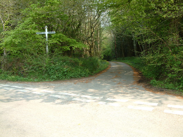
The woodland is intersected by a network of winding paths, allowing visitors to explore its enchanting nooks and crannies. These paths lead to hidden clearings, where one can rest and enjoy the serenity of the surroundings. The air is filled with the sweet fragrance of the forest, and the sound of birdsong provides a soothing backdrop.

Ten Acre Coppice is also home to a variety of wildlife. Squirrels can be seen scampering among the branches, while woodpeckers tap away at the trunks of trees. If you're lucky, you may spot a deer gracefully bounding through the undergrowth or catch a glimpse of a fox darting between the trees.

The woodland is open to the public year-round, and visitors are encouraged to respect its natural beauty and preserve its delicate ecosystem. Ten Acre Coppice offers a peaceful retreat from the hustle and bustle of everyday life, providing a truly immersive experience in the heart of Devon's countryside.

If you have any feedback on the listing, please let us know in the comments section below.

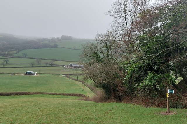
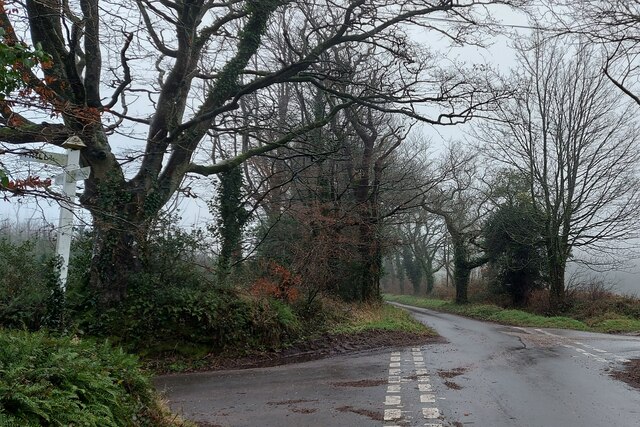
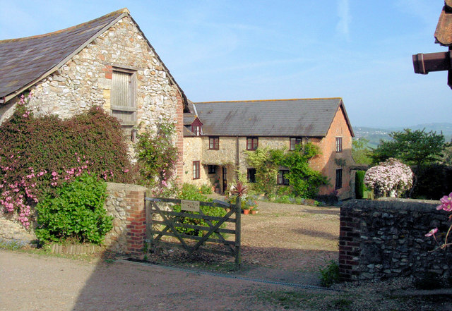
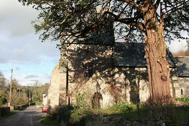
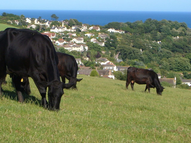
Ten Acre Coppice Images

Images are sourced within 2km of 50.738775/-2.9983716 or Grid Reference SY2993. Thanks to Geograph Open Source API. All images are credited.

St. Mary the Virgin, Combpyne, Devon Probably built on a Saxon foundation, the church dates from c1240 although it has been restored and renovated many times over the centuries.
St. Mary the Virgin, Combpyne, Devon
Probably built on a Saxon foundation, the church dates from c1240 although it has been restored and renovated many times over the centuries.
St. Mary the Virgin, Combpyne, Devon It is understood that the Chancel arch was lowered by some 10 feet during the restoration in 1855.
St. Mary the Virgin, Combpyne, Devon
It is understood that the Chancel arch was lowered by some 10 feet during the restoration in 1855.
St. Mary the Virgin, Combpyne, Devon Probably built on a Saxon foundadtion, the church dates from c1240 although it has been restored and renovated many times over the centuries.
St. Mary the Virgin, Combpyne, Devon
Probably built on a Saxon foundadtion, the church dates from c1240 although it has been restored and renovated many times over the centuries.
St. Mary the Virgin, Combpyne, Devon The Chancel and Sanctuary.
St. Mary the Virgin, Combpyne, Devon
The Chancel and Sanctuary.
The East Devon Way through Seller's Wood On the flank of the Musbury Castle hill fort
The East Devon Way through Seller's Wood
On the flank of the Musbury Castle hill fort
View south-east from Seller's Wood Looking down to a tributary valley to the Lower Axe
View south-east from Seller's Wood
Looking down to a tributary valley to the Lower Axe
The East Devon Way passing Crocker's Pit Coppice The buildings on the valley floor are part of Higher Bruckland Farm
The East Devon Way passing Crocker's Pit Coppice
The buildings on the valley floor are part of Higher Bruckland Farm
Joining the track to Bulmoor Cross From here to its end at Lyme Regis the East Devon Way will be almost entirely on a road or hard track.
Joining the track to Bulmoor Cross
From here to its end at Lyme Regis the East Devon Way will be almost entirely on a road or hard track.
Bulmoor Cross The East Devon Way comes up the track on the right and turns down towards Lyme regis ahead.
Bulmoor Cross
The East Devon Way comes up the track on the right and turns down towards Lyme regis ahead.
Musbury: from Musbury Castle to the mouth of the Axe Musbury Castle is a hill fort, 170m high, above and to the south east of Musbury village. Seaton can be seen in the distance
Musbury: from Musbury Castle to the mouth of the Axe
Musbury Castle is a hill fort, 170m high, above and to the south east of Musbury village. Seaton can be seen in the distance
Musbury Castle Seen from the public footpath from Musbury Church. Musbury Castle is a hill fort overlooking the Axe valley
Musbury Castle
Seen from the public footpath from Musbury Church. Musbury Castle is a hill fort overlooking the Axe valley
Bulmoor Cross, Devon Bulmoor Cross is 2 miles east of Musbury.
Bulmoor Cross, Devon
Bulmoor Cross is 2 miles east of Musbury.
Little Trill Holiday Cottages, Trill A most wonderful part of the Axe Valley.
Little Trill Holiday Cottages, Trill
A most wonderful part of the Axe Valley.
Axmouth: Higher Bruckland Farm In Bruckland Lane. Looking east
Axmouth: Higher Bruckland Farm
In Bruckland Lane. Looking east
Combpyne Rousdon: Lower Farm On the lane to Higher Bruckland. Looking north
Combpyne Rousdon: Lower Farm
On the lane to Higher Bruckland. Looking north
Combpyne Rousdon: St Mary the Virgin Looking north on the lane to Musbury. The church, with a saddleback tower, dates from the 13th century and was restored in 1878
Combpyne Rousdon: St Mary the Virgin
Looking north on the lane to Musbury. The church, with a saddleback tower, dates from the 13th century and was restored in 1878
Combpyne Rousdon: above Combpyne Looking north west towards Musbury Castle from a field close to Lidyates Barn
Combpyne Rousdon: above Combpyne
Looking north west towards Musbury Castle from a field close to Lidyates Barn
Combpyne Rousdon: Lidyates Barn Looking north
Combpyne Rousdon: Lidyates Barn
Looking north
Show me another place!

Ten Acre Coppice is located at Grid Ref: SY2993 (Lat: 50.738775, Lng: -2.9983716)

Administrative County: Devon

District: East Devon

Police Authority: Devon and Cornwall

What 3 Words

///hurray.bandaged.crafted. Near Lyme Regis, Dorset

Related Wikis

Musbury Castle

Musbury Castle is an Iron Age Hill fort situated above the Village of Musbury in Devon. The fort occupies a commanding hill top approx 175 Metres above...

Combpyne railway station

Combpyne railway station was the intermediate station on the Lyme Regis branch line in East Devon, England. Serving the village of Combpyne, it was sited...

Combpyne

Combpyne is a village and former civil parish, now in the parish of Combpyne Rousdon, in the East Devon district, in the county of Devon, England. It is...

Holcombe, East Devon

Holcombe is a hamlet in the district of East Devon in the English county of Devon. Holcombe is located northwest of the town of Lyme Regis about a mile...

Nearby Amenities

Located within 500m of 50.738775,-2.9983716
The data included in this document is from www.openstreetmap.org. The data is made available under ODbL.

Have you been to Ten Acre Coppice?

Leave your review of Ten Acre Coppice below (or comments, questions and feedback).