Bell Wood
Wood, Forest in Lancashire South Lakeland
England
Bell Wood

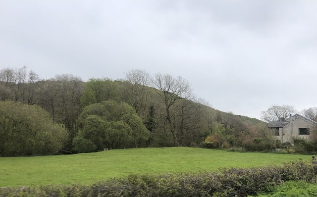
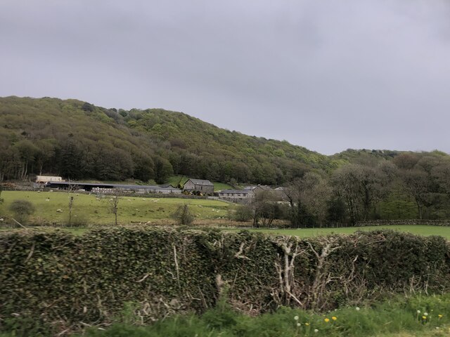
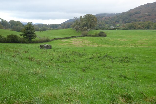
Bell Wood is a picturesque woodland located in the county of Lancashire, England. Covering an area of approximately 50 acres, it is a popular destination for nature enthusiasts and hikers alike. The wood is situated near the village of Bell, hence its name.
The woodland is predominantly composed of deciduous trees such as oak, beech, and birch, which create a dense canopy overhead, providing shade and shelter for a wide range of flora and fauna. Bluebells carpet the forest floor in spring, creating a breathtaking display of vibrant colors.
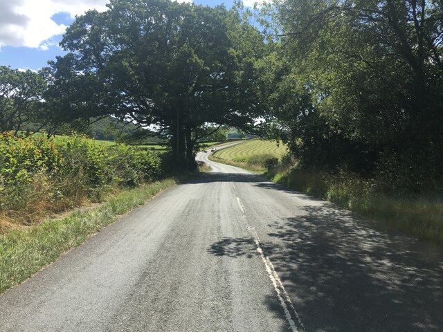
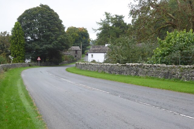
A network of well-maintained trails winds through Bell Wood, offering visitors the opportunity to explore its natural beauty. These trails are suitable for all abilities and provide access to the wood's various features, including a small stream that meanders through the heart of the forest.
Bell Wood is home to an abundance of wildlife. Birdwatchers will delight in the opportunity to spot species such as woodpeckers, nuthatches, and tawny owls, which can often be heard hooting at dusk. Squirrels scamper among the treetops, and if lucky, visitors may catch a glimpse of a roe deer gracefully navigating through the underbrush.
The wood is managed by a local conservation group who ensure its preservation and protection. They organize regular guided walks and educational events, providing visitors with insights into the woodland's ecology and conservation efforts.
Overall, Bell Wood is a serene and enchanting natural haven, offering visitors a chance to immerse themselves in the beauty of Lancashire's woodlands and experience the wonders of the British countryside.
If you have any feedback on the listing, please let us know in the comments section below.
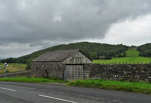
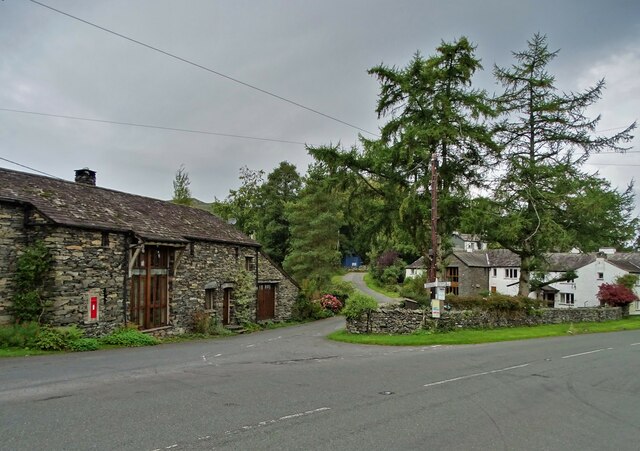
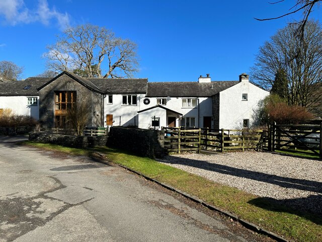
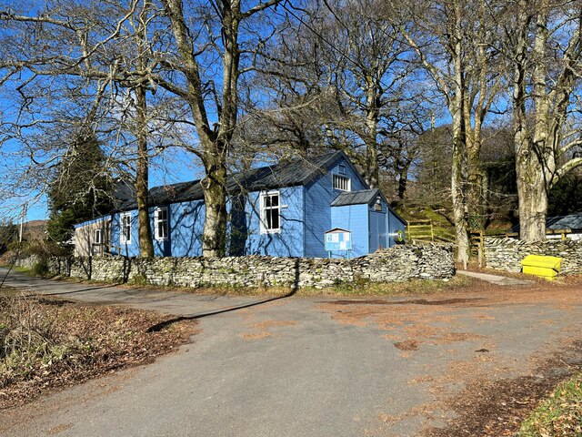
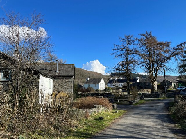
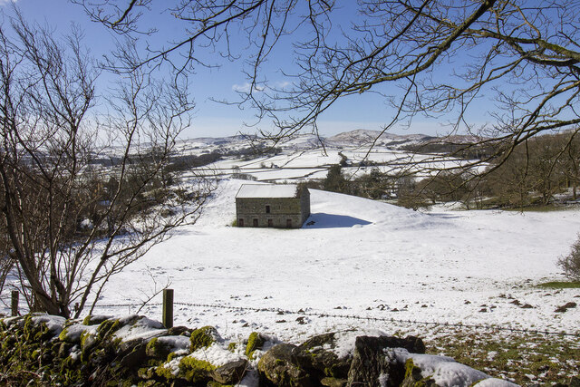
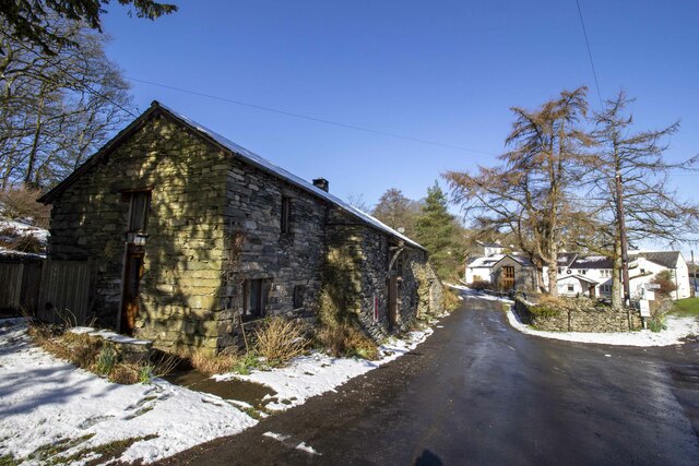
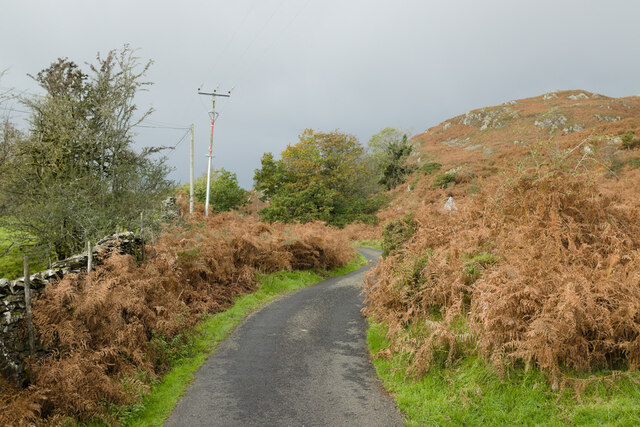
Bell Wood Images
Images are sourced within 2km of 54.278551/-3.0817501 or Grid Reference SD2987. Thanks to Geograph Open Source API. All images are credited.


Bell Wood is located at Grid Ref: SD2987 (Lat: 54.278551, Lng: -3.0817501)
Administrative County: Cumbria
District: South Lakeland
Police Authority: Cumbria
What 3 Words
///shut.hazy.tentacles. Near Ulverston, Cumbria
Nearby Locations
Related Wikis

Furness
Furness ( FUR-niss, fur-NESS) is a peninsula and region of Cumbria, England. Together with the Cartmel Peninsula it forms North Lonsdale, historically...

Bandrake Head
Bandrake Head is a village in Cumbria, England. == External links == Media related to Bandrake Head at Wikimedia Commons

Blawith and Subberthwaite
Blawith and Subberthwaite is a civil parish in the South Lakeland district of Cumbria, England. It is situated in the Lake District National Park, and...

St John the Baptist's Church, Blawith
St John the Baptist's Church is a redundant Anglican church in the settlement of Blawith, Cumbria, England. It is located to the east of the A5084 road...

Lowick, Cumbria
Lowick is a village and civil parish in the South Lakeland district of the English county of Cumbria. Prior to 1 April 1974 it was part of Lancashire,...

North Lonsdale Rural District
North Lonsdale was a rural district in the county of Lancashire, England from 1894 to 1974. It was created in 1894 as the Ulverston Rural District, and...

Oxen Park
Oxen Park is a hamlet in the English county of Cumbria. Oxen Park lies on the watershed between Rusland and Colton Beck valleys in South Lakeland, and...

Colton, Cumbria
Colton is a village and civil parish in the South Lakeland district of Cumbria, England. In the 2001 census the parish had a population of 765, decreasing...
Nearby Amenities
Located within 500m of 54.278551,-3.0817501Have you been to Bell Wood?
Leave your review of Bell Wood below (or comments, questions and feedback).