Log Wood
Wood, Forest in Lancashire South Lakeland
England
Log Wood

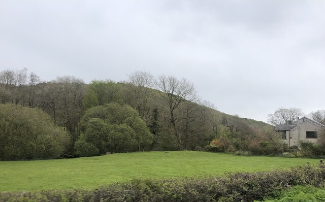
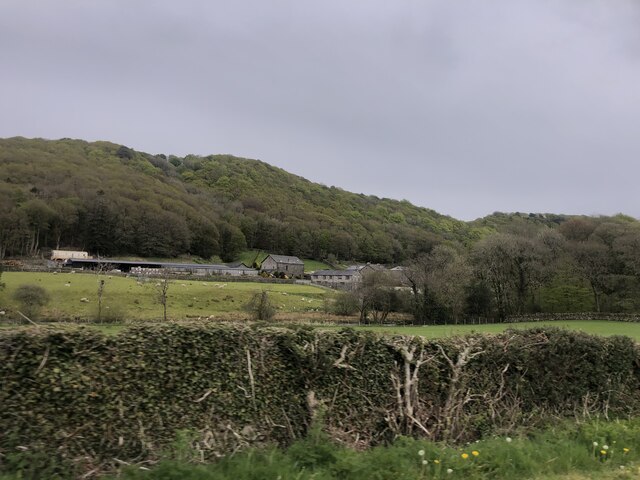
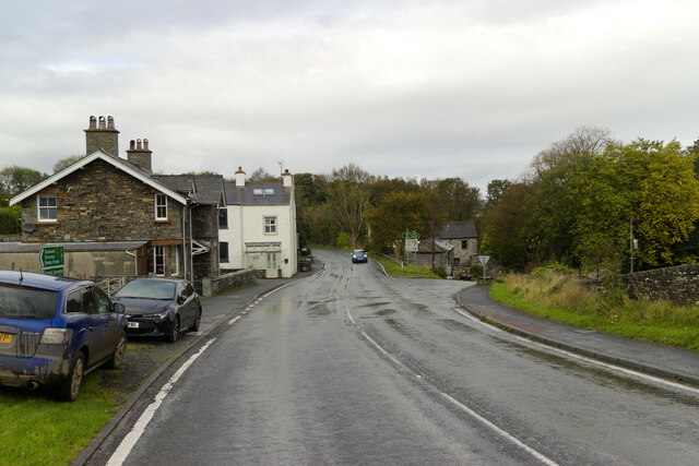
Log Wood is a small village located in the county of Lancashire, England. Nestled in the heart of a dense forest, the village is named after the abundance of logwood trees that grow in the area. With a population of around 500 residents, Log Wood offers a peaceful and secluded lifestyle to its inhabitants.
The village is characterized by its picturesque surroundings, with lush greenery and a serene atmosphere. The forest that surrounds Log Wood is home to a diverse range of flora and fauna, making it an ideal location for nature enthusiasts and wildlife lovers. The towering logwood trees provide a natural canopy, casting beautiful shadows and creating a calm and soothing ambience throughout the village.
Despite its small size, Log Wood boasts a strong sense of community. The residents are known for their friendly and welcoming nature, and the village often organizes social events and gatherings for locals to come together and celebrate. The village also has a small primary school, providing education for the children of Log Wood and surrounding areas.
In terms of amenities, Log Wood has a local convenience store that caters to the basic needs of its residents. For more extensive shopping and entertainment options, the nearby town of Lancashire is easily accessible by car or public transport.
Overall, Log Wood offers a tranquil and idyllic setting for those seeking a close connection with nature and a tight-knit community.
If you have any feedback on the listing, please let us know in the comments section below.
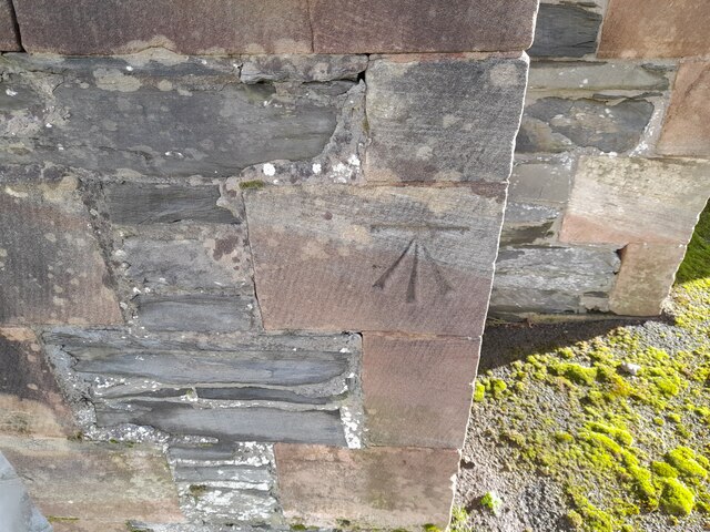
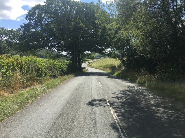
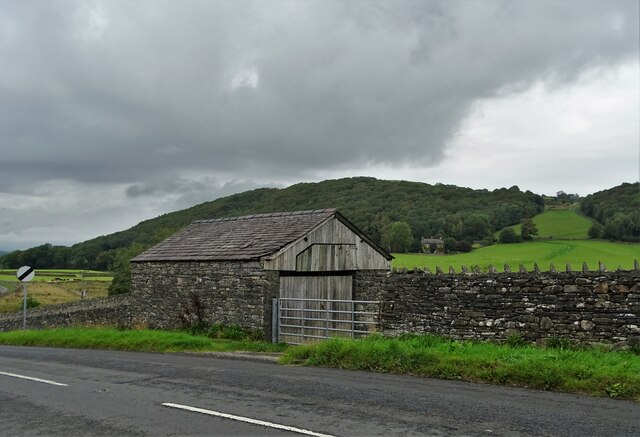
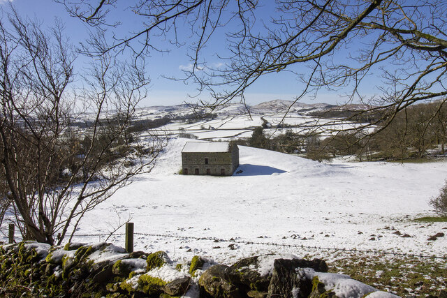
Log Wood Images
Images are sourced within 2km of 54.274115/-3.0783014 or Grid Reference SD2987. Thanks to Geograph Open Source API. All images are credited.


Log Wood is located at Grid Ref: SD2987 (Lat: 54.274115, Lng: -3.0783014)
Administrative County: Cumbria
District: South Lakeland
Police Authority: Cumbria
What 3 Words
///sounds.rekindle.exposing. Near Ulverston, Cumbria
Nearby Locations
Related Wikis

Lowick, Cumbria
Lowick is a village and civil parish in the South Lakeland district of the English county of Cumbria. Prior to 1 April 1974 it was part of Lancashire,...

Furness
Furness ( FUR-niss, fur-NESS) is a peninsula and region of Cumbria, England. Together with the Cartmel Peninsula it forms North Lonsdale, historically...

Bandrake Head
Bandrake Head is a village in Cumbria, England. == External links == Media related to Bandrake Head at Wikimedia Commons

Blawith and Subberthwaite
Blawith and Subberthwaite is a civil parish in the South Lakeland district of Cumbria, England. It is situated in the Lake District National Park, and...

St John the Baptist's Church, Blawith
St John the Baptist's Church is a redundant Anglican church in the settlement of Blawith, Cumbria, England. It is located to the east of the A5084 road...

Colton, Cumbria
Colton is a village and civil parish in the South Lakeland district of Cumbria, England. In the 2001 census the parish had a population of 765, decreasing...

Oxen Park
Oxen Park is a hamlet in the English county of Cumbria. Oxen Park lies on the watershed between Rusland and Colton Beck valleys in South Lakeland, and...

North Lonsdale Rural District
North Lonsdale was a rural district in the county of Lancashire, England from 1894 to 1974. It was created in 1894 as the Ulverston Rural District, and...
Nearby Amenities
Located within 500m of 54.274115,-3.0783014Have you been to Log Wood?
Leave your review of Log Wood below (or comments, questions and feedback).