Newtyle Hill

Hill, Mountain in Angus

Scotland

Newtyle Hill

Old railway track around Newtyle Now a nice footpath.
Old railway track around Newtyle Credit: AllanKnaik

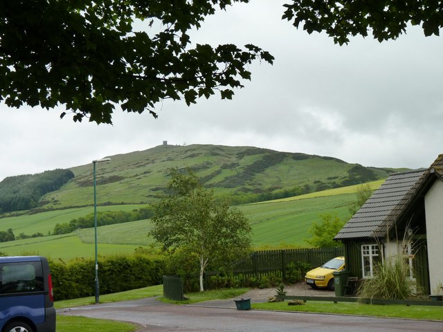
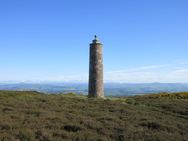
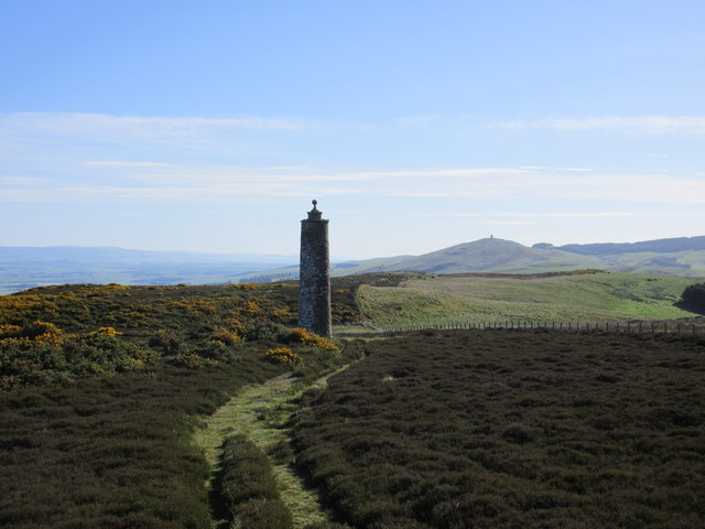
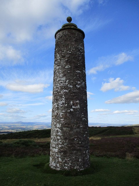
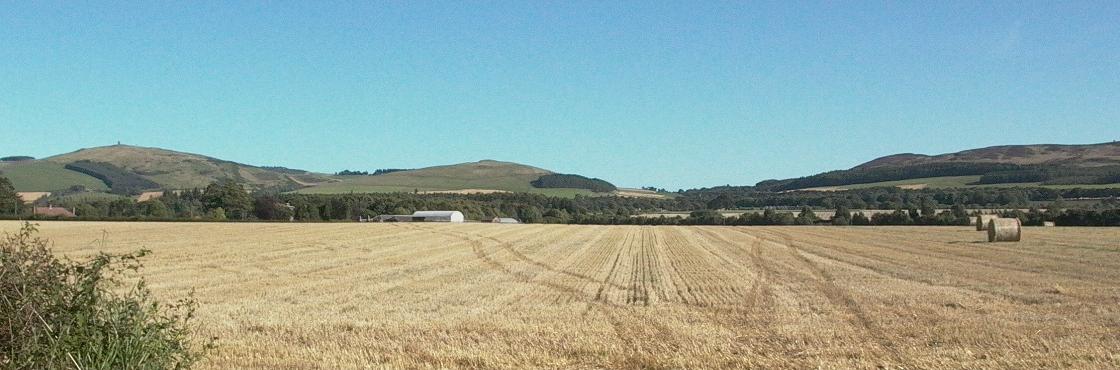
Newtyle Hill is a prominent landmark situated in the Angus region of Scotland. It is located near the village of Newtyle, approximately 15 miles west of Dundee. With an elevation of around 400 meters (1,312 feet), it is classified as a hill rather than a mountain.

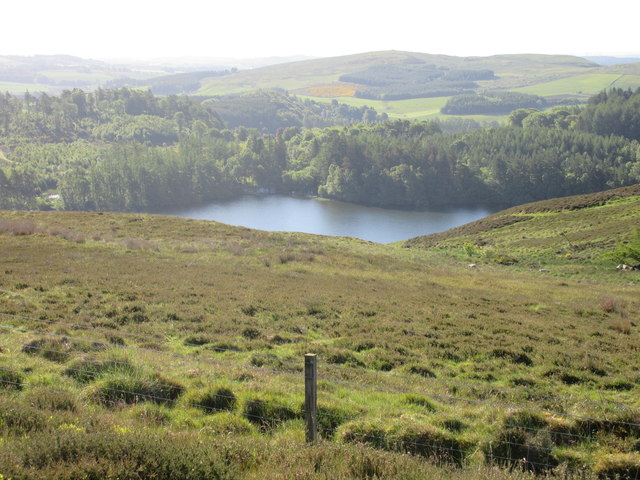
The hill offers breathtaking views of the surrounding countryside, providing visitors with a panoramic vista of the Angus Glens, Strathmore Valley, and the Sidlaw Hills. Its prominent position also allows for stunning vistas of the River Tay and the Firth of Tay in the distance.

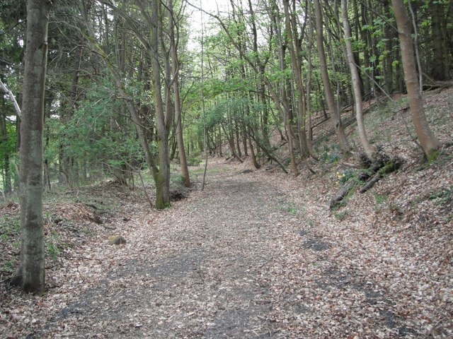
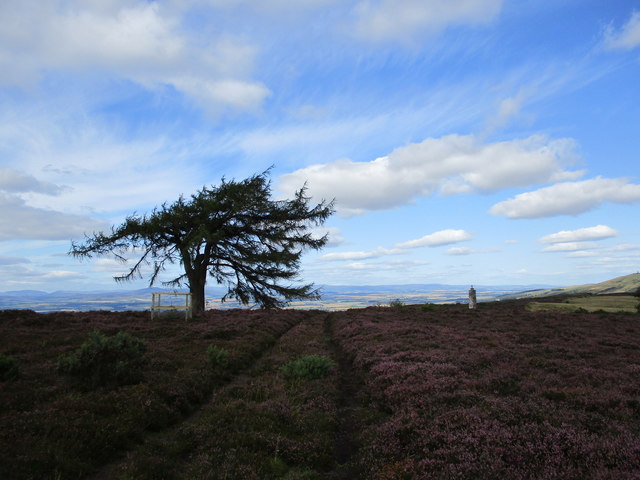
Newtyle Hill is a popular destination for outdoor enthusiasts, offering a range of activities such as hiking, walking, and nature exploration. There are various hiking routes that cater to different levels of fitness and experience, allowing visitors to explore the hill at their own pace. The trails are well-maintained, often passing through picturesque woodlands and open moorland, providing a diverse and enjoyable hiking experience.

The hill is also home to a rich variety of flora and fauna, with heather, gorse, and wildflowers dotting the landscape. Birdwatchers will be delighted to spot various species of birds, including buzzards and kestrels, soaring above the hill. Additionally, the hill provides a habitat for rabbits, hares, and deer, enhancing the natural beauty of the area.

Overall, Newtyle Hill is a stunning natural landmark in Angus, Scotland, offering visitors a chance to immerse themselves in the region's scenic beauty and enjoy a range of outdoor activities.

If you have any feedback on the listing, please let us know in the comments section below.
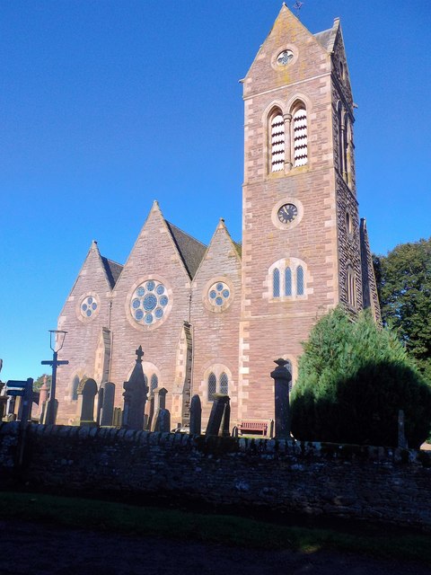
Newtyle Hill Images

Images are sourced within 2km of 56.544944/-3.150276 or Grid Reference NO2939. Thanks to Geograph Open Source API. All images are credited.

Old railway track around Newtyle Now a nice footpath.
Old railway track around Newtyle
Now a nice footpath.
Gate of sewage works Entry to Newtyle sewage works off Bulb Park road.
Gate of sewage works
Entry to Newtyle sewage works off Bulb Park road.
Bulb Park houses With Kinpurney Hill and tower in the background.
Bulb Park houses
With Kinpurney Hill and tower in the background.
Parkland at Hatton, Newtyle
Hatton Castle, Newtyle Ruined until at least the 1960s, but relatively recently restored.
Hatton Castle, Newtyle
Ruined until at least the 1960s, but relatively recently restored.
Hatton Castle (restored), Newtyle
Long Loch from Keillor Hill Part of Long Loch viewed from Keillor Hill to the north-west.
Long Loch from Keillor Hill
Part of Long Loch viewed from Keillor Hill to the north-west.
Mackenzie Meridian (Privy's Prap) Privy's Prap monument, with Strathmore and the mountains beyond.
Mackenzie Meridian (Privy's Prap)
Privy's Prap monument, with Strathmore and the mountains beyond.
Mackenzie Meridian from the south-west The Privy's Prap monument with Kinpurnie Hill to the right.
Mackenzie Meridian from the south-west
The Privy's Prap monument with Kinpurnie Hill to the right.
View towards Wester Keith Looking from the flank of the hillside beneath Lundie Craigs towards farm buildings at Wester Keith.
View towards Wester Keith
Looking from the flank of the hillside beneath Lundie Craigs towards farm buildings at Wester Keith.
Highland cattle on Westerkeith Hill A view towards Long Loch with some cattle grazing the Sidlaw Hills in the foreground.
Highland cattle on Westerkeith Hill
A view towards Long Loch with some cattle grazing the Sidlaw Hills in the foreground.
Privy's Prap (the MacKenzie Meridian) This tower is intended to line up with the observatory on the summit of Kilpurnie Hill; both were constructed in the 1770s for James MacKenzie, local landowner and keen astronomer.
Privy's Prap (the MacKenzie Meridian)
This tower is intended to line up with the observatory on the summit of Kilpurnie Hill; both were constructed in the 1770s for James MacKenzie, local landowner and keen astronomer.
Larch tree near Privy's Prap Privy's Prap is a local name for the monument named on the map as the MacKenzie Meridian.
Larch tree near Privy's Prap
Privy's Prap is a local name for the monument named on the map as the MacKenzie Meridian.
Newtyle:Drive Safely Entry to village on B954 from Auchterhouse.
Newtyle:Drive Safely
Entry to village on B954 from Auchterhouse.
Newtyle parish church Kirkton Road. Built 1872.  <span class="nowrap"><a title="http://canmore.org.uk/site/30818/newtyle-parish-church" rel="nofollow ugc noopener" href="http://canmore.org.uk/site/30818/newtyle-parish-church">Link</a><img style="margin-left:2px;" alt="External link" title="External link - shift click to open in new window" src="https://s1.geograph.org.uk/img/external.png" width="10" height="10"/></span>
Newtyle parish church
Kirkton Road. Built 1872. LinkExternal link
Corner of Kirkton Road and Smiddy Road, Newtyle
Gated access to Kirkton Cemetery
View to houses on Coupar Road, Newtyle From Kirkton Road; over a steel gate and across a field.
View to houses on Coupar Road, Newtyle
From Kirkton Road; over a steel gate and across a field.
Show me another place!

Newtyle Hill is located at Grid Ref: NO2939 (Lat: 56.544944, Lng: -3.150276)

Unitary Authority: Angus

Police Authority: Tayside

What 3 Words

///rinsed.tidal.blemishes. Near Muirhead, Angus

Related Wikis

Newtyle Hill

Newtyle Hill is a mountainous landform in the Sidlaw Hills in Angus, Scotland The vicinity has elements of prehistory including presence of the Eassie...

Long Loch (Angus)

Long Loch is a small lowland freshwater loch within the Sidlaw Hills in Angus. It is 1.8 miles south of the village of Newtyle, three miles east-south...
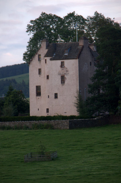
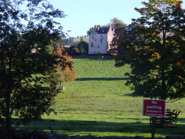
Kinpurnie Castle

Kinpurnie Castle is a stately home located 12 miles (19 km) west of Dundee, close to Newtyle, near Blairgowrie, Angus in Scotland. The Kinpurnie estate...

Balcraig Castle

Balcraig Castle was built on lands given to the Oliphants by King Robert the Bruce circa 1317. == Location == Balcraig Castle stood on the western flank...

Hatton Castle, Angus

Hatton Castle stands on the lower part of Hatton Hill, the most easterly of the Sidlaw Hills, to the south of Newtyle in Angus, Scotland. The castle overlooks...

Newtyle

Newtyle is a village in the west of Angus, Scotland. It lies eleven miles (eighteen kilometres) north of Dundee in the southwest of Strathmore, between...

Newtyle railway station (old)

Newtyle railway station served the village of Newtyle, Angus, Scotland from 1831 to 1868 on the Dundee and Newtyle Railway. == History == The station opened...

Newtyle railway station

Newtyle railway station served the village of Newtyle, Angus, Scotland from 1868 to 1955 on the Dundee and Newtyle Railway. == History == The station opened...

Nearby Amenities

Located within 500m of 56.544944,-3.150276
Auchtertyre Hill
Ele: 278
Natural: peak
Lat/Long: 56.5449188/-3.1503625
Newtyle Hill
Ele: 270
Natural: peak
Wikidata: Q7020817
Wikipedia: en:Newtyle Hill
Lat/Long: 56.5459827/-3.1468533
The data included in this document is from www.openstreetmap.org. The data is made available under ODbL.

Have you been to Newtyle Hill?

Leave your review of Newtyle Hill below (or comments, questions and feedback).