Donald's Brae
Downs, Moorland in Angus
Scotland
Donald's Brae
Donald's Brae is a picturesque area located in Angus, Scotland. Situated on the eastern coast of the country, it encompasses a combination of downs and moorland landscapes. With its stunning natural beauty, it has become a popular destination for nature enthusiasts and hikers.
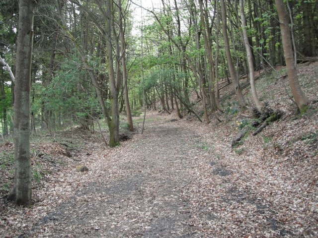
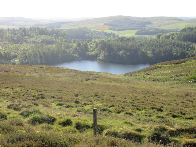
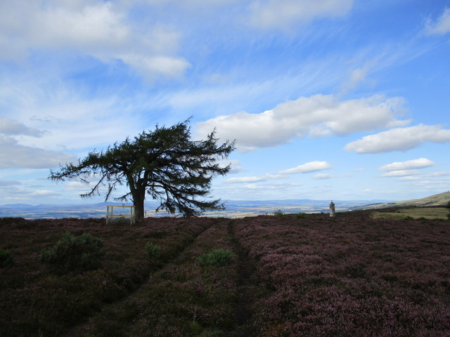
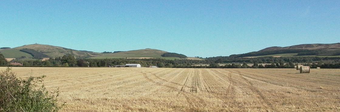
The downs of Donald's Brae offer rolling hills and sweeping vistas, providing visitors with breathtaking panoramic views of the surrounding countryside. The undulating terrain is covered in lush green grasses and scattered with wildflowers, creating a vibrant and serene atmosphere. These downs are also home to a variety of wildlife, including birds, rabbits, and occasional deer.
Adjacent to the downs, the moorland of Donald's Brae provides a unique and distinctive landscape. The moors are characterized by their heather-covered hills and peat bogs, adding a touch of ruggedness to the area. This diverse habitat supports a range of plant and animal species, some of which are endemic to the Scottish moorlands.
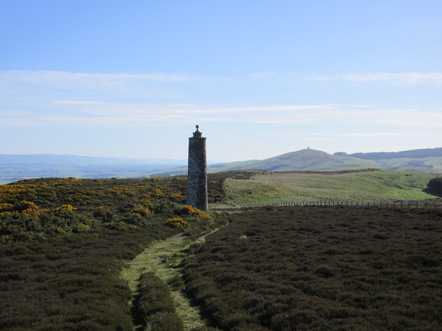
The area is crisscrossed by numerous walking trails, allowing visitors to explore the natural wonders of Donald's Brae. These trails cater to all levels of hikers, from leisurely strolls to more challenging hikes. Along the way, hikers can enjoy the tranquility of the surroundings and may even spot rare flora and fauna.
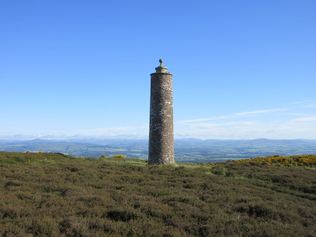
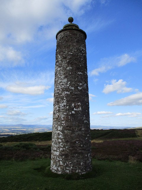
Donald's Brae is not only a haven for nature lovers but also a place of historical significance. The area is dotted with ancient ruins and stone circles, providing a glimpse into the region's past. These historical sites offer a fascinating insight into the rich cultural heritage of Angus.
In conclusion, Donald's Brae in Angus, Scotland, is a captivating blend of downs and moorland landscapes. Its natural beauty, diverse wildlife, and historical sites make it an ideal destination for those seeking an immersive and rewarding outdoor experience.
If you have any feedback on the listing, please let us know in the comments section below.
Donald's Brae Images
Images are sourced within 2km of 56.542281/-3.1487478 or Grid Reference NO2939. Thanks to Geograph Open Source API. All images are credited.


Donald's Brae is located at Grid Ref: NO2939 (Lat: 56.542281, Lng: -3.1487478)
Unitary Authority: Angus
Police Authority: Tayside
What 3 Words
///streak.speeches.remodel. Near Muirhead, Angus
Nearby Locations
Related Wikis

Newtyle Hill
Newtyle Hill is a mountainous landform in the Sidlaw Hills in Angus, Scotland The vicinity has elements of prehistory including presence of the Eassie...

Long Loch (Angus)
Long Loch is a small lowland freshwater loch within the Sidlaw Hills in Angus. It is 1.8 miles south of the village of Newtyle, three miles east-south...

Pitlyal Loch
Pitlyal Loch also known as Round Loch is a small lochan in Sidlaw Hills in Angus. It is located southeast of Long Loch and is almost directly south of...

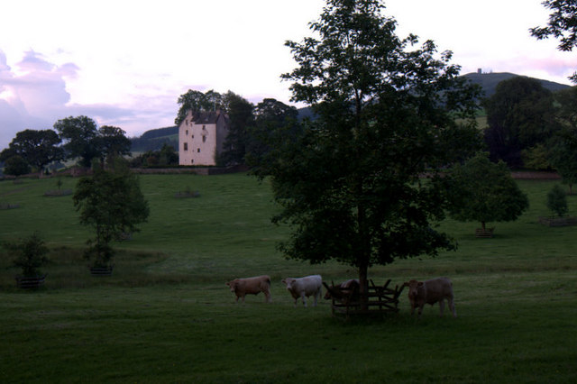
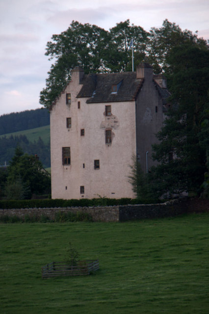
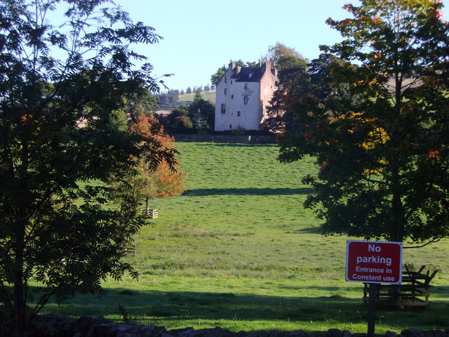
Kinpurnie Castle
Kinpurnie Castle is a stately home located 12 miles (19 km) west of Dundee, close to Newtyle, near Blairgowrie, Angus in Scotland. The Kinpurnie estate...
Balcraig Castle
Balcraig Castle was built on lands given to the Oliphants by King Robert the Bruce circa 1317. == Location == Balcraig Castle stood on the western flank...

Hatton Castle, Angus
Hatton Castle stands on the lower part of Hatton Hill, the most easterly of the Sidlaw Hills, to the south of Newtyle in Angus, Scotland. The castle overlooks...
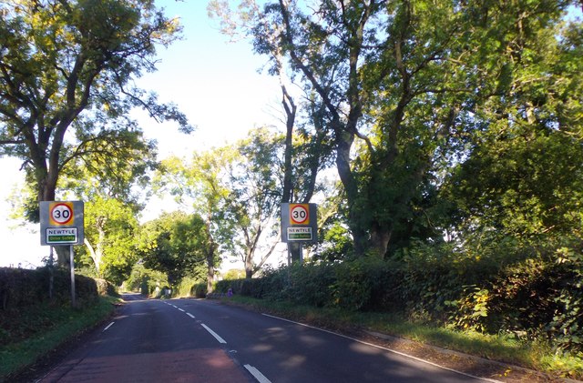
Newtyle
Newtyle is a village in the west of Angus, Scotland. It lies eleven miles (eighteen kilometres) north of Dundee in the southwest of Strathmore, between...

Newtyle railway station (old)
Newtyle railway station served the village of Newtyle, Angus, Scotland from 1831 to 1868 on the Dundee and Newtyle Railway. == History == The station opened...
Nearby Amenities
Located within 500m of 56.542281,-3.1487478Have you been to Donald's Brae?
Leave your review of Donald's Brae below (or comments, questions and feedback).