Abbey Hill

Hill, Mountain in Somerset Somerset West and Taunton

England

Abbey Hill

In between the rain Taken a yard or two from the point at which <a href="https://www.geograph.org.uk/photo/474151">ST3017 : Folly Farm</a> was taken, and in the same brief burst of sunshine. Footpath CH1/16 arrives at the bend in Folly Drove.
In between the rain Credit: Derek Harper

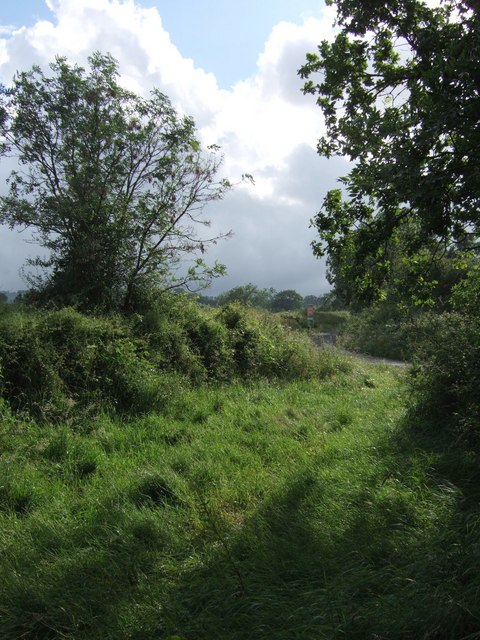
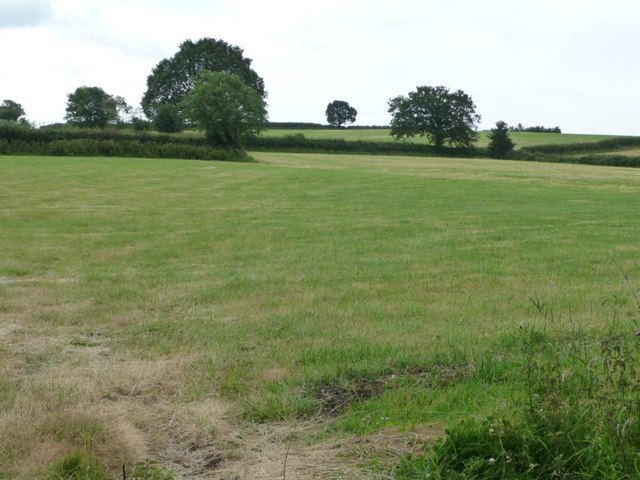
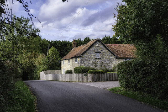
Abbey Hill is a prominent hill located in Somerset, England. Situated near the village of Buckland St Mary, it forms part of the eastern end of the Blackdown Hills Area of Outstanding Natural Beauty. With an elevation of approximately 258 meters (846 feet), Abbey Hill offers breathtaking panoramic views of the surrounding countryside.

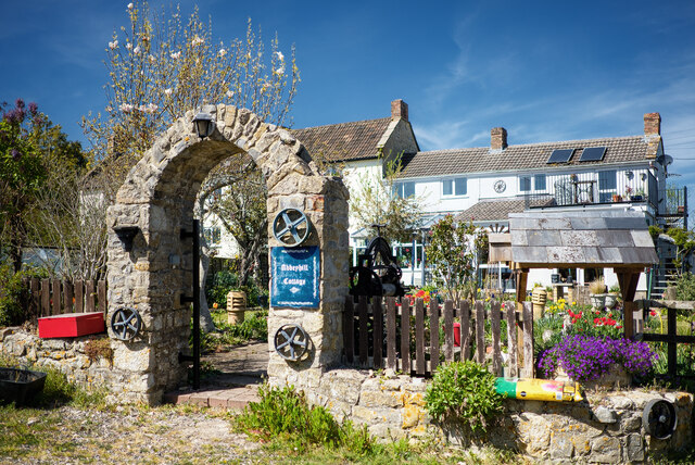
The hill takes its name from the nearby Buckland Abbey, a former Cistercian abbey that was established in the 13th century. It is believed that the abbey owned the hill and used it for agricultural purposes during its existence. Today, the site of the abbey is marked by a beautiful Grade I listed building, which includes a private house and a chapel.

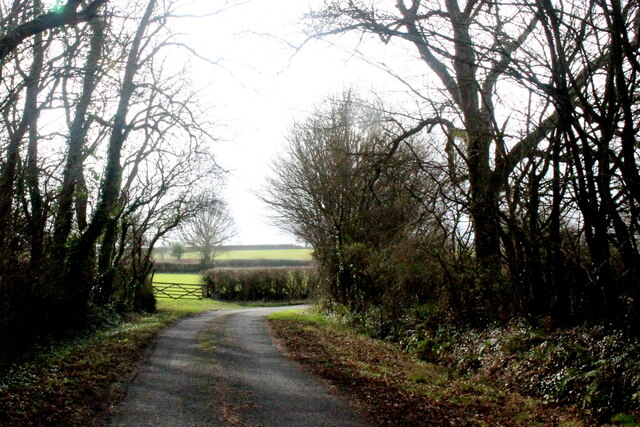
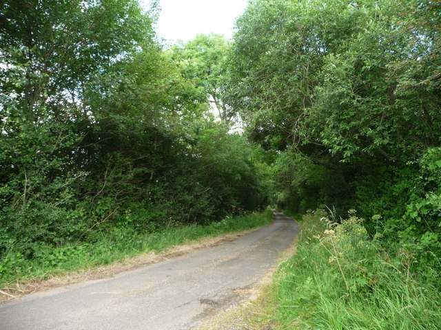
Abbey Hill is characterized by its rolling green slopes, covered with lush vegetation and scattered with ancient trees. It is a popular spot for outdoor enthusiasts, offering a variety of walking trails and paths to explore. The hill provides an ideal setting for a leisurely stroll, allowing visitors to immerse themselves in the tranquility of the countryside.

In addition to its natural beauty, Abbey Hill also holds historical significance. The area has been inhabited for centuries, with evidence of Iron Age and Roman settlements discovered nearby. The hill is a testament to the region's rich history and serves as a reminder of the past civilizations that once thrived in the area.

Overall, Abbey Hill in Somerset is a picturesque hill that combines natural beauty with historical significance. Its panoramic views, idyllic surroundings, and cultural heritage make it a must-visit destination for nature lovers and history enthusiasts alike.

If you have any feedback on the listing, please let us know in the comments section below.
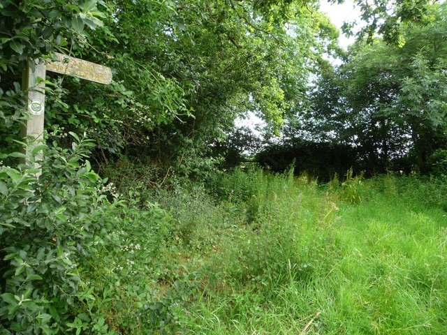
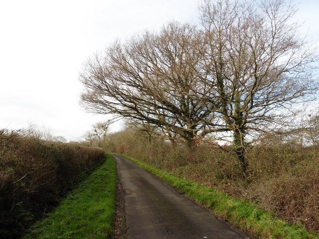
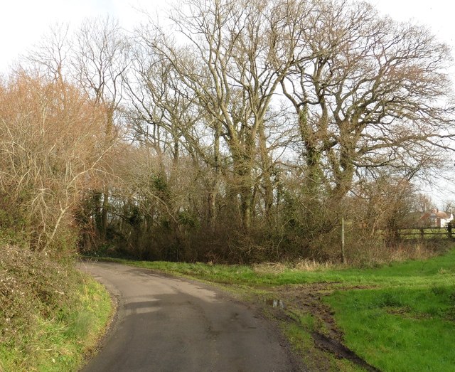
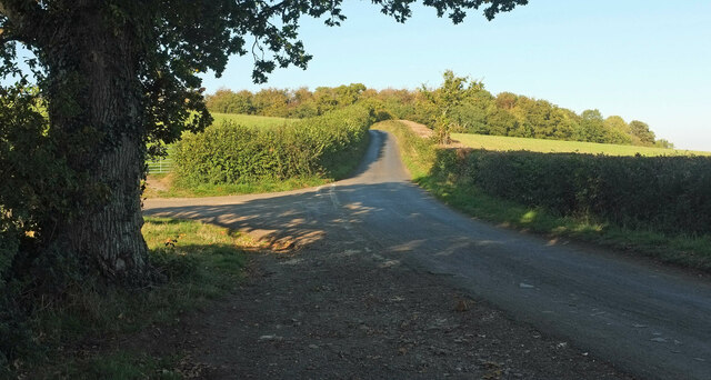
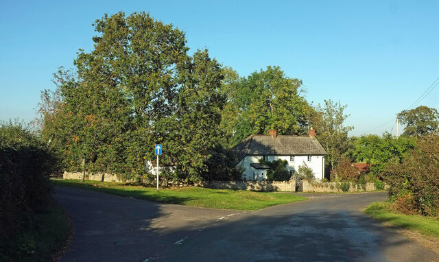
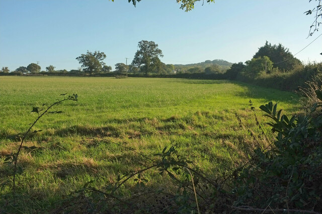
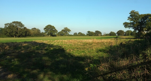
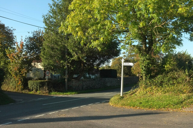
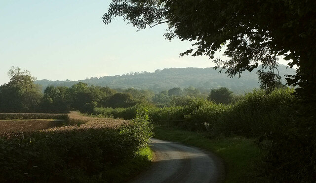
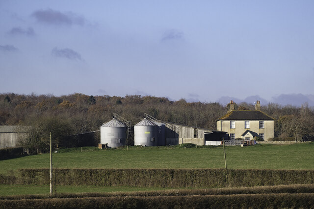
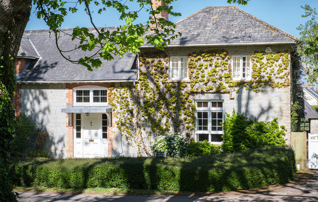
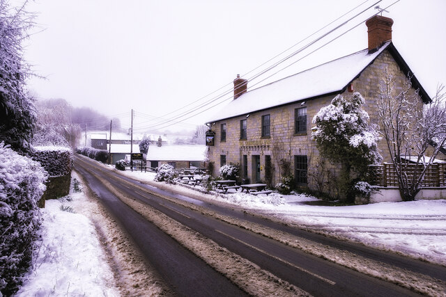
Abbey Hill Images

Images are sourced within 2km of 50.956101/-3.0235535 or Grid Reference ST2817. Thanks to Geograph Open Source API. All images are credited.

In between the rain Taken a yard or two from the point at which <a href="https://www.geograph.org.uk/photo/474151">ST3017 : Folly Farm</a> was taken, and in the same brief burst of sunshine. Footpath CH1/16 arrives at the bend in Folly Drove.
In between the rain
Taken a yard or two from the point at which ST3017 : Folly Farm was taken, and in the same brief burst of sunshine. Footpath CH1/16 arrives at the bend in Folly Drove.
Country Lane near Folly Farm This bend in the lane next to a small copse is where Folly Drove becomes Barrington Hill Lane
Country Lane near Folly Farm
This bend in the lane next to a small copse is where Folly Drove becomes Barrington Hill Lane
Barrington Hill Road passing a small wood Turning north, to the west of Folly Farm.
Barrington Hill Road passing a small wood
Turning north, to the west of Folly Farm.
Farmland south-west of Folly Farm No arable crops on the lower slopes of Barrington Hill.
Farmland south-west of Folly Farm
No arable crops on the lower slopes of Barrington Hill.
Signpost, public footpath to Caige Bush Farm South down the overgrown wooded track, then east along some field boundaries.
Signpost, public footpath to Caige Bush Farm
South down the overgrown wooded track, then east along some field boundaries.
Barrington Hill Road
Sharp bend on Barrington Hill Road
Junction on Cold Road Cold Road (foreground and ahead) is followed by the parish boundary between Staple Fitzpaine (left) and Bickenhall. As it passes the junction, it crosses into <a href="https://www.geograph.org.uk/gridref/ST2719">ST2719</a>. The wood is Grughay Close.
Junction on Cold Road
Cold Road (foreground and ahead) is followed by the parish boundary between Staple Fitzpaine (left) and Bickenhall. As it passes the junction, it crosses into ST2719. The wood is Grughay Close.
Former post office, Curland The scene is shown leafless in <a href="https://www.geograph.org.uk/photo/4336081">ST2717 : Village Green, Curland</a>. As the sign on the left hints, the triangular green is one-way on its north and west sides. Maps from 1903 to 1993 show the building as a post office, the older ones naming it as Stoneleigh.
Former post office, Curland
The scene is shown leafless in ST2717 : Village Green, Curland. As the sign on the left hints, the triangular green is one-way on its north and west sides. Maps from 1903 to 1993 show the building as a post office, the older ones naming it as Stoneleigh.
Field by Bulford crossroads On the southeast side of the junction shown at <a title="https://www.geograph.org.uk/search.php?i=143407630" href="https://www.geograph.org.uk/search.php?i=143407630">Link</a> . In the distance is the hilltop at Castle Neroche.
Field by Bulford crossroads
On the southeast side of the junction shown at Link . In the distance is the hilltop at Castle Neroche.
Field near Bulford From the crossroads shown in <a href="https://www.geograph.org.uk/photo/2354095">ST2617 : Turning for Curland and Bickenhall</a>.
Field near Bulford
From the crossroads shown in ST2617 : Turning for Curland and Bickenhall.
Cold Road Looking in the opposite direction from <a href="https://www.geograph.org.uk/photo/6993743">ST2718 : Junction on Cold Road</a>, so that Staple Fitzpaine is on the right of the parish boundary as it follows the lane, and Bickenhall is on the left.
Cold Road
Looking in the opposite direction from ST2718 : Junction on Cold Road, so that Staple Fitzpaine is on the right of the parish boundary as it follows the lane, and Bickenhall is on the left.
Park Farm at Bickenhall Park Farm at Bickenhall in Taunton Deane, Somerset.
TA3 6TZ
Park Farm at Bickenhall
Park Farm at Bickenhall in Taunton Deane, Somerset. TA3 6TZ
The Old School in Staple Fitzpaine The Old School is opposite St Peter's Church. It is a private residence.
The Old School in Staple Fitzpaine
The Old School is opposite St Peter's Church. It is a private residence.
The Greyhound Inn Snow on the Greyhound Inn at Staple Fitzpaine in Taunton Deane, Somerset.
The Greyhound Inn
Snow on the Greyhound Inn at Staple Fitzpaine in Taunton Deane, Somerset.
Whibbery Cottage Whibbery Cottage, on the Staple Fitzpaine Road, near Bickenhall in Taunton Deane, Somerset. TA3 6TU.
Whibbery Cottage
Whibbery Cottage, on the Staple Fitzpaine Road, near Bickenhall in Taunton Deane, Somerset. TA3 6TU.
Abbeyhill Cottage Abbeyhill Cottage on Abbey Hill Drove near Bickenhall, Taunton Deane in Somerset.
Abbeyhill Cottage
Abbeyhill Cottage on Abbey Hill Drove near Bickenhall, Taunton Deane in Somerset.
Show me another place!

Abbey Hill is located at Grid Ref: ST2817 (Lat: 50.956101, Lng: -3.0235535)

Administrative County: Somerset

District: Somerset West and Taunton

Police Authority: Avon and Somerset

What 3 Words

///scrambles.chucks.powder. Near Creech St Michael, Somerset

Related Wikis

Bickenhall

Bickenhall is a hamlet and parish in Somerset, England, situated 5 miles (8.0 km) south east of Taunton. The parish, which includes the hamlet of Batten...

Curland

Curland is a village and civil parish in Somerset, England, situated 6 miles (9.7 km) south of Taunton. The village has a population of 225. The parish...

All Saints Church, Curland

All Saints Church is a former Church of England parish church in Curland, Somerset, England. Designed by Benjamin Ferrey, it was built in 1855–56 to replace...

William Portman Almshouses

The William Portman Almshouses in Staple Fitzpaine, Somerset, England was built in 1643. It is a Grade II* listed building. == History == The almshouses...

Barrington Hill Meadows

Barrington Hill Meadows (grid reference ST300170) is a 16.1 hectare (39.5 acre) biological Site of Special Scientific Interest in Somerset, England, notified...

Staple Fitzpaine

Staple Fitzpaine is a village and civil parish in Somerset, England, situated 5 miles (8.0 km) south of Taunton. The village has a population of 189 and...

Castle Neroche

Castle Neroche is a Norman motte-and-bailey castle on the site of an earlier hill fort in the parish of Curland, near Staple Fitzpaine, Somerset, England...

West Hatch

West Hatch is a hamlet and civil parish in Somerset, England, situated 5 miles (8.0 km) south east of Taunton. It has a population of 306. == History... ==

Nearby Amenities

Located within 500m of 50.956101,-3.0235535
Post Box
Collection Times: Mo-Fr 10:00; Sa 09:30
Drive Through: no
Mapillary: 764398670919818
Operator: Royal Mail
Operator Wikidata: Q638098
Post Box Type: lamp
Ref: TA3 285
Royal Cypher: EIIR
Royal Cypher Wikidata: Q33102113
Source Position: Mapillary 2020-02-06
Survey Date: 2020-02-06
Lat/Long: 50.9552151/-3.0305428
Advertising: board
Lit: no
Support: billboard
Lat/Long: 50.9552319/-3.030516
The data included in this document is from www.openstreetmap.org. The data is made available under ODbL.

Have you been to Abbey Hill?

Leave your review of Abbey Hill below (or comments, questions and feedback).