Cwm-Whitton Hill

Hill, Mountain in Radnorshire

Wales

Cwm-Whitton Hill

Rhos-y-meirch One of several narrow lanes in the hills south of Knighton. Most of the farmland is grassland, no hay or silage had yet been cut due to high rainfall.
Rhos-y-meirch Credit: Richard Webb

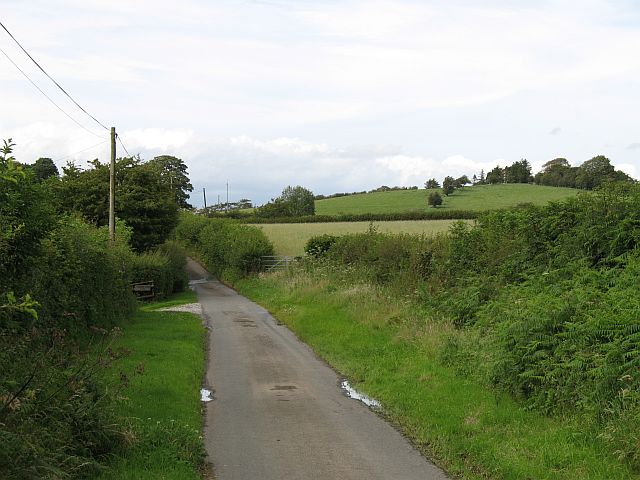
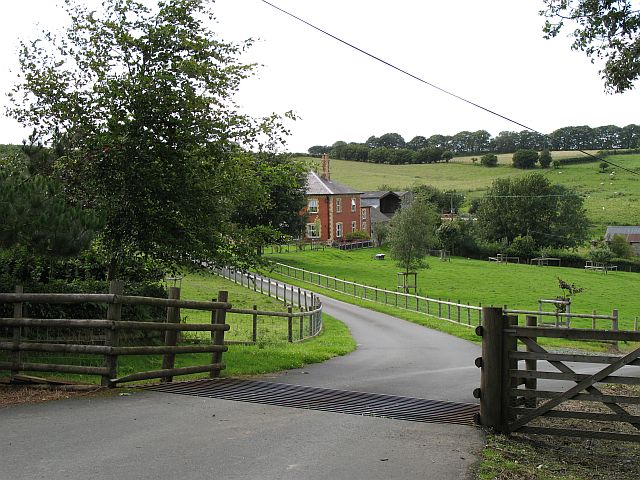
Cwm-Whitton Hill is a prominent geographical feature located in Radnorshire, a historic county in Wales. It is classified as a hill or mountain due to its elevation and distinctive topography. Situated in the heart of the Cambrian Mountains, Cwm-Whitton Hill stands at an impressive height of approximately 600 meters (1968 feet) above sea level.

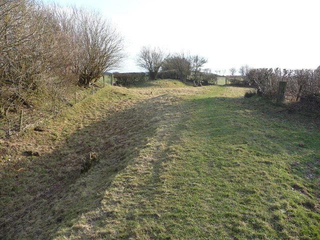
The hill is characterized by its steep slopes and rugged terrain, which present a challenging landscape for hikers and outdoor enthusiasts. Its summit offers breathtaking panoramic views of the surrounding countryside, with expansive vistas of rolling hills, deep valleys, and distant peaks. The area is known for its wild and untouched beauty, attracting visitors who seek a remote and tranquil escape from the hustle and bustle of urban life.

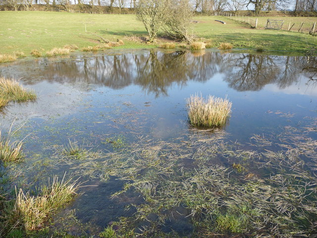
The hill is also notable for its rich biodiversity. The slopes are covered in a variety of vegetation, including heather, grasses, and scattered shrubs. This diverse flora supports a range of wildlife, including various species of birds, mammals, and insects. Rare and protected species can be found in the area, making it an important conservation site.

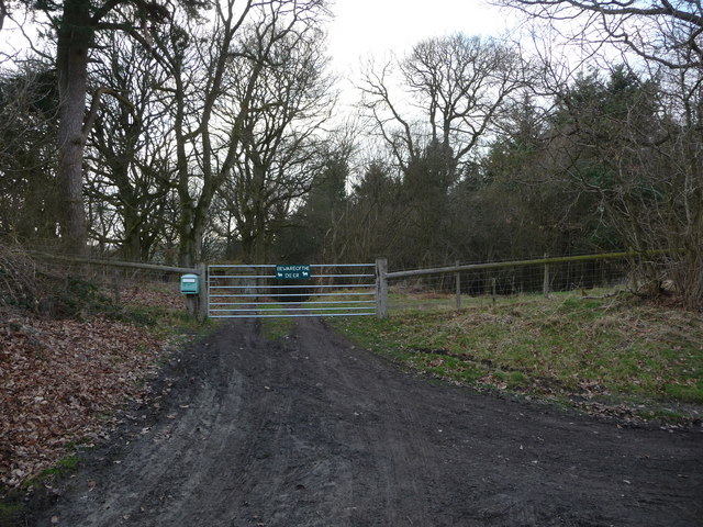
Cwm-Whitton Hill is a popular destination for outdoor activities such as hiking, hillwalking, and nature photography. Several walking trails and footpaths traverse its slopes, providing access to its stunning vistas and allowing visitors to immerse themselves in the natural beauty of Radnorshire. The hill is a hidden gem in the region, offering an unforgettable experience for anyone seeking to explore the rugged landscapes of Wales.

If you have any feedback on the listing, please let us know in the comments section below.

Cwm-Whitton Hill Images

Images are sourced within 2km of 52.313386/-3.0545508 or Grid Reference SO2868. Thanks to Geograph Open Source API. All images are credited.

Rhos-y-meirch One of several narrow lanes in the hills south of Knighton. Most of the farmland is grassland, no hay or silage had yet been cut due to high rainfall.
Rhos-y-meirch
One of several narrow lanes in the hills south of Knighton. Most of the farmland is grassland, no hay or silage had yet been cut due to high rainfall.
Jenkin Allis Newly laid out parkland in front of the house.
Jenkin Allis
Newly laid out parkland in front of the house.
Last section of the day Northbound walkers on Offa's Dyke Path have this section of the dyke to follow before the descent into Knighton.  The dyke, following the line of trees, is mostly in the next square east, but the fields are all in this square.
Last section of the day
Northbound walkers on Offa's Dyke Path have this section of the dyke to follow before the descent into Knighton. The dyke, following the line of trees, is mostly in the next square east, but the fields are all in this square.
Offa's Dyke Path south of Knighton The trail heading north towards the hill on Ffridd, before dropping down to Knighton.  The line of trees conceals a very deep section of ancient earthwork.
Offa's Dyke Path south of Knighton
The trail heading north towards the hill on Ffridd, before dropping down to Knighton. The line of trees conceals a very deep section of ancient earthwork.
Offa's Dyke on Ffridd Hawthorn grows on the ancient earthwork, with the National Trail running beside it, in parallel fashion.
Offa's Dyke on Ffridd
Hawthorn grows on the ancient earthwork, with the National Trail running beside it, in parallel fashion.
Enclosure in fields north of Rhos-y-meirch Is this a reservoir?
Enclosure in fields north of Rhos-y-meirch
Is this a reservoir?
Fields flanked by Offa's Dyke Looking south over country traversed by the Offa's Dyke Path
Fields flanked by Offa's Dyke
Looking south over country traversed by the Offa's Dyke Path
Rough ground near Rhos-y-meirch
Straight to Knighton The direct route from Rhos-y-Meirch to Garth and local metropolis of Knighton.
Straight to Knighton
The direct route from Rhos-y-Meirch to Garth and local metropolis of Knighton.
Entrance to The Barns farm
Access to Bowdler Farm
Field at Bowdler Farm
Offa's Dyke on Ffridd Hill near Knighton This is a well demarcated and striking section of the mighty earthwork, here bisected by the modern Offa's Dyke Path which switches sides at this juncture.
Offa's Dyke on Ffridd Hill near Knighton
This is a well demarcated and striking section of the mighty earthwork, here bisected by the modern Offa's Dyke Path which switches sides at this juncture.
Pond in a field beside Offa's Dyke Path This pond has the first frog spawn of the year that I have seen so far, another sure sign of Spring, hurrah! A Heron was hunting here but I disturbed him, I wonder if he got any of the frogs, who usually wait near their spawn?
Pond in a field beside Offa's Dyke Path
This pond has the first frog spawn of the year that I have seen so far, another sure sign of Spring, hurrah! A Heron was hunting here but I disturbed him, I wonder if he got any of the frogs, who usually wait near their spawn?
Site of a gateway in Offa's Dyke? This site has been suggested as one of a small number of 'gateways' incorporated into the dyke by its builders, or implemented shortly after its construction. This theory (first mooted by Fox) has come in for criticism and despite excavation at some of the possible gateway sites no conclusive evidence exists either for or against gateways having been a feature of the original dyke. Where these gaps exist they were likely made by farmers over the centuries to make their operations easier.
Site of a gateway in Offa's Dyke?
This site has been suggested as one of a small number of 'gateways' incorporated into the dyke by its builders, or implemented shortly after its construction. This theory (first mooted by Fox) has come in for criticism and despite excavation at some of the possible gateway sites no conclusive evidence exists either for or against gateways having been a feature of the original dyke. Where these gaps exist they were likely made by farmers over the centuries to make their operations easier.
Part of Offa's Dyke Path south of Knighton A good section of ODP and dyke near Ffridd Hill, looking northwards.
Part of Offa's Dyke Path south of Knighton
A good section of ODP and dyke near Ffridd Hill, looking northwards.
"Beware of the Deer" sign You may well smirk but farmed deer can be dangerous beasts. They see a human and associate that with food or a threat and I have seen them rear up on their hind legs and 'box' a person with their front hooves, which is no laughing matter if you are the recipient of this un-Bambi-like behaviour!
"Beware of the Deer" sign
You may well smirk but farmed deer can be dangerous beasts. They see a human and associate that with food or a threat and I have seen them rear up on their hind legs and 'box' a person with their front hooves, which is no laughing matter if you are the recipient of this un-Bambi-like behaviour!
Lords Land, Whitton
Lords Land, Whitton
Show me another place!

Cwm-Whitton Hill is located at Grid Ref: SO2868 (Lat: 52.313386, Lng: -3.0545508)

Unitary Authority: Powys

Police Authority: Dyfed Powys

What 3 Words

///regular.work.forgotten. Near Whitton, Powys

Related Wikis

Pilleth

Pilleth is a small village south of Knighton in Powys, Wales in the traditional county of Radnorshire. It is the site of the ancient church and holy well...

Whitton, Powys

Whitton (Welsh: Llanddewi-yn-Hwytyn) is a village and a community in Radnorshire, Powys, Wales. It is located on the B4356 road 4 miles (6.4 km) south...

Norton, Powys

Norton is a village in Powys within the historic boundaries of Radnorshire, Wales. In 1086, Norton was recorded as a settlement within the hundred of Leintwardine...

St Andrew's Church, Presteigne

St Andrew's Church is a Church of England parish church in Presteigne, Powys, Wales. It was first constructed in the 9th century by the Anglo-Saxons and...

Battle of Bryn Glas

The Battle of Bryn Glas (also known as the Battle of Pilleth) was a battle between the Welsh and English on 22 June 1402, near the towns of Knighton and...

Knighton Hospital

Knighton Hospital (Welsh: Ysbyty Trefyclo) is a health facility in Ffrydd Road, Knighton, Powys, Wales. It is managed by the Powys Teaching Health Board...

Knighton Community Centre

Knighton Community Centre is a venue situated in the Powys border town of Knighton. Following an extensive refurbishment in 2017, it has become a hub...

Knighton, Powys

Knighton (Welsh: Tref-y-clawdd [trɛvəˈklauð] or Trefyclo) is a market town and community on the River Teme, straddling the border between Powys, Wales...

Nearby Amenities

Located within 500m of 52.313386,-3.0545508
Barrier: stile
Lat/Long: 52.3103823/-3.0507998
Barrier: stile
Lat/Long: 52.3108453/-3.0511247
Barrier: stile
Lat/Long: 52.3134049/-3.0539978
Barrier: stile
Lat/Long: 52.3151864/-3.0543289
Barrier: stile
Lat/Long: 52.3158712/-3.0544078
Barrier: stile
Lat/Long: 52.3176556/-3.0560234
Barrier: stile
Lat/Long: 52.3168513/-3.0552061
Barrier: stile
Lat/Long: 52.313258/-3.0539894
Cwm-Whitton Hill
Natural: peak
Lat/Long: 52.3123643/-3.0559588
Leisure: picnic_table
Source: survey
Lat/Long: 52.310927/-3.0512918
Monument to Sir Richard Green Price
Inscription: This public monument was erected by subscription to perpetuate the memory of Sir Richard Green Price 1st baronet born 1803 - died 1887 whose services to the county of Radnor will long outlive his name.
Man Made: obelisk
Material: stone
Lat/Long: 52.3114986/-3.0502674
The data included in this document is from www.openstreetmap.org. The data is made available under ODbL.

Have you been to Cwm-Whitton Hill?

Leave your review of Cwm-Whitton Hill below (or comments, questions and feedback).