New Town
Settlement in Somerset Somerset West and Taunton
England
New Town
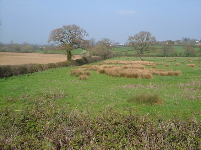
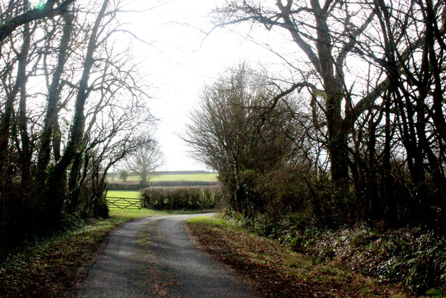
New Town is a small village located in the county of Somerset, England. It is nestled in the heart of the picturesque Somerset Levels, an area renowned for its stunning natural beauty and rich history. With a population of around 500 residents, New Town is a close-knit community that offers a peaceful and idyllic setting for its inhabitants.
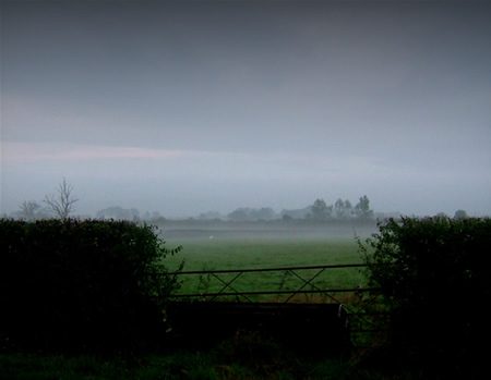
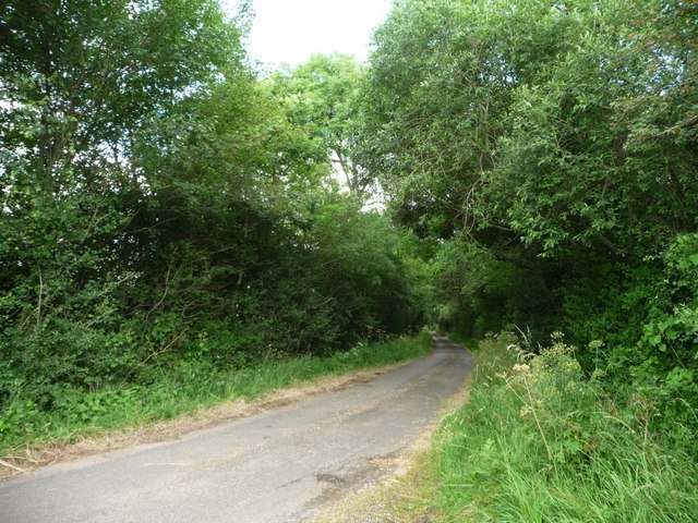
The village is characterized by its charming thatched-roof cottages and traditional English architecture, which adds to its rustic charm. The surrounding countryside is dotted with rolling hills, lush green fields, and meandering rivers, making it a haven for nature lovers and outdoor enthusiasts.
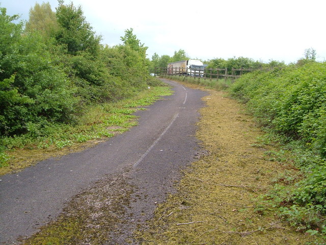
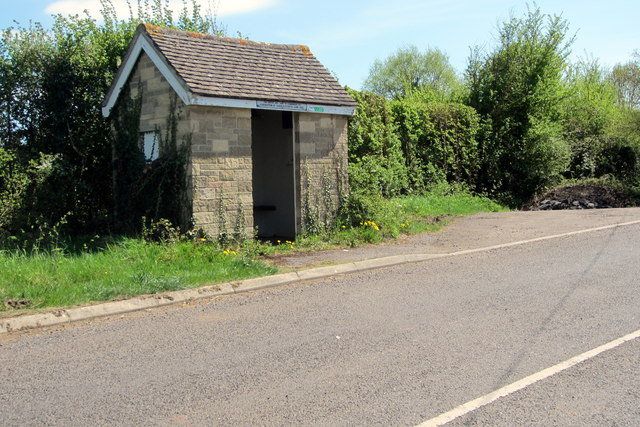
New Town is well-connected to the larger towns and cities in the region, with good transport links via road and rail. The village boasts a range of amenities to cater to the needs of its residents, including a local grocery store, a primary school, a post office, and a community center.
The community spirit in New Town is strong, with regular events and activities organized by various local groups. These include summer fairs, sports tournaments, and cultural celebrations, fostering a sense of belonging and camaraderie among the residents.
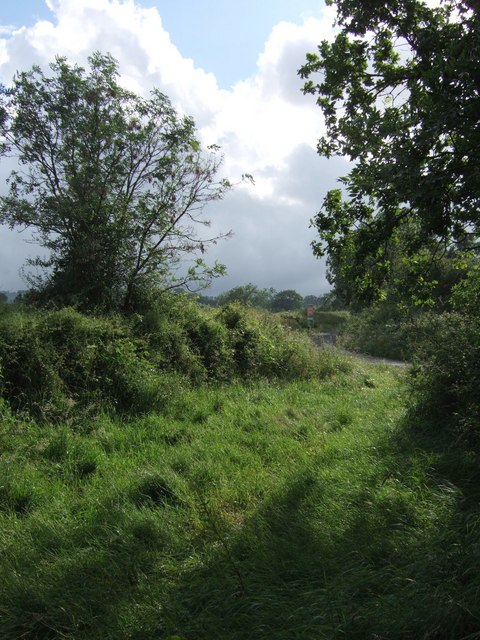
For those seeking recreational opportunities, New Town offers plenty of options. The surrounding area is home to several nature reserves and country parks, providing ample opportunities for hiking, cycling, and birdwatching. Additionally, the village has a well-maintained recreational ground with facilities for football, cricket, and tennis.
In conclusion, New Town, Somerset is a charming rural village that combines natural beauty with a strong sense of community. It offers a tranquil and welcoming environment for residents and visitors alike, making it an ideal place to live or explore.
If you have any feedback on the listing, please let us know in the comments section below.
New Town Images
Images are sourced within 2km of 50.952215/-3.0123209 or Grid Reference ST2817. Thanks to Geograph Open Source API. All images are credited.


New Town is located at Grid Ref: ST2817 (Lat: 50.952215, Lng: -3.0123209)
Administrative County: Somerset
District: Somerset West and Taunton
Police Authority: Avon and Somerset
What 3 Words
///guitars.something.snap. Near Ilminster, Somerset
Nearby Locations
Related Wikis

Barrington Hill Meadows
Barrington Hill Meadows (grid reference ST300170) is a 16.1 hectare (39.5 acre) biological Site of Special Scientific Interest in Somerset, England, notified...

Bickenhall
Bickenhall is a hamlet and parish in Somerset, England, situated 5 miles (8.0 km) south east of Taunton. The parish, which includes the hamlet of Batten...

Curland
Curland is a village and civil parish in Somerset, England, situated 6 miles (9.7 km) south of Taunton. The village has a population of 225. The parish...
All Saints Church, Curland
All Saints Church is a former Church of England parish church in Curland, Somerset, England. Designed by Benjamin Ferrey, it was built in 1855–56 to replace...

Castle Neroche
Castle Neroche is a Norman motte-and-bailey castle on the site of an earlier hill fort in the parish of Curland, near Staple Fitzpaine, Somerset, England...

William Portman Almshouses
The William Portman Almshouses in Staple Fitzpaine, Somerset, England was built in 1643. It is a Grade II* listed building. == History == The almshouses...

Staple Fitzpaine
Staple Fitzpaine is a village and civil parish in Somerset, England, situated 5 miles (8.0 km) south of Taunton. The village has a population of 189 and...

Church of the Blessed Virgin Mary, Ashill
The Anglican Church of the Blessed Virgin Mary in Ashill, Somerset, England was built in the 12th century. It is a Grade II* listed building. == History... ==
Have you been to New Town?
Leave your review of New Town below (or comments, questions and feedback).