Ball's Copse

Wood, Forest in Somerset Somerset West and Taunton

England

Ball's Copse

In between the rain Taken a yard or two from the point at which <a href="https://www.geograph.org.uk/photo/474151">ST3017 : Folly Farm</a> was taken, and in the same brief burst of sunshine. Footpath CH1/16 arrives at the bend in Folly Drove.
In between the rain Credit: Derek Harper

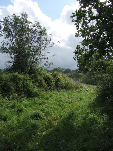
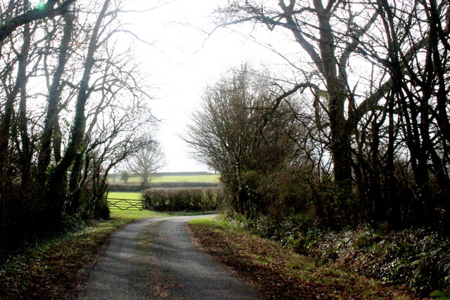
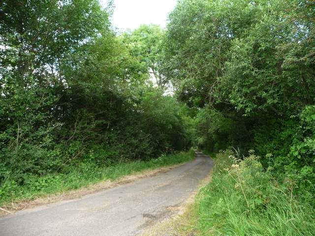
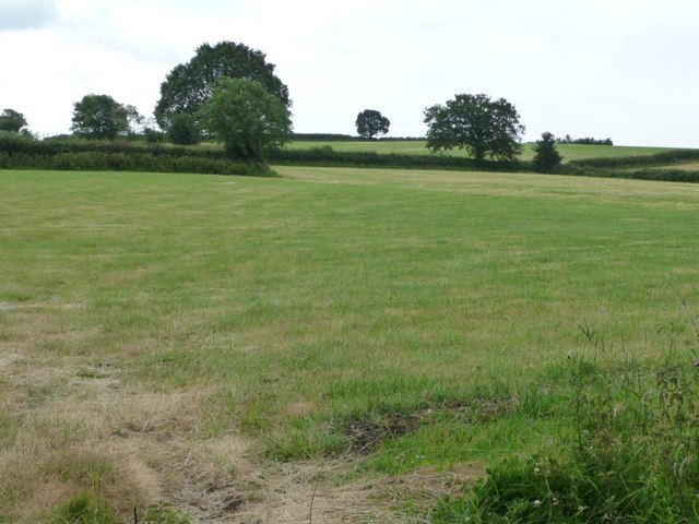
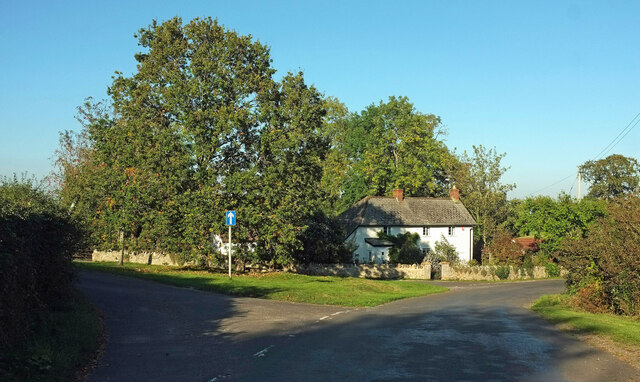
Ball's Copse is a picturesque woodland located in the county of Somerset, England. Situated near the town of Taunton, it covers an area of approximately 20 hectares and is a popular destination for nature lovers and outdoor enthusiasts.

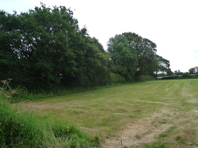
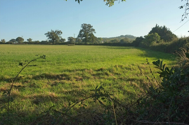
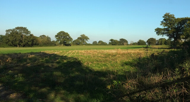
The copse is characterized by its dense and diverse vegetation, comprising predominantly of broadleaf trees such as oak, beech, and ash. These towering trees create a vibrant and tranquil atmosphere, providing a habitat for a variety of wildlife including birds, insects, and small mammals.

The woodland floor is adorned with a rich carpet of wildflowers, ferns, and mosses, creating a colorful and vibrant tapestry. The copse is also home to a small stream that meanders through the trees, adding to its natural beauty.

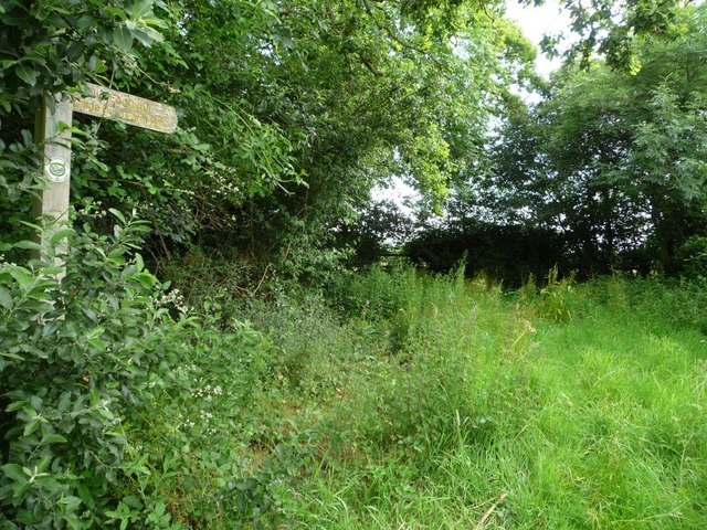
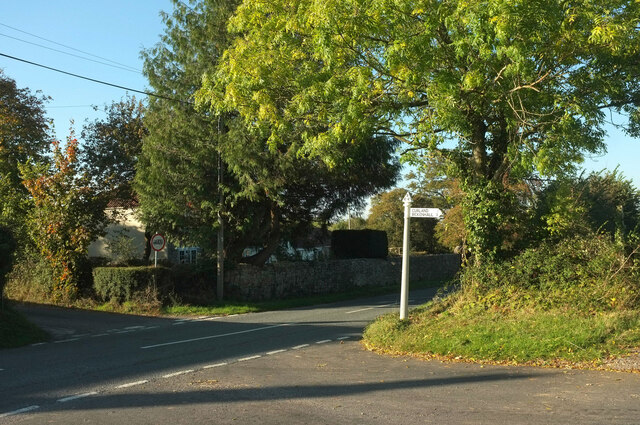
Visitors to Ball's Copse can enjoy a range of recreational activities, such as hiking, walking, and birdwatching. There are well-maintained paths that wind through the woodland, allowing visitors to explore its serene surroundings at their own pace. The copse also provides an ideal setting for photography and nature observation, with numerous opportunities to capture the beauty of the flora and fauna.

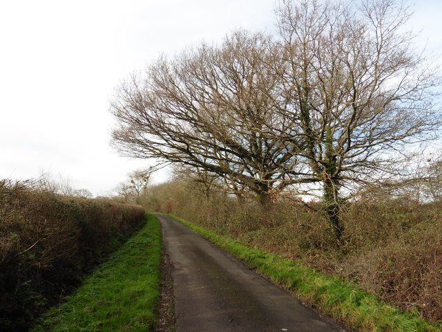
Ball's Copse is easily accessible and is a popular spot for both locals and tourists seeking a peaceful retreat in nature. Its proximity to Taunton makes it a convenient destination for day trips or longer outings. Whether one seeks solitude, exercise, or simply a connection with nature, Ball's Copse offers a serene and enchanting experience for all who visit.

If you have any feedback on the listing, please let us know in the comments section below.
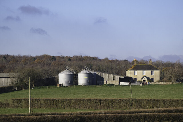
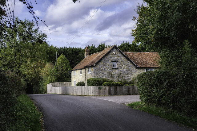
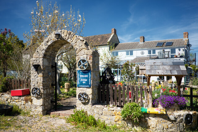
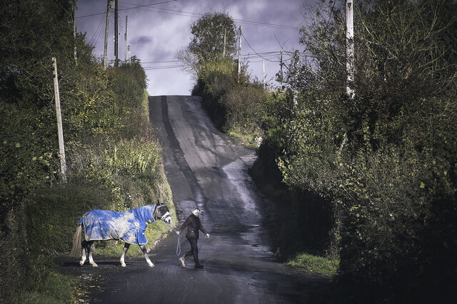
Ball's Copse Images

Images are sourced within 2km of 50.949425/-3.0198479 or Grid Reference ST2817. Thanks to Geograph Open Source API. All images are credited.

In between the rain Taken a yard or two from the point at which <a href="https://www.geograph.org.uk/photo/474151">ST3017 : Folly Farm</a> was taken, and in the same brief burst of sunshine. Footpath CH1/16 arrives at the bend in Folly Drove.
In between the rain
Taken a yard or two from the point at which ST3017 : Folly Farm was taken, and in the same brief burst of sunshine. Footpath CH1/16 arrives at the bend in Folly Drove.
Country Lane near Folly Farm This bend in the lane next to a small copse is where Folly Drove becomes Barrington Hill Lane
Country Lane near Folly Farm
This bend in the lane next to a small copse is where Folly Drove becomes Barrington Hill Lane
Footpath to Batt's Place
Footpath off Broadway Road
Barrington Hill Road passing a small wood Turning north, to the west of Folly Farm.
Barrington Hill Road passing a small wood
Turning north, to the west of Folly Farm.
Farmland south-west of Folly Farm No arable crops on the lower slopes of Barrington Hill.
Farmland south-west of Folly Farm
No arable crops on the lower slopes of Barrington Hill.
Trees along a little-used farm track The modern preference seems to be to drive across the fields. West of Folly Farm.
Trees along a little-used farm track
The modern preference seems to be to drive across the fields. West of Folly Farm.
Signpost, public footpath to Caige Bush Farm South down the overgrown wooded track, then east along some field boundaries.
Signpost, public footpath to Caige Bush Farm
South down the overgrown wooded track, then east along some field boundaries.
Barrington Hill Road
Sharp bend on Barrington Hill Road
Former post office, Curland The scene is shown leafless in <a href="https://www.geograph.org.uk/photo/4336081">ST2717 : Village Green, Curland</a>. As the sign on the left hints, the triangular green is one-way on its north and west sides. Maps from 1903 to 1993 show the building as a post office, the older ones naming it as Stoneleigh.
Former post office, Curland
The scene is shown leafless in ST2717 : Village Green, Curland. As the sign on the left hints, the triangular green is one-way on its north and west sides. Maps from 1903 to 1993 show the building as a post office, the older ones naming it as Stoneleigh.
Field by Bulford crossroads On the southeast side of the junction shown at <a title="https://www.geograph.org.uk/search.php?i=143407630" href="https://www.geograph.org.uk/search.php?i=143407630">Link</a> . In the distance is the hilltop at Castle Neroche.
Field by Bulford crossroads
On the southeast side of the junction shown at Link . In the distance is the hilltop at Castle Neroche.
Field near Bulford From the crossroads shown in <a href="https://www.geograph.org.uk/photo/2354095">ST2617 : Turning for Curland and Bickenhall</a>.
Field near Bulford
From the crossroads shown in ST2617 : Turning for Curland and Bickenhall.
Park Farm at Bickenhall Park Farm at Bickenhall in Taunton Deane, Somerset.
TA3 6TZ
Park Farm at Bickenhall
Park Farm at Bickenhall in Taunton Deane, Somerset. TA3 6TZ
Whibbery Cottage Whibbery Cottage, on the Staple Fitzpaine Road, near Bickenhall in Taunton Deane, Somerset. TA3 6TU.
Whibbery Cottage
Whibbery Cottage, on the Staple Fitzpaine Road, near Bickenhall in Taunton Deane, Somerset. TA3 6TU.
Abbeyhill Cottage Abbeyhill Cottage on Abbey Hill Drove near Bickenhall, Taunton Deane in Somerset.
Abbeyhill Cottage
Abbeyhill Cottage on Abbey Hill Drove near Bickenhall, Taunton Deane in Somerset.
The Bickenhall Road Outside the Mill Equestrian livery yard. On the Bickenhall Road in Taunton Deane, Somerset.
The Bickenhall Road
Outside the Mill Equestrian livery yard. On the Bickenhall Road in Taunton Deane, Somerset.
Show me another place!

Ball's Copse is located at Grid Ref: ST2817 (Lat: 50.949425, Lng: -3.0198479)

Administrative County: Somerset

District: Somerset West and Taunton

Police Authority: Avon and Somerset

What 3 Words

///laying.spout.reckoned. Near Ilminster, Somerset

Related Wikis

Curland

Curland is a village and civil parish in Somerset, England, situated 6 miles (9.7 km) south of Taunton. The village has a population of 225. The parish...

Bickenhall

Bickenhall is a hamlet and parish in Somerset, England, situated 5 miles (8.0 km) south east of Taunton. The parish, which includes the hamlet of Batten...

All Saints Church, Curland

All Saints Church is a former Church of England parish church in Curland, Somerset, England. Designed by Benjamin Ferrey, it was built in 1855–56 to replace...

Barrington Hill Meadows

Barrington Hill Meadows (grid reference ST300170) is a 16.1 hectare (39.5 acre) biological Site of Special Scientific Interest in Somerset, England, notified...

Castle Neroche

Castle Neroche is a Norman motte-and-bailey castle on the site of an earlier hill fort in the parish of Curland, near Staple Fitzpaine, Somerset, England...

William Portman Almshouses

The William Portman Almshouses in Staple Fitzpaine, Somerset, England was built in 1643. It is a Grade II* listed building. == History == The almshouses...

Staple Fitzpaine

Staple Fitzpaine is a village and civil parish in Somerset, England, situated 5 miles (8.0 km) south of Taunton. The village has a population of 189 and...

Ruttersleigh

Ruttersleigh (grid reference ST250165) is a 97 hectares (240 acres) biological Site of Special Scientific Interest between Buckland St Mary and Staple...

Nearby Amenities

Located within 500m of 50.949425,-3.0198479
The data included in this document is from www.openstreetmap.org. The data is made available under ODbL.

Have you been to Ball's Copse?

Leave your review of Ball's Copse below (or comments, questions and feedback).