Toddle Hill
Hill, Mountain in Cumberland Allerdale
England
Toddle Hill
Toddle Hill is a prominent hill located in Cumberland, a county in the northwest region of England. Situated near the village of Great Broughton, the hill is part of the larger Lake District National Park, renowned for its stunning landscapes and outdoor recreational opportunities.
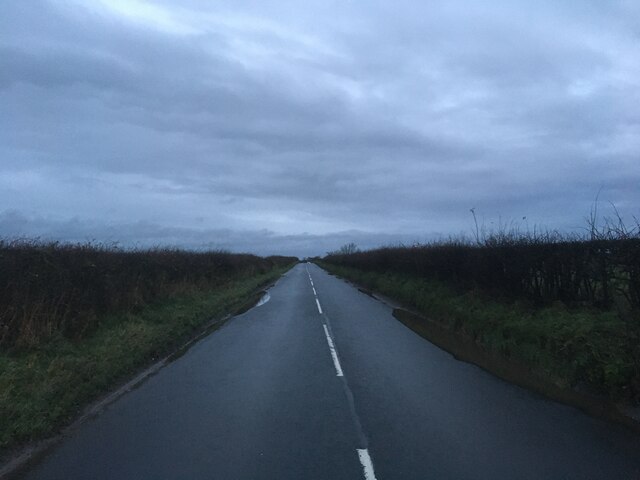
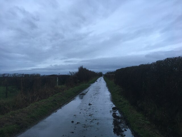
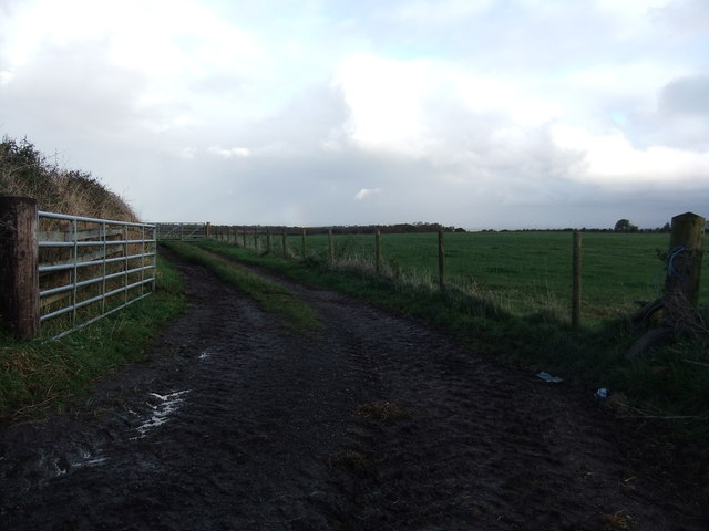
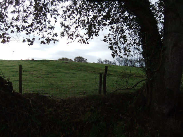
Rising to an elevation of approximately 345 meters (1,132 feet), Toddle Hill offers breathtaking panoramic views of the surrounding countryside. The hill boasts a gentle slope, making it a popular destination for hikers and walkers of all abilities. Its well-maintained footpaths and trails provide easy access to its summit, ensuring a pleasant and enjoyable experience for visitors.
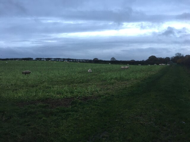
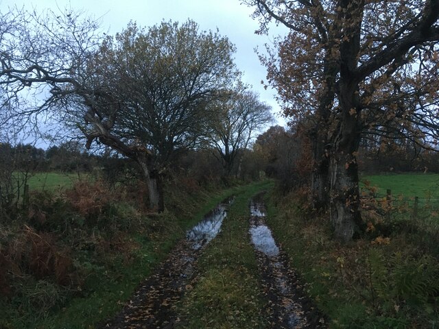
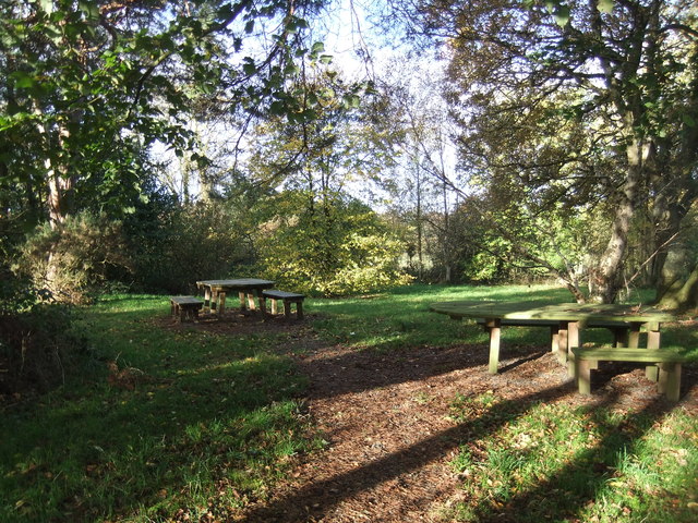
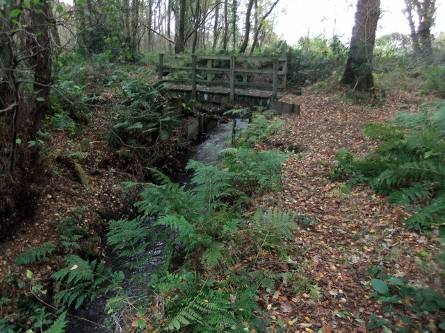
The hill is characterized by its diverse vegetation, with grassy slopes interspersed with patches of woodland. This creates a rich habitat for a variety of wildlife, including birds, rabbits, and deer, making it an ideal spot for nature enthusiasts and birdwatchers.
Toddle Hill also holds historical significance, as it is believed to have been inhabited by early settlers during the Neolithic era. Archaeological remains, such as stone circles and burial mounds, have been discovered in the vicinity, providing insight into the area's ancient past.
Due to its accessibility and natural beauty, Toddle Hill attracts a steady stream of visitors throughout the year. Whether one is seeking a peaceful stroll, a challenging hike, or simply a picturesque spot to admire the scenery, Toddle Hill offers a memorable experience in the heart of Cumberland's stunning countryside.
If you have any feedback on the listing, please let us know in the comments section below.
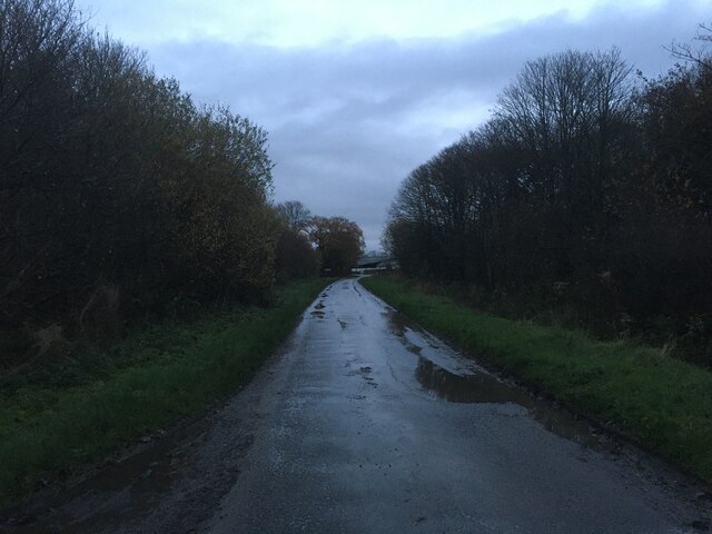
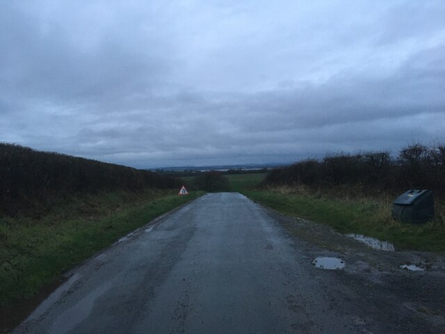
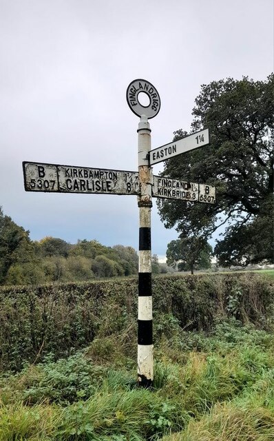
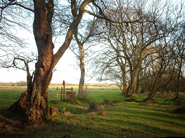
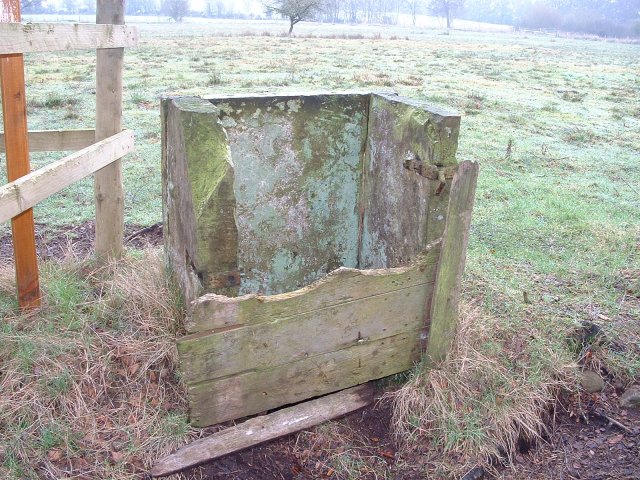
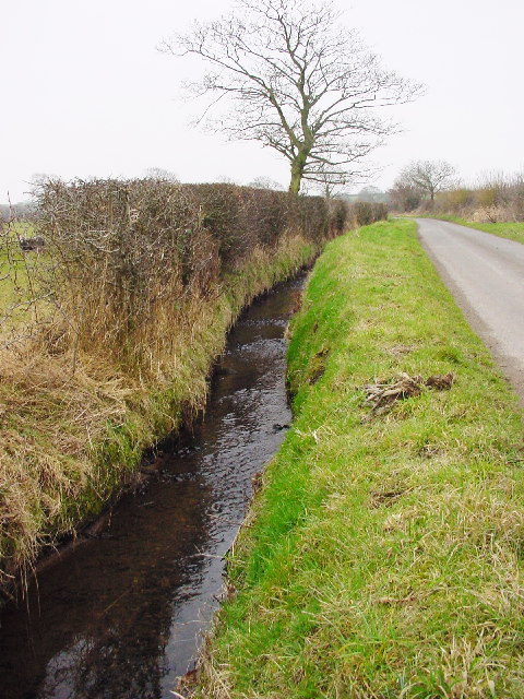
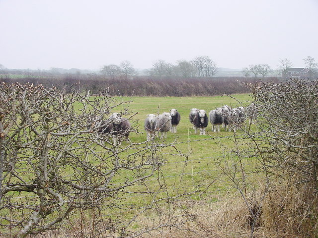
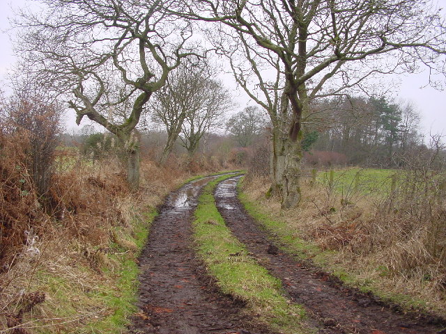
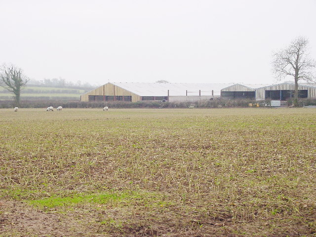
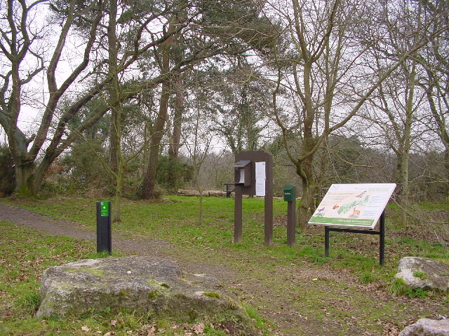
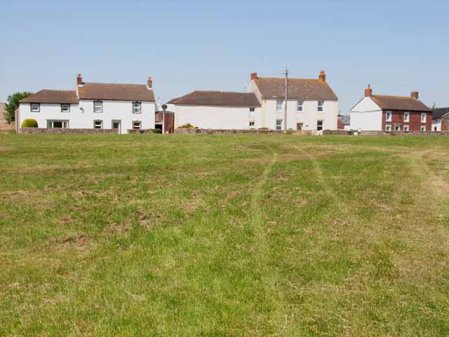
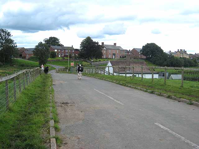
Toddle Hill Images
Images are sourced within 2km of 54.902019/-3.122202 or Grid Reference NY2856. Thanks to Geograph Open Source API. All images are credited.
Toddle Hill is located at Grid Ref: NY2856 (Lat: 54.902019, Lng: -3.122202)
Administrative County: Cumbria
District: Allerdale
Police Authority: Cumbria
What 3 Words
///imparting.pads.thundered. Near Wigton, Cumbria
Nearby Locations
Related Wikis

Little Bampton
Little Bampton is a village in Cumbria situated 6 miles outside the market town of Wigton and 8 miles west of Carlisle, England. The village comprises...
Oughterby
Oughterby is a hamlet in the English county of Cumbria. It is near the city of Carlisle and the village of Kirkbampton. For transport there is the B5307...

Studholme, Cumbria
Studholme is a hamlet in the English county of Cumbria. Studholme is located about a mile north-west of the village of Little Bampton. == External links... ==
Boustead Hill
Boustead Hill is a hamlet in Cumbria, England. It has two separate equestrian centres. In 1831 the township had a population of 63.It is located close...

St Peter's Church, Kirkbampton
St. Peter's Church is in the village of Kirkbampton, Cumbria, England. It is an active Anglican parish church in the deanery of Carlisle, the archdeaconry...

Fingland
Fingland is a hamlet in the Allerdale district, in the county of Cumbria, England. Fingland is located on the B5307 road in between the villages of Kirkbride...

Kirkbampton
Kirkbampton is a village and civil parish on the B5307 road in the English county of Cumbria. The parish population taken at the 2011 census was 482. It...

Drumburgh
Drumburgh ( DRUM-bruff) is a small settlement in Cumbria, England. It is 13 kilometres (8 mi) northwest of the city of Carlisle and is on the course of...
Nearby Amenities
Located within 500m of 54.902019,-3.122202Have you been to Toddle Hill?
Leave your review of Toddle Hill below (or comments, questions and feedback).