Longrigg
Settlement in Cumberland Allerdale
England
Longrigg
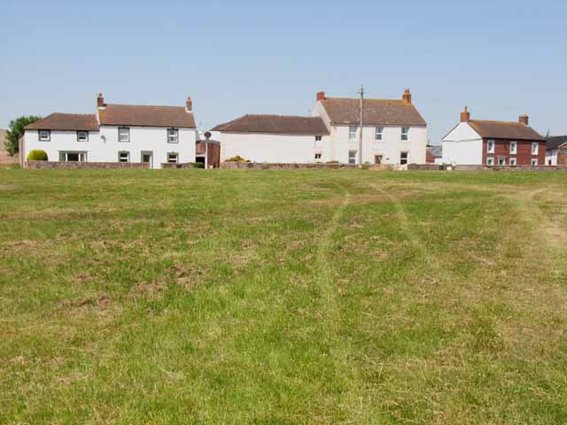
Longrigg is a small village located in the county of Cumberland, England. Situated in the picturesque Lake District National Park, Longrigg is surrounded by rolling hills, lush greenery, and breathtaking landscapes. The village is nestled between the towns of Wigton and Aspatria, offering a tranquil and idyllic setting for its residents and visitors.
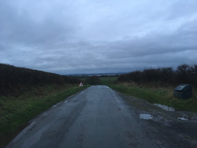
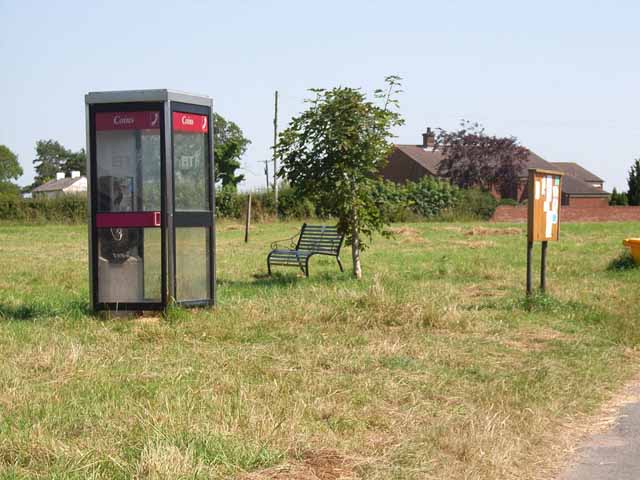
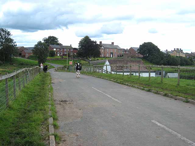
Longrigg is a close-knit community with a small population, known for its friendly and welcoming atmosphere. The village boasts a range of amenities, including a local pub, a post office, and a convenience store, providing residents with their everyday needs. Additionally, Longrigg benefits from excellent transport links, with convenient access to major roads and nearby railway stations.
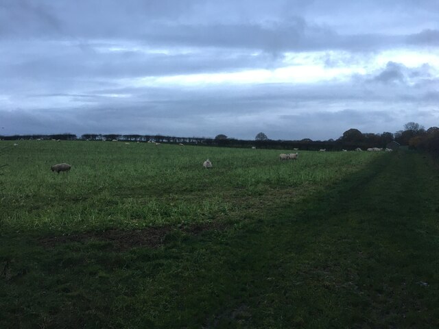
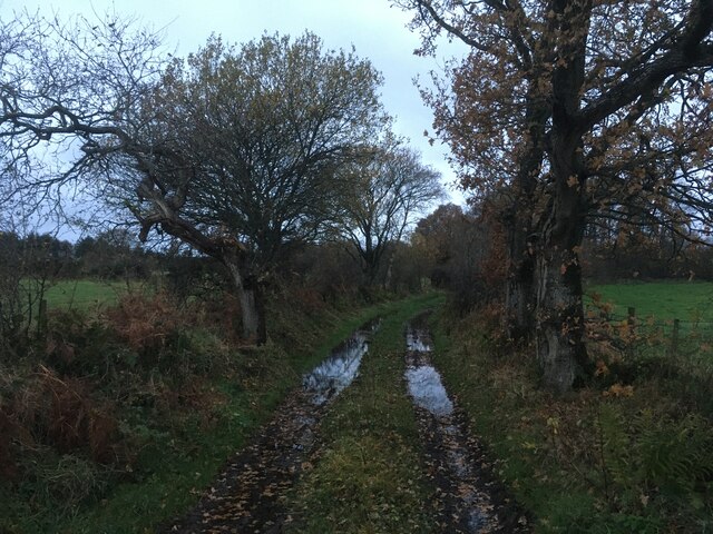
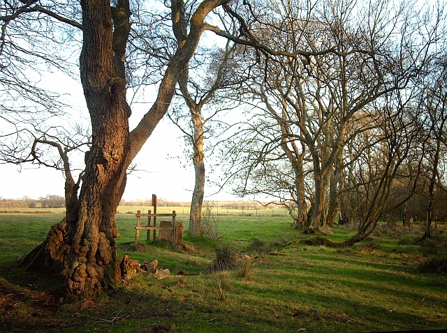
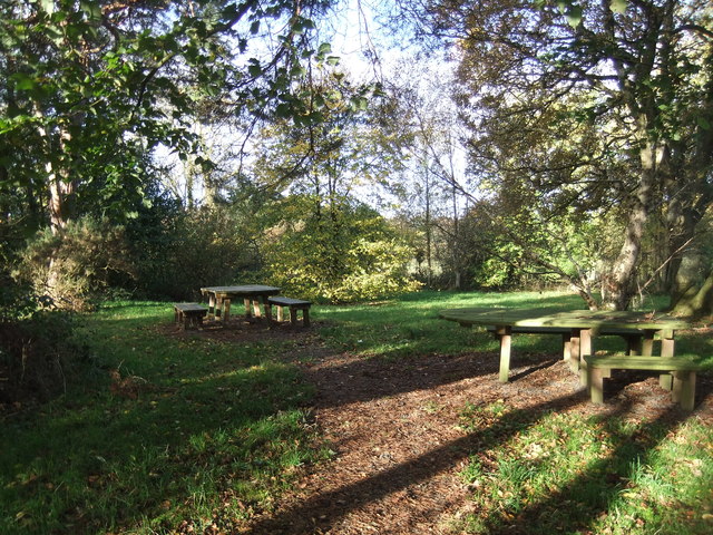
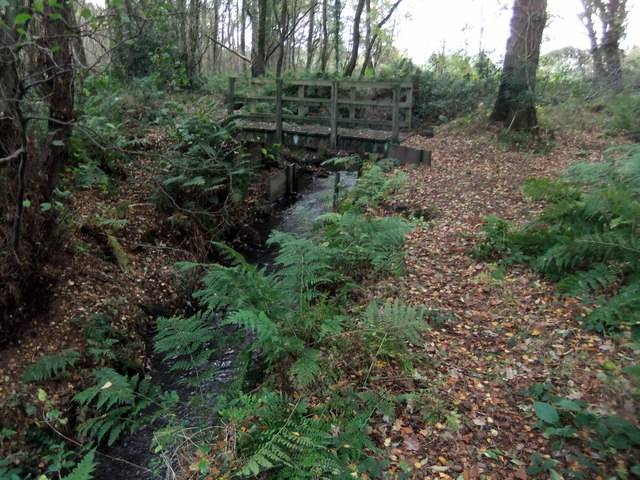
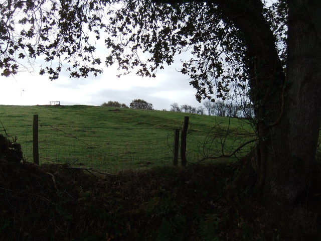
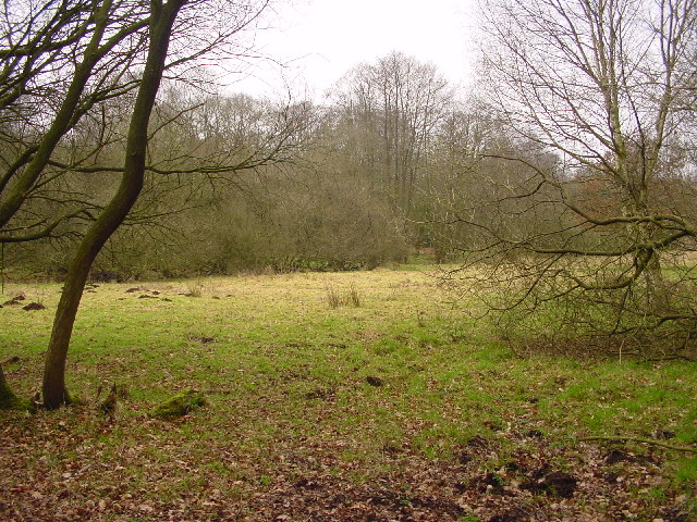
Nature lovers are spoiled for choice in Longrigg, as the village is surrounded by stunning natural beauty. The nearby Lake District National Park offers a plethora of outdoor activities, including hiking, cycling, and boating, making it a haven for adventure enthusiasts. The region is also renowned for its picturesque lakes, such as Bassenthwaite Lake and Derwentwater, which attract tourists from all over the world.
Longrigg is also steeped in history, with several notable landmarks and historical sites in the vicinity. Keswick, a charming market town located a short distance away, is home to the beautiful Castlerigg Stone Circle, a prehistoric monument that dates back thousands of years. The area is also dotted with quaint villages and ancient churches, providing a glimpse into the region's rich cultural heritage.
Overall, Longrigg offers a peaceful and scenic retreat, combining natural beauty, a strong sense of community, and a rich historical tapestry. It is a destination that appeals to both residents seeking a tranquil lifestyle and tourists looking for a quintessential English countryside experience.
If you have any feedback on the listing, please let us know in the comments section below.
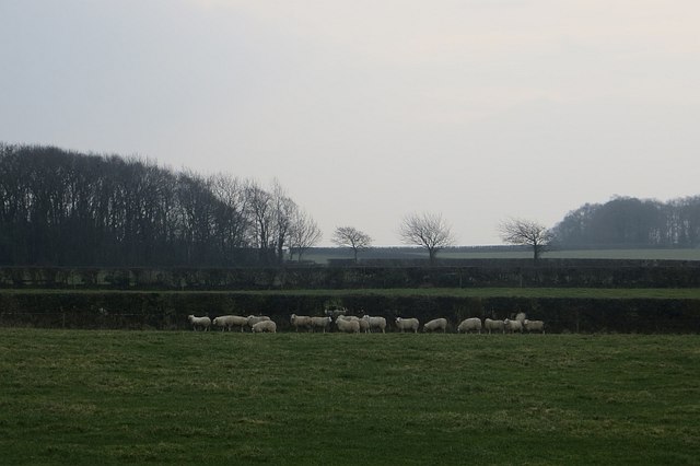
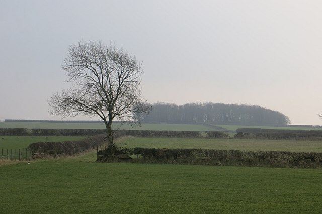
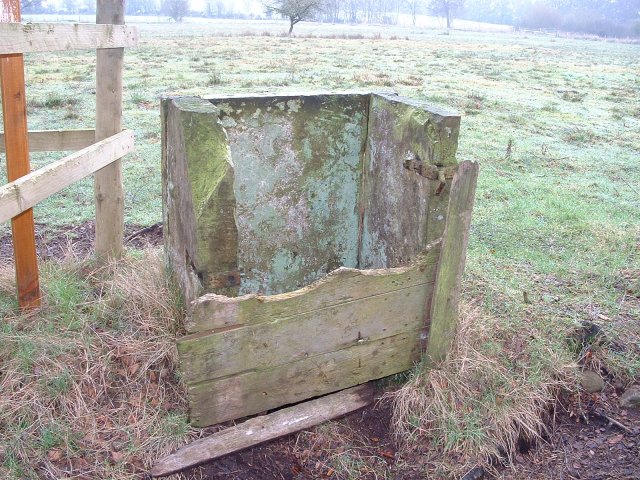
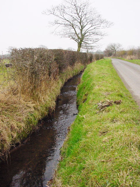
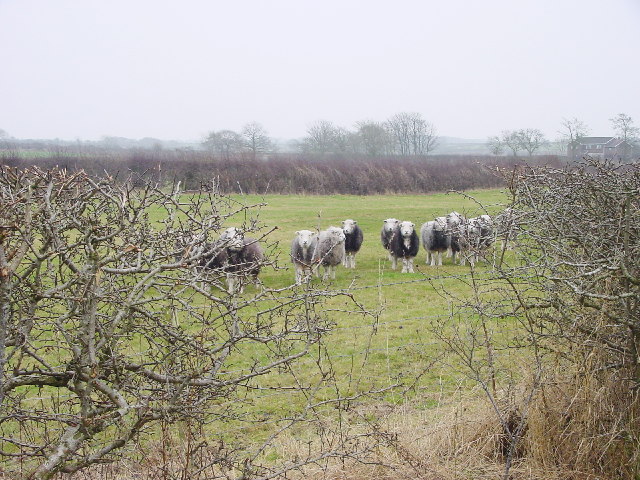
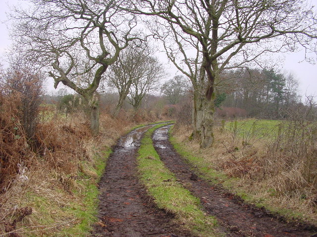
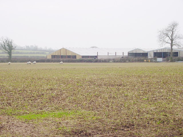
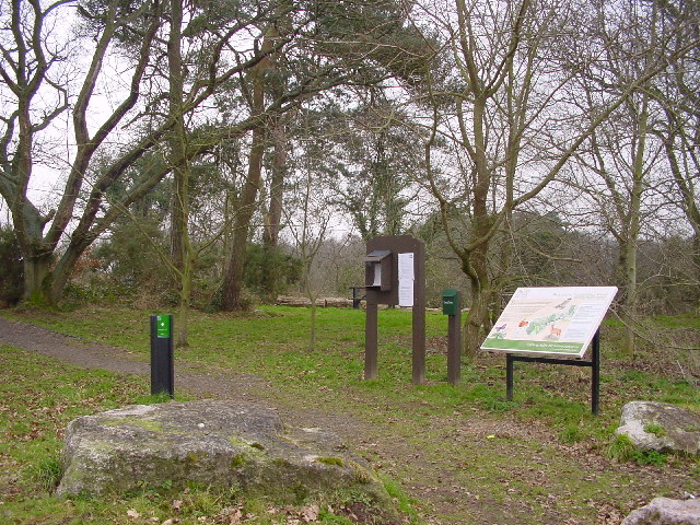
Longrigg Images
Images are sourced within 2km of 54.897208/-3.1147861 or Grid Reference NY2856. Thanks to Geograph Open Source API. All images are credited.
Longrigg is located at Grid Ref: NY2856 (Lat: 54.897208, Lng: -3.1147861)
Administrative County: Cumbria
District: Allerdale
Police Authority: Cumbria
What 3 Words
///agreeable.forklift.speaker. Near Wigton, Cumbria
Nearby Locations
Related Wikis
Oughterby
Oughterby is a hamlet in the English county of Cumbria. It is near the city of Carlisle and the village of Kirkbampton. For transport there is the B5307...

Little Bampton
Little Bampton is a village in Cumbria situated 6 miles outside the market town of Wigton and 8 miles west of Carlisle, England. The village comprises...

St Peter's Church, Kirkbampton
St. Peter's Church is in the village of Kirkbampton, Cumbria, England. It is an active Anglican parish church in the deanery of Carlisle, the archdeaconry...

Kirkbampton
Kirkbampton is a village and civil parish on the B5307 road in the English county of Cumbria. The parish population taken at the 2011 census was 482. It...

Studholme, Cumbria
Studholme is a hamlet in the English county of Cumbria. Studholme is located about a mile north-west of the village of Little Bampton. == External links... ==
Boustead Hill
Boustead Hill is a hamlet in Cumbria, England. It has two separate equestrian centres. In 1831 the township had a population of 63.It is located close...

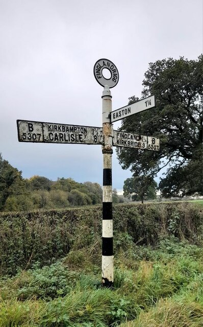
Fingland
Fingland is a hamlet in the Allerdale district, in the county of Cumbria, England. Fingland is located on the B5307 road in between the villages of Kirkbride...

Aikton
Aikton is a small village in the north of the English county of Cumbria. The nearest town is Wigton 3 miles away, and the nearest city is Carlisle at 8...
Related Videos

Win a Llama
WIN** You may remember, last week I took delivery of two fluffy Llamas. But one is still without a name and needs a new home.
Nearby Amenities
Located within 500m of 54.897208,-3.1147861Have you been to Longrigg?
Leave your review of Longrigg below (or comments, questions and feedback).