Chapel Hill

Hill, Mountain in Somerset Sedgemoor

England

Chapel Hill

Ordnance Survey Cut Mark This OS cut mark can be found on the porch of St Giles Church. It marks a point 81.292m above mean sea level.
Ordnance Survey Cut Mark Credit: Adrian Dust

Chapel Hill is a small hill located in the county of Somerset, England. Situated in the southwestern part of the country, it is part of the Mendip Hills, a range of limestone hills known for their scenic beauty and rich history. Chapel Hill is one of the many peaks in this area, standing at an elevation of around 285 meters (935 feet) above sea level.

The hill gets its name from a small chapel that once stood on its slopes, although no traces of it remain today. It is surrounded by picturesque countryside, characterized by rolling green fields, meandering rivers, and charming villages. The summit of Chapel Hill offers breathtaking panoramic views of the surrounding landscape, making it a popular spot for hikers, walkers, and nature enthusiasts.

The area around Chapel Hill is rich in wildlife, with various species of birds, mammals, and plants calling it home. It is a haven for outdoor activities, with numerous walking trails and cycle paths crossing through the region. The nearby town of Wells, famous for its stunning cathedral, is a short distance away and offers additional amenities and attractions for visitors.

Chapel Hill, Somerset, encapsulates the beauty and tranquility of the English countryside. Its idyllic location, coupled with its historical significance, makes it a must-visit destination for those seeking a peaceful retreat or an opportunity to explore the natural wonders of Somerset.

If you have any feedback on the listing, please let us know in the comments section below.

Chapel Hill Images

Images are sourced within 2km of 51.070349/-3.0268146 or Grid Reference ST2830. Thanks to Geograph Open Source API. All images are credited.

Ordnance Survey Cut Mark This OS cut mark can be found on the porch of St Giles Church. It marks a point 81.292m above mean sea level.
Ordnance Survey Cut Mark
This OS cut mark can be found on the porch of St Giles Church. It marks a point 81.292m above mean sea level.
Looking east down Adder Lane
North Newton Community Primary School
Petherton Road, looking north
Track off Tuckerton Lane A path to St Michael's church, thankfully dry today.
Track off Tuckerton Lane
A path to St Michael's church, thankfully dry today.
Footpath from North Newton A short trip across the fields to a road starts here. The warning sign for the school is a recent addition to the street furniture.
Footpath from North Newton
A short trip across the fields to a road starts here. The warning sign for the school is a recent addition to the street furniture.
Tunnel of trees The path from North Newton near Adyes Farm passes by a short stretch of woodland, which happens to be an avenue that has curled overhead.
Tunnel of trees
The path from North Newton near Adyes Farm passes by a short stretch of woodland, which happens to be an avenue that has curled overhead.
Flags out on Tuckerton Lane The Coronation of 2023 is eagerly anticipated out in the sticks.
Flags out on Tuckerton Lane
The Coronation of 2023 is eagerly anticipated out in the sticks.
Agricultural casualties Some old farm machinery has been left fallow.
Agricultural casualties
Some old farm machinery has been left fallow.
Pond near North Newton A man-made feature in the spaces of the fields.
Pond near North Newton
A man-made feature in the spaces of the fields.
Not a popular path The stile is just about visible, the path is under all the rest of the jungle. Users might need a periscope.
Not a popular path
The stile is just about visible, the path is under all the rest of the jungle. Users might need a periscope.
New for the old farm A new construction is taking place in the farmyad.
New for the old farm
A new construction is taking place in the farmyad.
The Harvest Moon, North Newton A relatively modern addition to the village, close to the school and the main road junction.
The Harvest Moon, North Newton
A relatively modern addition to the village, close to the school and the main road junction.
North Newton village hall North Newton's premier events venue has two floorspaces.
North Newton village hall
North Newton's premier events venue has two floorspaces.
The hall porch North Newton village hall has a protected side entrance, with a noticeboard and a defibrillator for extra measure.
The hall porch
North Newton village hall has a protected side entrance, with a noticeboard and a defibrillator for extra measure.
Church Road signpost The junction points visitors to Maunsel House - a very old house with a history pre-dating the Norman Conquest. The signpost appears to be shedding several layers of paint and one arm look suspiciously new.

Incidentally, 'Maunsel' is derived from the French meaning ‘Sleeve of Land’.
Church Road signpost
The junction points visitors to Maunsel House - a very old house with a history pre-dating the Norman Conquest. The signpost appears to be shedding several layers of paint and one arm look suspiciously new. Incidentally, 'Maunsel' is derived from the French meaning ‘Sleeve of Land’.
Old school sign That is, an old school (North Newton community primary) with an old school sign in front of it.
Old school sign
That is, an old school (North Newton community primary) with an old school sign in front of it.
The Old Chapel Now a private residence, the building features a sliding door and a set of circular stone pieces depicting the Zodiac signs.
The Old Chapel
Now a private residence, the building features a sliding door and a set of circular stone pieces depicting the Zodiac signs.
Show me another place!

Chapel Hill is located at Grid Ref: ST2830 (Lat: 51.070349, Lng: -3.0268146)

Administrative County: Somerset

District: Sedgemoor

Police Authority: Avon and Somerset

What 3 Words

///narrowest.plankton.silks. Near North Petherton, Somerset

Nearby Locations

Chapel Hill Shearston

Related Wikis

Thurloxton

Thurloxton is a village and civil parish 5 miles (8 km) north-east of Taunton, and 5 miles south-west of Bridgwater on the south-eastern slopes of the...

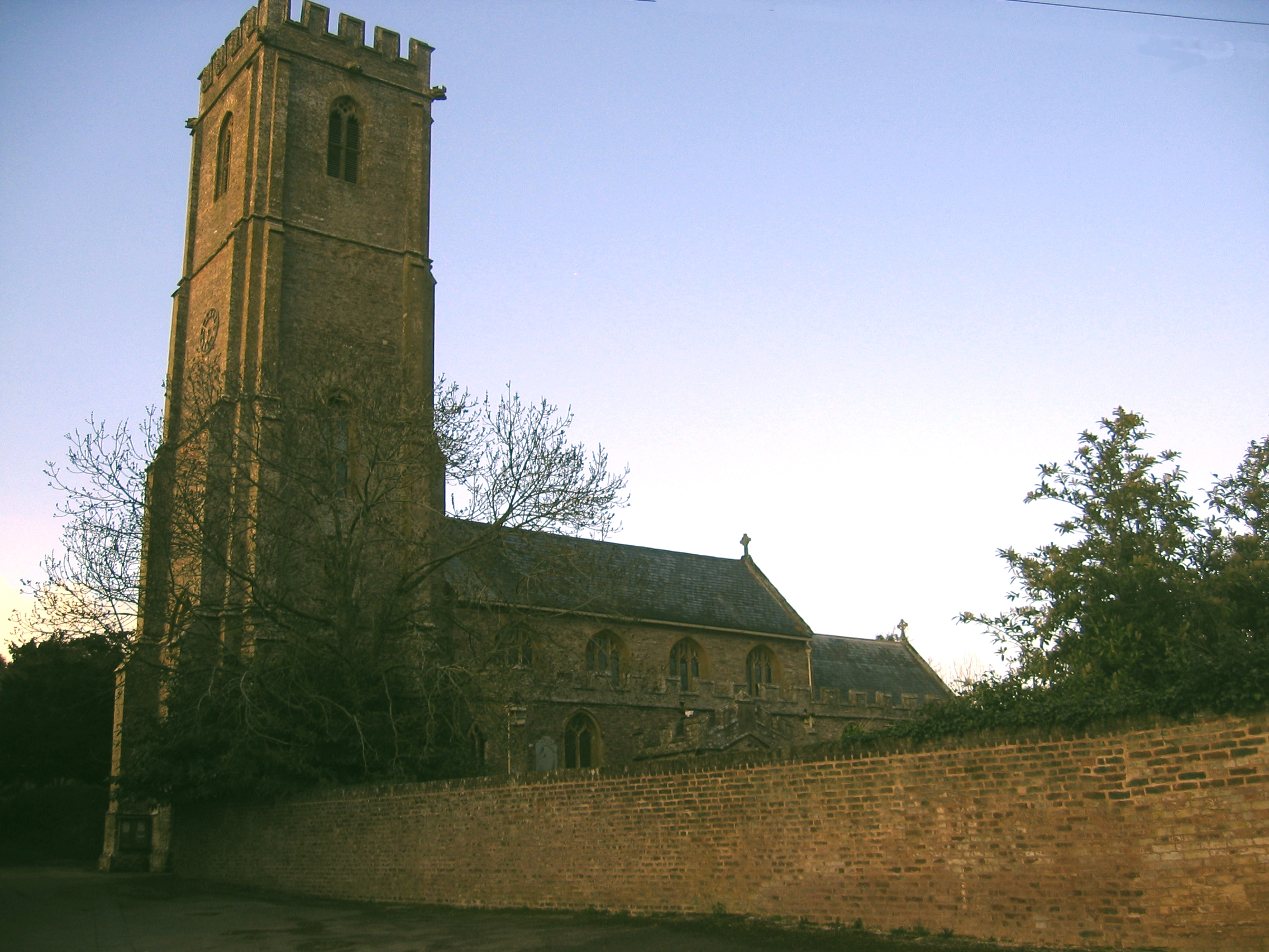
Church of St Giles, Thurloxton

The Norman Anglican Church of St Giles in Thurloxton dates from the 14th century but is predominantly from the 15th century with 19th-century restoration...

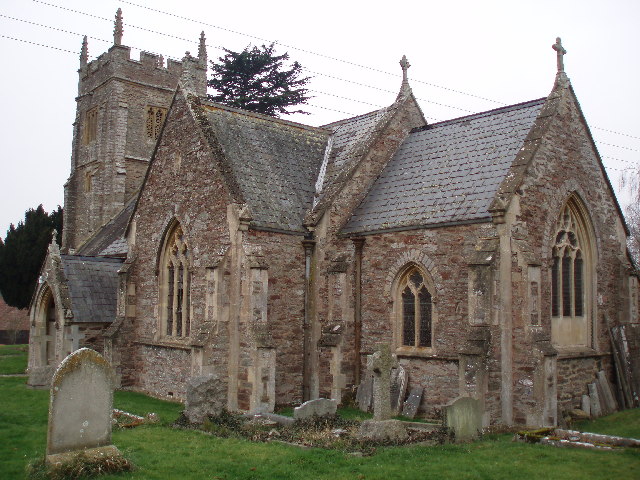
Church of St Peter, North Newton

The Anglican Church of St Peter in North Newton within the English county of Somerset has a tower believed to date from Saxon times. It is a Grade II*...

Buckland Priory

Buckland Priory (also known as Minchin Buckland Preceptory or Buckland Sororum (Latin: "Buckland of the Sisters")) was established around 1167 in Lower...

Maunsel House

Maunsel House in the English county of Somerset was built in the late 14th or early 15th century. The house stands south of the hamlet of North Newton...

North Petherton

North Petherton is a town and civil parish in Somerset, England, situated on the edge of the eastern foothills of the Quantocks, and close to the edge...

West Monkton

West Monkton is a village and civil parish in Somerset, England, situated 2 miles (3.2 km) north east of Taunton. The parish includes the hamlets of Monkton...

Durston

Durston is a village and civil parish in Somerset, England, situated on the A361 road 5 miles (8.0 km) north east of Taunton and 6 miles (9.7 km) south...

Nearby Amenities

Located within 500m of 51.070349,-3.0268146
Shearston
Place: hamlet
Population: 22
Wikidata: Q22970372
Lat/Long: 51.0723267/-3.0277636
Bus: yes
Operator: First South West
Public Transport: stop_position
Ref: 21, 21A
Lat/Long: 51.0704388/-3.0216562
Give Way
Direction: forward
Lat/Long: 51.068102/-3.0227471
Give Way
Direction: backward
Lat/Long: 51.0709369/-3.0216206
Give Way
Lat/Long: 51.0715782/-3.0273565
Bus: yes
Operator: First South West
Public Transport: stop_position
Ref: 21, 21A
Lat/Long: 51.071158/-3.0215098
Bus Stop
Shearston Lane (N-bound)
Bus: yes
Naptan AtcoCode: 3600SOA10411
Naptan Bearing: N
Naptan CommonName: Shearston Lane
Naptan Indicator: N-bound
Naptan NaptanCode: sotamdwd
Naptan Street: Taunton Road
Naptan Verified: no
Network: The Buses of Somerset
Network Wikidata: Q17018973
Operator: First South West
Operator Wikidata: Q5454172
Public Transport: platform
Ref: 21, 21A
Lat/Long: 51.0711605/-3.0216104
Bus Stop
Shearston Lane (S-bound)
Bus: yes
Naptan AtcoCode: 3600SOA10412
Naptan Bearing: S
Naptan CommonName: Shearston Lane
Naptan Indicator: S-bound
Naptan NaptanCode: sotamdwg
Naptan Street: Taunton Road
Naptan Verified: no
Network: The Buses of Somerset
Network Wikidata: Q17018973
Operator: First South West
Operator Wikidata: Q5454172
Public Transport: platform
Ref: 21, 21A
Lat/Long: 51.0704383/-3.0215621
Bus: yes
Operator: First South West
Public Transport: stop_position
Ref: 21, 21A
Lat/Long: 51.0681141/-3.0229984
Bus Stop
Moon Lane (SW-bound)
Bus: yes
Naptan AtcoCode: 3600SOA10410
Naptan Bearing: SW
Naptan CommonName: Moon Lane
Naptan Indicator: SW-bound
Naptan NaptanCode: sotamdtj
Naptan Verified: no
Network: The Buses of Somerset
Network Wikidata: Q17018973
Network Wikipedia: en:The Buses of Somerset
Operator: First South West
Operator Wikidata: Q5454172
Public Transport: platform
Ref: 21, 21A
Lat/Long: 51.067793/-3.0229729
Bus Stop
Moon Lane (NE-bound)
Bus: yes
Naptan AtcoCode: 3600SOA10409
Naptan Bearing: NE
Naptan CommonName: Moon Lane
Naptan Indicator: NE-bound
Naptan NaptanCode: sotamdtg
Naptan Verified: no
Network: The Buses of Somerset
Network Wikidata: Q17018973
Network Wikipedia: en:The Buses of Somerset
Operator: First South West
Operator Wikidata: Q5454172
Public Transport: platform
Ref: 21, 21A
Lat/Long: 51.0681259/-3.0230682
Bus: yes
Operator: First South West
Public Transport: stop_position
Ref: 21, 21A
Lat/Long: 51.067804/-3.0230454
The data included in this document is from www.openstreetmap.org. The data is made available under ODbL.

Have you been to Chapel Hill?

Leave your review of Chapel Hill below (or comments, questions and feedback).