Kirkbampton

Civil Parish in Cumberland Allerdale

England

Kirkbampton

Sheep grazing near Kirkbampton
Sheep grazing near Kirkbampton Credit: Steven Brown

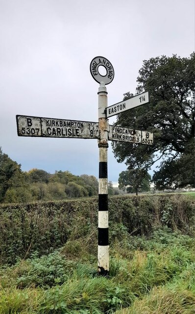
Kirkbampton is a civil parish located in the county of Cumberland, in the northwest region of England. Situated approximately 9 miles west of the city of Carlisle, the parish covers an area of about 7 square miles.

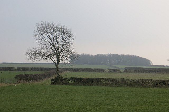
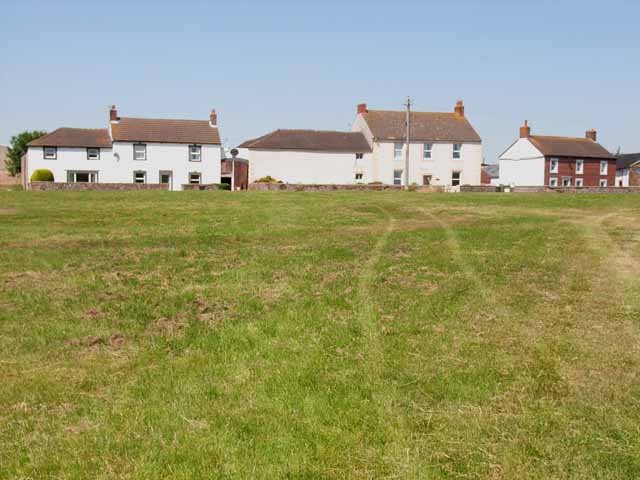
The village of Kirkbampton itself is a small and picturesque settlement, with a population of around 300 people. It is nestled in a rural setting, surrounded by rolling hills and farmland. The village is known for its quaint and well-preserved traditional Cumbrian architecture, featuring stone houses and a charming village green.

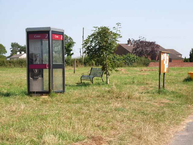
The community of Kirkbampton is close-knit and offers a range of amenities for its residents. These include a primary school, a village hall, and a church dating back to the 12th century, which is dedicated to St. Peter. The church is a notable landmark in the village and attracts visitors for its historical and architectural significance.

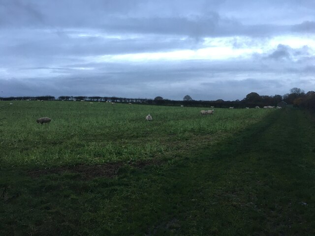
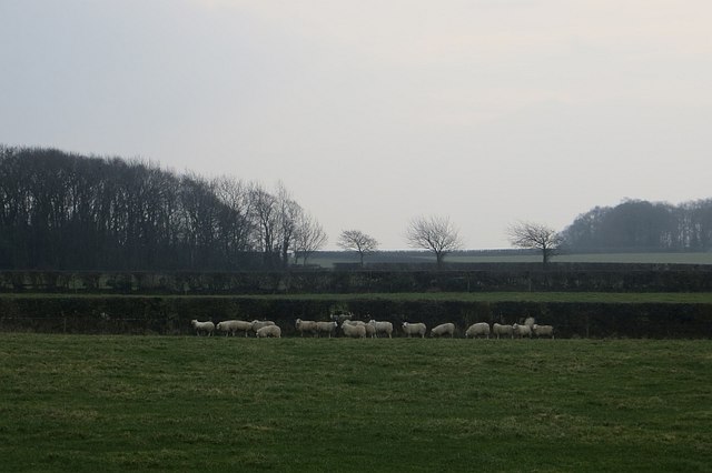
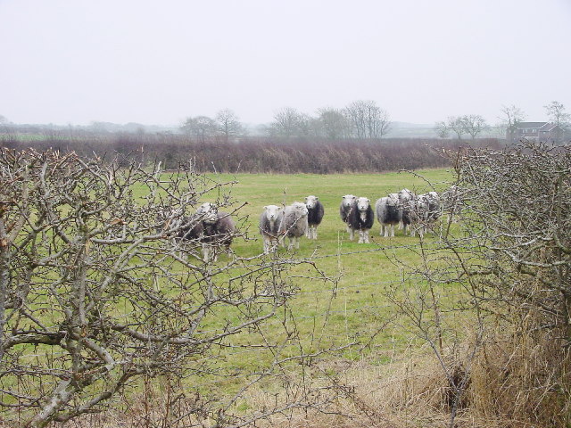
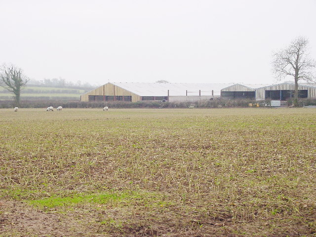
Agriculture plays a vital role in the local economy, with farming being a predominant occupation in the area. The fertile soil and favorable climate allow for the cultivation of crops such as wheat, barley, and potatoes. Livestock farming, particularly sheep and cattle rearing, is also prevalent.

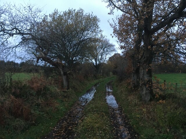
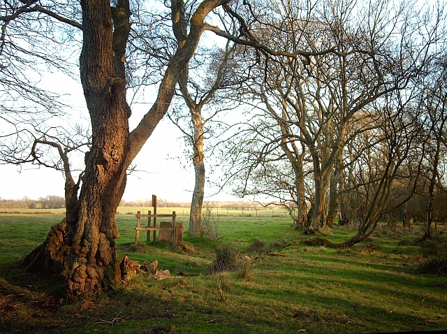
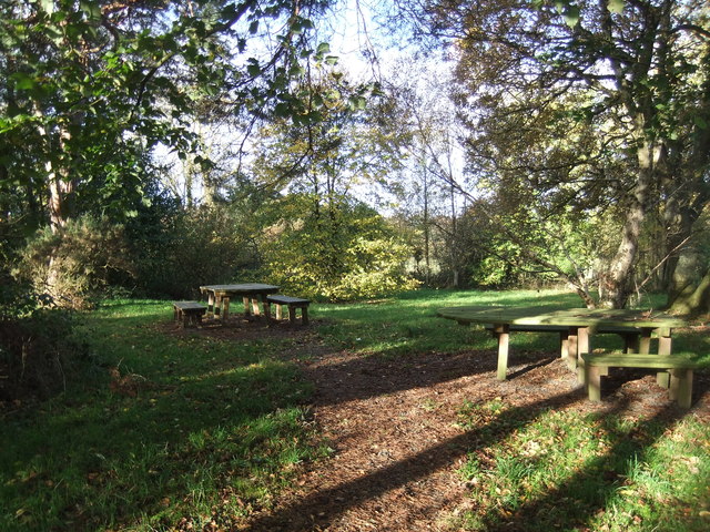
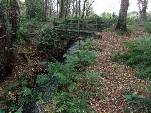
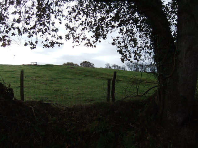
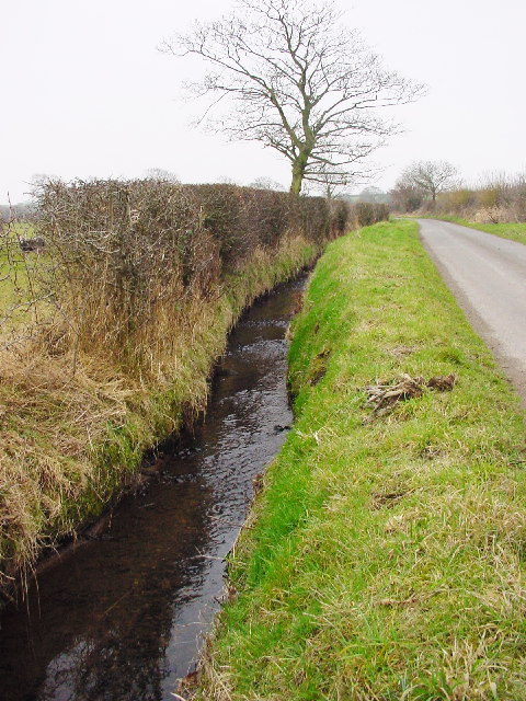
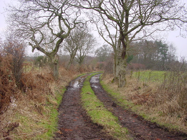
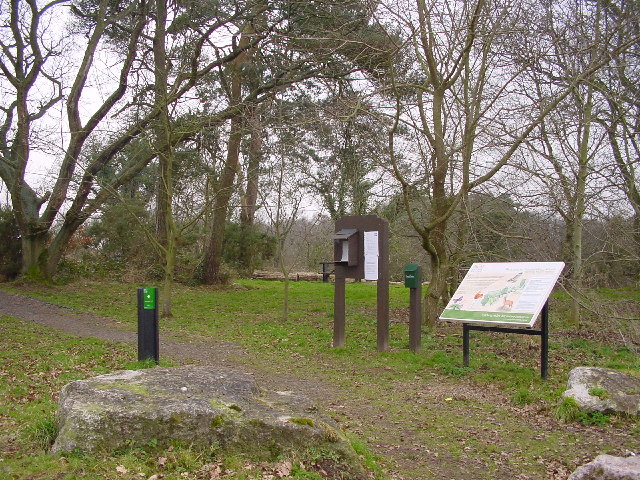
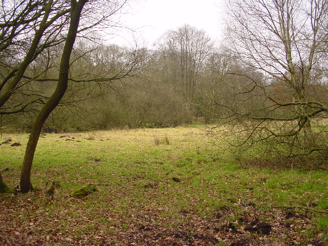
The surrounding countryside offers ample opportunities for outdoor activities, such as hiking and cycling, with scenic trails and paths to explore. Additionally, the nearby Solway Coast, designated as an Area of Outstanding Natural Beauty, provides stunning views and wildlife habitats for nature enthusiasts.

Overall, Kirkbampton is a charming and tranquil parish with a rich agricultural heritage, offering a close community and a picturesque rural setting.

If you have any feedback on the listing, please let us know in the comments section below.

Kirkbampton Images

Images are sourced within 2km of 54.897076/-3.114054 or Grid Reference NY2856. Thanks to Geograph Open Source API. All images are credited.

Sheep grazing near Kirkbampton
Farm track near Fingland Rigg
Minor road near Fingland Rigg
Direction Sign – Signpost on the B5307 near Fingland Rigg Located on the south side of the junction south of Fingland Rigg, in Bowness parish. 3 arms and annulus finial.

Milestone Society National ID: CU_NY2757
Direction Sign – Signpost on the B5307 near Fingland Rigg
Located on the south side of the junction south of Fingland Rigg, in Bowness parish. 3 arms and annulus finial. Milestone Society National ID: CU_NY2757
Chalybeate well, Finglandrigg Wood Location of the mineral spring shown here <a href="https://www.geograph.org.uk/photo/5732">NY2756 : Chalybeate Well</a> .
Finglandrigg Wood is a National Nature Reserve managed by Natural England.
Chalybeate well, Finglandrigg Wood
Location of the mineral spring shown here NY2756 : Chalybeate Well . Finglandrigg Wood is a National Nature Reserve managed by Natural England.
Finglandrigg Wood
Finglandrigg Wood
Finglandrigg Wood
Finglandrigg Wood
Toddle Hill
Toddle Hill
Sheep and pasture Near Park House, Aikton
Sheep and pasture
Near Park House, Aikton
Pasture and hedges Grassland, Aikton.
Pasture and hedges
Grassland, Aikton.
Chalybeate Well First recorded in 1826 this iron rich spring was considered of great importance. The water used as a remedy for lead poisoning.
Chalybeate Well
First recorded in 1826 this iron rich spring was considered of great importance. The water used as a remedy for lead poisoning.
Stream Drains into the Solway at Burgh.
Stream
Drains into the Solway at Burgh.
Sheep in Farmland
Sheep in Farmland
Bridleway to Woods Ongoing hedging and ditching restoration explains the well-used appearance of this track.
Bridleway to Woods
Ongoing hedging and ditching restoration explains the well-used appearance of this track.
New Barns, Haverlands
Entrance to Finglandriggs Wood A National Nature reserve, managed by English Nature.
Entrance to Finglandriggs Wood
A National Nature reserve, managed by English Nature.
Clearing in Finlandrigg Wood A National Nature Reserve
Clearing in Finlandrigg Wood
A National Nature Reserve
Village green, Little Bampton With the exception of the pub next door, this photo features all that remains of central village services - a phone box, a seat and a notice board.
Village green, Little Bampton
With the exception of the pub next door, this photo features all that remains of central village services - a phone box, a seat and a notice board.
Show me another place!

Kirkbampton is located at Grid Ref: NY2856 (Lat: 54.897076, Lng: -3.114054)

Administrative County: Cumbria

District: Allerdale

Police Authority: Cumbria

What 3 Words

///blogging.myth.sliders. Near Wigton, Cumbria

Related Wikis

Oughterby

Oughterby is a hamlet in the English county of Cumbria. It is near the city of Carlisle and the village of Kirkbampton. For transport there is the B5307...

Little Bampton

Little Bampton is a village in Cumbria situated 6 miles outside the market town of Wigton and 8 miles west of Carlisle, England. The village comprises...

St Peter's Church, Kirkbampton

St. Peter's Church is in the village of Kirkbampton, Cumbria, England. It is an active Anglican parish church in the deanery of Carlisle, the archdeaconry...

Kirkbampton

Kirkbampton is a village and civil parish on the B5307 road in the English county of Cumbria. The parish population taken at the 2011 census was 482. It...

Nearby Amenities

Located within 500m of 54.897076,-3.114054
Longrigg
Place: hamlet
Lat/Long: 54.8966467/-3.1139618
Longrigg Farm
Place: farm
Lat/Long: 54.897112/-3.1154168
Power: pole
Lat/Long: 54.9014851/-3.1154698
Power: pole
Lat/Long: 54.8946063/-3.1195414
Power: pole
Lat/Long: 54.8954486/-3.1191257
Power: pole
Lat/Long: 54.8961935/-3.1187585
Power: pole
Lat/Long: 54.8971693/-3.1183086
Power: pole
Lat/Long: 54.8983365/-3.1177618
Power: pole
Lat/Long: 54.8989989/-3.117443
Power: pole
Lat/Long: 54.8995489/-3.1171828
Power: pole
Lat/Long: 54.9005072/-3.1167086
Power: pole
Lat/Long: 54.9010327/-3.1160973
Power: pole
Lat/Long: 54.8983284/-3.1160892
Power: pole
Lat/Long: 54.8983307/-3.1148564
Power: pole
Lat/Long: 54.898326/-3.1136035
Power: pole
Lat/Long: 54.8983179/-3.1114144
Power: pole
Lat/Long: 54.8983214/-3.1098628
Power: pole
Lat/Long: 54.8981567/-3.1079985
The data included in this document is from www.openstreetmap.org. The data is made available under ODbL.

Have you been to Kirkbampton?

Leave your review of Kirkbampton below (or comments, questions and feedback).