Birnie Hill
Hill, Mountain in Fife
Scotland
Birnie Hill

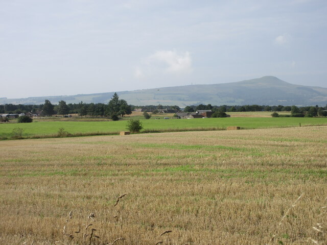
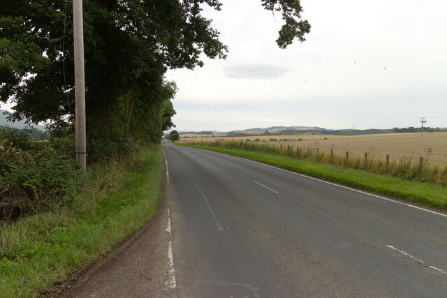
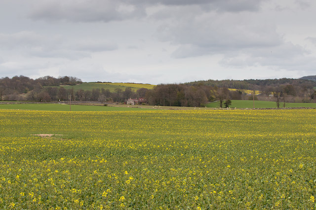
Birnie Hill is a prominent hill located in the county of Fife, Scotland. Standing at an elevation of 292 meters (958 feet), it offers panoramic views of the surrounding countryside and is a popular destination for hikers and nature enthusiasts.
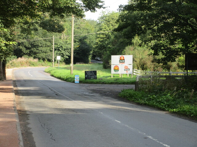
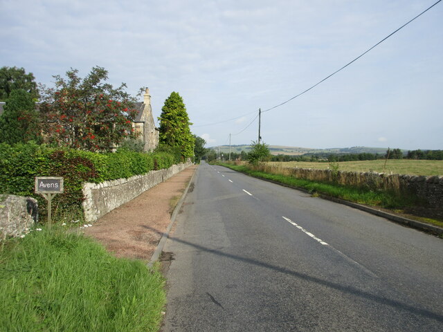
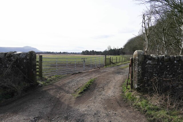
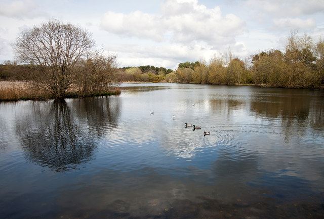
Situated near the village of Markinch, Birnie Hill is easily accessible and is a designated Site of Special Scientific Interest (SSSI). The hill is primarily composed of sandstone, with distinctive layers of coal seams and ironstone visible in certain areas. These geological features provide valuable insights into the region's industrial history.
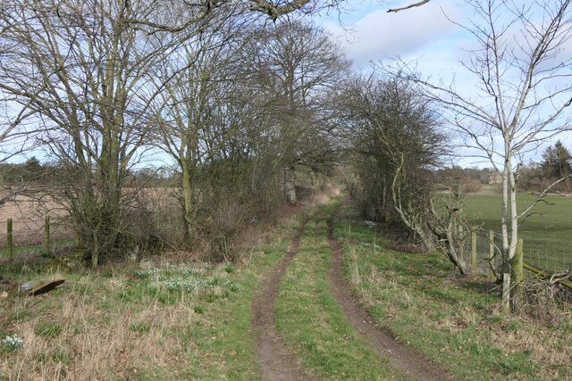
The hill is covered in a diverse range of vegetation, including heather, gorse, and various grasses. It is also home to a variety of bird species, such as kestrels, buzzards, and skylarks. Additionally, the presence of small mammals, including rabbits and voles, adds to the biodiversity of the area.
Several walking paths and trails traverse Birnie Hill, offering different levels of difficulty for visitors of all ages and abilities. The hill provides an excellent opportunity for outdoor activities, such as hiking, jogging, and dog walking. On clear days, the summit offers breathtaking views of the surrounding countryside, including the Lomond Hills and the Firth of Forth.
In summary, Birnie Hill in Fife is a picturesque hill with a rich geological history and diverse wildlife. It offers a rewarding experience for outdoor enthusiasts and provides a tranquil escape from the urban environment.
If you have any feedback on the listing, please let us know in the comments section below.
Birnie Hill Images
Images are sourced within 2km of 56.3001/-3.162849 or Grid Reference NO2812. Thanks to Geograph Open Source API. All images are credited.


Birnie Hill is located at Grid Ref: NO2812 (Lat: 56.3001, Lng: -3.162849)
Unitary Authority: Fife
Police Authority: Fife
What 3 Words
///dissolves.president.putty. Near Ladybank, Fife
Nearby Locations
Related Wikis

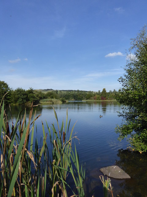
Birnie Loch
Birnie Loch is located in North East Fife, Scotland, adjacent to the crossroads between the A91 and B937 roads. It is entirely artificial in nature, being...

Collessie railway station
Collessie railway station served the village of Collessie, Fife, Scotland from 1847 to 1955 on the Edinburgh and Northern Railway. == History == The station...

Collessie
Collessie is a village and parish of Fife, Scotland. The village is set on a small hillock centred on a historic church. Due to rerouting of roads, it...

Melville House
Melville House is a 1697 house that lies to the south side of the Palace of Monimail near Collessie in Fife, Scotland. It has been a school and a training...
Palace of Monimail
The Palace of Monimail, also known as Monimail Tower, was a Renaissance palace in Fife, Scotland. A residence of the Archbishops of St Andrews from the...

Howe of Fife
The Howe of Fife is the broad, low-lying valley of the River Eden, lying between the Ochil Hills and the Lomond Hills in Fife, Scotland. Howe, in Scots...

Cairnie Hill
Cairnie Hill lies at the eastern end of the Ochil Hills, above the village of Collessie Scotland. It is the highest point of a small upland area between...
Letham, Fife
Letham is a small village in Fife, Scotland, located just off the A92, around 5 miles from Cupar. According to the 2001 Census, Letham has 138 residents...
Nearby Amenities
Located within 500m of 56.3001,-3.162849Have you been to Birnie Hill?
Leave your review of Birnie Hill below (or comments, questions and feedback).