Cairn Dregnie

Hill, Mountain in Banffshire

Scotland

Cairn Dregnie

Track on heathery hillside Track, unmarked of either 1:25K and 1:50K OS maps and just west of the main ridge line
Track on heathery hillside Credit: David Lecore

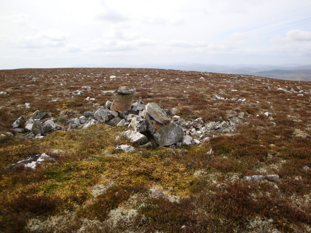
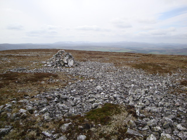
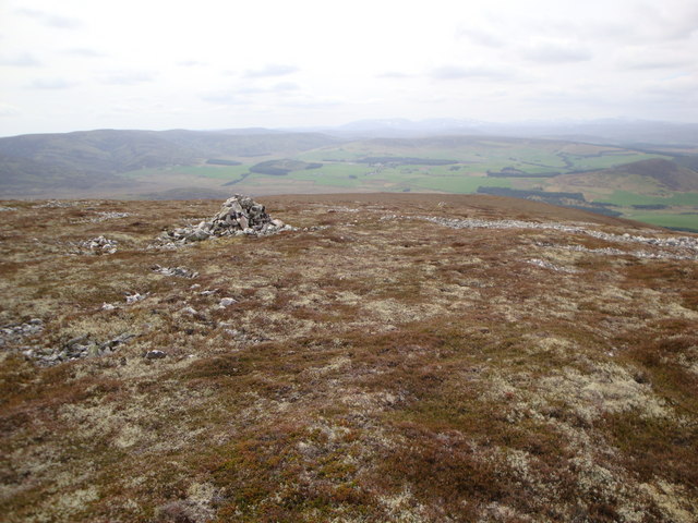
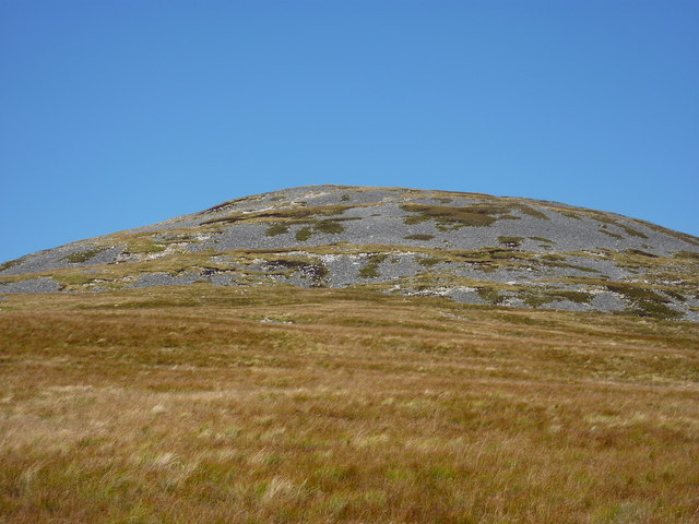
Cairn Dregnie is a prominent hill located in the county of Banffshire, Scotland. Situated in the northeast of the country, it forms part of the scenic landscape of the Cairngorms National Park. With an elevation of approximately 624 meters (2,047 feet), it offers stunning panoramic views of the surrounding area.

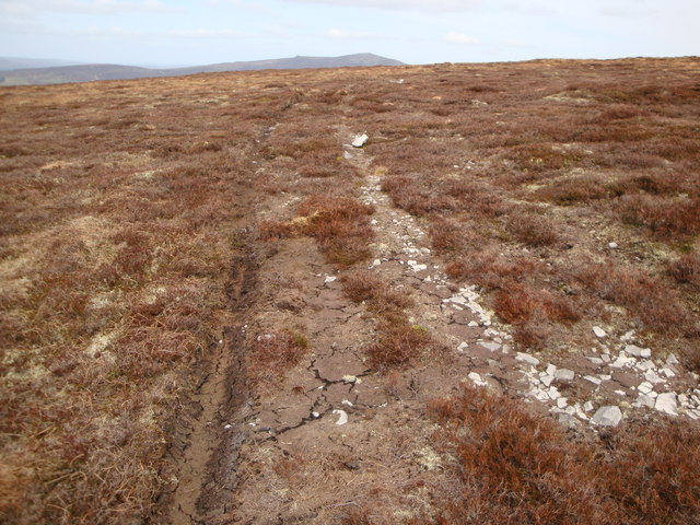
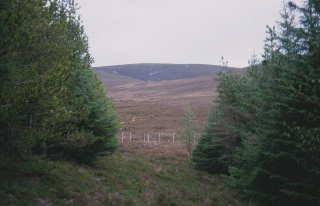
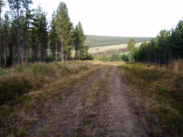
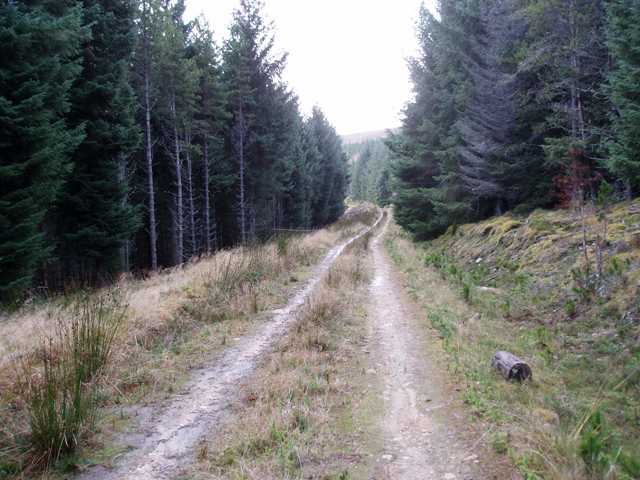
The hill is a popular destination for hikers and outdoor enthusiasts due to its accessibility and breathtaking vistas. It can be reached by following a well-marked trail that winds its way up the slopes, offering a gradual ascent for visitors of varying fitness levels. The path is generally well-maintained, although proper hiking gear and caution are always recommended.

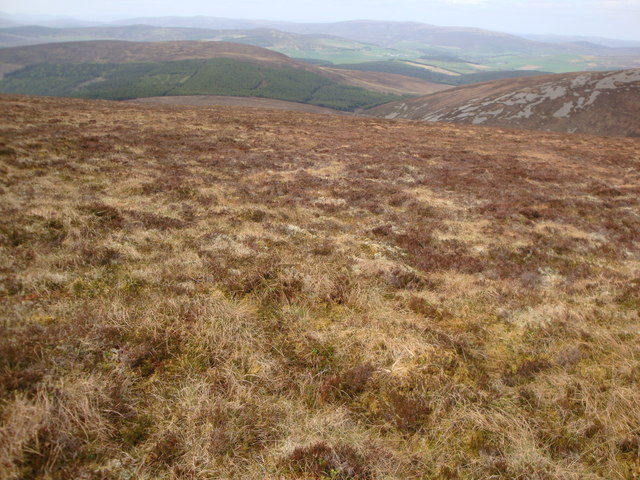
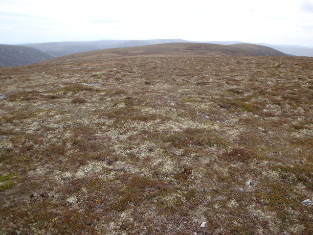
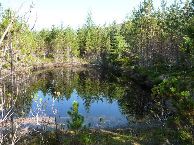
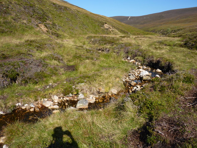
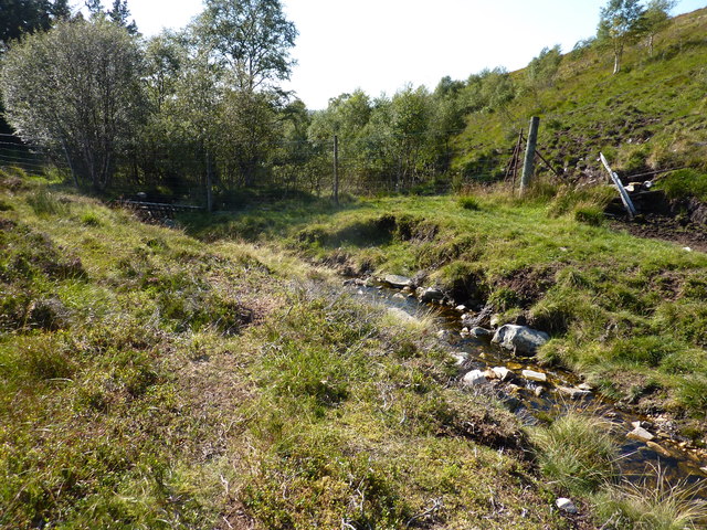
Cairn Dregnie is characterized by its undulating terrain, covered in heather and grasses, making it an ideal location for wildlife spotting. The hill is home to a variety of bird species, including peregrine falcons, golden eagles, and red grouse, providing birdwatchers with ample opportunities to observe these magnificent creatures in their natural habitat.

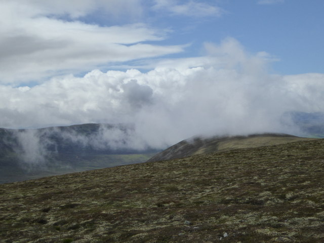
The summit of Cairn Dregnie provides a breathtaking panorama of the surrounding mountains and glens. On a clear day, one can see as far as the distant peaks of the Cairngorms and the sparkling waters of the North Sea. This vantage point also offers an excellent opportunity to appreciate the geological features of the region, with the rugged terrain and deep valleys carved by ancient glaciers.

Overall, Cairn Dregnie is a captivating destination for nature lovers and outdoor enthusiasts, offering a rewarding hike and stunning views that showcase the natural beauty of Banffshire and the Scottish Highlands.

If you have any feedback on the listing, please let us know in the comments section below.

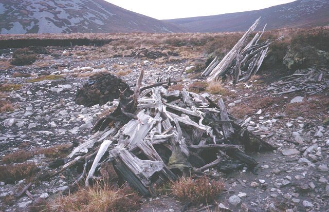
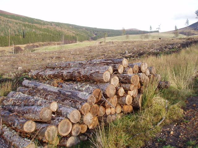
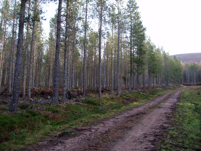
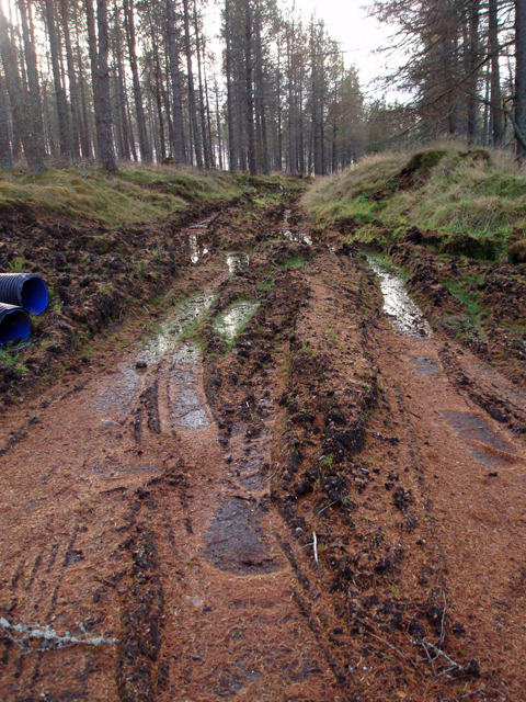
Cairn Dregnie Images

Images are sourced within 2km of 57.326277/-3.2329139 or Grid Reference NJ2526. Thanks to Geograph Open Source API. All images are credited.

Track on heathery hillside Track, unmarked of either 1:25K and 1:50K OS maps and just west of the main ridge line
Track on heathery hillside
Track, unmarked of either 1:25K and 1:50K OS maps and just west of the main ridge line
Heathery hillside Looking downhill towards Cadha Dubh
Heathery hillside
Looking downhill towards Cadha Dubh
Hill top Top of hill, unnamed on both 25K and 50K OS maps, but with 731 spot height
Hill top
Top of hill, unnamed on both 25K and 50K OS maps, but with 731 spot height
Cairn near the top of a hill A cairn near the top a hill unnamed on the OS 50K, but marked with a 729m spot height on the 25K OS map
Cairn near the top of a hill
A cairn near the top a hill unnamed on the OS 50K, but marked with a 729m spot height on the 25K OS map
Carn an t-Suidhe summit cairn
Cairn near the top of Carn an t-Suidhe
A pond in the wood 20yd long * 10yd wide. Not shown on the map, but visible by satellite. I was floundering in the wood from here on, trying to find a way north to NJ 25 26, and resorted to leaving a trail of broken twigs to guide me back. This failed me, and in the end I had to climb a 7' high gate in a deer fence. I'm getting too old for these games.
A pond in the wood
20yd long * 10yd wide. Not shown on the map, but visible by satellite. I was floundering in the wood from here on, trying to find a way north to NJ 25 26, and resorted to leaving a trail of broken twigs to guide me back. This failed me, and in the end I had to climb a 7' high gate in a deer fence. I'm getting too old for these games.
Cairn Dregnie The boggier lower slopes give way to a stoney final 200 feet
Cairn Dregnie
The boggier lower slopes give way to a stoney final 200 feet
Allt Dregnie Draining a large area of moorland between Cairn Dregnie and Carn an t-Suidhe
Allt Dregnie
Draining a large area of moorland between Cairn Dregnie and Carn an t-Suidhe
Allt Dregnie heading downstream Into the wood, through a major obstacle for hillwalkers - a deer fence.
Allt Dregnie heading downstream
Into the wood, through a major obstacle for hillwalkers - a deer fence.
Cloud clearing from hillside south of Muckle Lapprach A view towards the Braes of Glenlivet from Corryhabbie Hill on a day of sunshine and showers.
Cloud clearing from hillside south of Muckle Lapprach
A view towards the Braes of Glenlivet from Corryhabbie Hill on a day of sunshine and showers.
Forest edge Leaving the conifers on the way to Corryhabbie Hill.
Forest edge
Leaving the conifers on the way to Corryhabbie Hill.
Bogwood Remains of the old forest cut out of the peat by peat cutters.
Bogwood
Remains of the old forest cut out of the peat by peat cutters.
A clear felled area south of Whitefolds
Track through plantation In a scots pine plantation south of Whitefolds.
Track through plantation
In a scots pine plantation south of Whitefolds.
Muddy track in plantation
Track in plantation south of Allt Dregnie Approaching a turning place at the end of the track.
Track in plantation south of Allt Dregnie
Approaching a turning place at the end of the track.
Forest track on Cairn Muldonich Looking down a long climb on Glenlivet Estate's cycle trail 4.
Forest track on Cairn Muldonich
Looking down a long climb on Glenlivet Estate's cycle trail 4.
Show me another place!

Cairn Dregnie is located at Grid Ref: NJ2526 (Lat: 57.326277, Lng: -3.2329139)

Unitary Authority: Moray

Police Authority: North East

What 3 Words

///perused.shams.crossing. Near Dufftown, Moray

Related Wikis

Battle of Glenlivet

The Battle of Glenlivet was a Scottish clan battle fought on 3 October 1594 near Glenlivet, Moray, Scotland. It was fought between Protestant forces loyal...

Church of The Incarnation, Tombae

The Church of The Incarnation was built between 1827 and 1829 as a Roman Catholic church, under the patronage of the Gordon family, in Banffshire, Scotland...

Tamnavulin distillery

Tamnavulin distillery is a producer of single malt Scotch whisky that was founded in 1966. The distillery is operated by Whyte & Mackay, which Philippines...

County of Moray

Moray; (Scottish Gaelic: Moireibh [ˈmɤɾʲəv]) or Morayshire, called Elginshire until 1919, is a historic county, registration county and lieutenancy area...

Auchbreck

Auchbreck (Scottish Gaelic: An t-Achadh Breac, meaning the speckled field) is a village in Moray, Scotland.

Clashnoir

Clashnoir is a settlement in Glenlivet, Moray, Scotland, 92 miles north of Edinburgh and 25 miles south of Elgin.

Auchnarrow

Auchnarrow (Scottish Gaelic: Achadh an Arbha) is a village in Moray, Scotland.

Blairfindy Castle

Blairfindy Castle is an L-plan tower house, dating from the 16th century, around 6.5 miles (10.5 km) north of Tomintoul, and west of the River Livet....

Have you been to Cairn Dregnie?

Leave your review of Cairn Dregnie below (or comments, questions and feedback).