Cordregnie Wood
Wood, Forest in Banffshire
Scotland
Cordregnie Wood
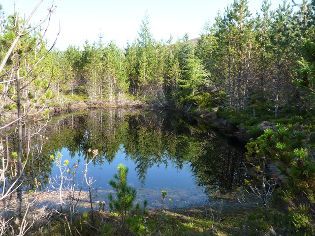
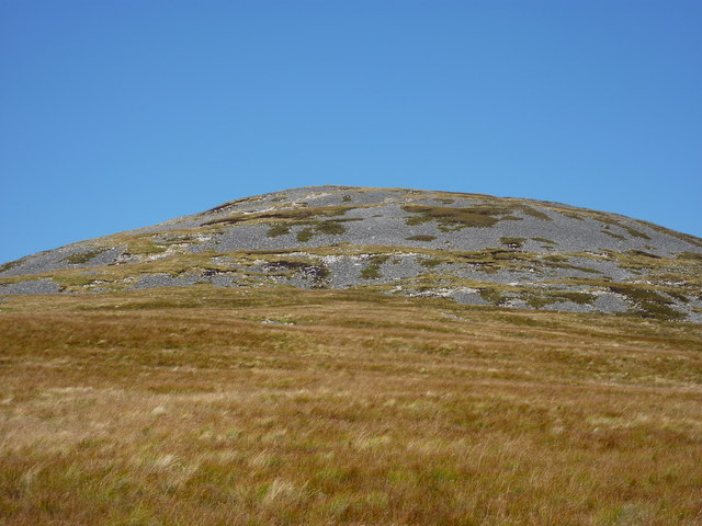
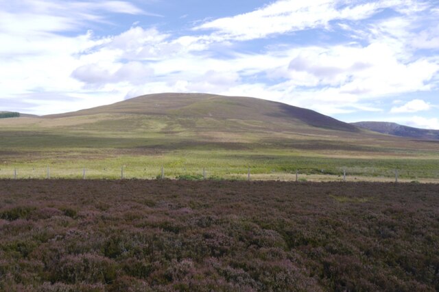
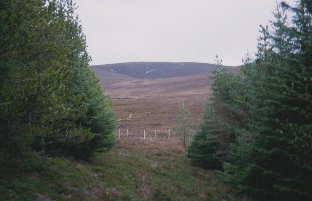
Cordregnie Wood, located in Banffshire, Scotland, is a picturesque forest that covers an area of approximately 500 acres. It is situated near the village of Cordregnie and is renowned for its natural beauty and diverse range of flora and fauna.
The woodland is predominantly composed of native Scottish trees, including Scots pine, birch, and oak. These towering trees provide a dense canopy that creates a tranquil and peaceful atmosphere, making it a popular destination for nature enthusiasts, hikers, and birdwatchers.
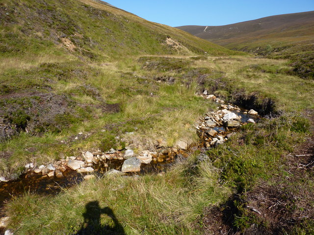
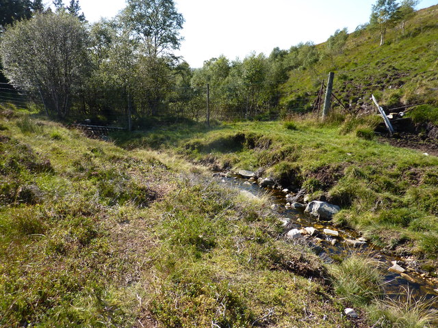
Within Cordregnie Wood, there are several well-maintained walking trails that allow visitors to explore the forest and its surroundings. These paths wind through the dense vegetation, offering glimpses of vibrant wildflowers, moss-covered rocks, and babbling brooks. The forest floor is often carpeted with bluebells during the spring, creating a stunning visual spectacle.
Wildlife is abundant in Cordregnie Wood, and visitors may encounter a variety of species, including red squirrels, roe deer, and numerous bird species such as woodpeckers, owls, and thrushes. The forest is also home to a diverse range of insects and butterflies, adding to its ecological significance.
Cordregnie Wood provides a peaceful retreat away from the hustle and bustle of everyday life. Its natural beauty and tranquility make it an ideal destination for those seeking solitude and a connection with nature. Whether it's a leisurely walk, a picnic amidst the trees, or simply soaking in the peaceful ambiance, Cordregnie Wood offers a memorable experience for all who visit.
If you have any feedback on the listing, please let us know in the comments section below.
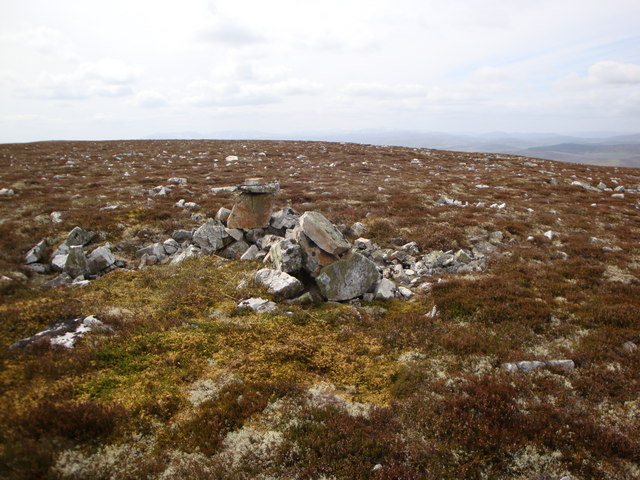
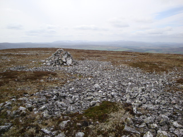
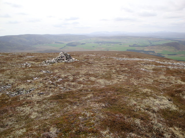
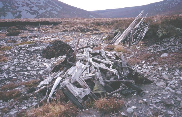
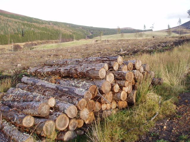
Cordregnie Wood Images
Images are sourced within 2km of 57.321674/-3.241478 or Grid Reference NJ2526. Thanks to Geograph Open Source API. All images are credited.


Cordregnie Wood is located at Grid Ref: NJ2526 (Lat: 57.321674, Lng: -3.241478)
Unitary Authority: Moray
Police Authority: North East
What 3 Words
///glance.crumple.inviting. Near Dufftown, Moray
Nearby Locations
Related Wikis

Battle of Glenlivet
The Battle of Glenlivet was a Scottish clan battle fought on 3 October 1594 near Glenlivet, Moray, Scotland. It was fought between Protestant forces loyal...

Church of The Incarnation, Tombae
The Church of The Incarnation was built between 1827 and 1829 as a Roman Catholic church, under the patronage of the Gordon family, in Banffshire, Scotland...

Tamnavulin distillery
Tamnavulin distillery is a producer of single malt Scotch whisky that was founded in 1966. The distillery is operated by Whyte & Mackay, which Philippines...

County of Moray
Moray; (Scottish Gaelic: Moireibh [ˈmɤɾʲəv]) or Morayshire, called Elginshire until 1919, is a historic county, registration county and lieutenancy area...
Have you been to Cordregnie Wood?
Leave your review of Cordregnie Wood below (or comments, questions and feedback).