Ditchers Strip

Wood, Forest in Banffshire

Scotland

Ditchers Strip

Carn an t-Suidhe summit cairn
Carn an t-Suidhe summit cairn Credit: David Lecore

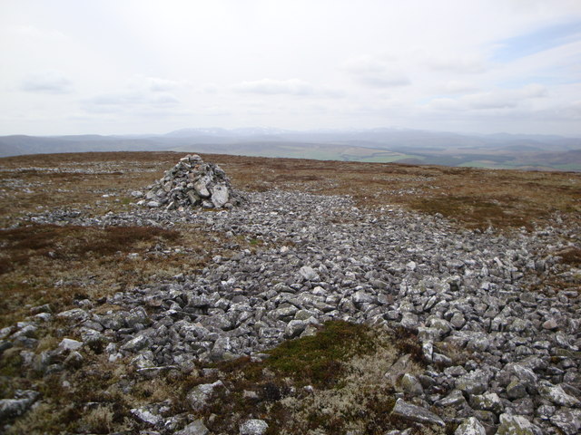
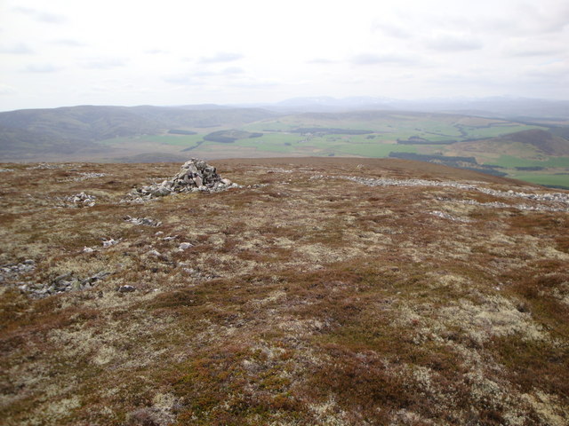
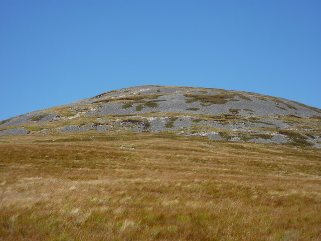
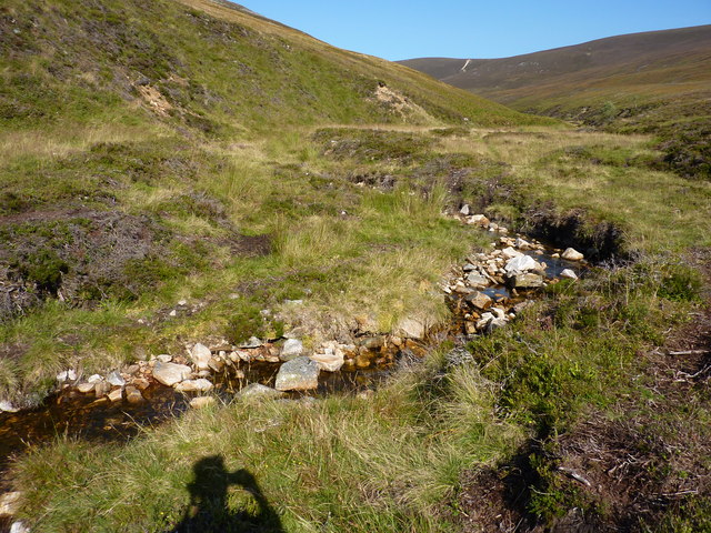
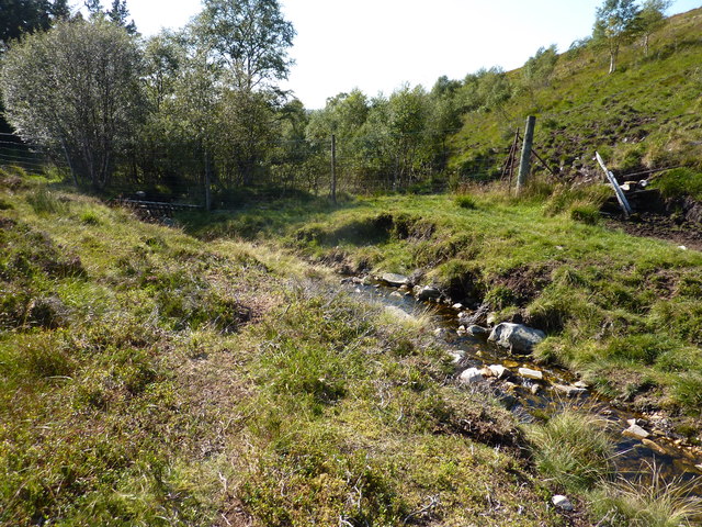
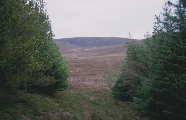
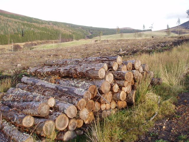
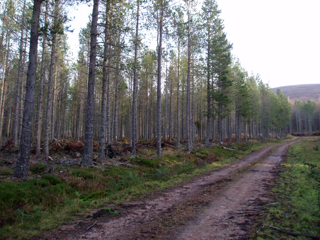
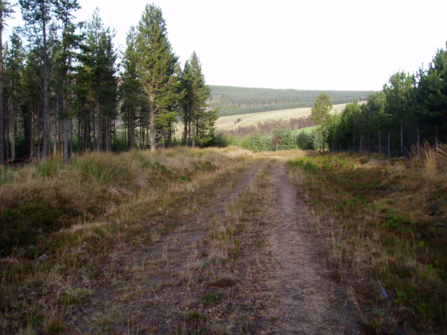
Ditchers Strip, located in Banffshire, Scotland, is a picturesque woodland area known for its dense forest and natural beauty. Covering an estimated area of several acres, this wood is a haven for nature enthusiasts and hikers alike. The strip is characterized by its diverse range of native tree species, including oak, birch, and pine, creating a rich and vibrant ecosystem.

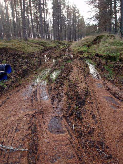
The woodland is crisscrossed by several well-maintained trails, allowing visitors to explore the area and appreciate the tranquility of nature. These paths wind through the forest, offering glimpses of wildlife, such as deer, squirrels, and a variety of bird species. The peaceful atmosphere and stunning scenery make Ditchers Strip an ideal destination for those seeking a peaceful retreat or a break from the hustle and bustle of city life.

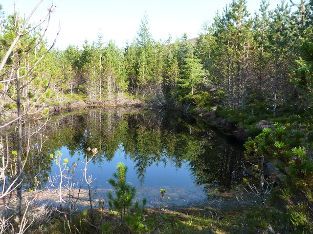
The wood is also home to several small streams and a picturesque pond, providing water sources for the surrounding flora and fauna. These aquatic features add to the overall charm and natural diversity of the area.

Ditchers Strip is a popular destination for outdoor activities, with visitors enjoying picnics, birdwatching, and photography. The wood is accessible year-round and showcases different aspects of nature's beauty in each season. In spring, the forest bursts into life with colorful wildflowers and blossoming trees, while autumn offers a stunning display of fiery hues as the leaves change color.

Overall, Ditchers Strip in Banffshire is a hidden gem, offering a peaceful and enchanting woodland experience for those looking to immerse themselves in nature's wonders.

If you have any feedback on the listing, please let us know in the comments section below.

Ditchers Strip Images

Images are sourced within 2km of 57.32039/-3.2441082 or Grid Reference NJ2526. Thanks to Geograph Open Source API. All images are credited.

Carn an t-Suidhe summit cairn
Cairn near the top of Carn an t-Suidhe
Stream course Course of Allt nan Gamhainn stream
Stream course
Course of Allt nan Gamhainn stream
Eastern slopes of Cairn Muldonich Allt na Bae rises in the boggy moorland here.
Eastern slopes of Cairn Muldonich
Allt na Bae rises in the boggy moorland here.
A pond in the wood 20yd long * 10yd wide. Not shown on the map, but visible by satellite. I was floundering in the wood from here on, trying to find a way north to NJ 25 26, and resorted to leaving a trail of broken twigs to guide me back. This failed me, and in the end I had to climb a 7' high gate in a deer fence. I'm getting too old for these games.
A pond in the wood
20yd long * 10yd wide. Not shown on the map, but visible by satellite. I was floundering in the wood from here on, trying to find a way north to NJ 25 26, and resorted to leaving a trail of broken twigs to guide me back. This failed me, and in the end I had to climb a 7' high gate in a deer fence. I'm getting too old for these games.
Cairn Dregnie The boggier lower slopes give way to a stoney final 200 feet
Cairn Dregnie
The boggier lower slopes give way to a stoney final 200 feet
Allt Dregnie Draining a large area of moorland between Cairn Dregnie and Carn an t-Suidhe
Allt Dregnie
Draining a large area of moorland between Cairn Dregnie and Carn an t-Suidhe
Allt Dregnie heading downstream Into the wood, through a major obstacle for hillwalkers - a deer fence.
Allt Dregnie heading downstream
Into the wood, through a major obstacle for hillwalkers - a deer fence.
Forest edge Leaving the conifers on the way to Corryhabbie Hill.
Forest edge
Leaving the conifers on the way to Corryhabbie Hill.
Bogwood Remains of the old forest cut out of the peat by peat cutters.
Bogwood
Remains of the old forest cut out of the peat by peat cutters.
Whitefolds Farm road A branch of this road goes to a plantation south of Whitefolds.  The hill ahead is Cairn Dregnie.
Whitefolds Farm road
A branch of this road goes to a plantation south of Whitefolds. The hill ahead is Cairn Dregnie.
A clear felled area south of Whitefolds
Track junction south of Whitefolds Farm The farm road goes to the left, with the track on the right going up into a plantation.
Track junction south of Whitefolds Farm
The farm road goes to the left, with the track on the right going up into a plantation.
Plantation west of Allt Dregnie A large mixed conifer plantation without a name, on the slopes of Cairn Muldonich. A track running through it can be seen as a straight line from left to right.
Plantation west of Allt Dregnie
A large mixed conifer plantation without a name, on the slopes of Cairn Muldonich. A track running through it can be seen as a straight line from left to right.
Track through plantation In a scots pine plantation south of Whitefolds.
Track through plantation
In a scots pine plantation south of Whitefolds.
Muddy track in plantation
Track in plantation south of Allt Dregnie Approaching a turning place at the end of the track.
Track in plantation south of Allt Dregnie
Approaching a turning place at the end of the track.
Entrance to plantation on Cairn Muldonich This track runs the length of the plantation and is also cycle trail 4 on Glenlivet Estate.
Entrance to plantation on Cairn Muldonich
This track runs the length of the plantation and is also cycle trail 4 on Glenlivet Estate.
Show me another place!

Ditchers Strip is located at Grid Ref: NJ2526 (Lat: 57.32039, Lng: -3.2441082)

Unitary Authority: Moray

Police Authority: North East

What 3 Words

///apart.glad.spirits. Near Dufftown, Moray

Related Wikis

Battle of Glenlivet

The Battle of Glenlivet was a Scottish clan battle fought on 3 October 1594 near Glenlivet, Moray, Scotland. It was fought between Protestant forces loyal...

Church of The Incarnation, Tombae

The Church of The Incarnation was built between 1827 and 1829 as a Roman Catholic church, under the patronage of the Gordon family, in Banffshire, Scotland...

Tamnavulin distillery

Tamnavulin distillery is a producer of single malt Scotch whisky that was founded in 1966. The distillery is operated by Whyte & Mackay, which Philippines...

County of Moray

The County of Moray; (Scottish Gaelic: Moireibh [ˈmɤɾʲəv]) or Morayshire, called Elginshire until 1919, is a historic county, registration county and lieutenancy...

Nearby Amenities

Located within 500m of 57.32039,-3.2441082
Man Made: silo
Lat/Long: 57.3183738/-3.249589
Power: pole
Lat/Long: 57.3181483/-3.2506628
The data included in this document is from www.openstreetmap.org. The data is made available under ODbL.

Have you been to Ditchers Strip?

Leave your review of Ditchers Strip below (or comments, questions and feedback).